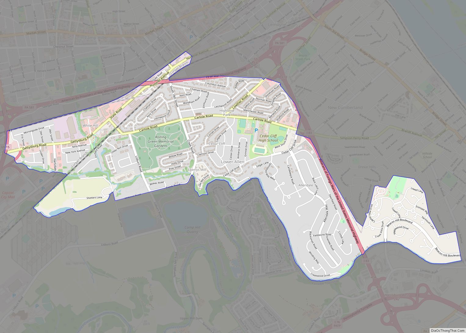
Lower Allen is a census-designated place (CDP) in Lower Allen Township in Cumberland County, Pennsylvania, United States. The population was 6,694 at the 2010 census. It is part of the Harrisburg–Carlisle metropolitan statistical area.
| Name: | Lower Allen CDP |
|---|---|
| LSAD Code: | 57 |
| LSAD Description: | CDP (suffix) |
| State: | Pennsylvania |
| County: | Cumberland County |
| Elevation: | 390 ft (120 m) |
| Total Area: | 2.23 sq mi (5.78 km²) |
| Land Area: | 2.20 sq mi (5.69 km²) |
| Water Area: | 0.03 sq mi (0.09 km²) |
| Total Population: | 7,465 |
| Population Density: | 3,397.82/sq mi (1,311.95/km²) |
| FIPS code: | 4244824 |
| GNISfeature ID: | 1867496 |
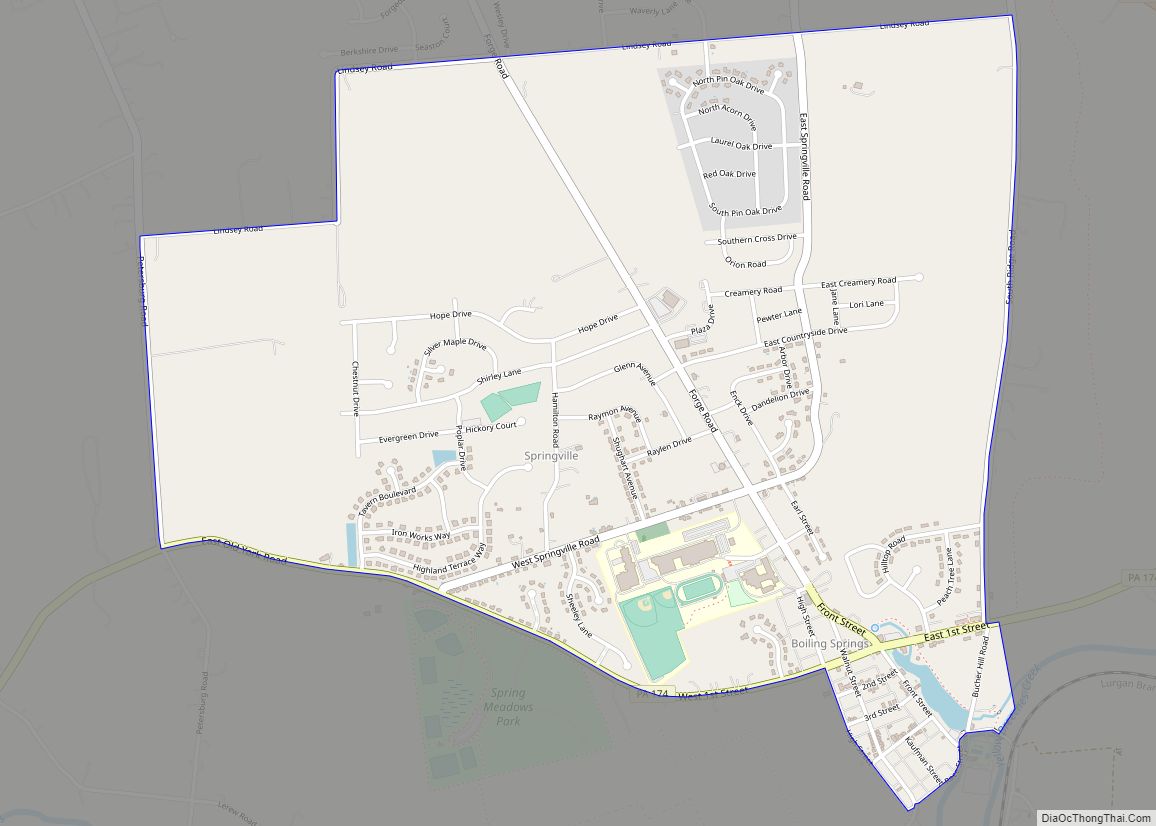
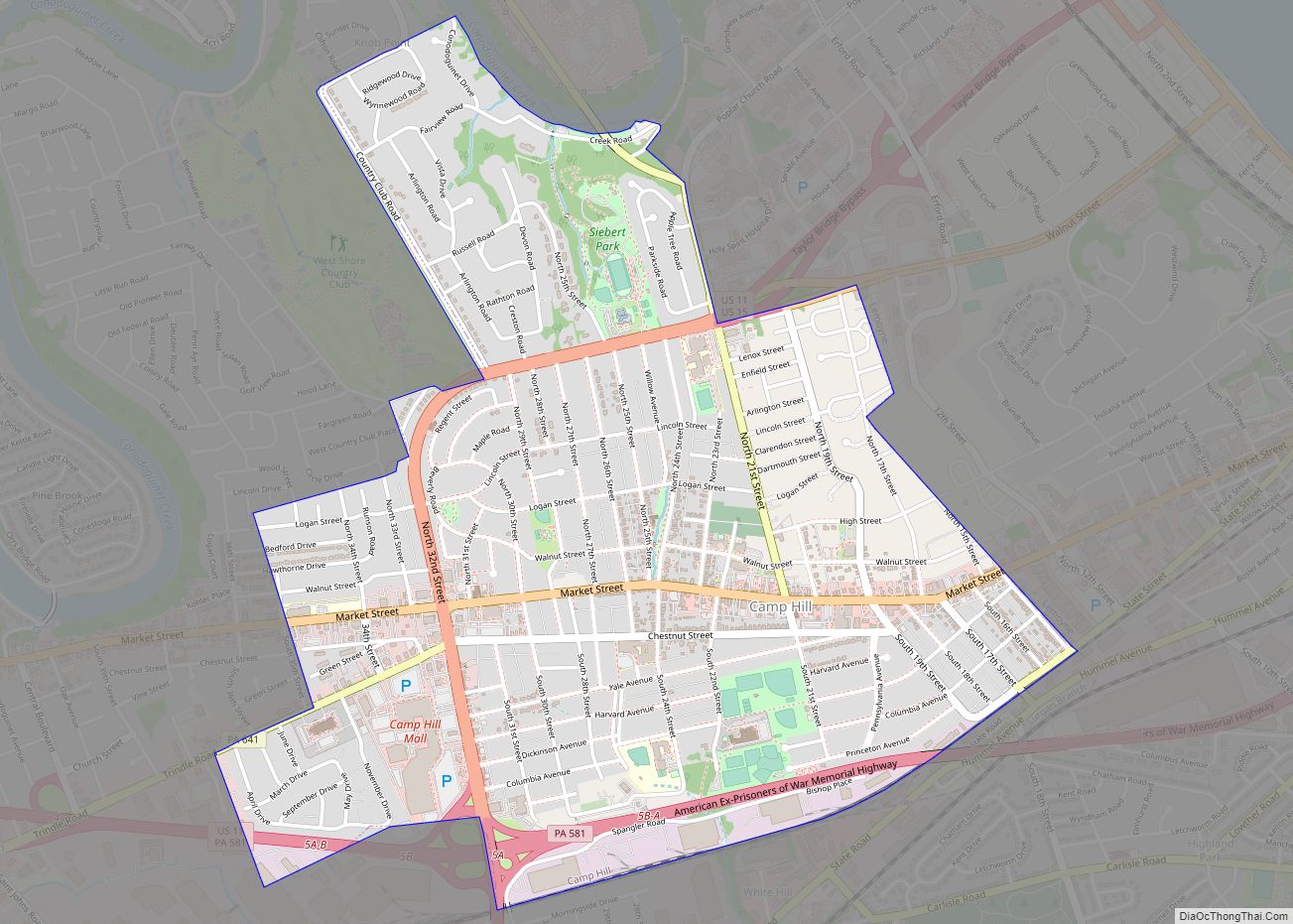
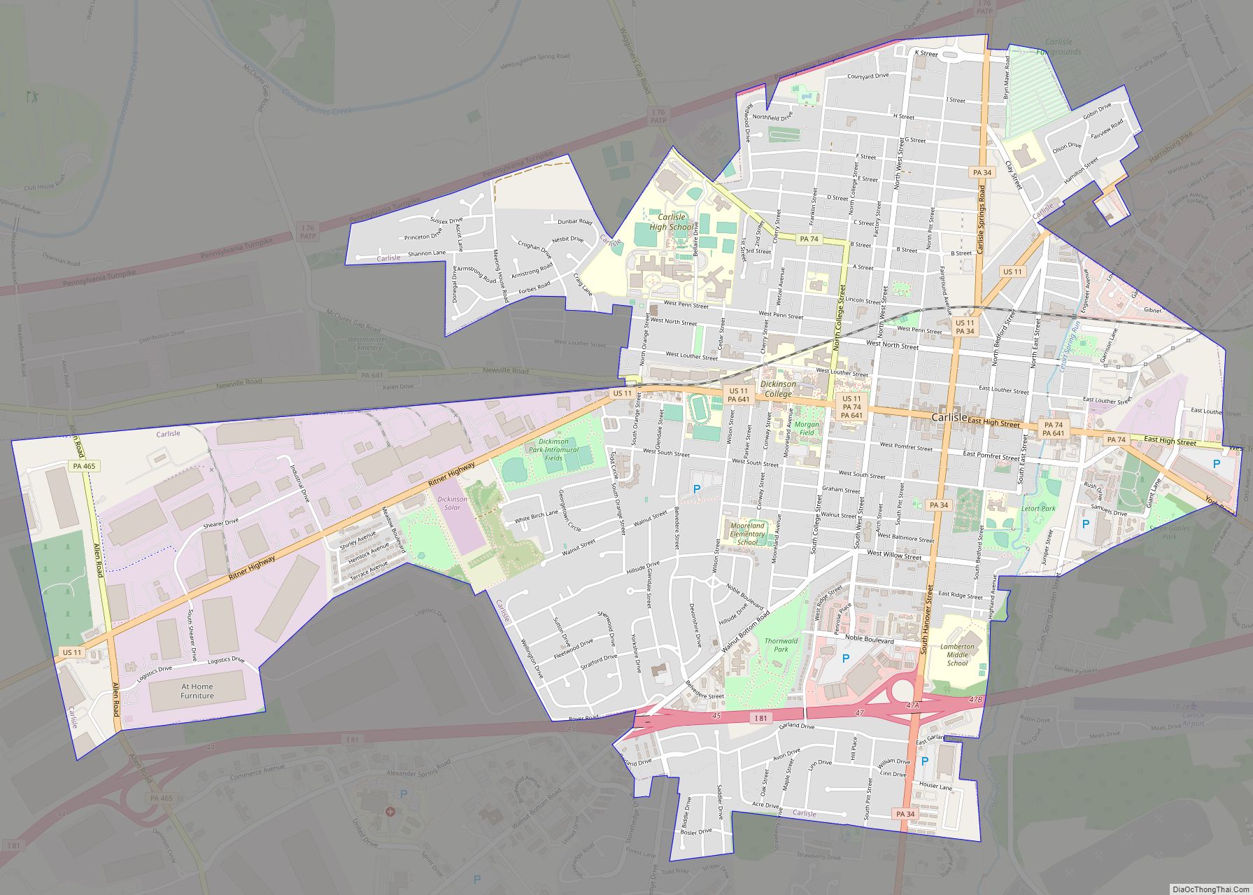
Online Interactive Map
Click on ![]() to view map in "full screen" mode.
to view map in "full screen" mode.
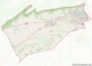
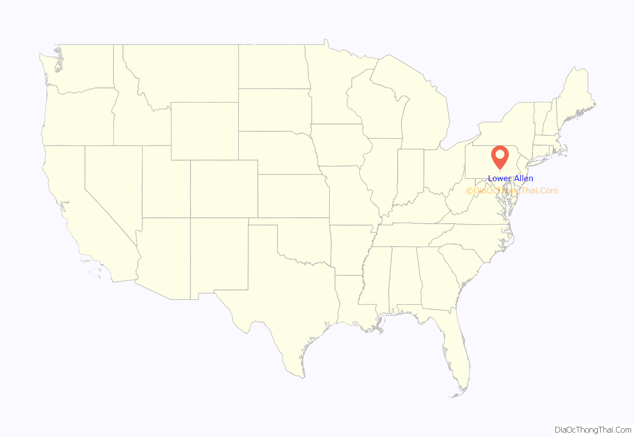
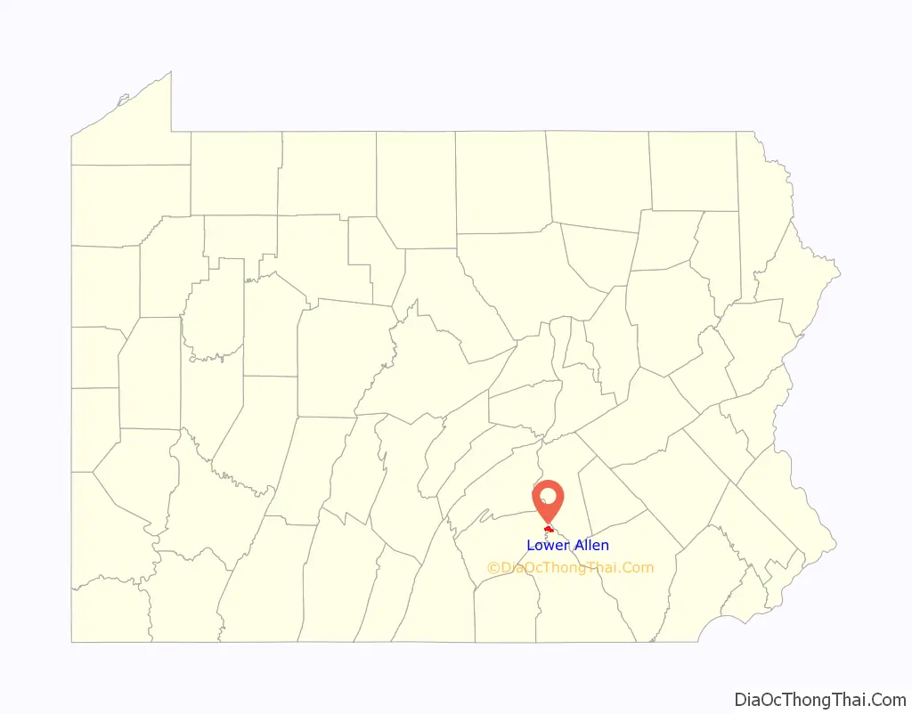
Lower Allen location map. Where is Lower Allen CDP?
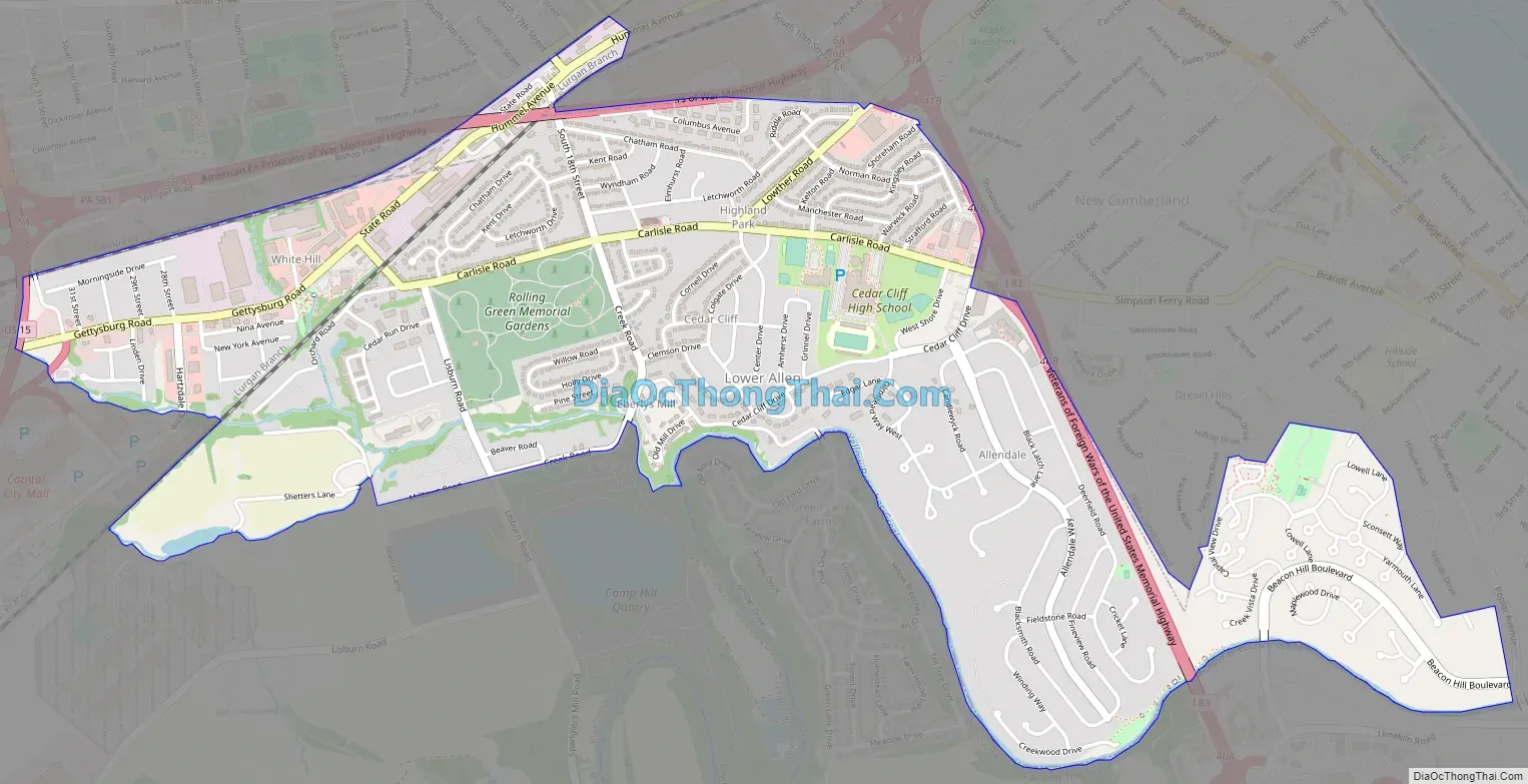
Lower Allen Road Map
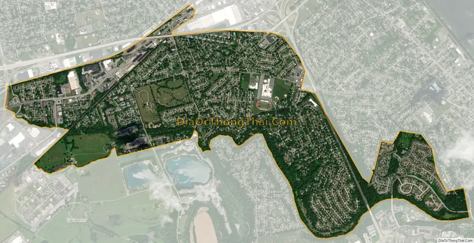
Lower Allen city Satellite Map
Geography
Lower Allen is located in eastern Cumberland County, occupying the northeastern corner of Lower Allen Township at 40°13′41″N 76°54′8″W / 40.22806°N 76.90222°W / 40.22806; -76.90222 (40.227990, -76.902305). The CDP consists of several suburban neighborhoods in the Harrisburg area, including White Hill, Highland Park, Eberlys Mill, Cedar Cliff, and Allendale. Neighboring communities are the boroughs of Camp Hill and Lemoyne to the north and the borough of New Cumberland to the east. The remainder of Lower Allen Township is to the west and southwest. Yellow Breeches Creek forms part of the southern boundary of the CDP, across which is Fairview Township in York County.
Interstate 83 runs along the eastern edge of Lower Allen, with access from Exits 40B and 41A. The Harrisburg Capital Beltway (Pennsylvania Route 581) runs along the northern edge of the CDP. U.S. Route 15 forms the western extent of the CDP, with the nearest access from Lower Allen Drive at the Capital City Mall, just outside the CDP’s limit.According to the U.S. Census Bureau, Lower Allen has a total area of 2.2 square miles (5.8 km), of which 2.2 square miles (5.7 km) is land and 0.04 square miles (0.1 km), or 1.51%, is water.
See also
Map of Pennsylvania State and its subdivision:- Adams
- Allegheny
- Armstrong
- Beaver
- Bedford
- Berks
- Blair
- Bradford
- Bucks
- Butler
- Cambria
- Cameron
- Carbon
- Centre
- Chester
- Clarion
- Clearfield
- Clinton
- Columbia
- Crawford
- Cumberland
- Dauphin
- Delaware
- Elk
- Erie
- Fayette
- Forest
- Franklin
- Fulton
- Greene
- Huntingdon
- Indiana
- Jefferson
- Juniata
- Lackawanna
- Lancaster
- Lawrence
- Lebanon
- Lehigh
- Luzerne
- Lycoming
- Mc Kean
- Mercer
- Mifflin
- Monroe
- Montgomery
- Montour
- Northampton
- Northumberland
- Perry
- Philadelphia
- Pike
- Potter
- Schuylkill
- Snyder
- Somerset
- Sullivan
- Susquehanna
- Tioga
- Union
- Venango
- Warren
- Washington
- Wayne
- Westmoreland
- Wyoming
- York
- Alabama
- Alaska
- Arizona
- Arkansas
- California
- Colorado
- Connecticut
- Delaware
- District of Columbia
- Florida
- Georgia
- Hawaii
- Idaho
- Illinois
- Indiana
- Iowa
- Kansas
- Kentucky
- Louisiana
- Maine
- Maryland
- Massachusetts
- Michigan
- Minnesota
- Mississippi
- Missouri
- Montana
- Nebraska
- Nevada
- New Hampshire
- New Jersey
- New Mexico
- New York
- North Carolina
- North Dakota
- Ohio
- Oklahoma
- Oregon
- Pennsylvania
- Rhode Island
- South Carolina
- South Dakota
- Tennessee
- Texas
- Utah
- Vermont
- Virginia
- Washington
- West Virginia
- Wisconsin
- Wyoming