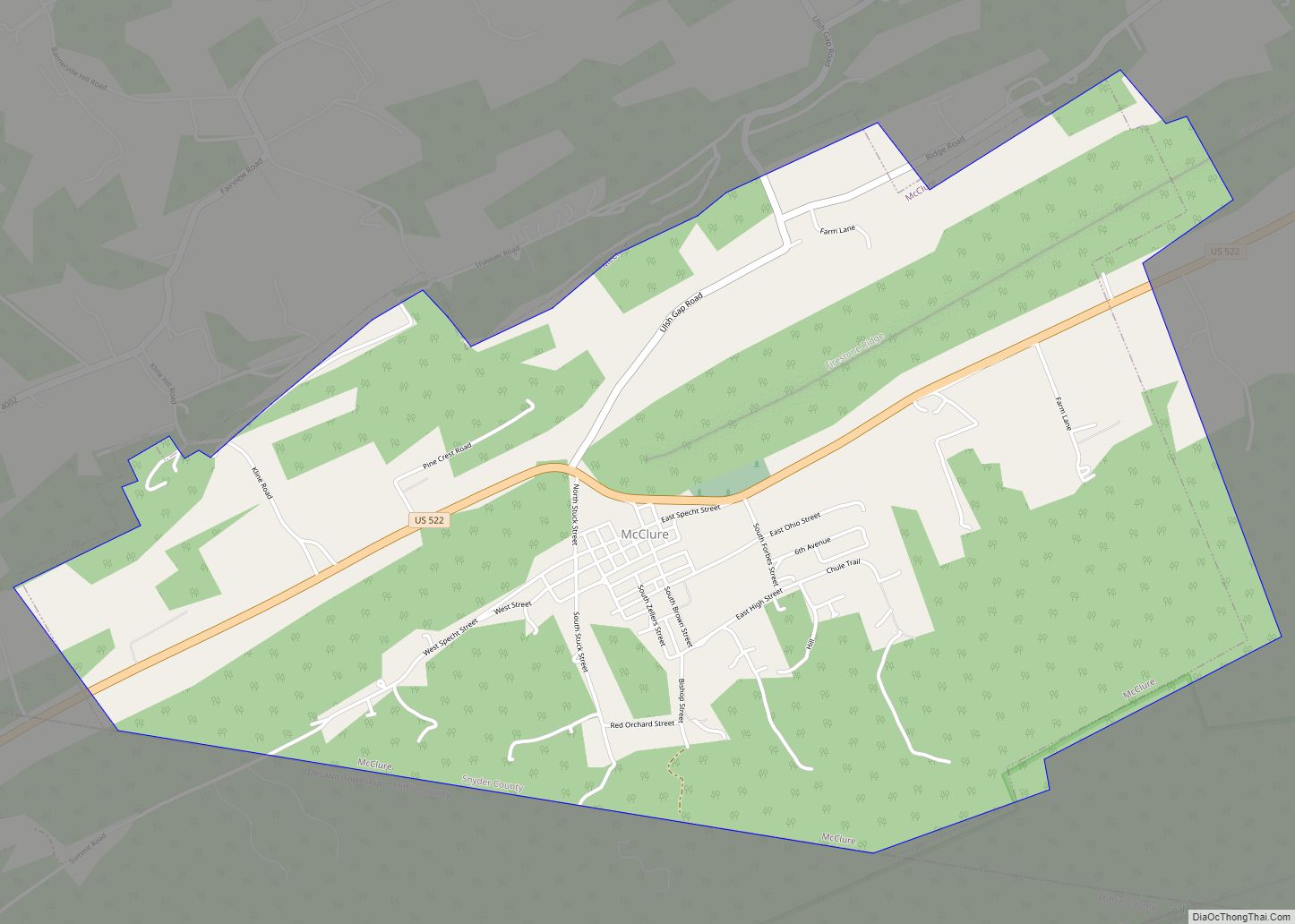
McClure is a borough in Snyder County, Pennsylvania, United States. The population was 889 at the 2020 census. The town is named for the 19th century Pennsylvania politician and journalist Alexander Kelly McClure. McClure owes its origin to the building of the Sunbury and Lewistown Railroad, that at one time ran through the center of town. The town was founded in 1867. The borough of McClure was established on January 1, 1967, when the residents decided to incorporate.
The town was originally named Stuckton after George Stuck who owned the farm land that today is known as McClure. In the year 1867, when it was certain that the Middlecreek Valley Railroad would be located practically through the center of the Stuck Farm, George Stuck staked out a section of his farm, laid out a few lots and named the place “STUCKTON.” Thus a town was born, but without houses, except an old rotted log hut. It remained as such for the next four years. No one seemed interested in buying lots or building a home.
| Name: | McClure borough |
|---|---|
| LSAD Code: | 21 |
| LSAD Description: | borough (suffix) |
| State: | Pennsylvania |
| County: | Snyder County |
| Elevation: | 695 ft (212 m) |
| Total Area: | 3.76 sq mi (9.74 km²) |
| Land Area: | 3.75 sq mi (9.72 km²) |
| Water Area: | 0.01 sq mi (0.02 km²) |
| Total Population: | 889 |
| Population Density: | 236.81/sq mi (91.44/km²) |
| ZIP code: | 17841 |
| Area code: | 570 |
| FIPS code: | 4245992 |
Online Interactive Map
Click on ![]() to view map in "full screen" mode.
to view map in "full screen" mode.
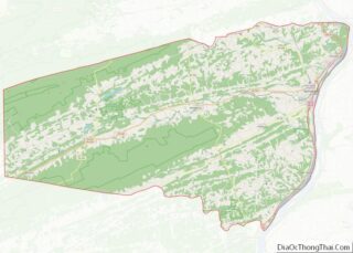
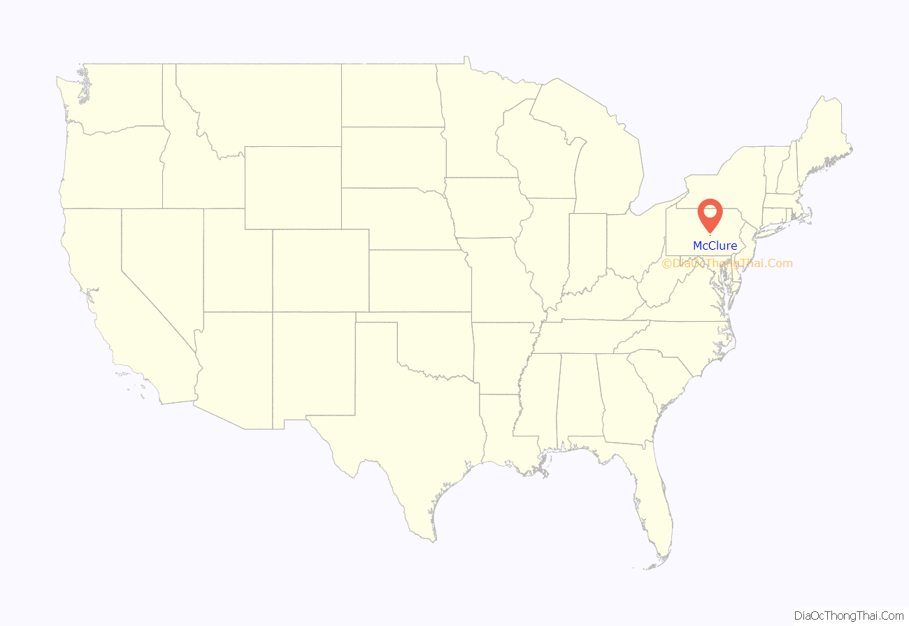
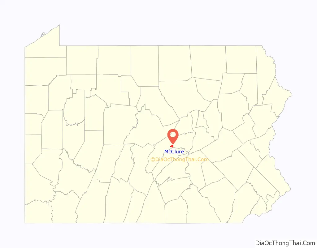
McClure location map. Where is McClure borough?
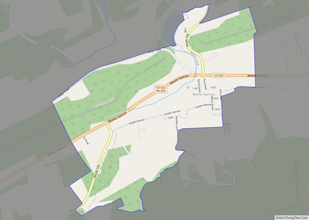
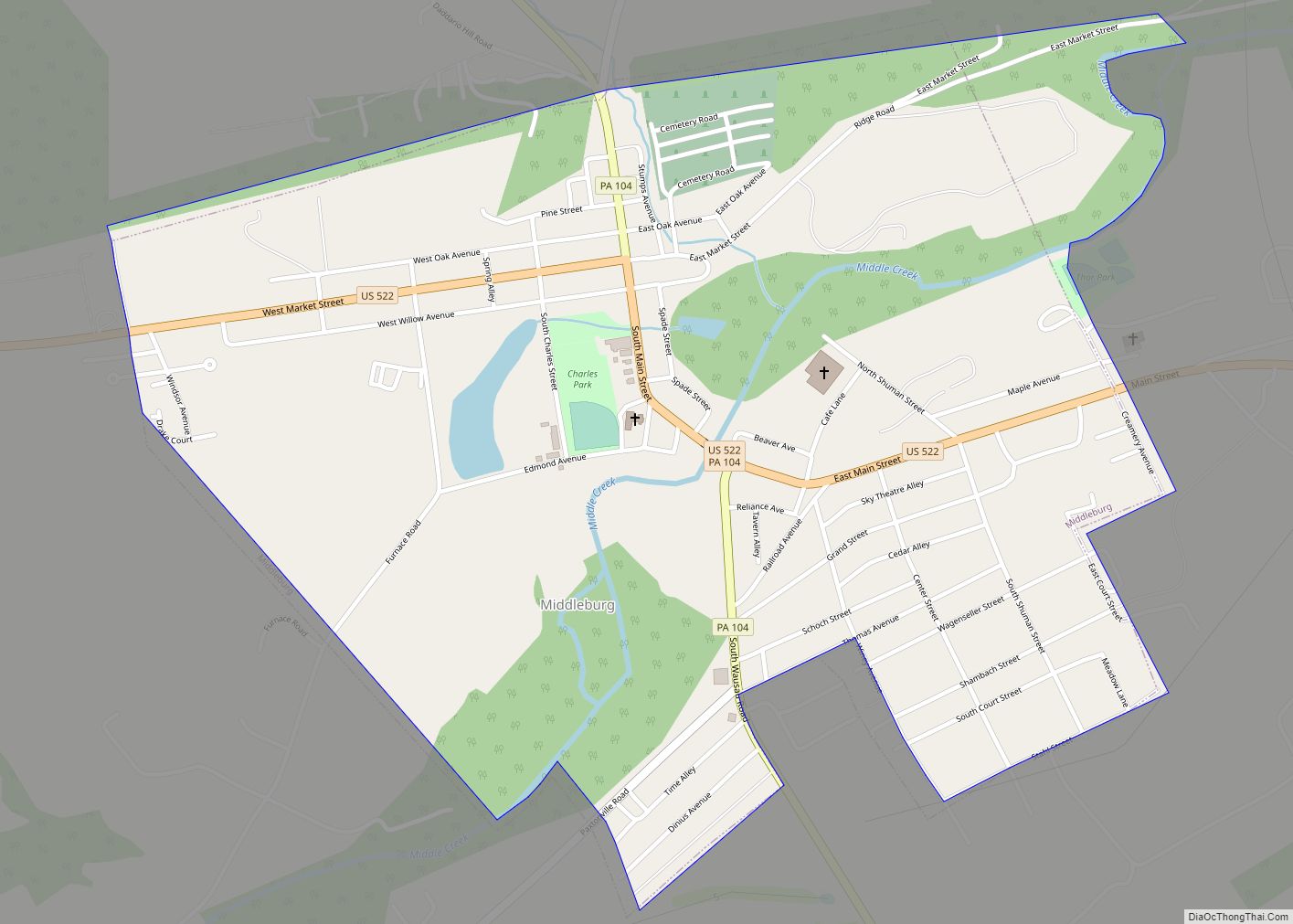
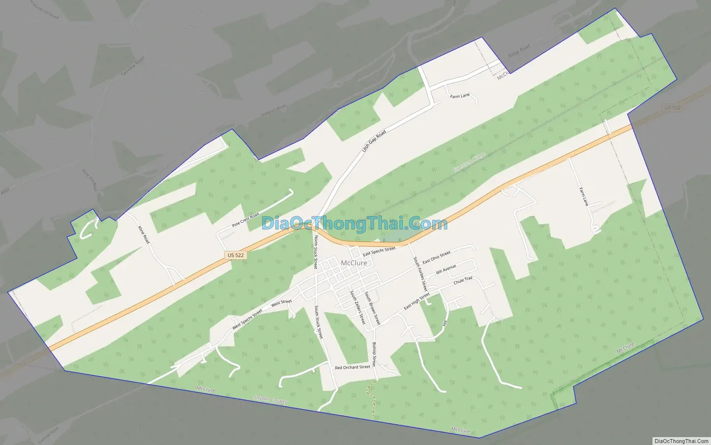
McClure Road Map
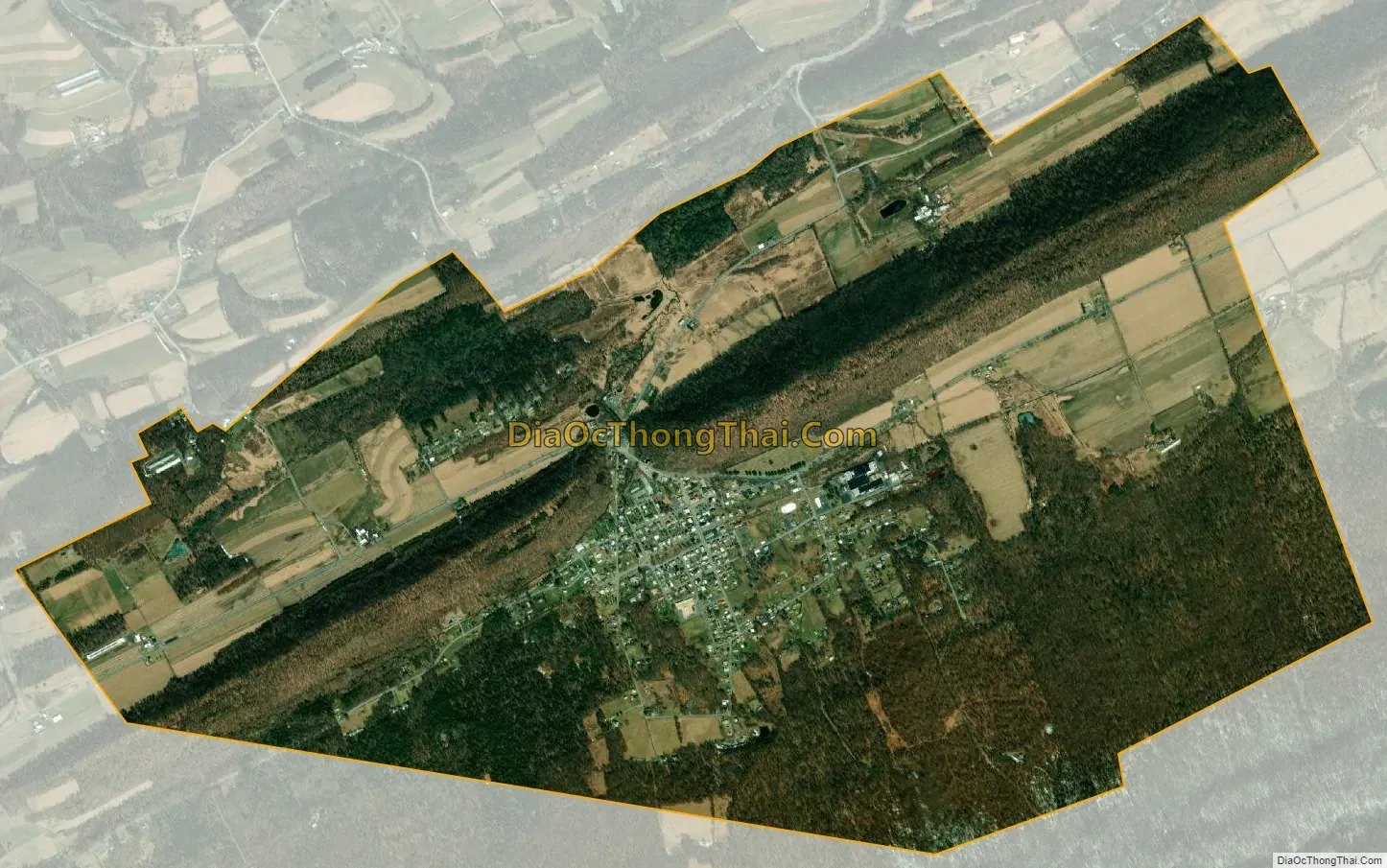
McClure city Satellite Map
Geography
According to the United States Census Bureau, the borough has a total area of 3.7 square miles (9.6 km), all land.
See also
Map of Pennsylvania State and its subdivision:- Adams
- Allegheny
- Armstrong
- Beaver
- Bedford
- Berks
- Blair
- Bradford
- Bucks
- Butler
- Cambria
- Cameron
- Carbon
- Centre
- Chester
- Clarion
- Clearfield
- Clinton
- Columbia
- Crawford
- Cumberland
- Dauphin
- Delaware
- Elk
- Erie
- Fayette
- Forest
- Franklin
- Fulton
- Greene
- Huntingdon
- Indiana
- Jefferson
- Juniata
- Lackawanna
- Lancaster
- Lawrence
- Lebanon
- Lehigh
- Luzerne
- Lycoming
- Mc Kean
- Mercer
- Mifflin
- Monroe
- Montgomery
- Montour
- Northampton
- Northumberland
- Perry
- Philadelphia
- Pike
- Potter
- Schuylkill
- Snyder
- Somerset
- Sullivan
- Susquehanna
- Tioga
- Union
- Venango
- Warren
- Washington
- Wayne
- Westmoreland
- Wyoming
- York
- Alabama
- Alaska
- Arizona
- Arkansas
- California
- Colorado
- Connecticut
- Delaware
- District of Columbia
- Florida
- Georgia
- Hawaii
- Idaho
- Illinois
- Indiana
- Iowa
- Kansas
- Kentucky
- Louisiana
- Maine
- Maryland
- Massachusetts
- Michigan
- Minnesota
- Mississippi
- Missouri
- Montana
- Nebraska
- Nevada
- New Hampshire
- New Jersey
- New Mexico
- New York
- North Carolina
- North Dakota
- Ohio
- Oklahoma
- Oregon
- Pennsylvania
- Rhode Island
- South Carolina
- South Dakota
- Tennessee
- Texas
- Utah
- Vermont
- Virginia
- Washington
- West Virginia
- Wisconsin
- Wyoming