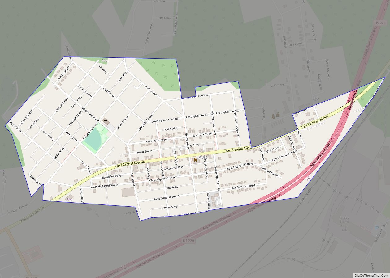
McElhattan is a census-designated place (CDP) in Wayne Township in southern Clinton County, Pennsylvania, United States. As of the 2010 census, the population was 598.
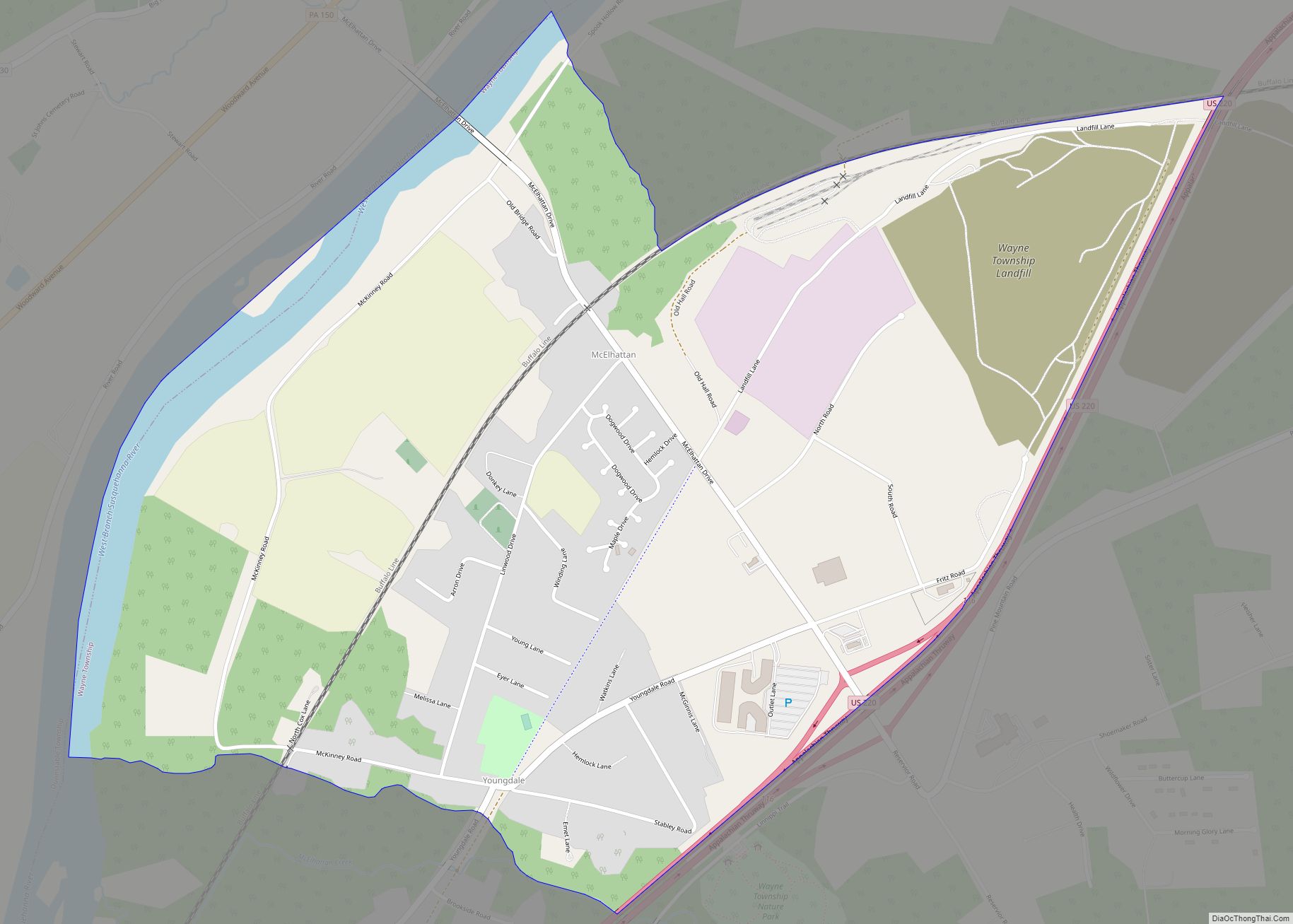
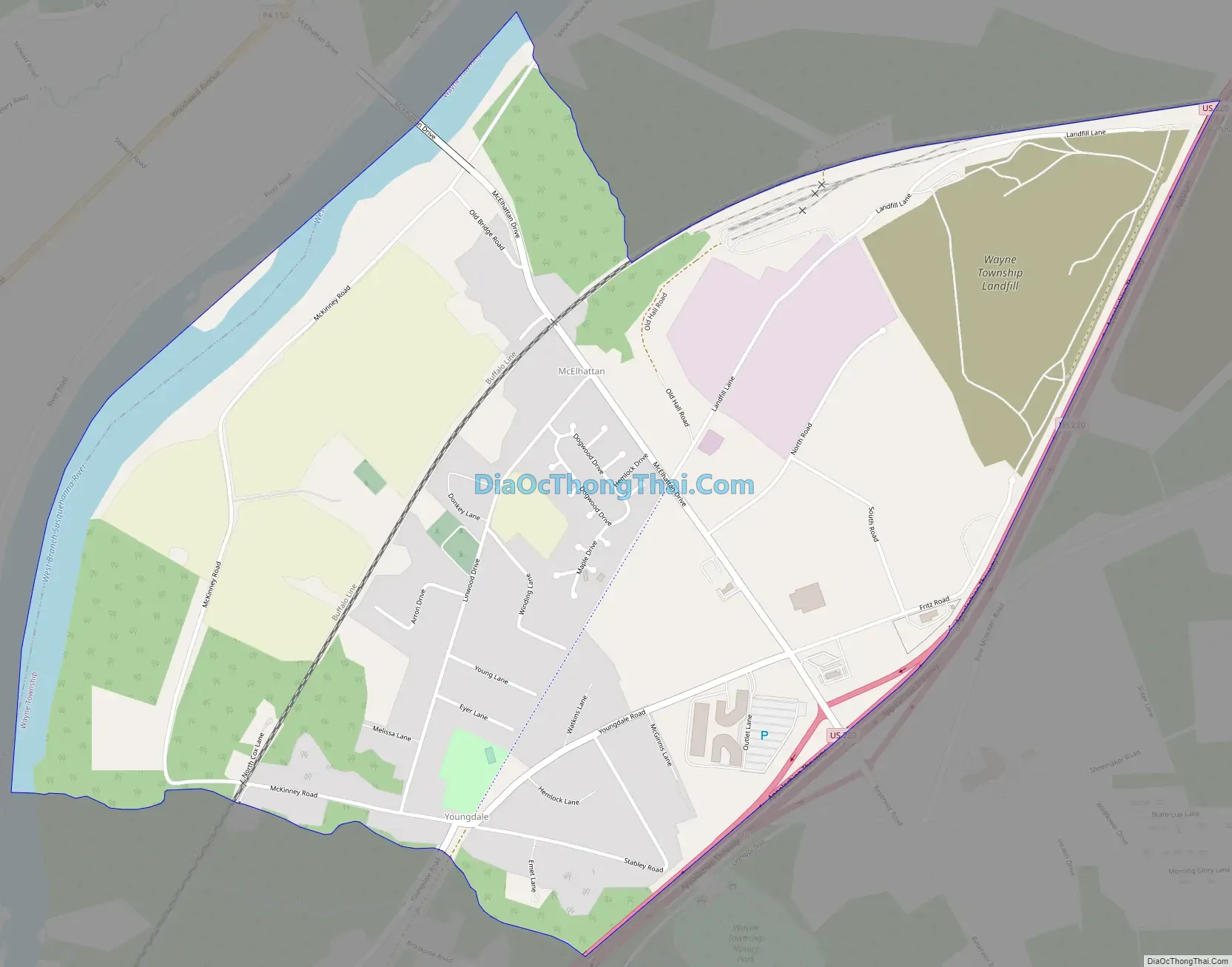
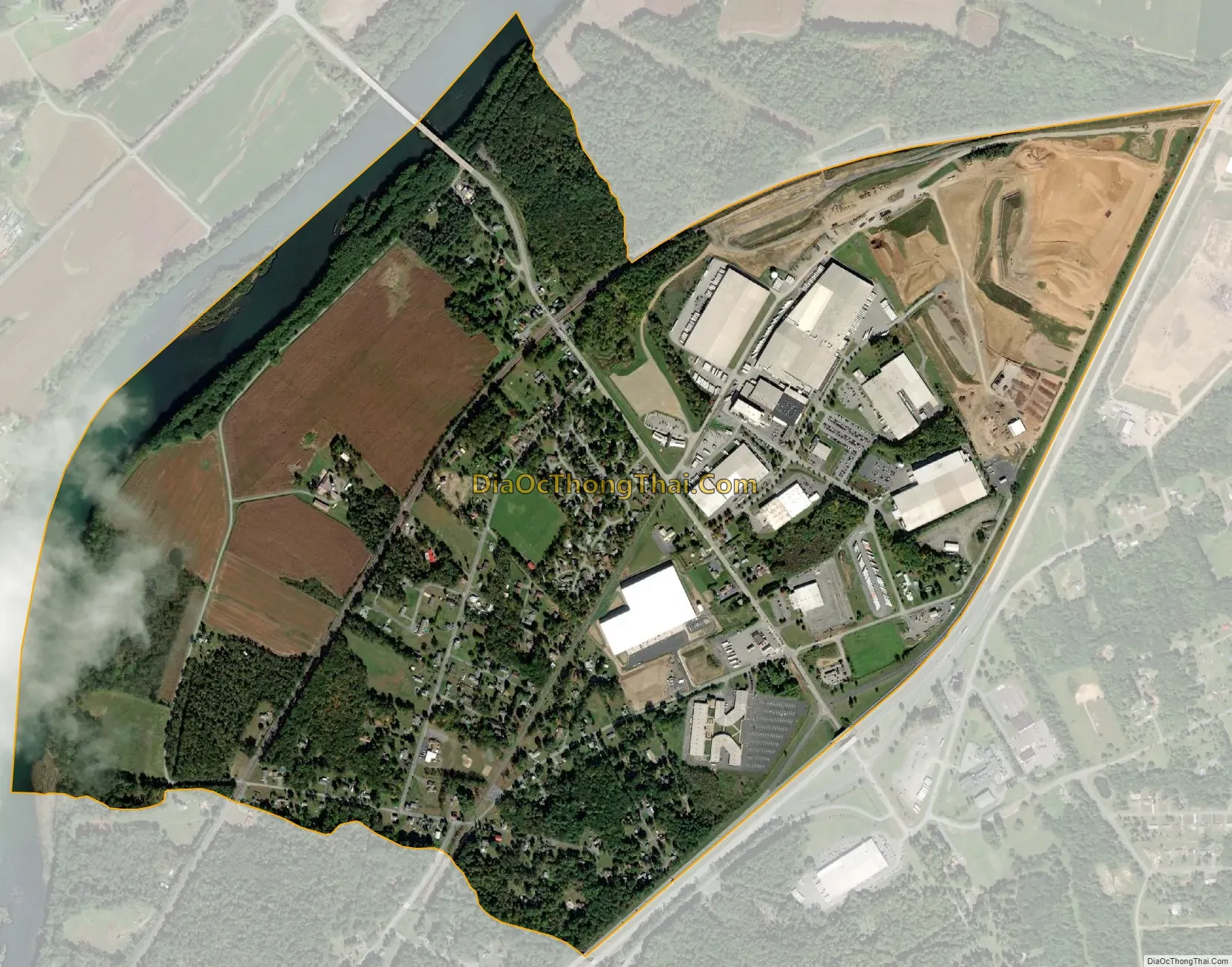
The community is located in eastern Clinton County and is bordered to the northwest by the West Branch of the Susquehanna River and to the southeast by U.S. Route 220, a four-lane freeway. The southwestern part of the CDP includes the area known as Youngdale. US 220 leads west 6 miles (10 km) to the city of Lock Haven, the Clinton County seat, and northeast 7 miles (11 km) to the borough of Jersey Shore. Bridge Road crosses the West Branch, connecting McElhattan with Dunnstable Township to the northwest.
| Name: | McElhattan CDP |
|---|---|
| LSAD Code: | 57 |
| LSAD Description: | CDP (suffix) |
| State: | Pennsylvania |
| County: | Clinton County |
| Elevation: | 577 ft (176 m) |
| Total Area: | 3.48 sq mi (9.02 km²) |
| Land Area: | 3.35 sq mi (8.67 km²) |
| Water Area: | 0.14 sq mi (0.35 km²) |
| Total Population: | 1,224 |
| Population Density: | 365.81/sq mi (141.24/km²) |
| ZIP code: | 17748 |
| FIPS code: | 4246112 |
| GNISfeature ID: | 1180705 |
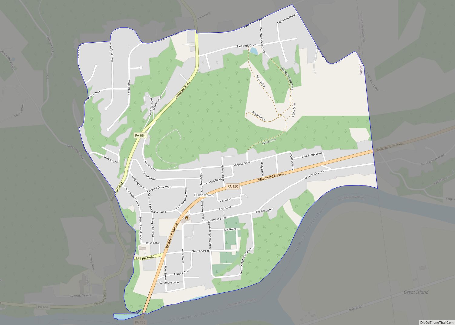
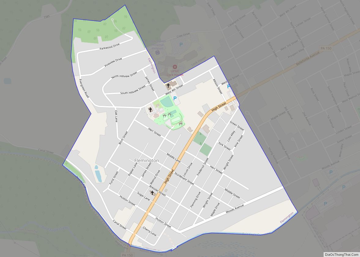
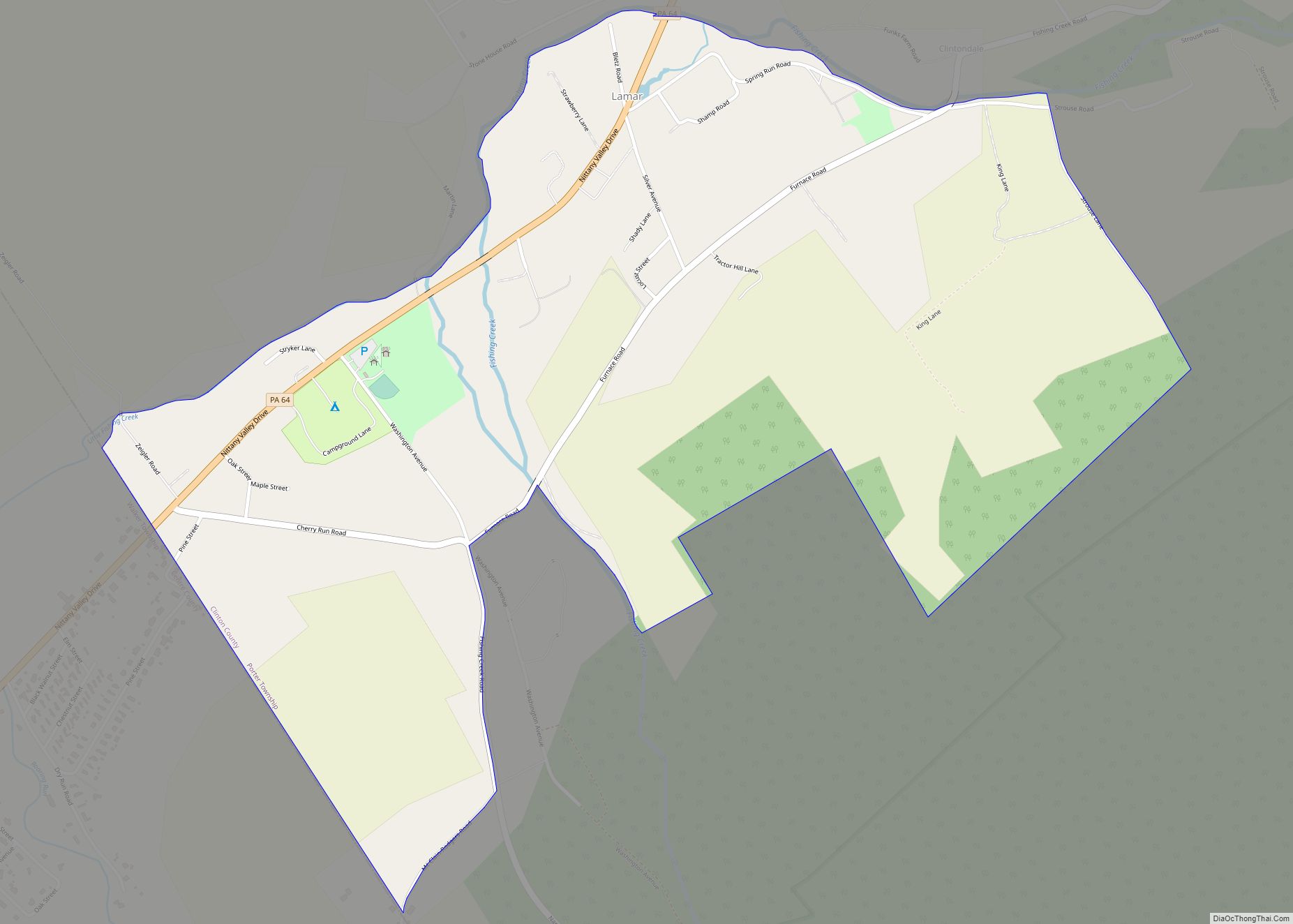
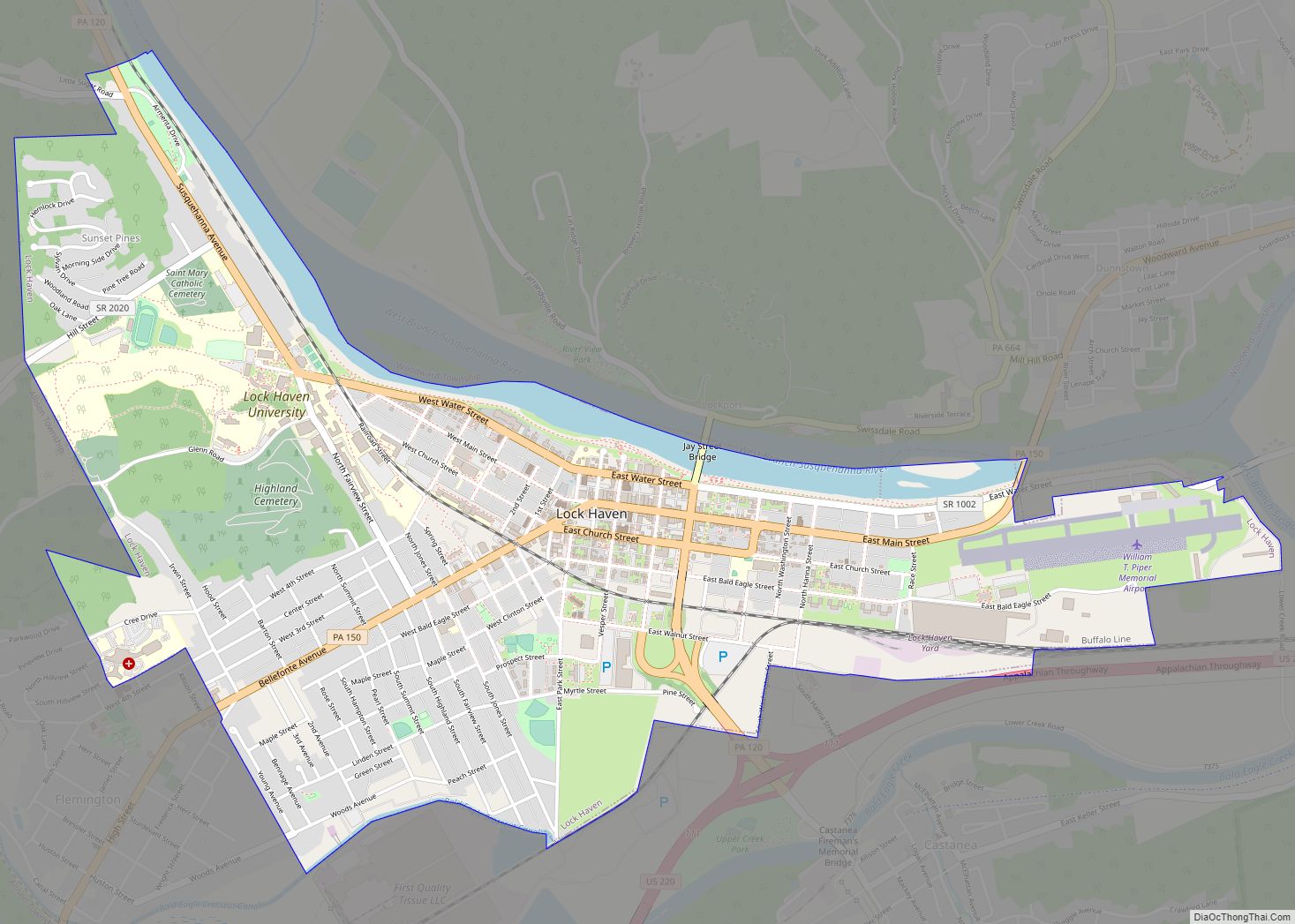
Online Interactive Map
Click on ![]() to view map in "full screen" mode.
to view map in "full screen" mode.
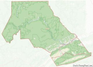
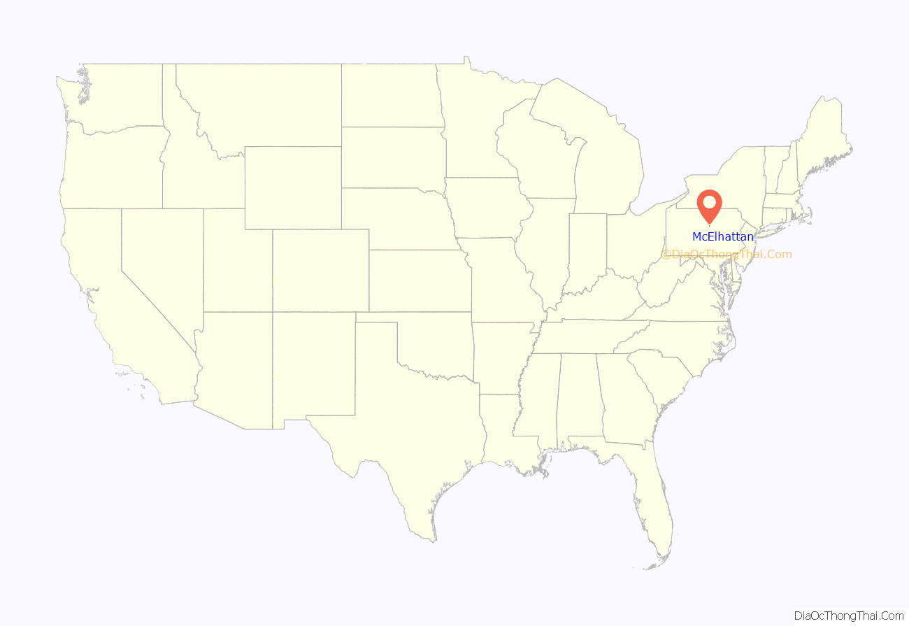
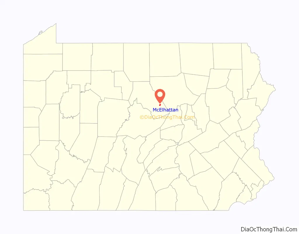
McElhattan location map. Where is McElhattan CDP?
McElhattan Road Map
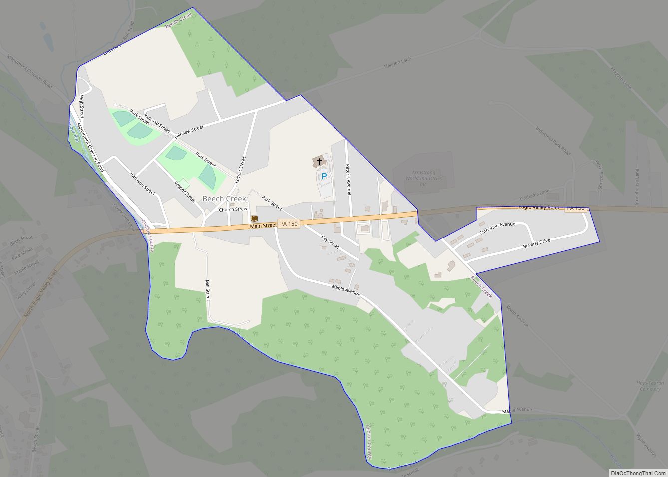
McElhattan city Satellite Map
See also
Map of Pennsylvania State and its subdivision:- Adams
- Allegheny
- Armstrong
- Beaver
- Bedford
- Berks
- Blair
- Bradford
- Bucks
- Butler
- Cambria
- Cameron
- Carbon
- Centre
- Chester
- Clarion
- Clearfield
- Clinton
- Columbia
- Crawford
- Cumberland
- Dauphin
- Delaware
- Elk
- Erie
- Fayette
- Forest
- Franklin
- Fulton
- Greene
- Huntingdon
- Indiana
- Jefferson
- Juniata
- Lackawanna
- Lancaster
- Lawrence
- Lebanon
- Lehigh
- Luzerne
- Lycoming
- Mc Kean
- Mercer
- Mifflin
- Monroe
- Montgomery
- Montour
- Northampton
- Northumberland
- Perry
- Philadelphia
- Pike
- Potter
- Schuylkill
- Snyder
- Somerset
- Sullivan
- Susquehanna
- Tioga
- Union
- Venango
- Warren
- Washington
- Wayne
- Westmoreland
- Wyoming
- York
- Alabama
- Alaska
- Arizona
- Arkansas
- California
- Colorado
- Connecticut
- Delaware
- District of Columbia
- Florida
- Georgia
- Hawaii
- Idaho
- Illinois
- Indiana
- Iowa
- Kansas
- Kentucky
- Louisiana
- Maine
- Maryland
- Massachusetts
- Michigan
- Minnesota
- Mississippi
- Missouri
- Montana
- Nebraska
- Nevada
- New Hampshire
- New Jersey
- New Mexico
- New York
- North Carolina
- North Dakota
- Ohio
- Oklahoma
- Oregon
- Pennsylvania
- Rhode Island
- South Carolina
- South Dakota
- Tennessee
- Texas
- Utah
- Vermont
- Virginia
- Washington
- West Virginia
- Wisconsin
- Wyoming