Mertztown is a census-designated place in Longswamp Township, Berks County, Pennsylvania, United States. It is located near the borough of Topton. As of the 2010 census, the population was 664 residents.
Mertztown is located in Berks County at latitude 40.506 and longitude -75.665 (Mertztown Panoramio Photos.) and its elevation is 466 feet. It appears on the Topton U.S. Geological Survey Map and is in the Eastern time zone (UTC-5).
The former Reading Railroad that runs through the center of Mertztown, is used by Norfolk Southern as the Reading Line, and is a heavily used railroad branch. A branch of the Catasauqua and Fogelsville Railroad once passed through the Farmington and Klines Corner section of Mertztown, but the tracks were torn up years ago.
Mertztown was founded in 1823 by Robert Mertz. The population density is .01% Black, .01% Hispanic or other, and 99.8% white. Atlas Minerals, a major mineral company, is located in Mertztown, moved to the town in 1917, and has been there ever since. The town is down to one grocery store and two hardware stores.
Brandywine Heights Area High School is also located in Mertztown, as is Gateway Christian School. The area code is 610. The Toad Creek runs east through the village from Topton into the Little Lehigh Creek.
Social places in the area would include Mertztown Rod and Gun Club, Rockland Rod And Gun Club, The Inn At Maple Grove, and the Dryville Hotel.
| Name: | Mertztown CDP |
|---|---|
| LSAD Code: | 57 |
| LSAD Description: | CDP (suffix) |
| State: | Pennsylvania |
| County: | Berks County |
| Elevation: | 466 ft (142 m) |
| Total Area: | 1.06 sq mi (2.74 km²) |
| Land Area: | 1.05 sq mi (2.72 km²) |
| Water Area: | 0.00 sq mi (0.01 km²) |
| Total Population: | 600 |
| Population Density: | 570.34/sq mi (220.24/km²) |
| ZIP code: | 19539 |
| Area code: | 610 and 484 |
| FIPS code: | 4248824 |
Online Interactive Map
Click on ![]() to view map in "full screen" mode.
to view map in "full screen" mode.
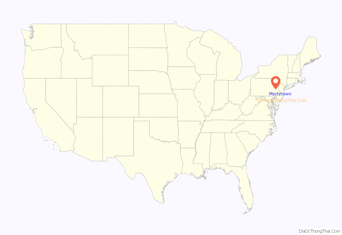
Mertztown location map. Where is Mertztown CDP?
Mertztown Road Map
Mertztown city Satellite Map
See also
Map of Pennsylvania State and its subdivision:- Adams
- Allegheny
- Armstrong
- Beaver
- Bedford
- Berks
- Blair
- Bradford
- Bucks
- Butler
- Cambria
- Cameron
- Carbon
- Centre
- Chester
- Clarion
- Clearfield
- Clinton
- Columbia
- Crawford
- Cumberland
- Dauphin
- Delaware
- Elk
- Erie
- Fayette
- Forest
- Franklin
- Fulton
- Greene
- Huntingdon
- Indiana
- Jefferson
- Juniata
- Lackawanna
- Lancaster
- Lawrence
- Lebanon
- Lehigh
- Luzerne
- Lycoming
- Mc Kean
- Mercer
- Mifflin
- Monroe
- Montgomery
- Montour
- Northampton
- Northumberland
- Perry
- Philadelphia
- Pike
- Potter
- Schuylkill
- Snyder
- Somerset
- Sullivan
- Susquehanna
- Tioga
- Union
- Venango
- Warren
- Washington
- Wayne
- Westmoreland
- Wyoming
- York
- Alabama
- Alaska
- Arizona
- Arkansas
- California
- Colorado
- Connecticut
- Delaware
- District of Columbia
- Florida
- Georgia
- Hawaii
- Idaho
- Illinois
- Indiana
- Iowa
- Kansas
- Kentucky
- Louisiana
- Maine
- Maryland
- Massachusetts
- Michigan
- Minnesota
- Mississippi
- Missouri
- Montana
- Nebraska
- Nevada
- New Hampshire
- New Jersey
- New Mexico
- New York
- North Carolina
- North Dakota
- Ohio
- Oklahoma
- Oregon
- Pennsylvania
- Rhode Island
- South Carolina
- South Dakota
- Tennessee
- Texas
- Utah
- Vermont
- Virginia
- Washington
- West Virginia
- Wisconsin
- Wyoming
