Mill Hall is a borough in Clinton County, Pennsylvania, United States. The population was 1,613 at the 2010 census.
| Name: | Mill Hall borough |
|---|---|
| LSAD Code: | 21 |
| LSAD Description: | borough (suffix) |
| State: | Pennsylvania |
| County: | Clinton County |
| Elevation: | 568 ft (173 m) |
| Total Area: | 0.95 sq mi (2.45 km²) |
| Land Area: | 0.92 sq mi (2.39 km²) |
| Water Area: | 0.03 sq mi (0.07 km²) |
| Total Population: | 1,479 |
| Population Density: | 1,605.86/sq mi (619.85/km²) |
| ZIP code: | 17751 |
| Area code: | 570 and 272 |
| FIPS code: | 4249760 |
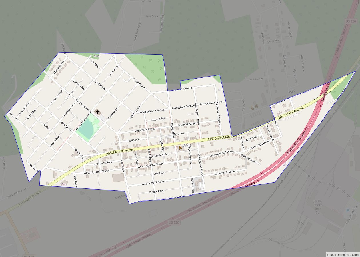
Online Interactive Map
Click on ![]() to view map in "full screen" mode.
to view map in "full screen" mode.
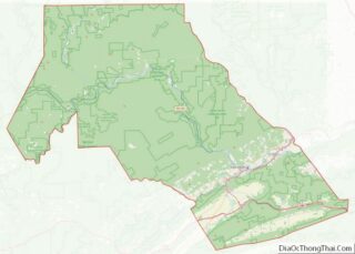
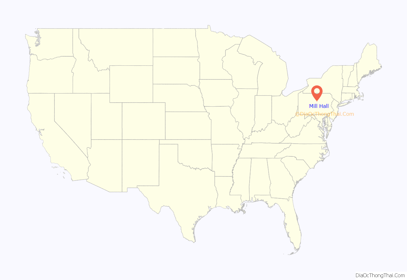
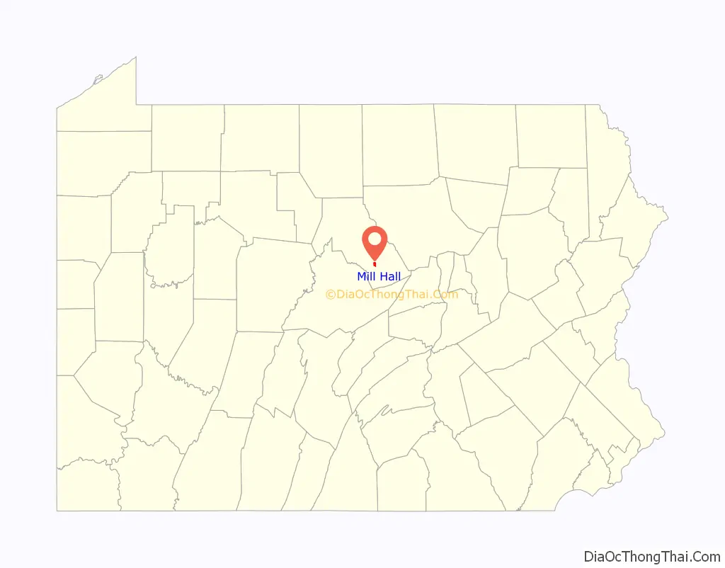
Mill Hall location map. Where is Mill Hall borough?
History
The Nathan Harvey House was listed on the National Register of Historic Places in 1985.
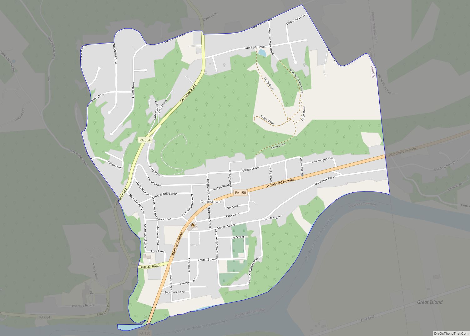
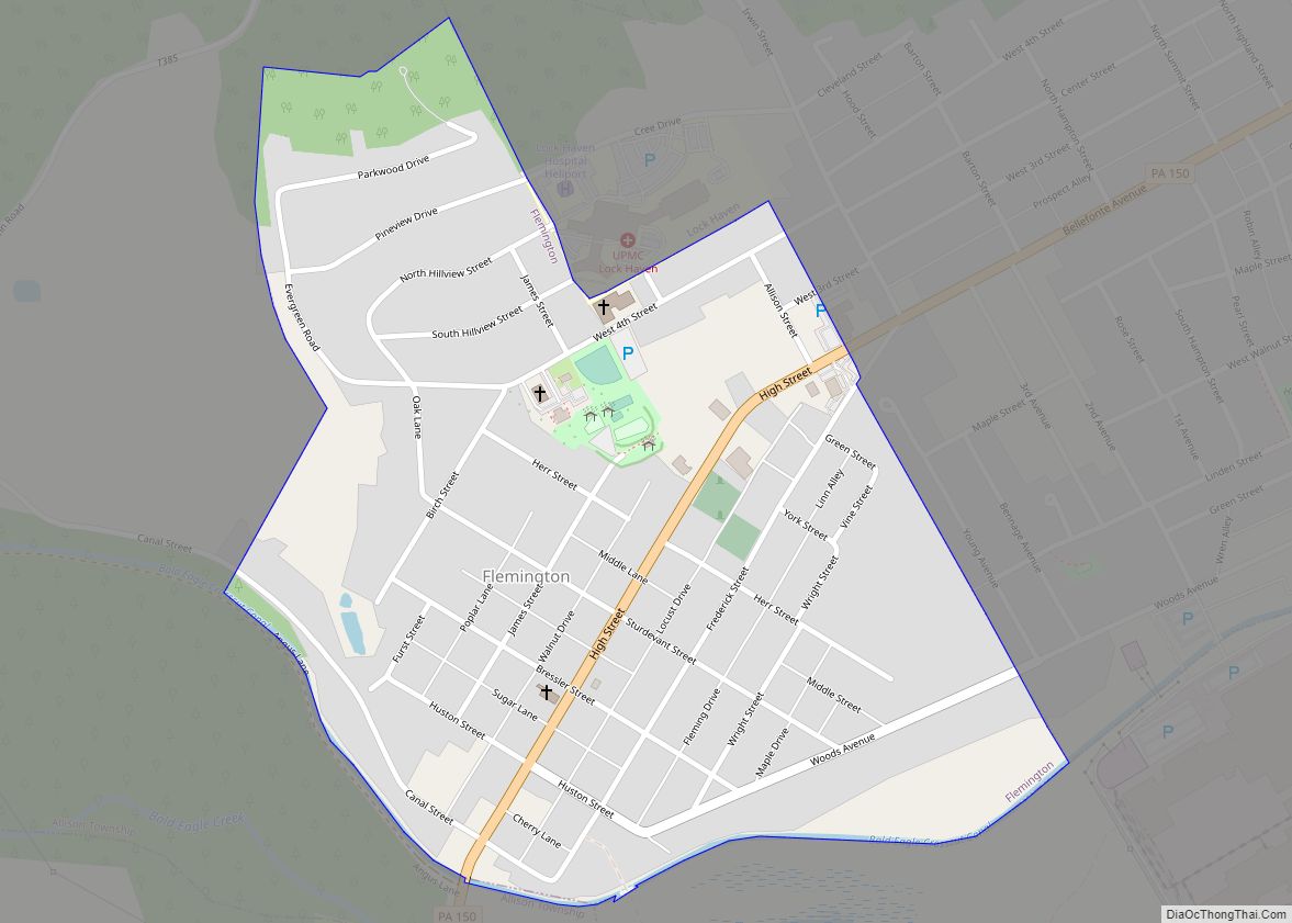
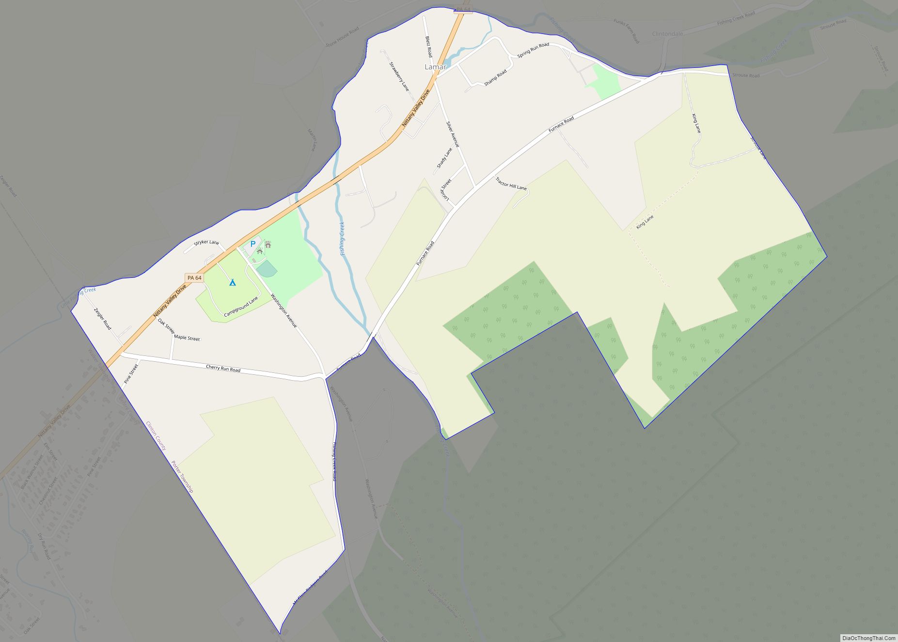
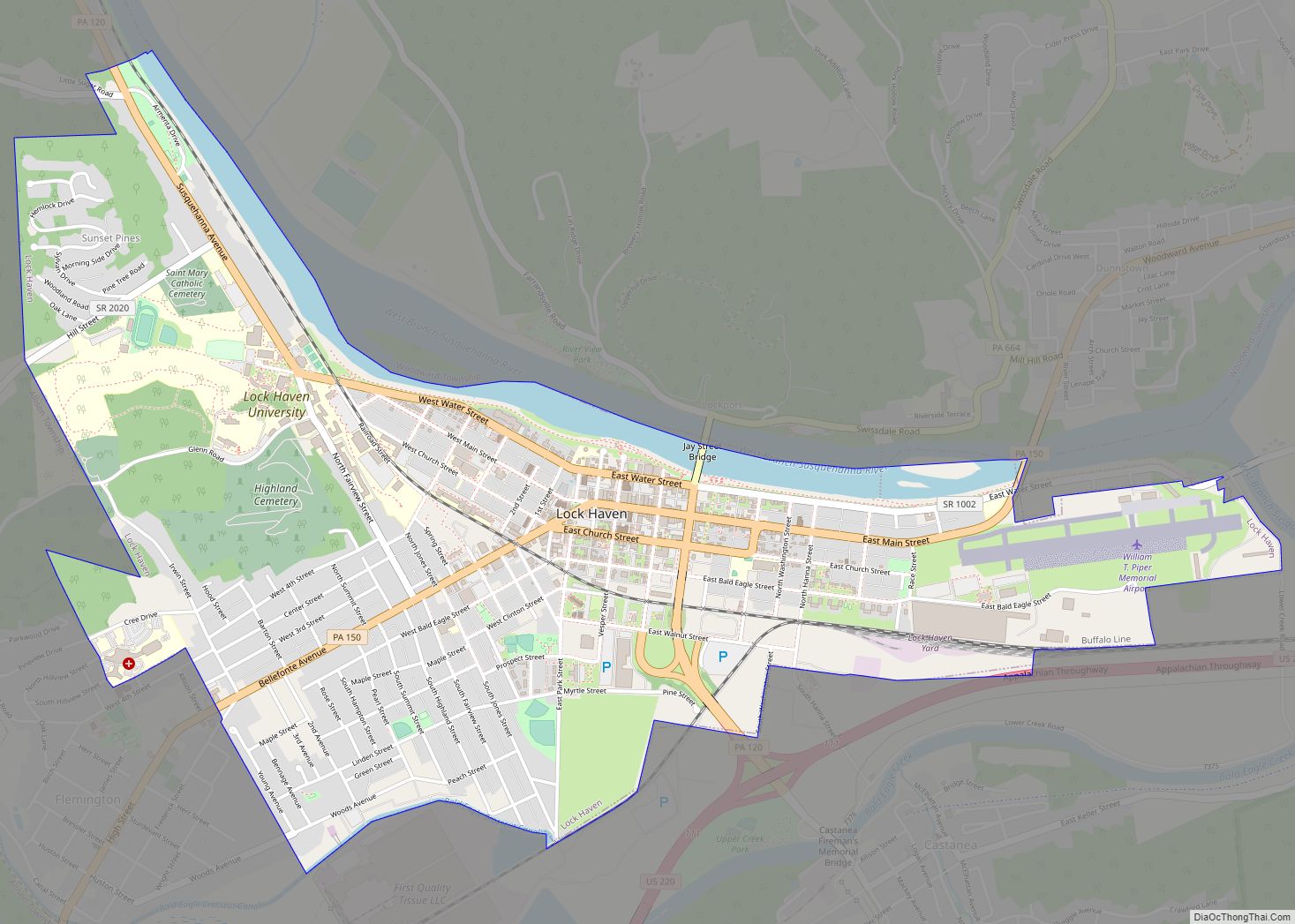
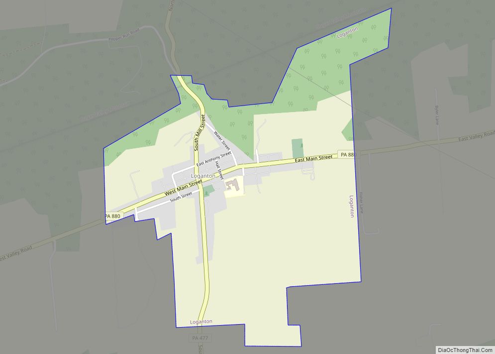
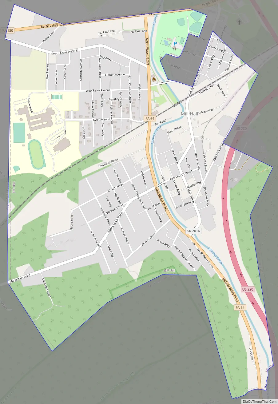
Mill Hall Road Map
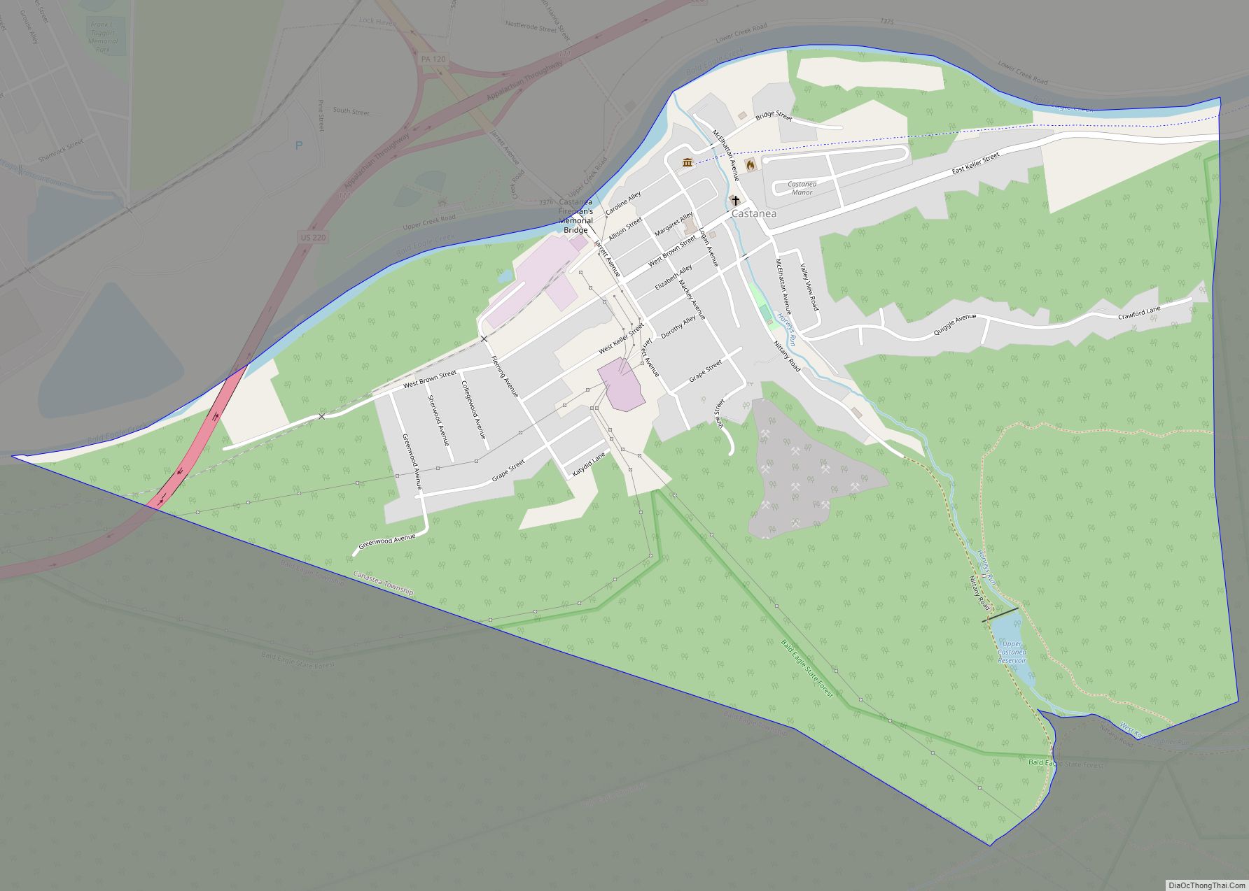
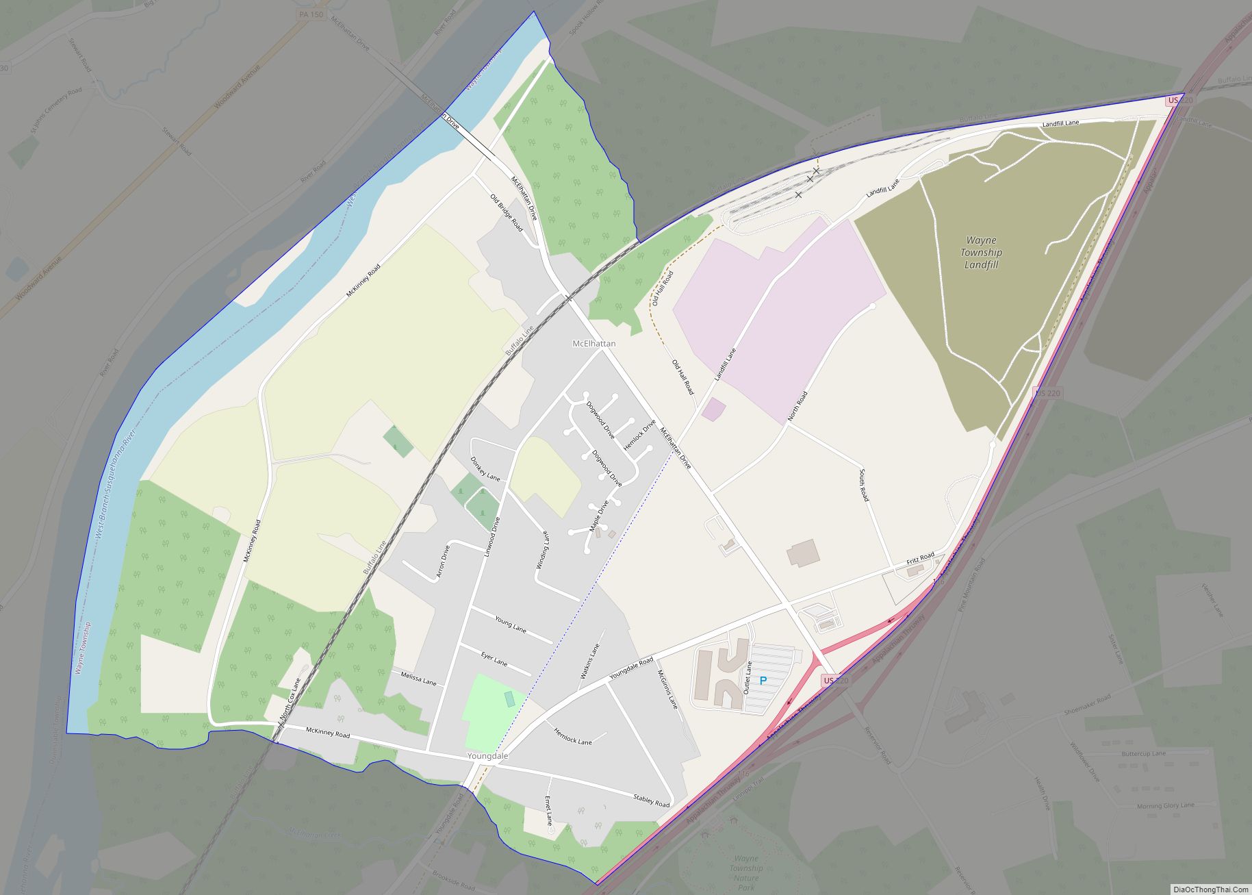
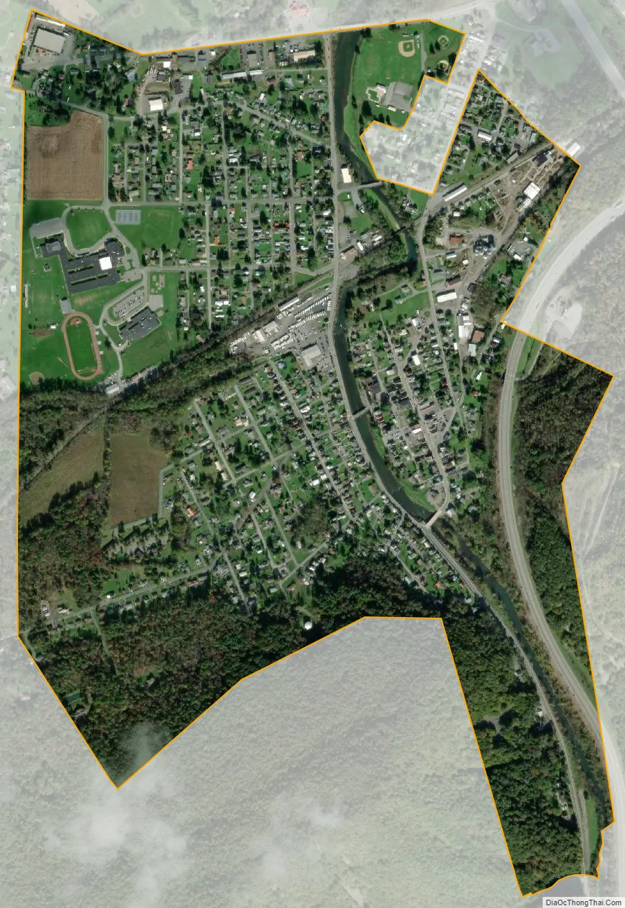
Mill Hall city Satellite Map
Geography
Mill Hall is located in southern Clinton County at 41°6′23″N 77°29′16″W / 41.10639°N 77.48778°W / 41.10639; -77.48778 (41.105359, -77.487804), on both sides of Fishing Creek between its exit from a water gap through Bald Eagle Mountain to the south and its mouth at Bald Eagle Creek to the north.
U.S. Route 220, a four-lane freeway, follows Fishing Creek through the Bald Eagle Mountain water gap and crosses the southeastern corner of Mill Hall, with access from Exit 109. Pennsylvania Route 64 passes through the center of Mill Hall, also leading south through the water gap and ending to the north at Pennsylvania Route 150, which follows the northern boundary of the borough. Via PA 150, it is 3 miles (5 km) northeast to Lock Haven, the Clinton County seat. US 220 leads south 5 miles (8 km) to Interstate 80 Exit 178.
According to the United States Census Bureau, Mill Hall has a total area of 0.95 square miles (2.45 km), of which 0.92 square miles (2.39 km) is land and 0.03 square miles (0.07 km), or 2.80%, is water.
See also
Map of Pennsylvania State and its subdivision:- Adams
- Allegheny
- Armstrong
- Beaver
- Bedford
- Berks
- Blair
- Bradford
- Bucks
- Butler
- Cambria
- Cameron
- Carbon
- Centre
- Chester
- Clarion
- Clearfield
- Clinton
- Columbia
- Crawford
- Cumberland
- Dauphin
- Delaware
- Elk
- Erie
- Fayette
- Forest
- Franklin
- Fulton
- Greene
- Huntingdon
- Indiana
- Jefferson
- Juniata
- Lackawanna
- Lancaster
- Lawrence
- Lebanon
- Lehigh
- Luzerne
- Lycoming
- Mc Kean
- Mercer
- Mifflin
- Monroe
- Montgomery
- Montour
- Northampton
- Northumberland
- Perry
- Philadelphia
- Pike
- Potter
- Schuylkill
- Snyder
- Somerset
- Sullivan
- Susquehanna
- Tioga
- Union
- Venango
- Warren
- Washington
- Wayne
- Westmoreland
- Wyoming
- York
- Alabama
- Alaska
- Arizona
- Arkansas
- California
- Colorado
- Connecticut
- Delaware
- District of Columbia
- Florida
- Georgia
- Hawaii
- Idaho
- Illinois
- Indiana
- Iowa
- Kansas
- Kentucky
- Louisiana
- Maine
- Maryland
- Massachusetts
- Michigan
- Minnesota
- Mississippi
- Missouri
- Montana
- Nebraska
- Nevada
- New Hampshire
- New Jersey
- New Mexico
- New York
- North Carolina
- North Dakota
- Ohio
- Oklahoma
- Oregon
- Pennsylvania
- Rhode Island
- South Carolina
- South Dakota
- Tennessee
- Texas
- Utah
- Vermont
- Virginia
- Washington
- West Virginia
- Wisconsin
- Wyoming