Millbourne /ˈmɪlbərn/ is a borough in Delaware County, Pennsylvania, United States. As of the 2020 census, the population was 1,212. Millbourne borders Philadelphia along Cobbs Creek. The borough was the former site of the Sellers Family’s Millbourne Mills. The name of Millbourne Mills comes from the word Mill and “bourne” meaning creek. Millbourne students attend Upper Darby School District schools. Magisterial courts with presiding jurisdiction for Millbourne are also located in Upper Darby. Millbourne, at over 17,000 people per square mile, is the most densely populated incorporated place in Pennsylvania, and 24th in the entire United States.
| Name: | Millbourne borough |
|---|---|
| LSAD Code: | 21 |
| LSAD Description: | borough (suffix) |
| State: | Pennsylvania |
| County: | Delaware County |
| Founded: | 1909 |
| Elevation: | 128 ft (39 m) |
| Total Area: | 0.07 sq mi (0.19 km²) |
| Land Area: | 0.07 sq mi (0.19 km²) |
| Water Area: | 0.00 sq mi (0.00 km²) |
| Total Population: | 1,212 |
| Population Density: | 16,378.38/sq mi (6,313.42/km²) |
| FIPS code: | 4249504 |
| Website: | www.millbourneborough.org |
Online Interactive Map
Click on ![]() to view map in "full screen" mode.
to view map in "full screen" mode.
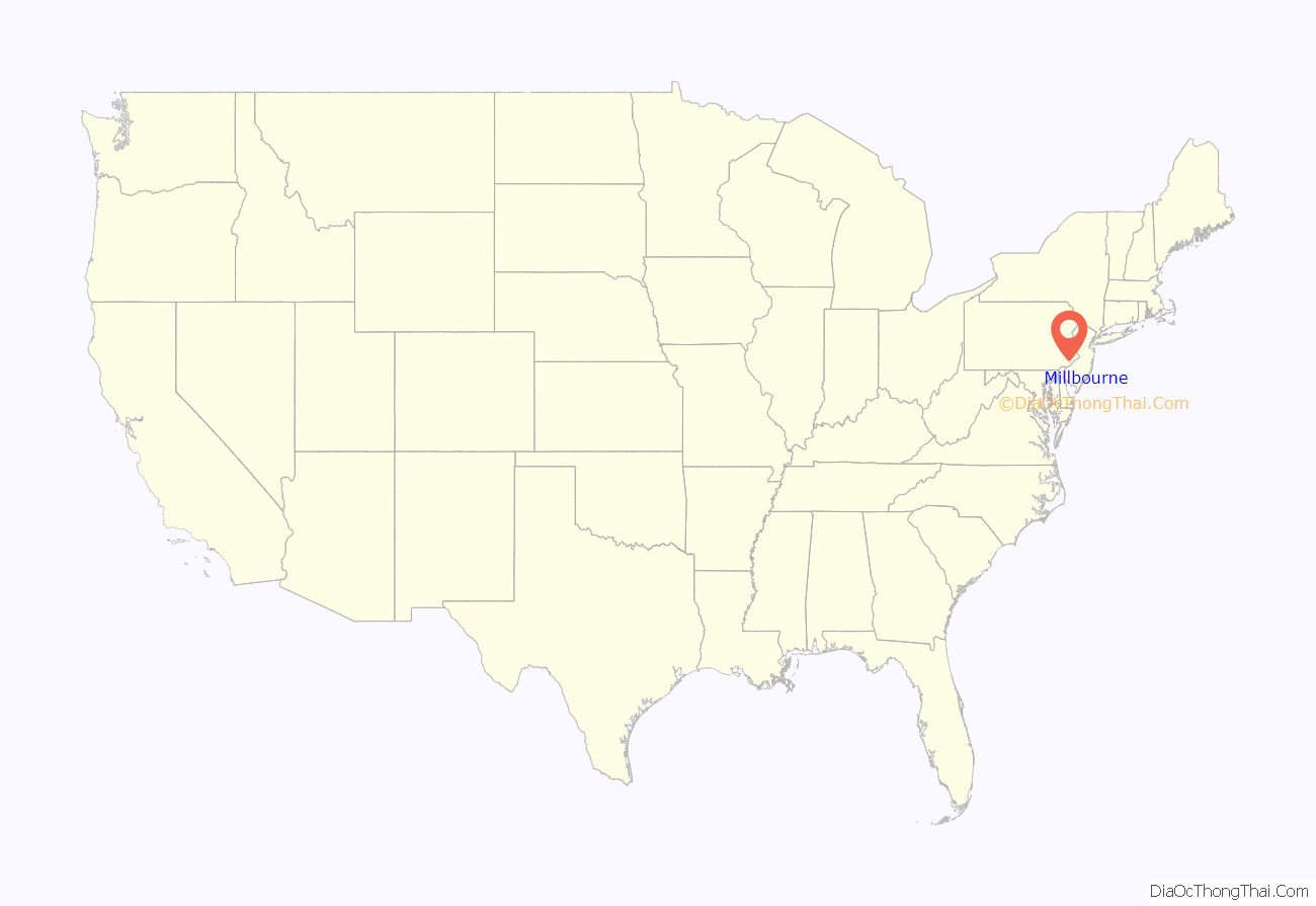
Millbourne location map. Where is Millbourne borough?
History
Millbourne Mills
Millbourne Borough was first occupied by Samuel Sellers. The land was used for living and farming for over half a century. His grandson, John Sellers, purchased plots of land in the borough.
Before Sellers’ death in 1804, he devised his estates to his sons, Nathan, David, John, and George. Sellers devised a plan of grist and saw-mills to his son John, Jr. These mills were built before 1749.
The mills were owned by the elder Sellers and were operated by James Steel. James continued to operate the mill until 1805 when his son, Thomas Steel, took over.
Thomas Steel purchased the Darby Mill in 1814. In that year, Sellers erected an old part of the now Millbourne Mill. John Jr., after learning the trade of a miller with Thomas Steel, took charge of the new mill.
A stream which empties into the Millbourne dam supplying the water to Millbourne Mills, in 1800, was an oil-mill, which continued until 1848. The old gristmill stood above the present mill. In 1820, it was used for grinding gypsum. As late as 1830, Augustus C. Jones was operating the old mill in grinding logwood, spices, etc. It was later discontinued. The new mill, built in 1814, was placed under the charge of John Sellers, Jr., and was fitted with all the improved machinery of that time.
Early 1900s
Between 1906 and 1908 Samuel Shoemaker and John L. Fry saw the possibility of a community in Millbourne. Around 100 residential homes were later built.
In 1907 the Market Street “L” was completed for transportation and on July 1, 1908, the Millbourne Station was officially opened.
On September 21, 1909, Millbourne Fire House was completed. The Millbourne Police Department was also established within the same time period.
On October 12, 1909, Millbourne was separated from Upper Darby Township and was incorporated into a borough. The first council members included John T. Brosnan, Henry A. Shourds, W. H. Lightner, S. F. Wise, L. E. Upham, and E. J. Hawkins.
Sears Roebuck & Co.
Later, a Sears Roebuck & Co. department store was built in 1925 and was located on a plot of land at the northeastern end of Millbourne on what is commonly thought to be a flood plain for Cobbs Creek. The Sears department store, through mercantile tax, provided approximately half of the borough’s revenues. It was relocated to the corner of Walnut Street and 69th Street in Upper Darby in 1988. The vacant building was demolished in 2000. The relocation caused significant financial difficulties for the borough.
Millbourne Road Map
Millbourne city Satellite Map
Geography
Topography
Millbourne Borough is located at 39°57′48″N 75°15′14″W / 39.96333°N 75.25389°W / 39.96333; -75.25389 (39.963735, -75.252615).
According to the United States Census Bureau, the borough has a total area of 0.1 square mile (0.2 km), all land, making it the smallest municipality in Delaware County by area.
The borough is approximately bounded on the north and east by Cobbs Creek, and on the south by Market Street. Across Cobbs Creek to the north lies an extension of Fairmount Park and the Cobbs Creek Golf Course.
Darby Creek is located within southeastern Pennsylvania and flows into the Delaware River. The entire area of the watershed is 78 mi (202.019 km) in which Milbourne is situated. The watershed drains through the John Heinz National Wildlife Refuge and the Delaware River.
Climate
On the Köppen climate classification, Millbourne has a Humid subtropical climate (Cfa). Millbourne has warm-wet summers and very cold-snowy winters. The temperature usually varies from 26 °F to 86 °F and is rarely below 13 °F or above 94 °F.
The hottest month of the year is July with an average high of above 77 °F. The coldest month of the year is January with an average high of below 49 °F.
See also
Map of Pennsylvania State and its subdivision:- Adams
- Allegheny
- Armstrong
- Beaver
- Bedford
- Berks
- Blair
- Bradford
- Bucks
- Butler
- Cambria
- Cameron
- Carbon
- Centre
- Chester
- Clarion
- Clearfield
- Clinton
- Columbia
- Crawford
- Cumberland
- Dauphin
- Delaware
- Elk
- Erie
- Fayette
- Forest
- Franklin
- Fulton
- Greene
- Huntingdon
- Indiana
- Jefferson
- Juniata
- Lackawanna
- Lancaster
- Lawrence
- Lebanon
- Lehigh
- Luzerne
- Lycoming
- Mc Kean
- Mercer
- Mifflin
- Monroe
- Montgomery
- Montour
- Northampton
- Northumberland
- Perry
- Philadelphia
- Pike
- Potter
- Schuylkill
- Snyder
- Somerset
- Sullivan
- Susquehanna
- Tioga
- Union
- Venango
- Warren
- Washington
- Wayne
- Westmoreland
- Wyoming
- York
- Alabama
- Alaska
- Arizona
- Arkansas
- California
- Colorado
- Connecticut
- Delaware
- District of Columbia
- Florida
- Georgia
- Hawaii
- Idaho
- Illinois
- Indiana
- Iowa
- Kansas
- Kentucky
- Louisiana
- Maine
- Maryland
- Massachusetts
- Michigan
- Minnesota
- Mississippi
- Missouri
- Montana
- Nebraska
- Nevada
- New Hampshire
- New Jersey
- New Mexico
- New York
- North Carolina
- North Dakota
- Ohio
- Oklahoma
- Oregon
- Pennsylvania
- Rhode Island
- South Carolina
- South Dakota
- Tennessee
- Texas
- Utah
- Vermont
- Virginia
- Washington
- West Virginia
- Wisconsin
- Wyoming


