Millvale is a borough in Allegheny County, Pennsylvania, United States, along the Allegheny River, opposite Pittsburgh. The borough is located off Pennsylvania Route 28. The population was 3,376 at the 2020 census.
| Name: | Millvale borough |
|---|---|
| LSAD Code: | 21 |
| LSAD Description: | borough (suffix) |
| State: | Pennsylvania |
| County: | Allegheny County |
| Total Area: | 0.68 sq mi (1.75 km²) |
| Land Area: | 0.62 sq mi (1.60 km²) |
| Water Area: | 0.06 sq mi (0.15 km²) |
| Total Population: | 3,376 |
| Population Density: | 5,453.96/sq mi (2,106.58/km²) |
| ZIP code: | 15209 |
| Area code: | 412 |
| FIPS code: | 4249920 |
| Website: | www.millvalepa.com |
Online Interactive Map
Click on ![]() to view map in "full screen" mode.
to view map in "full screen" mode.
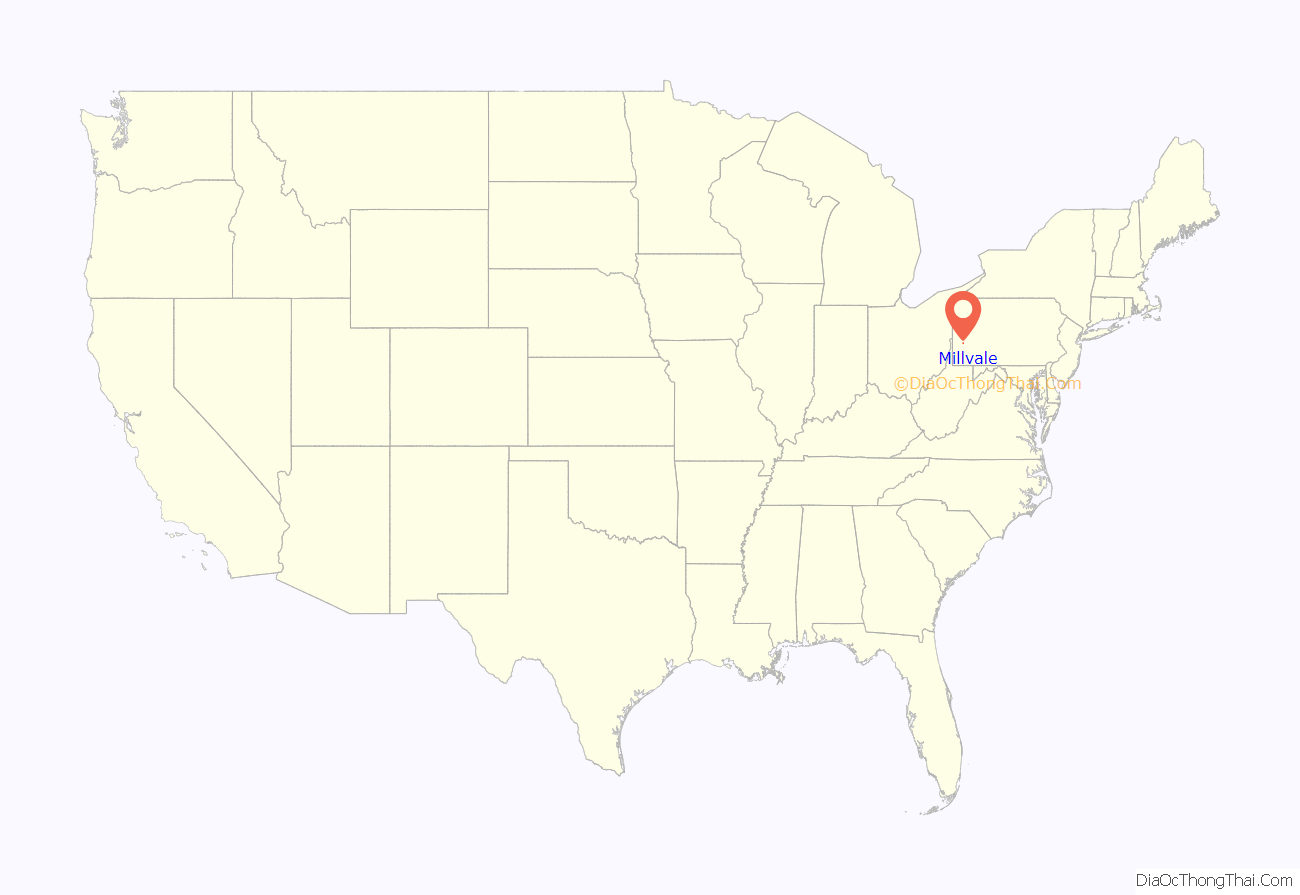
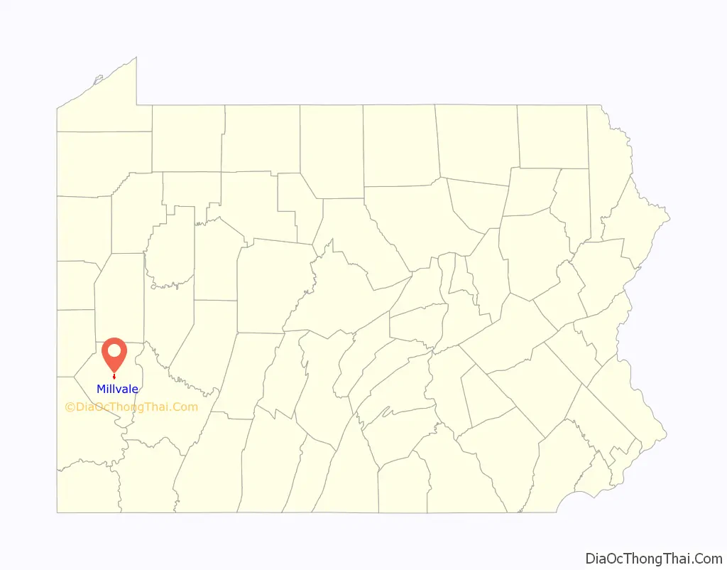
Millvale location map. Where is Millvale borough?
History
Millvale was formed around iron manufacturers, saw works, stone works, lumber mills, breweries, near the mouth of Girtys Run. In 1849, Herrs Island and the adjacent riverfront land of Reserve Township spanning from its northeastern boundary near Girtys Run downriver to Butcher’s Run, the then-northeastern border of Allegheny City, were incorporated as the Borough of Duquesne (distinct from the modern city of the same name). This Duquesne borough was disincorporated in 1868 and partitioned, the downriver portion being annexed to Allegheny City, while that part upriver of the northern end of Herrs Island was joined with adjacent lands to the north and east taken from Shaler Township to form the borough of Millvale.
Until 1952, the borough was served by the “3 Millvale” trolley operated by Pittsburgh Railways.
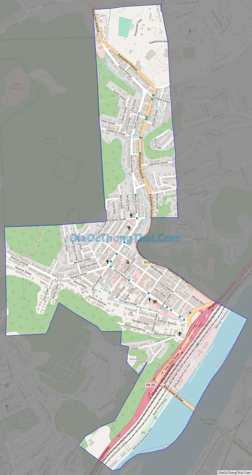
Millvale Road Map
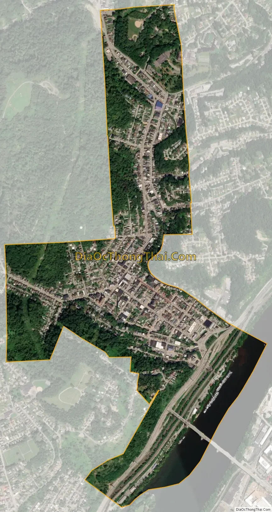
Millvale city Satellite Map
Geography
Millvale is located at 40°28′59″N 79°58′25″W / 40.48306°N 79.97361°W / 40.48306; -79.97361 (40.482968, -79.973725).
According to the U.S. Census Bureau, the borough has a total area of 0.7 square miles (1.8 km), of which 0.6 square miles (1.6 km) is land and 0.1 square miles (0.26 km), or 9.72%, is water.
Millvale is located at the confluence of Girtys Run and the Allegheny River. Much of the borough is on a floodplain and has been subjected to extensive flooding at many times during its history.
See also
Map of Pennsylvania State and its subdivision:- Adams
- Allegheny
- Armstrong
- Beaver
- Bedford
- Berks
- Blair
- Bradford
- Bucks
- Butler
- Cambria
- Cameron
- Carbon
- Centre
- Chester
- Clarion
- Clearfield
- Clinton
- Columbia
- Crawford
- Cumberland
- Dauphin
- Delaware
- Elk
- Erie
- Fayette
- Forest
- Franklin
- Fulton
- Greene
- Huntingdon
- Indiana
- Jefferson
- Juniata
- Lackawanna
- Lancaster
- Lawrence
- Lebanon
- Lehigh
- Luzerne
- Lycoming
- Mc Kean
- Mercer
- Mifflin
- Monroe
- Montgomery
- Montour
- Northampton
- Northumberland
- Perry
- Philadelphia
- Pike
- Potter
- Schuylkill
- Snyder
- Somerset
- Sullivan
- Susquehanna
- Tioga
- Union
- Venango
- Warren
- Washington
- Wayne
- Westmoreland
- Wyoming
- York
- Alabama
- Alaska
- Arizona
- Arkansas
- California
- Colorado
- Connecticut
- Delaware
- District of Columbia
- Florida
- Georgia
- Hawaii
- Idaho
- Illinois
- Indiana
- Iowa
- Kansas
- Kentucky
- Louisiana
- Maine
- Maryland
- Massachusetts
- Michigan
- Minnesota
- Mississippi
- Missouri
- Montana
- Nebraska
- Nevada
- New Hampshire
- New Jersey
- New Mexico
- New York
- North Carolina
- North Dakota
- Ohio
- Oklahoma
- Oregon
- Pennsylvania
- Rhode Island
- South Carolina
- South Dakota
- Tennessee
- Texas
- Utah
- Vermont
- Virginia
- Washington
- West Virginia
- Wisconsin
- Wyoming


