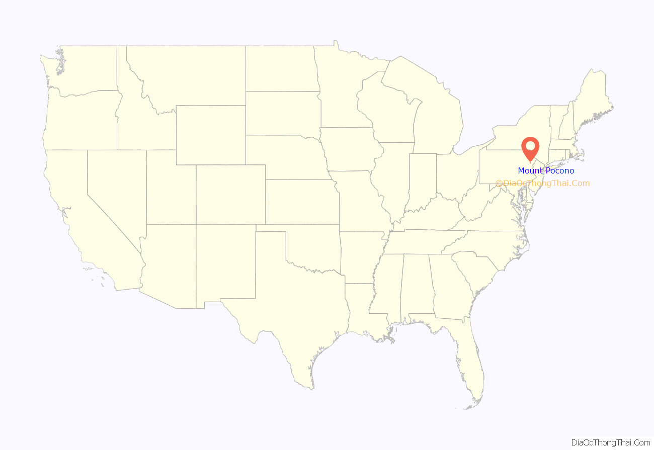
Mount Pocono is a borough in Monroe County, Pennsylvania. It is located nearly centered in the southernmost county of five in the northeastern corner that are part of the Pocono Mountains. The borough serves as a local highway nexus, and sees a lot of tourist traffic making use of resources in the region. As of the 2020 census, the borough population was 3,083 residents.
| Name: | Mount Pocono borough |
|---|---|
| LSAD Code: | 21 |
| LSAD Description: | borough (suffix) |
| State: | Pennsylvania |
| County: | Monroe County |
| Incorporated: | 1927 |
| Elevation: | 1,988 ft (606 m) |
| Total Area: | 3.46 sq mi (8.95 km²) |
| Land Area: | 3.45 sq mi (8.95 km²) |
| Water Area: | 0.00 sq mi (0.01 km²) |
| Total Population: | 3,089 |
| Population Density: | 894.33/sq mi (345.31/km²) |
| ZIP code: | 18344 |
| FIPS code: | 4251912 |
| Website: | mountpocono-pa.gov |
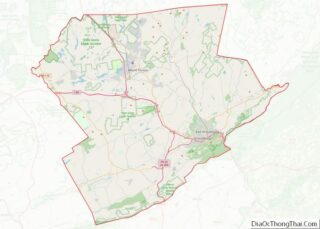
Online Interactive Map
Click on ![]() to view map in "full screen" mode.
to view map in "full screen" mode.
Mount Pocono location map. Where is Mount Pocono borough?
History
Early 19th-century settlers used the area for lumbering. The “New Mount Pocono” post office was established in 1848. The town’s name was changed in 1864 to “Forks”, because of its five-way intersection where Pennsylvania Route 611 and Pennsylvania Route 940 cross and Pennsylvania Route 196 begins. The name was changed again in 1886 to “Mount Pocono”. The Delaware, Lackawanna and Western Railroad provided transportation from New York City and Philadelphia. Mount Pocono quickly developed as a summer resort, advertising clean mountain air, spring water, luxury hotels and excellent fishing.
Initially, the town was part of Coolbaugh Township. In 1927, Mount Pocono borough was incorporated on its own.
The boom times lasted into the mid-20th century. Most of the resort hotels burned or closed, and passenger service to the town ended in 1965.
Mount Airy Lodge in nearby Paradise Township grew into an 895-room mega-resort. In the mid- and late-20th century it was a popular honeymoon destination, famous for its heart-shaped bathtubs. It closed in 2001, and was demolished. Casino gambling in Pennsylvania became legal in 2004. Mount Airy Casino Resort was built on the Mount Airy Lodge’s lakeside site, and opened in 2007.
Resort hotels
- Pine Hill Lodge (1875). Still in business. 11 guest rooms.)
- Pocono Mountain House (1878, burned 1973), 250 guest rooms.
- Princess Poconita Resort (1880). Now Whispering Hills Motel.
- Pocohasset House (demolished 1938), 100 guest rooms.
- Ontwood Resort (c. 1890s, burned 1979), 150 guest rooms.
- Mount Pleasant House (burned 1968), 150 guests.
- Mount Airy Lodge (1898, closed 2001, demolished). At its peak in the 1960s, the hotel had 895 guest rooms.
- Montanesca Hotel (1901, burned 1911), 125 guest rooms.
- The Meadowside (burned 1926).
- Hawthorne Inn (1909, demolished).
- Strickland’s Mountain Inn (c. 1900, demolished 2007). Began as The Elvin, sold to Strickland in 1945.
- Devonshire Pines (1912, demolished), 200 guest rooms.
- The Belmont (burned 1963).
Currently, Mount Pocono serves as the commercial center for the northern part of Monroe County. Stores from national and regional chains such as Lowe’s, Walmart, Weis Markets, and others are in the borough. Local businesses include the Casino Theatre, the Village Trader, the Pioneer Diner. Many businesses are members of the Mount Pocono Association (formerly, the Mount Pocono Business Association).
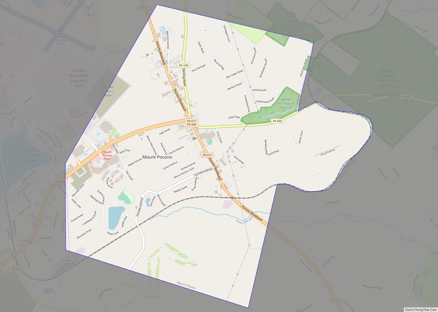
Mount Pocono Road Map
Mount Pocono city Satellite Map
Geography
Mount Pocono is located at 41°7′23″N 75°21′34″W / 41.12306°N 75.35944°W / 41.12306; -75.35944 (41.123012, −75.359574), and is nearly centered in Monroe County—the most southerly and centered county of the five counties containing portions of the Pocono Mountains of Northeastern Pennsylvania. The region’s valleys includes left bank tributaries of the Lehigh River in the southern half, and as the mountain ranges narrow closer to New York, are instead drained by left bank tributaries of the Susquehanna River. To the east, all Poconos ridge lines drain into the Delaware River or right bank tributaries of the Delaware.
According to the U.S. Census Bureau, the borough has a total area of 3.5 square miles (9.0 km), all of it land.
See also
Map of Pennsylvania State and its subdivision:- Adams
- Allegheny
- Armstrong
- Beaver
- Bedford
- Berks
- Blair
- Bradford
- Bucks
- Butler
- Cambria
- Cameron
- Carbon
- Centre
- Chester
- Clarion
- Clearfield
- Clinton
- Columbia
- Crawford
- Cumberland
- Dauphin
- Delaware
- Elk
- Erie
- Fayette
- Forest
- Franklin
- Fulton
- Greene
- Huntingdon
- Indiana
- Jefferson
- Juniata
- Lackawanna
- Lancaster
- Lawrence
- Lebanon
- Lehigh
- Luzerne
- Lycoming
- Mc Kean
- Mercer
- Mifflin
- Monroe
- Montgomery
- Montour
- Northampton
- Northumberland
- Perry
- Philadelphia
- Pike
- Potter
- Schuylkill
- Snyder
- Somerset
- Sullivan
- Susquehanna
- Tioga
- Union
- Venango
- Warren
- Washington
- Wayne
- Westmoreland
- Wyoming
- York
- Alabama
- Alaska
- Arizona
- Arkansas
- California
- Colorado
- Connecticut
- Delaware
- District of Columbia
- Florida
- Georgia
- Hawaii
- Idaho
- Illinois
- Indiana
- Iowa
- Kansas
- Kentucky
- Louisiana
- Maine
- Maryland
- Massachusetts
- Michigan
- Minnesota
- Mississippi
- Missouri
- Montana
- Nebraska
- Nevada
- New Hampshire
- New Jersey
- New Mexico
- New York
- North Carolina
- North Dakota
- Ohio
- Oklahoma
- Oregon
- Pennsylvania
- Rhode Island
- South Carolina
- South Dakota
- Tennessee
- Texas
- Utah
- Vermont
- Virginia
- Washington
- West Virginia
- Wisconsin
- Wyoming
