Mount Wolf is a borough in York County, Pennsylvania, United States. The population was 1,367 at the 2020 census.
| Name: | Mount Wolf borough |
|---|---|
| LSAD Code: | 21 |
| LSAD Description: | borough (suffix) |
| State: | Pennsylvania |
| County: | York County |
| Incorporated: | 1910 |
| Elevation: | 374 ft (114 m) |
| Total Area: | 0.52 sq mi (1.36 km²) |
| Land Area: | 0.52 sq mi (1.36 km²) |
| Water Area: | 0.00 sq mi (0.00 km²) |
| Total Population: | 1,368 |
| Population Density: | 2,610.69/sq mi (1,007.54/km²) |
| Area code: | 717 |
| FIPS code: | 4252056 |
Online Interactive Map
Click on ![]() to view map in "full screen" mode.
to view map in "full screen" mode.
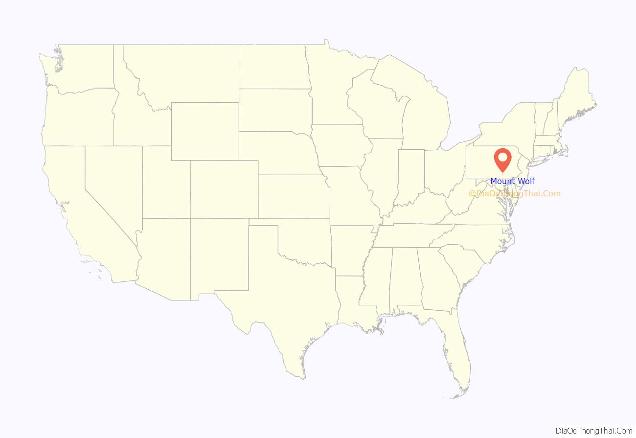
Mount Wolf location map. Where is Mount Wolf borough?
History
In the area later to become Mount Wolf, the earliest recorded land deeds were dated 1746. Around 1850, the York and Cumberland Railroad decided to locate a station between Emigsville, Liverpool (now Manchester) and New Holland (now Saginaw). The station was named Mount Campbell in honor of Thomas Campbell, who was instrumental in urging completion of the railway to Harrisburg. In the late 1850s, the station and post office became known as Mount Wolf in honor of George H. Wolf, who was the stationmaster, postmaster, and owner of a local store and warehouse.
Mount Wolf became incorporated as a self-governing borough on August 23, 1910. A mayor and a six-member council govern it.
In April 2011, the Mount Wolf Centennial Committee received second-place recognition in the 2011 Borough News Municipal Website contest for the population category under 2,500 from the Pennsylvania State Association of Boroughs. In September 2011, the Mount Wolf Centennial Committee received the “Community Award – Government/Civic Organization”, at the annual board meeting of the York County Heritage Trust.
Thomas Westerman Wolf, who was elected Governor of Pennsylvania in 2014, is from Mount Wolf and is a descendant of George H. Wolf.
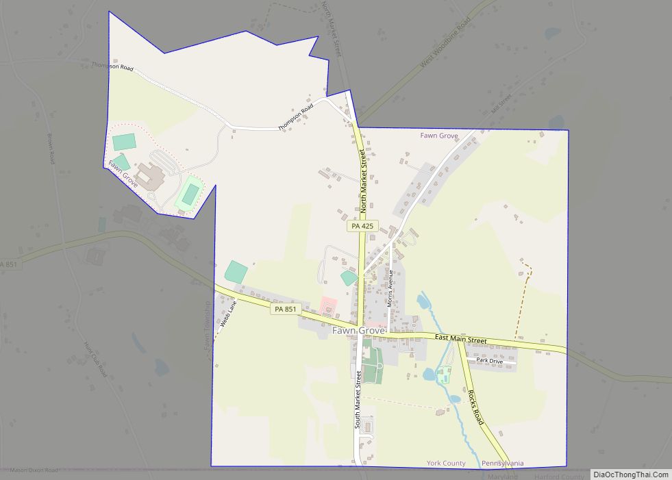
Mount Wolf Road Map
Mount Wolf city Satellite Map
Geography
Mount Wolf is located at 40°3′46″N 76°42′20″W / 40.06278°N 76.70556°W / 40.06278; -76.70556 (40.062794, -76.705587).
According to the United States Census Bureau, the borough has a total area of 0.5 square mile (1.4 km), all land.
See also
Map of Pennsylvania State and its subdivision:- Adams
- Allegheny
- Armstrong
- Beaver
- Bedford
- Berks
- Blair
- Bradford
- Bucks
- Butler
- Cambria
- Cameron
- Carbon
- Centre
- Chester
- Clarion
- Clearfield
- Clinton
- Columbia
- Crawford
- Cumberland
- Dauphin
- Delaware
- Elk
- Erie
- Fayette
- Forest
- Franklin
- Fulton
- Greene
- Huntingdon
- Indiana
- Jefferson
- Juniata
- Lackawanna
- Lancaster
- Lawrence
- Lebanon
- Lehigh
- Luzerne
- Lycoming
- Mc Kean
- Mercer
- Mifflin
- Monroe
- Montgomery
- Montour
- Northampton
- Northumberland
- Perry
- Philadelphia
- Pike
- Potter
- Schuylkill
- Snyder
- Somerset
- Sullivan
- Susquehanna
- Tioga
- Union
- Venango
- Warren
- Washington
- Wayne
- Westmoreland
- Wyoming
- York
- Alabama
- Alaska
- Arizona
- Arkansas
- California
- Colorado
- Connecticut
- Delaware
- District of Columbia
- Florida
- Georgia
- Hawaii
- Idaho
- Illinois
- Indiana
- Iowa
- Kansas
- Kentucky
- Louisiana
- Maine
- Maryland
- Massachusetts
- Michigan
- Minnesota
- Mississippi
- Missouri
- Montana
- Nebraska
- Nevada
- New Hampshire
- New Jersey
- New Mexico
- New York
- North Carolina
- North Dakota
- Ohio
- Oklahoma
- Oregon
- Pennsylvania
- Rhode Island
- South Carolina
- South Dakota
- Tennessee
- Texas
- Utah
- Vermont
- Virginia
- Washington
- West Virginia
- Wisconsin
- Wyoming
