New Alexandria is a borough that is located in Westmoreland County, Pennsylvania, United States. The population was 560 at the time of the 2010 census.
| Name: | New Alexandria borough |
|---|---|
| LSAD Code: | 21 |
| LSAD Description: | borough (suffix) |
| State: | Pennsylvania |
| County: | Westmoreland County |
| Incorporated: | April 10, 1834 |
| Elevation: | 1,096 ft (334 m) |
| Total Area: | 0.85 sq mi (2.19 km²) |
| Land Area: | 0.85 sq mi (2.19 km²) |
| Water Area: | 0.00 sq mi (0.00 km²) |
| Total Population: | 501 |
| Population Density: | 591.50/sq mi (228.36/km²) |
| FIPS code: | 4253160 |
| Website: | www.newalexpa.org |
Online Interactive Map
Click on ![]() to view map in "full screen" mode.
to view map in "full screen" mode.
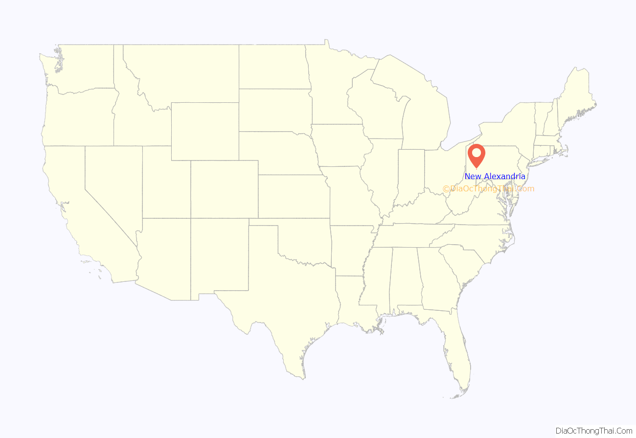
New Alexandria location map. Where is New Alexandria borough?
History
Settled in 1760 along the banks of the Historic Loyalhanna Creek, this community began as a wagon rest stop for travelers, soldiers and militiamen during the American Revolution. New Alexandria was incorporated by an Act of Assembly passed on April 10, 1834.
Formerly known as Denniston’s Town, New Alexandria’s population has not increased greatly over the years.
New Alexandria Road Map
New Alexandria city Satellite Map
Geography
New Alexandria is located at 40°23′50″N 79°25′25″W / 40.39722°N 79.42361°W / 40.39722; -79.42361 (40.397254, -79.423591), along U.S. Route 22 approximately midway between Pittsburgh and Johnstown. It is also located approximately seven miles north of Latrobe.
According to the United States Census Bureau, the borough has a total area of 0.8 square miles (2.1 km), all land.
See also
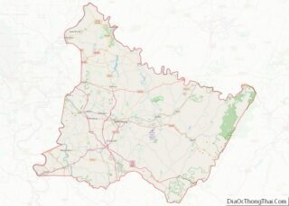
Map of Pennsylvania State and its subdivision:- Adams
- Allegheny
- Armstrong
- Beaver
- Bedford
- Berks
- Blair
- Bradford
- Bucks
- Butler
- Cambria
- Cameron
- Carbon
- Centre
- Chester
- Clarion
- Clearfield
- Clinton
- Columbia
- Crawford
- Cumberland
- Dauphin
- Delaware
- Elk
- Erie
- Fayette
- Forest
- Franklin
- Fulton
- Greene
- Huntingdon
- Indiana
- Jefferson
- Juniata
- Lackawanna
- Lancaster
- Lawrence
- Lebanon
- Lehigh
- Luzerne
- Lycoming
- Mc Kean
- Mercer
- Mifflin
- Monroe
- Montgomery
- Montour
- Northampton
- Northumberland
- Perry
- Philadelphia
- Pike
- Potter
- Schuylkill
- Snyder
- Somerset
- Sullivan
- Susquehanna
- Tioga
- Union
- Venango
- Warren
- Washington
- Wayne
- Westmoreland
- Wyoming
- York
- Alabama
- Alaska
- Arizona
- Arkansas
- California
- Colorado
- Connecticut
- Delaware
- District of Columbia
- Florida
- Georgia
- Hawaii
- Idaho
- Illinois
- Indiana
- Iowa
- Kansas
- Kentucky
- Louisiana
- Maine
- Maryland
- Massachusetts
- Michigan
- Minnesota
- Mississippi
- Missouri
- Montana
- Nebraska
- Nevada
- New Hampshire
- New Jersey
- New Mexico
- New York
- North Carolina
- North Dakota
- Ohio
- Oklahoma
- Oregon
- Pennsylvania
- Rhode Island
- South Carolina
- South Dakota
- Tennessee
- Texas
- Utah
- Vermont
- Virginia
- Washington
- West Virginia
- Wisconsin
- Wyoming
