New Berlin is a borough in Union County, Pennsylvania, United States. The population was 791 at the 2020 census.
| Name: | New Berlin borough |
|---|---|
| LSAD Code: | 21 |
| LSAD Description: | borough (suffix) |
| State: | Pennsylvania |
| County: | Union County |
| Total Area: | 0.40 sq mi (1.03 km²) |
| Land Area: | 0.39 sq mi (1.00 km²) |
| Water Area: | 0.01 sq mi (0.03 km²) |
| Total Population: | 801 |
| Population Density: | 2,064.43/sq mi (797.42/km²) |
| Area code: | 570 |
| FIPS code: | 4253200 |
| Website: | www.newberlinpa.us |
Online Interactive Map
Click on ![]() to view map in "full screen" mode.
to view map in "full screen" mode.
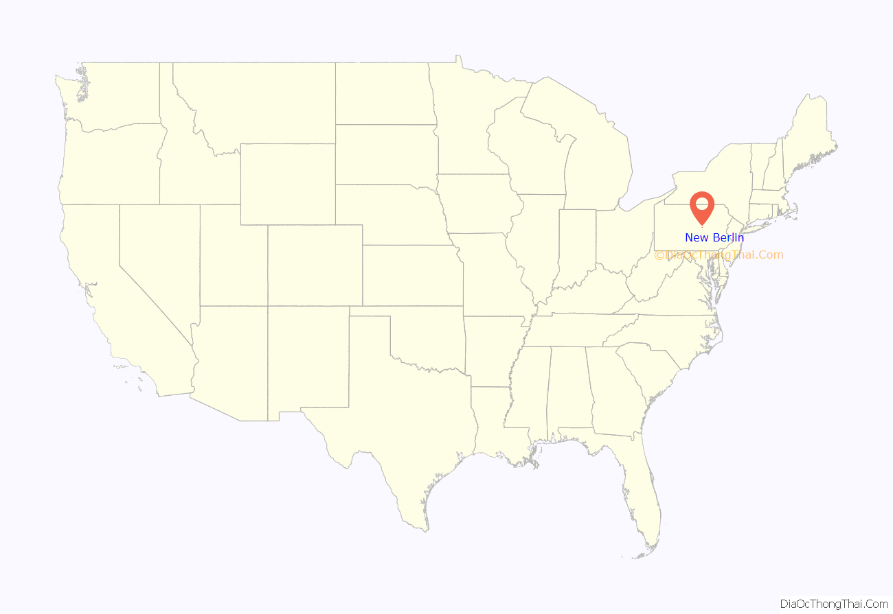
New Berlin location map. Where is New Berlin borough?
History
The New Berlin Presbyterian Church and Old Union County Courthouse are listed on the National Register of Historic Places.
New Berlin Presbyterian Church
Old Union County Courthouse
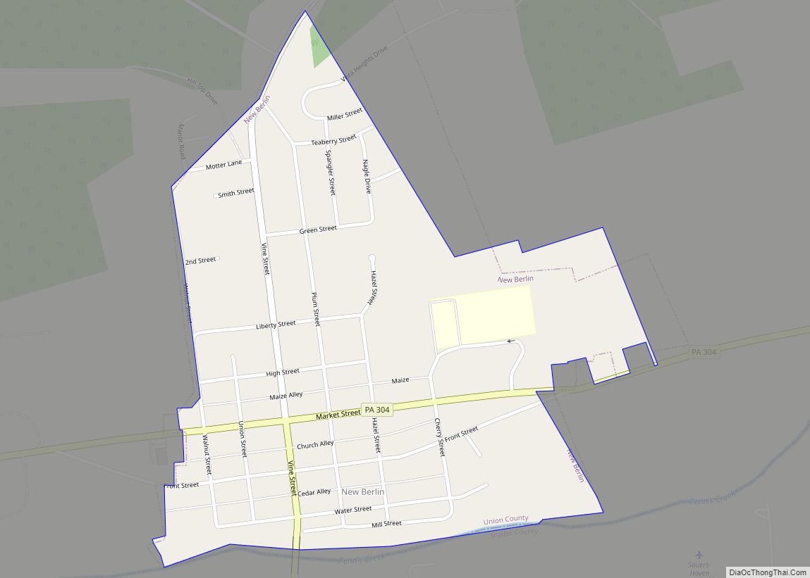
New Berlin Road Map
New Berlin city Satellite Map
Geography
New Berlin is located at 40°52′49″N 76°59′11″W / 40.88028°N 76.98639°W / 40.88028; -76.98639 (40.880416, -76.986268).
According to the United States Census Bureau, the borough has a total area of 0.4 square miles (1.0 km), all land.
The Borough of New Berlin is located in central Pennsylvania, on the southern edge of Union County. It sits along the north side of Penns Creek, where the south bank of said creek is the dividing line between Union and Snyder County. New Berlin is a small borough, with a population of 791 (2020 census). Union County was created from Northumberland County on March 22, 1813, and nearby Mifflinburg was the first county seat (the first courthouse was located at 406 Green Street, with other government offices in various other buildings). New Berlin became the second seat of county government when the first courthouse built specifically for that purpose was completed in 1815. The present day county seat was moved to Lewisburg in 1855. The Old Union County Courthouse still stands on the Town Square and houses the New Berlin Post Office and the Courthouse Museum.
See also
Map of Pennsylvania State and its subdivision:- Adams
- Allegheny
- Armstrong
- Beaver
- Bedford
- Berks
- Blair
- Bradford
- Bucks
- Butler
- Cambria
- Cameron
- Carbon
- Centre
- Chester
- Clarion
- Clearfield
- Clinton
- Columbia
- Crawford
- Cumberland
- Dauphin
- Delaware
- Elk
- Erie
- Fayette
- Forest
- Franklin
- Fulton
- Greene
- Huntingdon
- Indiana
- Jefferson
- Juniata
- Lackawanna
- Lancaster
- Lawrence
- Lebanon
- Lehigh
- Luzerne
- Lycoming
- Mc Kean
- Mercer
- Mifflin
- Monroe
- Montgomery
- Montour
- Northampton
- Northumberland
- Perry
- Philadelphia
- Pike
- Potter
- Schuylkill
- Snyder
- Somerset
- Sullivan
- Susquehanna
- Tioga
- Union
- Venango
- Warren
- Washington
- Wayne
- Westmoreland
- Wyoming
- York
- Alabama
- Alaska
- Arizona
- Arkansas
- California
- Colorado
- Connecticut
- Delaware
- District of Columbia
- Florida
- Georgia
- Hawaii
- Idaho
- Illinois
- Indiana
- Iowa
- Kansas
- Kentucky
- Louisiana
- Maine
- Maryland
- Massachusetts
- Michigan
- Minnesota
- Mississippi
- Missouri
- Montana
- Nebraska
- Nevada
- New Hampshire
- New Jersey
- New Mexico
- New York
- North Carolina
- North Dakota
- Ohio
- Oklahoma
- Oregon
- Pennsylvania
- Rhode Island
- South Carolina
- South Dakota
- Tennessee
- Texas
- Utah
- Vermont
- Virginia
- Washington
- West Virginia
- Wisconsin
- Wyoming
