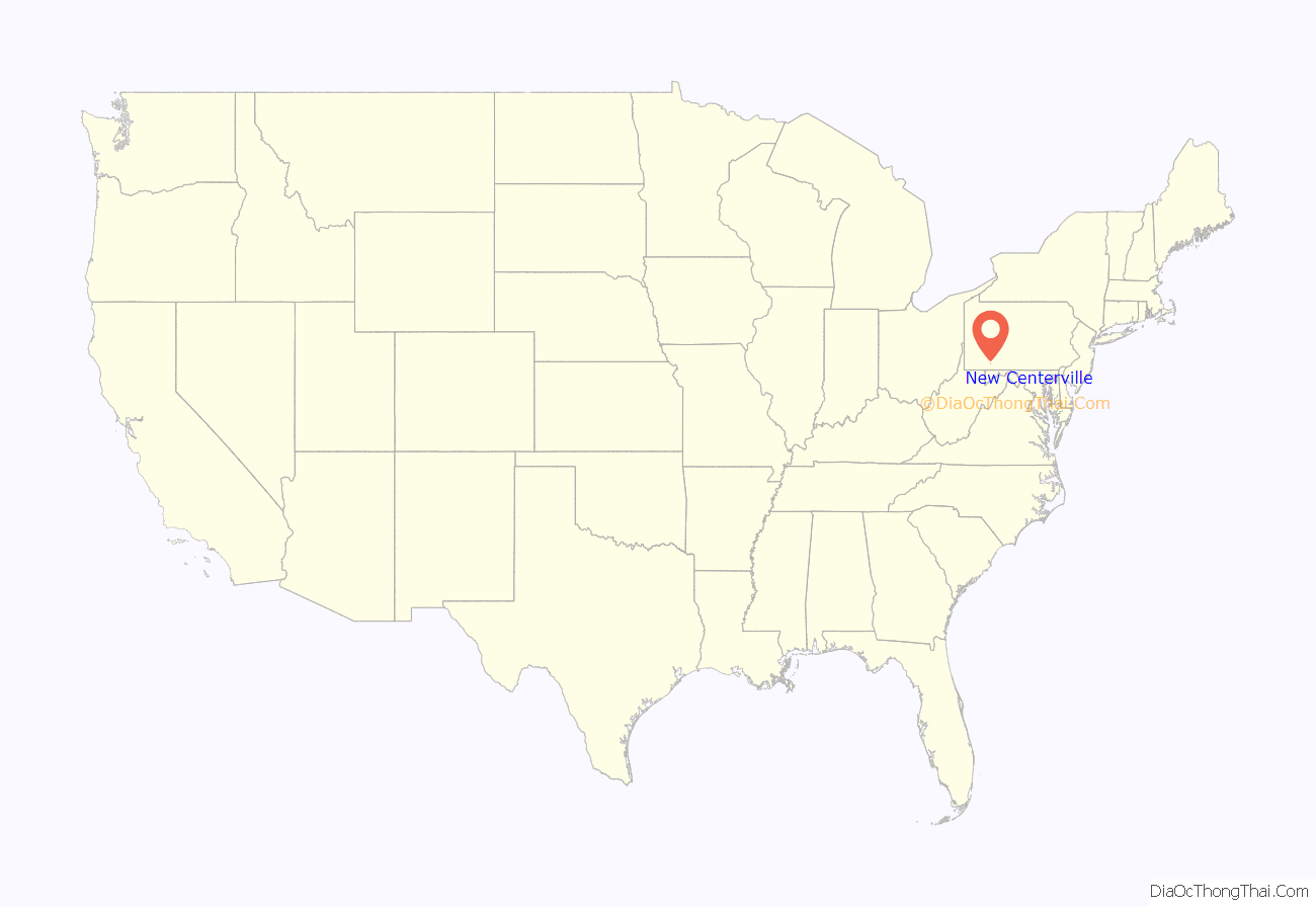
New Centerville is a borough in Somerset County, Pennsylvania, United States. The population was 127 at the 2020 census. It is part of the Johnstown, Pennsylvania, Metropolitan Statistical Area. It should not be confused with the unincorporated village of New Centerville in Tredyffrin Township.
| Name: | New Centerville borough |
|---|---|
| LSAD Code: | 21 |
| LSAD Description: | borough (suffix) |
| State: | Pennsylvania |
| County: | Somerset County |
| Incorporated: | March 6, 1854 |
| Total Area: | 0.14 sq mi (0.37 km²) |
| Land Area: | 0.14 sq mi (0.37 km²) |
| Water Area: | 0.00 sq mi (0.00 km²) |
| Total Population: | 128 |
| Population Density: | 901.41/sq mi (347.58/km²) |
| Area code: | 814 |
| FIPS code: | 4253416 |
Online Interactive Map
Click on ![]() to view map in "full screen" mode.
to view map in "full screen" mode.
New Centerville location map. Where is New Centerville borough?
History
A schoolhouse was built in what is now New Centerville about 1800, and Jacob Weimer taught there for several years. A church was built about 1813 and was shared by the Lutherans and the Presbyterians, and the Methodists built one about 1850. Michael Freeze arrived in the vicinity of New Centerville in 1830 and laid out the town in 1834. A tannery was built around 1840 by Josiah Miller. New Centerville was incorporated as a borough on March 6, 1854.
New Centerville Road Map
New Centerville city Satellite Map
Geography
New Centerville is located at 39°56′30″N 79°11′31″W / 39.94167°N 79.19194°W / 39.94167; -79.19194 (39.941712, -79.192047) and is surrounded by Milford Township. According to the United States Census Bureau, the borough has a total area of 0.3 square miles (0.78 km), all land. Pennsylvania Route 281 and Pennsylvania Route 653 both pass through New Centerville. From New Lexington to New Centerville, they form a concurrency; in New Centerville, Route 653 splits off and runs southeastward to the borough of Rockwood while Route 281 continues northeast to the borough of Somerset.
See also
Map of Pennsylvania State and its subdivision:- Adams
- Allegheny
- Armstrong
- Beaver
- Bedford
- Berks
- Blair
- Bradford
- Bucks
- Butler
- Cambria
- Cameron
- Carbon
- Centre
- Chester
- Clarion
- Clearfield
- Clinton
- Columbia
- Crawford
- Cumberland
- Dauphin
- Delaware
- Elk
- Erie
- Fayette
- Forest
- Franklin
- Fulton
- Greene
- Huntingdon
- Indiana
- Jefferson
- Juniata
- Lackawanna
- Lancaster
- Lawrence
- Lebanon
- Lehigh
- Luzerne
- Lycoming
- Mc Kean
- Mercer
- Mifflin
- Monroe
- Montgomery
- Montour
- Northampton
- Northumberland
- Perry
- Philadelphia
- Pike
- Potter
- Schuylkill
- Snyder
- Somerset
- Sullivan
- Susquehanna
- Tioga
- Union
- Venango
- Warren
- Washington
- Wayne
- Westmoreland
- Wyoming
- York
- Alabama
- Alaska
- Arizona
- Arkansas
- California
- Colorado
- Connecticut
- Delaware
- District of Columbia
- Florida
- Georgia
- Hawaii
- Idaho
- Illinois
- Indiana
- Iowa
- Kansas
- Kentucky
- Louisiana
- Maine
- Maryland
- Massachusetts
- Michigan
- Minnesota
- Mississippi
- Missouri
- Montana
- Nebraska
- Nevada
- New Hampshire
- New Jersey
- New Mexico
- New York
- North Carolina
- North Dakota
- Ohio
- Oklahoma
- Oregon
- Pennsylvania
- Rhode Island
- South Carolina
- South Dakota
- Tennessee
- Texas
- Utah
- Vermont
- Virginia
- Washington
- West Virginia
- Wisconsin
- Wyoming
