New Cumberland is a borough in easternmost Cumberland County, Pennsylvania, United States. New Cumberland was incorporated on March 21, 1831. The population was 7,277 at the 2010 census. The borough is noted for its historic downtown which includes landmarks like the historic West Shore Theater, Borough park, the yearly Apple Festival, which gathers hundreds of vendors and thousands of visitors.
New Cumberland is part of the Harrisburg–Carlisle metropolitan statistical area.
| Name: | New Cumberland borough |
|---|---|
| LSAD Code: | 21 |
| LSAD Description: | borough (suffix) |
| State: | Pennsylvania |
| County: | Cumberland County |
| Elevation: | 364 ft (111 m) |
| Total Area: | 1.69 sq mi (4.36 km²) |
| Land Area: | 1.68 sq mi (4.34 km²) |
| Water Area: | 0.01 sq mi (0.03 km²) |
| Total Population: | 7,507 |
| Population Density: | 4,481.79/sq mi (1,730.79/km²) |
| ZIP code: | 17070 |
| Area code: | 717 |
| FIPS code: | 4253464 |
| Website: | www.newcumberlandborough.com |
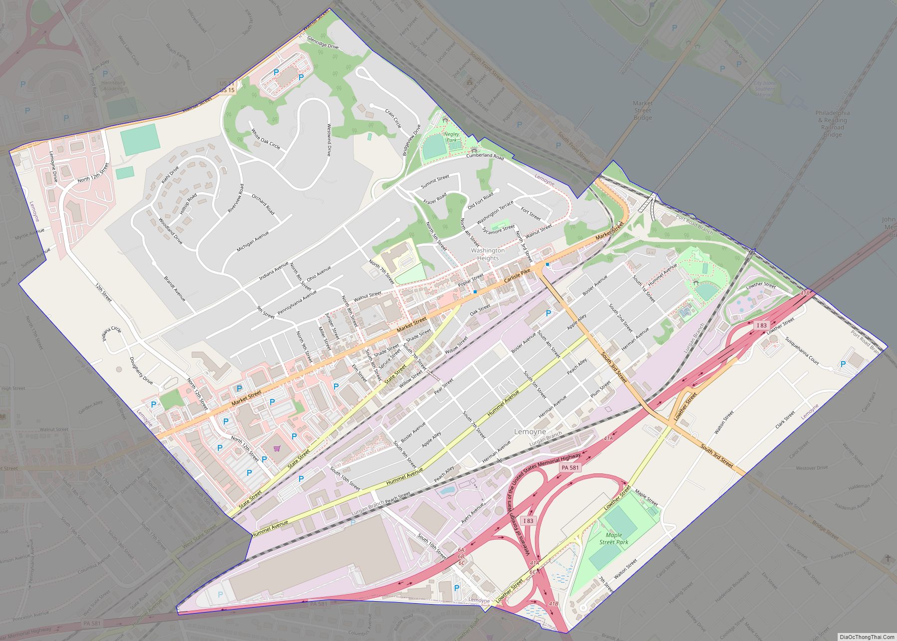
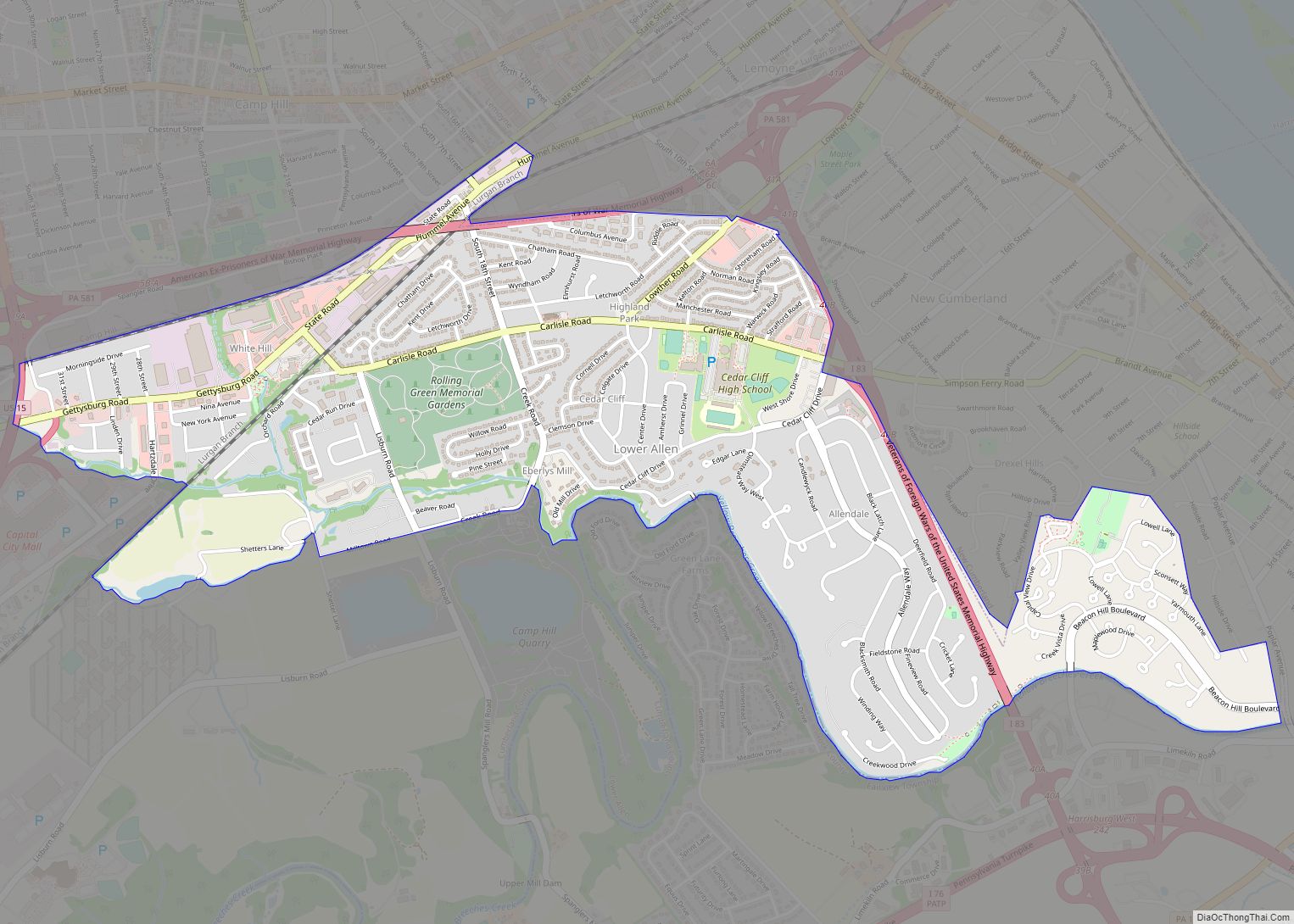
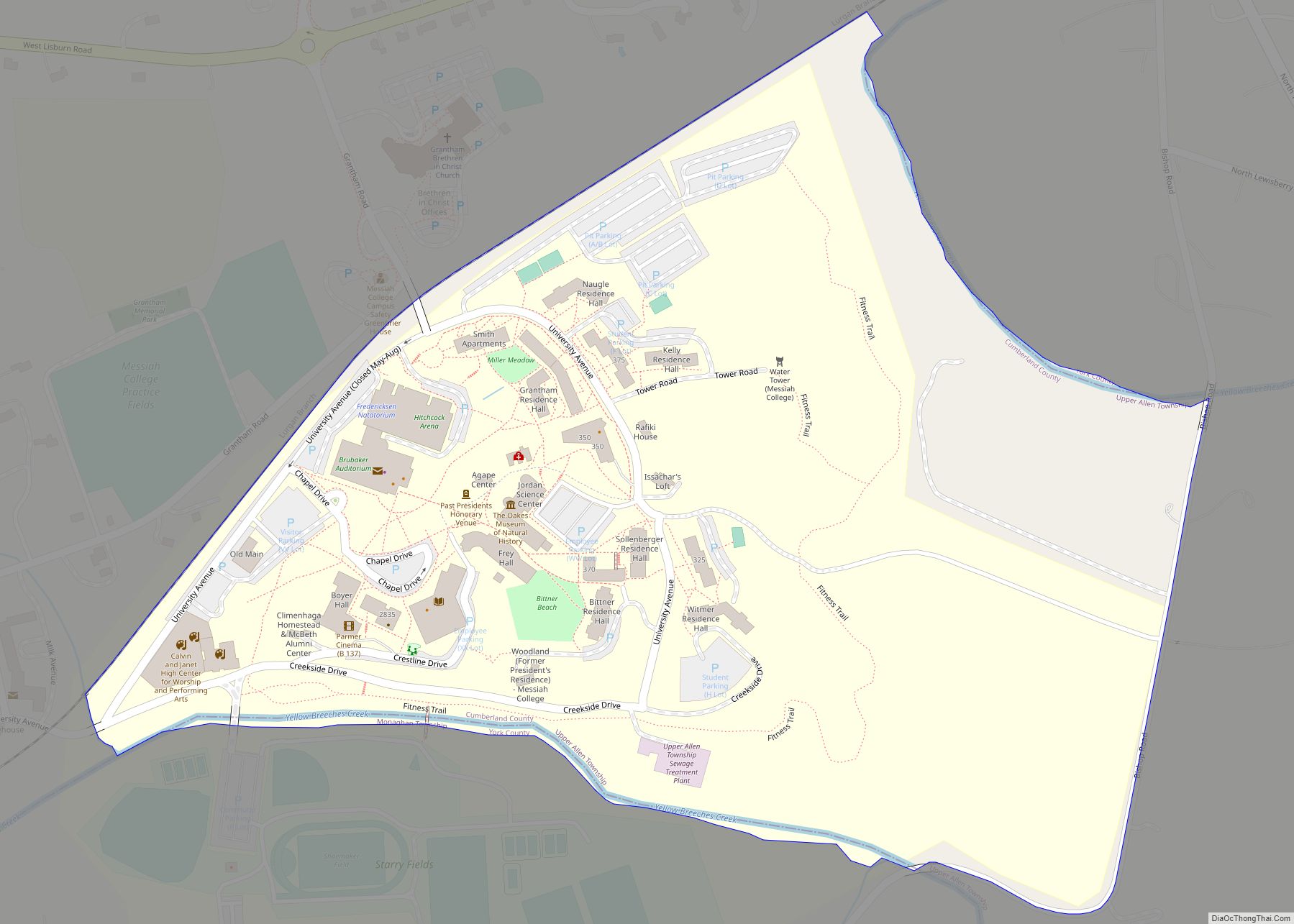
Online Interactive Map
Click on ![]() to view map in "full screen" mode.
to view map in "full screen" mode.
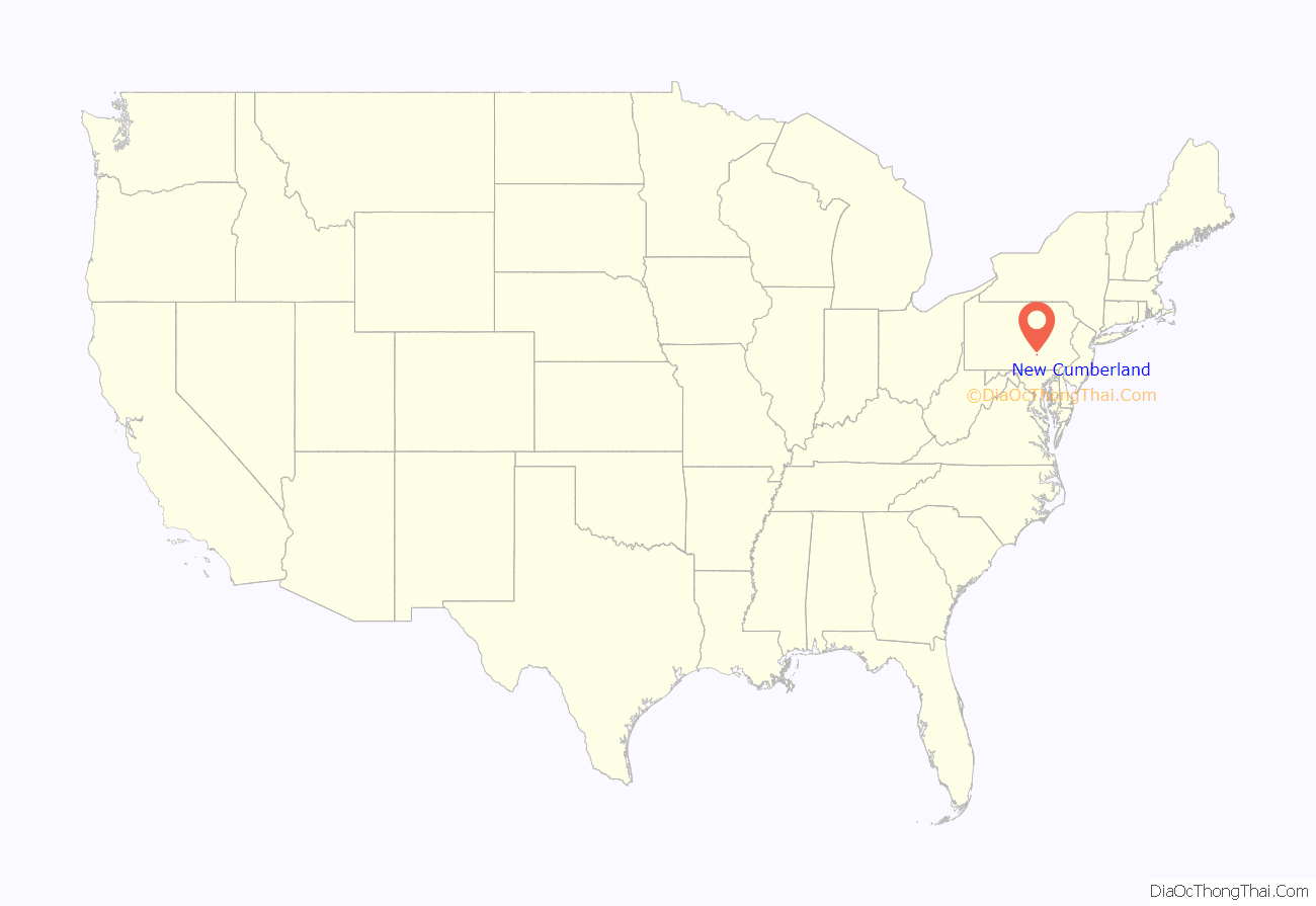
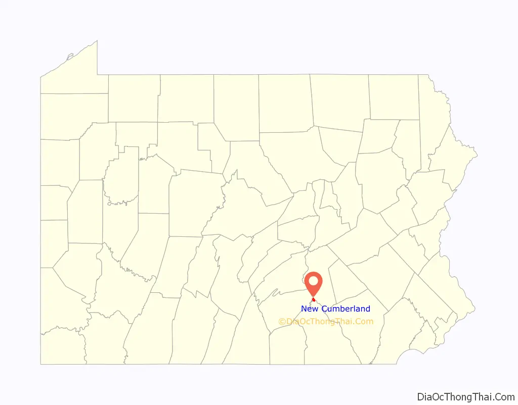
New Cumberland location map. Where is New Cumberland borough?
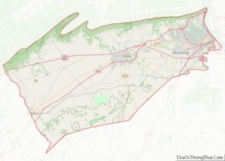
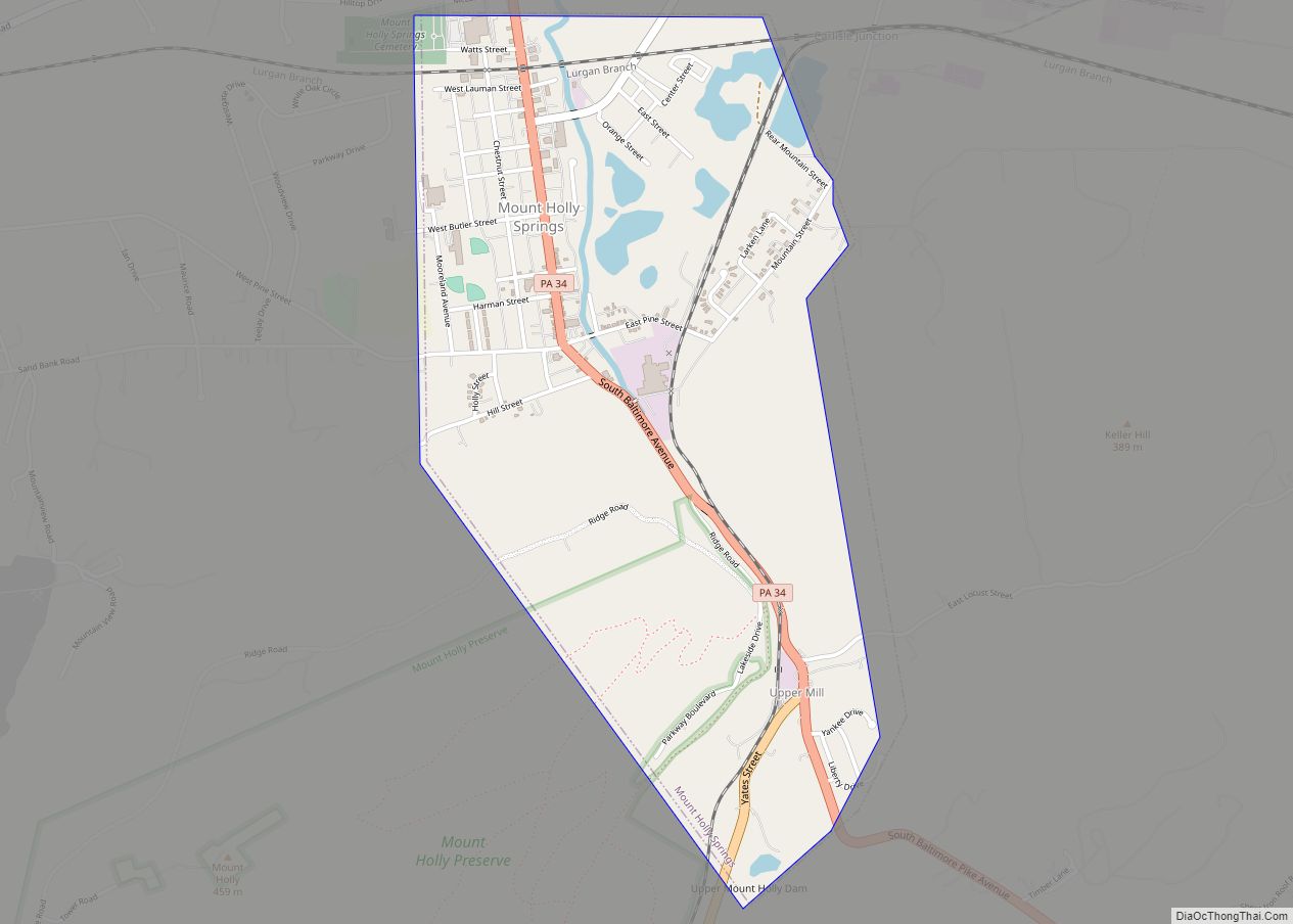
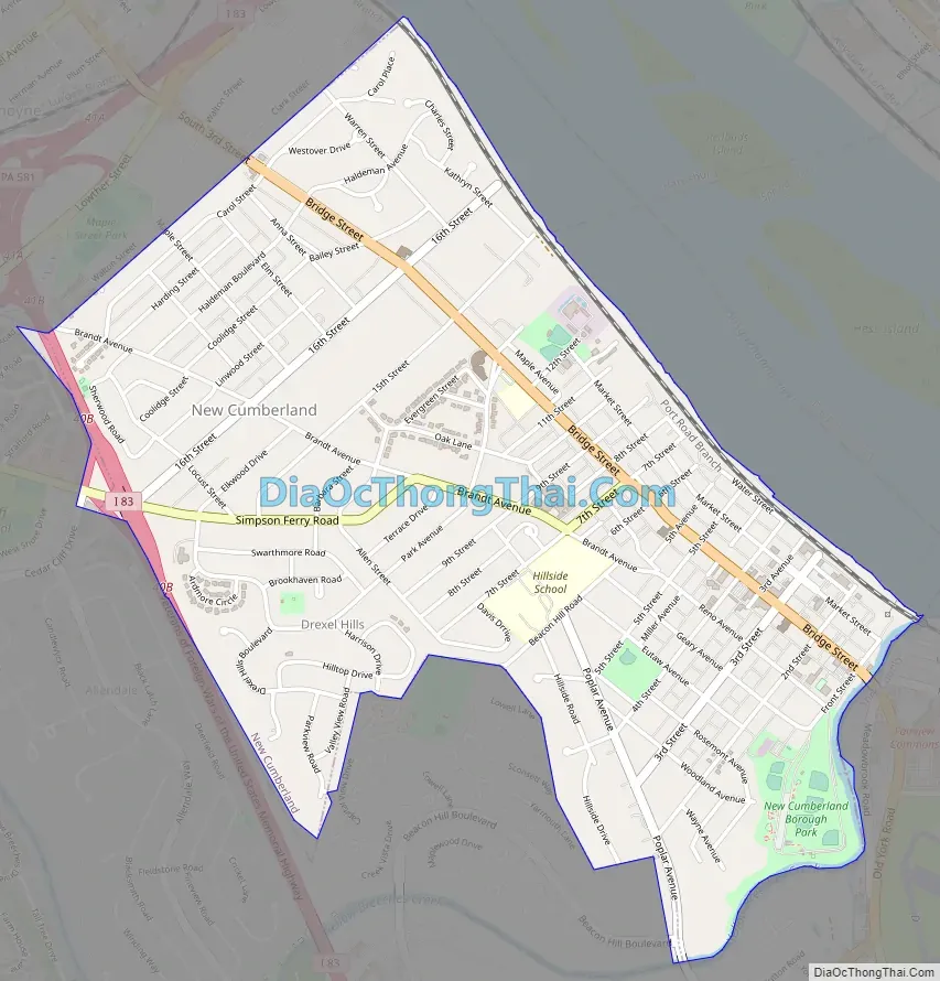
New Cumberland Road Map
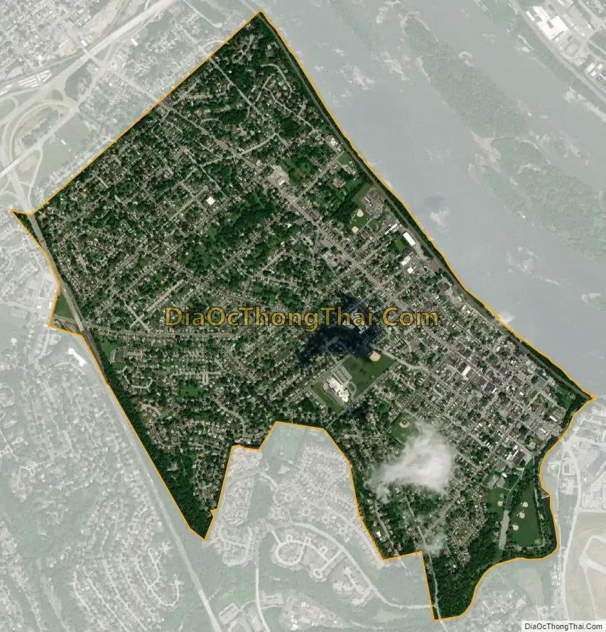
New Cumberland city Satellite Map
Geography
New Cumberland is located at 40°13′45″N 76°52′26″W / 40.22917°N 76.87389°W / 40.22917; -76.87389 (40.229140, -76.873992) and borders the western bank of the Susquehanna River in South Central Pennsylvania. It is bordered to the south by Yellow Breeches Creek, across which is York County and the Capital City Airport. To the west is Lower Allen Township, and to the north is the borough of Lemoyne. New Cumberland is situated along the southern edge of the Cumberland Valley.
Interstate 83 follows the western border of the borough, with access from Exit 40B (Simpson Ferry Road).
According to the United States Census Bureau, the borough has a total area of 1.68 square miles (4.36 km), of which 1.68 square miles (4.34 km) is land and 0.01 square miles (0.03 km), or 0.62%, is water.
See also
Map of Pennsylvania State and its subdivision:- Adams
- Allegheny
- Armstrong
- Beaver
- Bedford
- Berks
- Blair
- Bradford
- Bucks
- Butler
- Cambria
- Cameron
- Carbon
- Centre
- Chester
- Clarion
- Clearfield
- Clinton
- Columbia
- Crawford
- Cumberland
- Dauphin
- Delaware
- Elk
- Erie
- Fayette
- Forest
- Franklin
- Fulton
- Greene
- Huntingdon
- Indiana
- Jefferson
- Juniata
- Lackawanna
- Lancaster
- Lawrence
- Lebanon
- Lehigh
- Luzerne
- Lycoming
- Mc Kean
- Mercer
- Mifflin
- Monroe
- Montgomery
- Montour
- Northampton
- Northumberland
- Perry
- Philadelphia
- Pike
- Potter
- Schuylkill
- Snyder
- Somerset
- Sullivan
- Susquehanna
- Tioga
- Union
- Venango
- Warren
- Washington
- Wayne
- Westmoreland
- Wyoming
- York
- Alabama
- Alaska
- Arizona
- Arkansas
- California
- Colorado
- Connecticut
- Delaware
- District of Columbia
- Florida
- Georgia
- Hawaii
- Idaho
- Illinois
- Indiana
- Iowa
- Kansas
- Kentucky
- Louisiana
- Maine
- Maryland
- Massachusetts
- Michigan
- Minnesota
- Mississippi
- Missouri
- Montana
- Nebraska
- Nevada
- New Hampshire
- New Jersey
- New Mexico
- New York
- North Carolina
- North Dakota
- Ohio
- Oklahoma
- Oregon
- Pennsylvania
- Rhode Island
- South Carolina
- South Dakota
- Tennessee
- Texas
- Utah
- Vermont
- Virginia
- Washington
- West Virginia
- Wisconsin
- Wyoming