New Oxford is a borough in Adams County, Pennsylvania, United States. The population was 1,868 at the 2020 census.
| Name: | New Oxford borough |
|---|---|
| LSAD Code: | 21 |
| LSAD Description: | borough (suffix) |
| State: | Pennsylvania |
| County: | Adams County |
| Incorporated: | 1874 |
| Elevation: | 558 ft (170 m) |
| Total Area: | 0.62 sq mi (1.60 km²) |
| Land Area: | 0.62 sq mi (1.60 km²) |
| Water Area: | 0.00 sq mi (0.00 km²) |
| Total Population: | 1,868 |
| Population Density: | 3,017.77/sq mi (1,165.13/km²) |
| Area code: | 717 |
| FIPS code: | 4253920 |
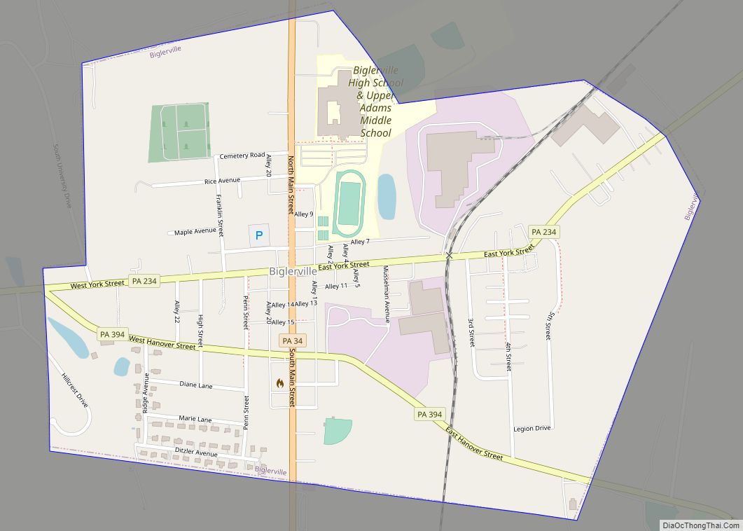
Online Interactive Map
Click on ![]() to view map in "full screen" mode.
to view map in "full screen" mode.
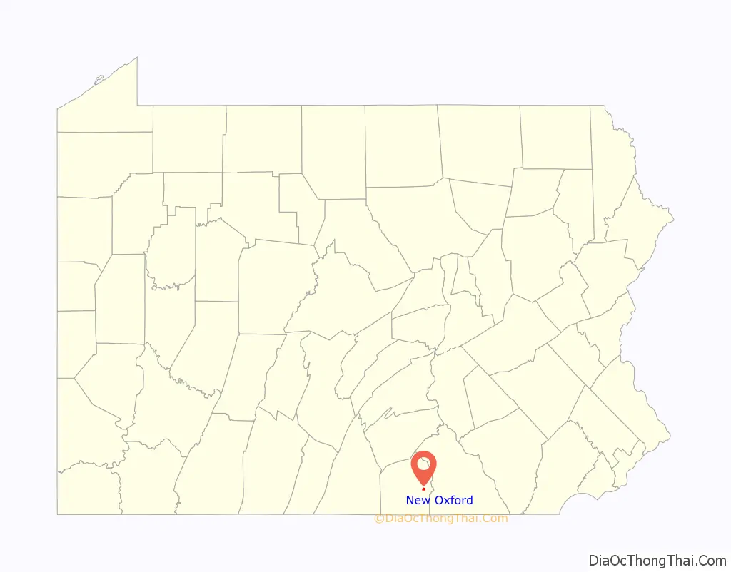
New Oxford location map. Where is New Oxford borough?

History
New Oxford was originally platted in 1792 for Henry Kuhn by James Bolton and identified as “Oxford town” due to the presence of a nearby stream ford and a local establishment named “Dutch Frederick’s stand” with the head of an ox on the front of the building. This was changed again in 1822 by the town’s first postmaster, Dr. Pfeiffer to “New Oxford”. New Oxford was incorporated as borough on August 20, 1874, and Joseph S. Gitt was elected as its first president and then served as secretary through 1891. In 1886, the population was 209, with 67 horses, 40 cattle, 65 “pleasure carriages”, and 14 gold watches.
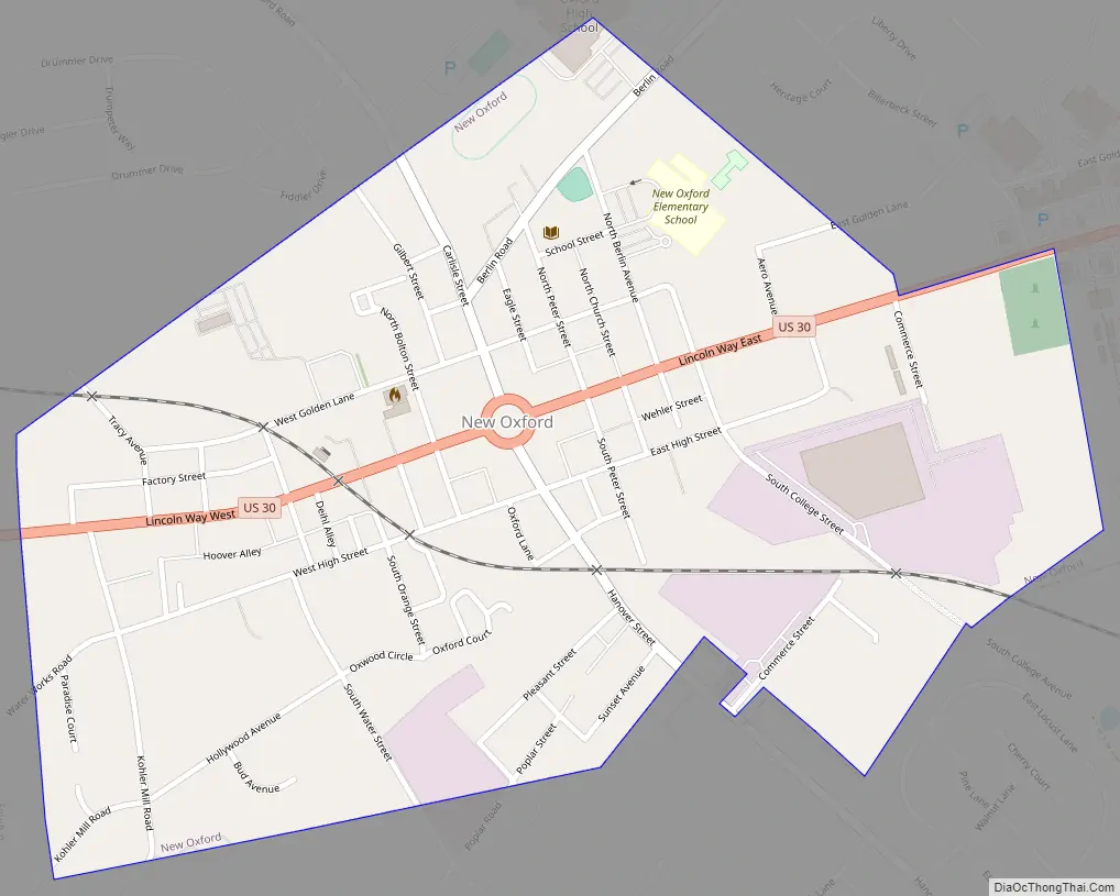
New Oxford Road Map
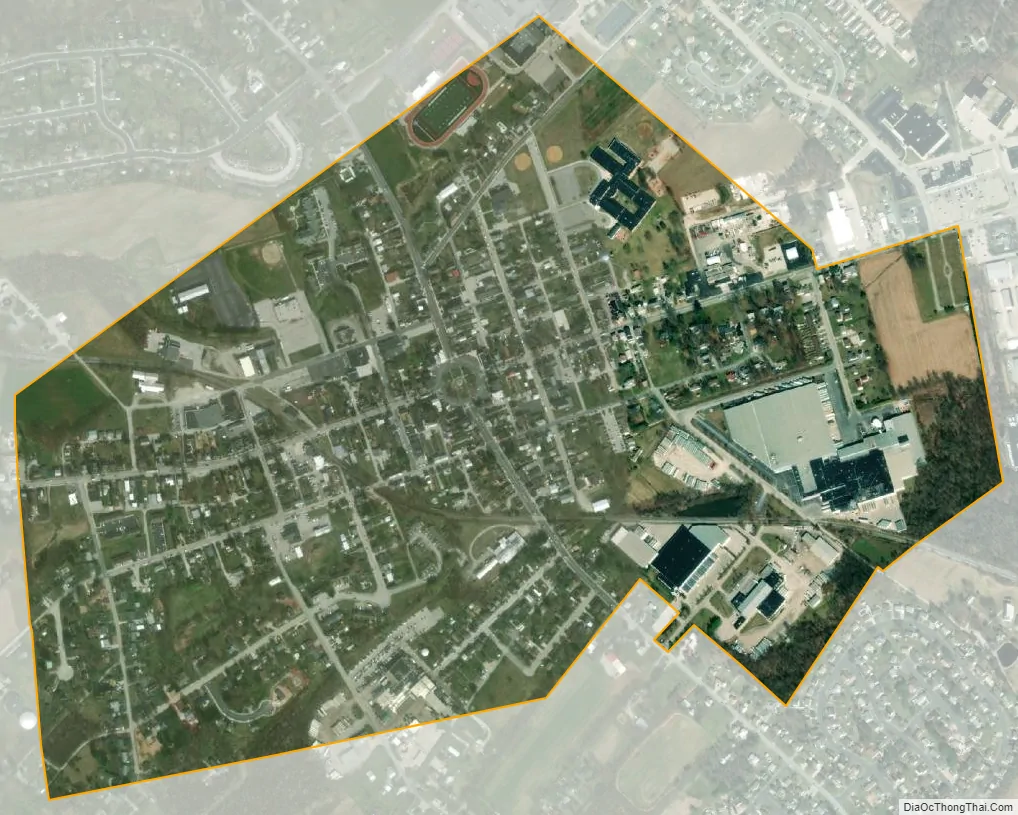
New Oxford city Satellite Map
Geography
New Oxford is located at 39°51′48″N 77°3′23″W / 39.86333°N 77.05639°W / 39.86333; -77.05639 (39.863208, -77.056475).
According to the United States Census Bureau, the borough has a total area of 0.6 square miles (1.6 km), all land.
See also
Map of Pennsylvania State and its subdivision:- Adams
- Allegheny
- Armstrong
- Beaver
- Bedford
- Berks
- Blair
- Bradford
- Bucks
- Butler
- Cambria
- Cameron
- Carbon
- Centre
- Chester
- Clarion
- Clearfield
- Clinton
- Columbia
- Crawford
- Cumberland
- Dauphin
- Delaware
- Elk
- Erie
- Fayette
- Forest
- Franklin
- Fulton
- Greene
- Huntingdon
- Indiana
- Jefferson
- Juniata
- Lackawanna
- Lancaster
- Lawrence
- Lebanon
- Lehigh
- Luzerne
- Lycoming
- Mc Kean
- Mercer
- Mifflin
- Monroe
- Montgomery
- Montour
- Northampton
- Northumberland
- Perry
- Philadelphia
- Pike
- Potter
- Schuylkill
- Snyder
- Somerset
- Sullivan
- Susquehanna
- Tioga
- Union
- Venango
- Warren
- Washington
- Wayne
- Westmoreland
- Wyoming
- York
- Alabama
- Alaska
- Arizona
- Arkansas
- California
- Colorado
- Connecticut
- Delaware
- District of Columbia
- Florida
- Georgia
- Hawaii
- Idaho
- Illinois
- Indiana
- Iowa
- Kansas
- Kentucky
- Louisiana
- Maine
- Maryland
- Massachusetts
- Michigan
- Minnesota
- Mississippi
- Missouri
- Montana
- Nebraska
- Nevada
- New Hampshire
- New Jersey
- New Mexico
- New York
- North Carolina
- North Dakota
- Ohio
- Oklahoma
- Oregon
- Pennsylvania
- Rhode Island
- South Carolina
- South Dakota
- Tennessee
- Texas
- Utah
- Vermont
- Virginia
- Washington
- West Virginia
- Wisconsin
- Wyoming