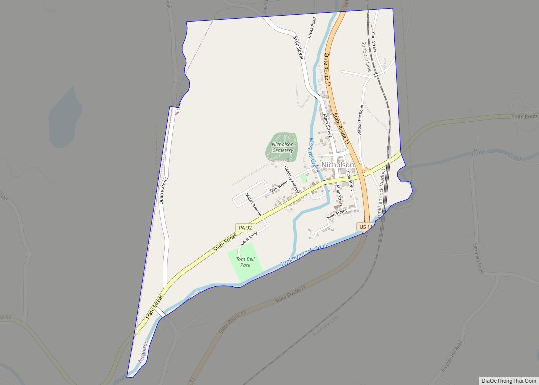
Nicholson is a borough in Wyoming County, Pennsylvania. The population was 698 at the 2020 census.
| Name: | Nicholson borough |
|---|---|
| LSAD Code: | 21 |
| LSAD Description: | borough (suffix) |
| State: | Pennsylvania |
| County: | Wyoming County |
| Founded: | August 23, 1875 |
| Elevation: | 728 ft (222 m) |
| Total Area: | 1.17 sq mi (3.04 km²) |
| Land Area: | 1.16 sq mi (3.00 km²) |
| Water Area: | 0.02 sq mi (0.04 km²) |
| Total Population: | 696 |
| Population Density: | 601.04/sq mi (231.99/km²) |
| ZIP code: | 18446 |
| Area code: | 570 |
| FIPS code: | 4254400 |
| Website: | www.nicholsonborough.org |
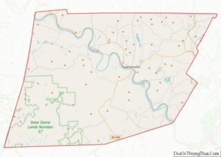
Online Interactive Map
Click on ![]() to view map in "full screen" mode.
to view map in "full screen" mode.
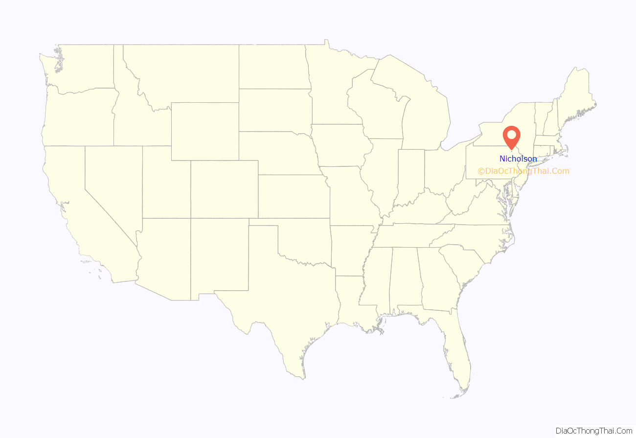
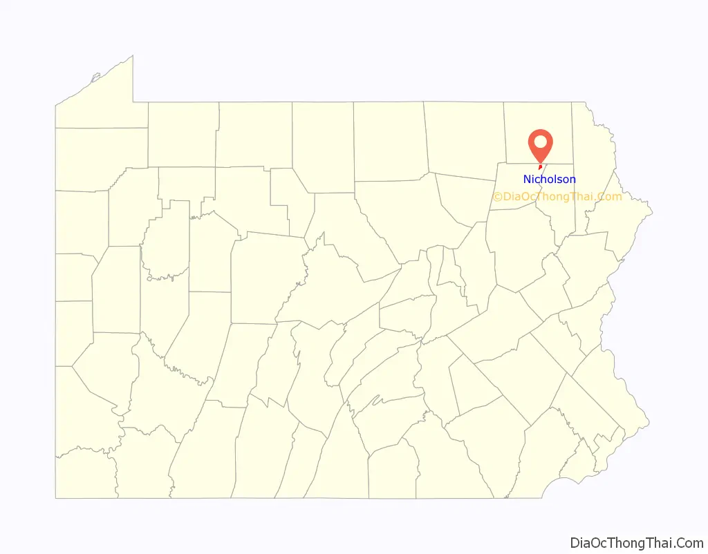
Nicholson location map. Where is Nicholson borough?
History
The borough of Nicholson was incorporated on August 23, 1875 and was named after John Nicholson, who had been Pennsylvania’s comptroller general in the late 1700s.
The town of Nicholson attracted national attention during the final week of July 1986, when an escaped Bengal tiger was hunted in the area for several days. Despite air and ground searches by state police and zoo officials, the animal was never found.
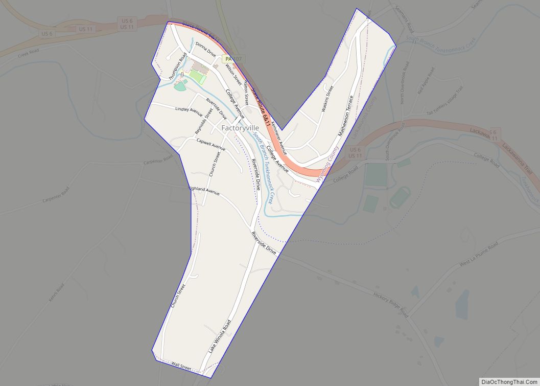
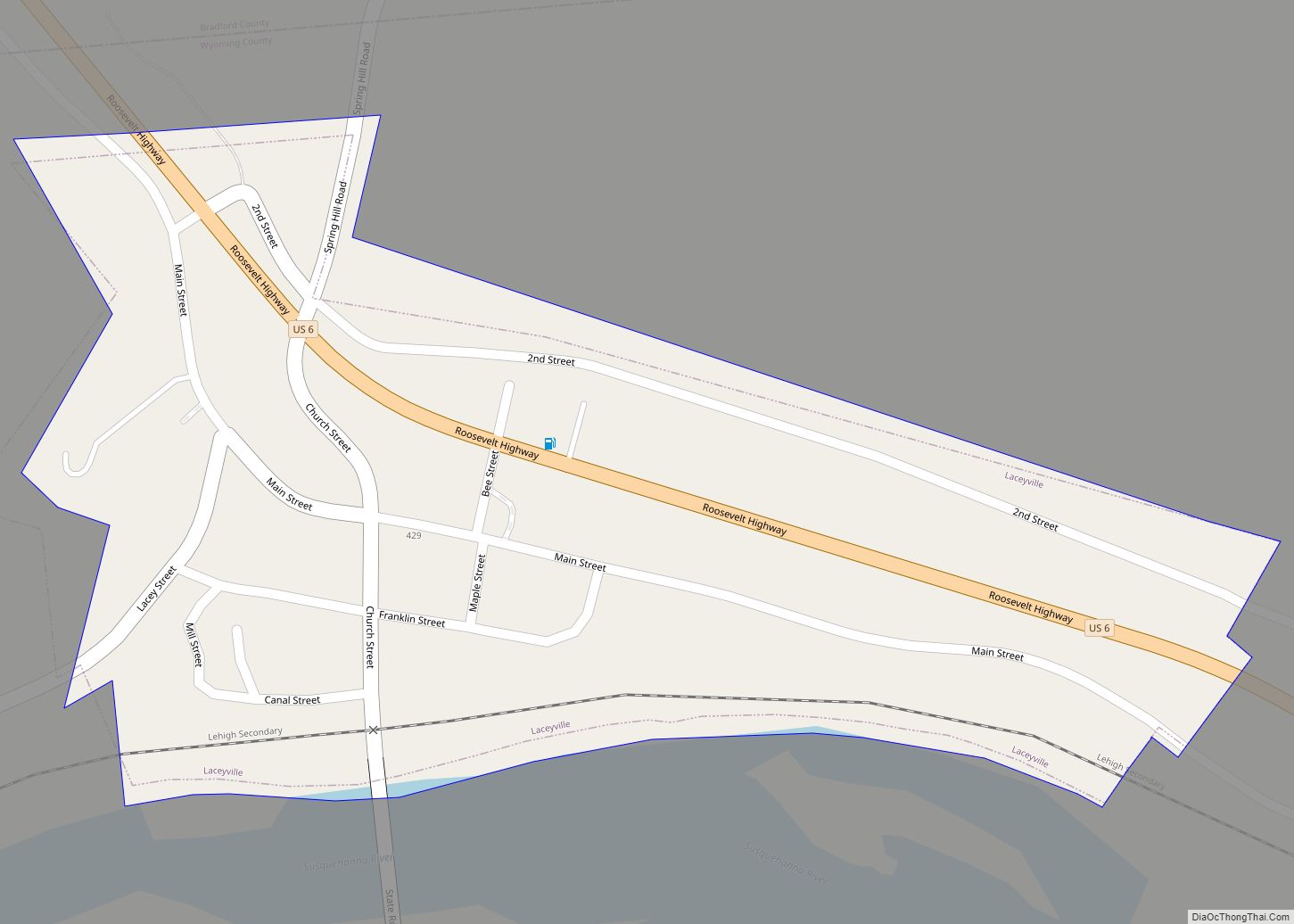
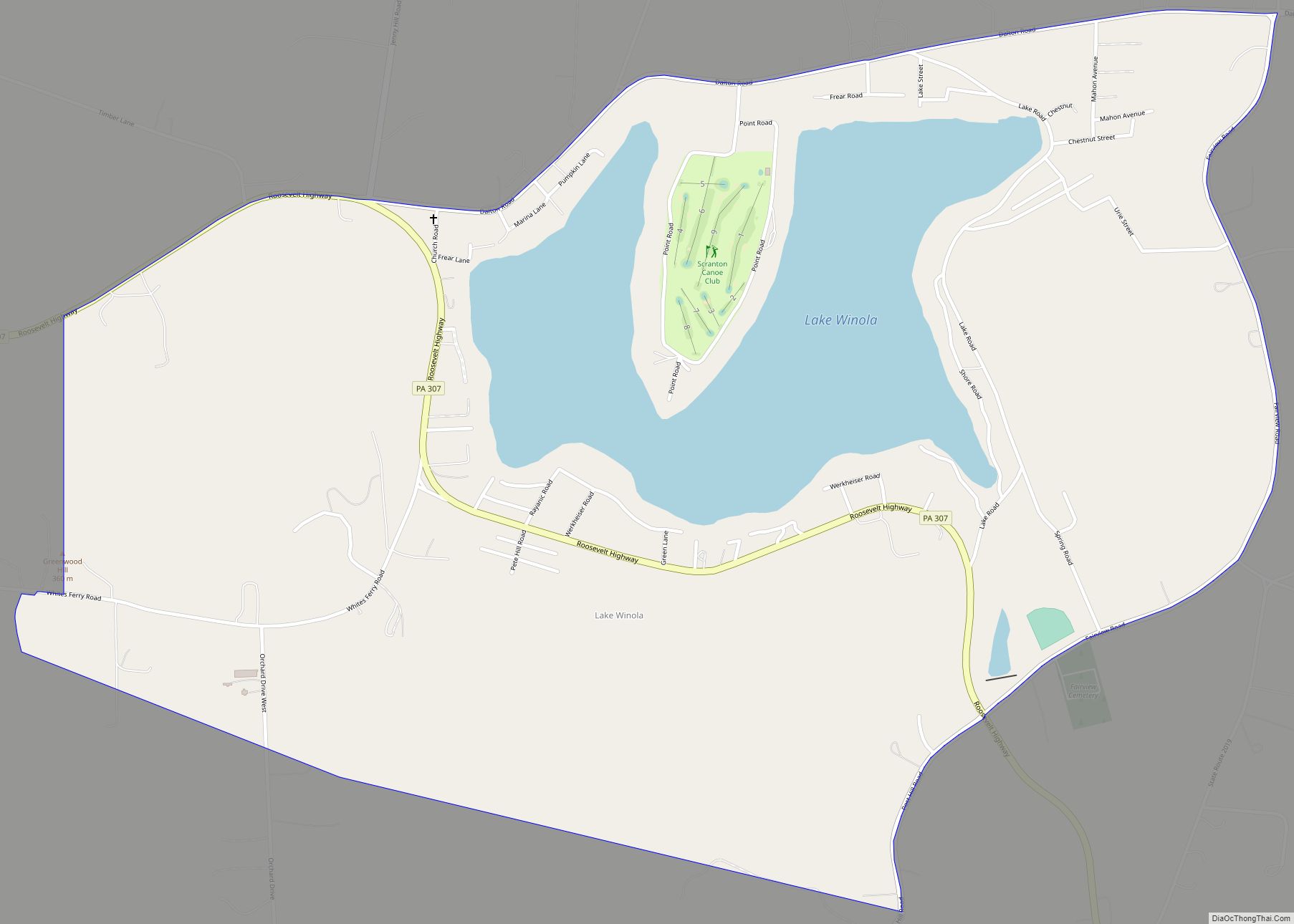
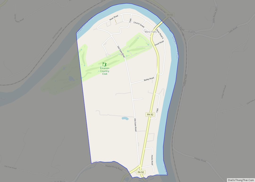
Nicholson Road Map
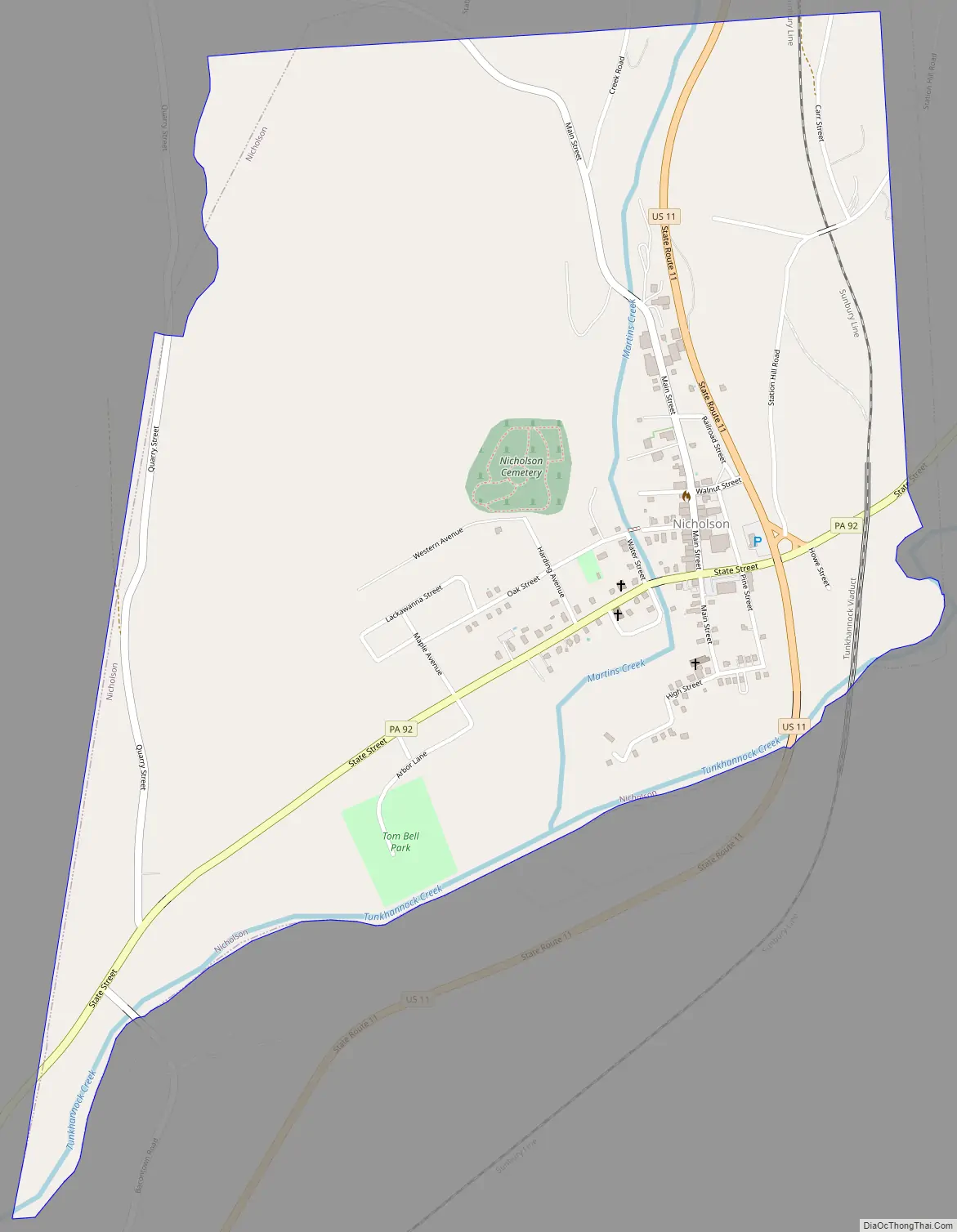
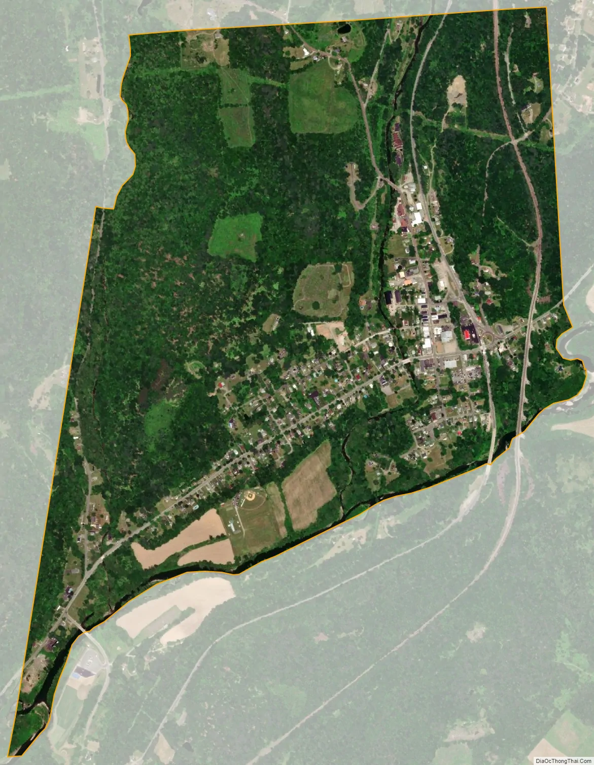
Nicholson city Satellite Map
Geography
Nicholson is located at 41°37′30″N 75°46′59″W / 41.62500°N 75.78306°W / 41.62500; -75.78306 (41.624983, -75.783054). According to the U.S. Census Bureau, the borough has a total area of 1.2 square miles (3.1 km), of which 1.2 square miles (3.1 km) is land and 0.01 square miles (0.026 km) (0.83%) is water.
See also
Map of Pennsylvania State and its subdivision:- Adams
- Allegheny
- Armstrong
- Beaver
- Bedford
- Berks
- Blair
- Bradford
- Bucks
- Butler
- Cambria
- Cameron
- Carbon
- Centre
- Chester
- Clarion
- Clearfield
- Clinton
- Columbia
- Crawford
- Cumberland
- Dauphin
- Delaware
- Elk
- Erie
- Fayette
- Forest
- Franklin
- Fulton
- Greene
- Huntingdon
- Indiana
- Jefferson
- Juniata
- Lackawanna
- Lancaster
- Lawrence
- Lebanon
- Lehigh
- Luzerne
- Lycoming
- Mc Kean
- Mercer
- Mifflin
- Monroe
- Montgomery
- Montour
- Northampton
- Northumberland
- Perry
- Philadelphia
- Pike
- Potter
- Schuylkill
- Snyder
- Somerset
- Sullivan
- Susquehanna
- Tioga
- Union
- Venango
- Warren
- Washington
- Wayne
- Westmoreland
- Wyoming
- York
- Alabama
- Alaska
- Arizona
- Arkansas
- California
- Colorado
- Connecticut
- Delaware
- District of Columbia
- Florida
- Georgia
- Hawaii
- Idaho
- Illinois
- Indiana
- Iowa
- Kansas
- Kentucky
- Louisiana
- Maine
- Maryland
- Massachusetts
- Michigan
- Minnesota
- Mississippi
- Missouri
- Montana
- Nebraska
- Nevada
- New Hampshire
- New Jersey
- New Mexico
- New York
- North Carolina
- North Dakota
- Ohio
- Oklahoma
- Oregon
- Pennsylvania
- Rhode Island
- South Carolina
- South Dakota
- Tennessee
- Texas
- Utah
- Vermont
- Virginia
- Washington
- West Virginia
- Wisconsin
- Wyoming