Norwood is a borough that is located in Delaware County, Pennsylvania, United States. The population was 5,890 at the time of the 2010 census.
| Name: | Norwood borough |
|---|---|
| LSAD Code: | 21 |
| LSAD Description: | borough (suffix) |
| State: | Pennsylvania |
| County: | Delaware County |
| Elevation: | 82 ft (25 m) |
| Total Area: | 0.82 sq mi (2.11 km²) |
| Land Area: | 0.78 sq mi (2.01 km²) |
| Water Area: | 0.04 sq mi (0.10 km²) |
| Total Population: | 5,943 |
| Population Density: | 7,638.82/sq mi (2,950.02/km²) |
| ZIP code: | 19074 |
| FIPS code: | 4255664 |
| GNISfeature ID: | 1182691 |
| Website: | www.norwoodpa.org |
Online Interactive Map
Click on ![]() to view map in "full screen" mode.
to view map in "full screen" mode.
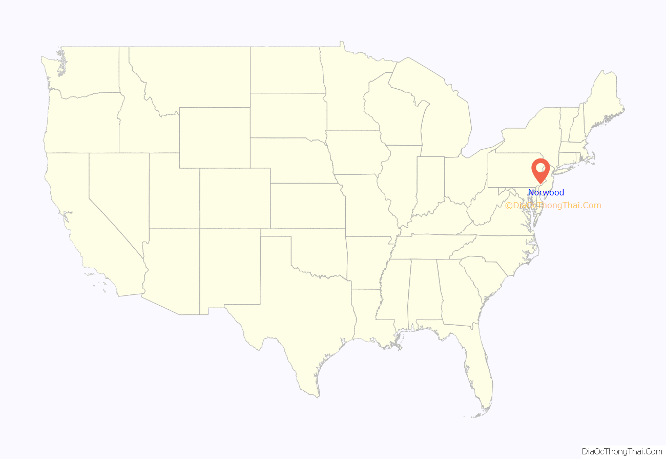
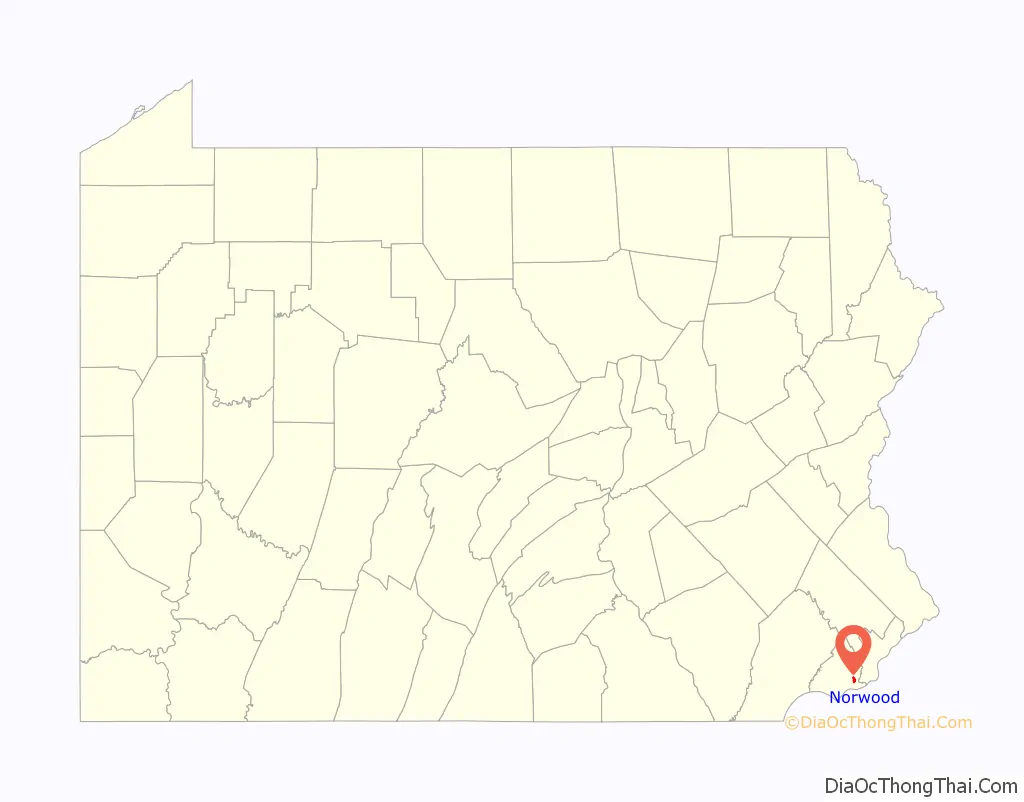
Norwood location map. Where is Norwood borough?
History
The Morton Morton House is located at the confluence of the Muckinipattis Creek and Darby Creek. It was built circa 1750 by Morton Morton (1701-1781), the great-grandson of Marten Martenson, who was a settler in New Sweden in 1654. Morton Morton was also a first cousin to John Morton, one of the signers of the Declaration of Independence.
The Morton Morton House was listed on the National Register of Historic Places in 2000.
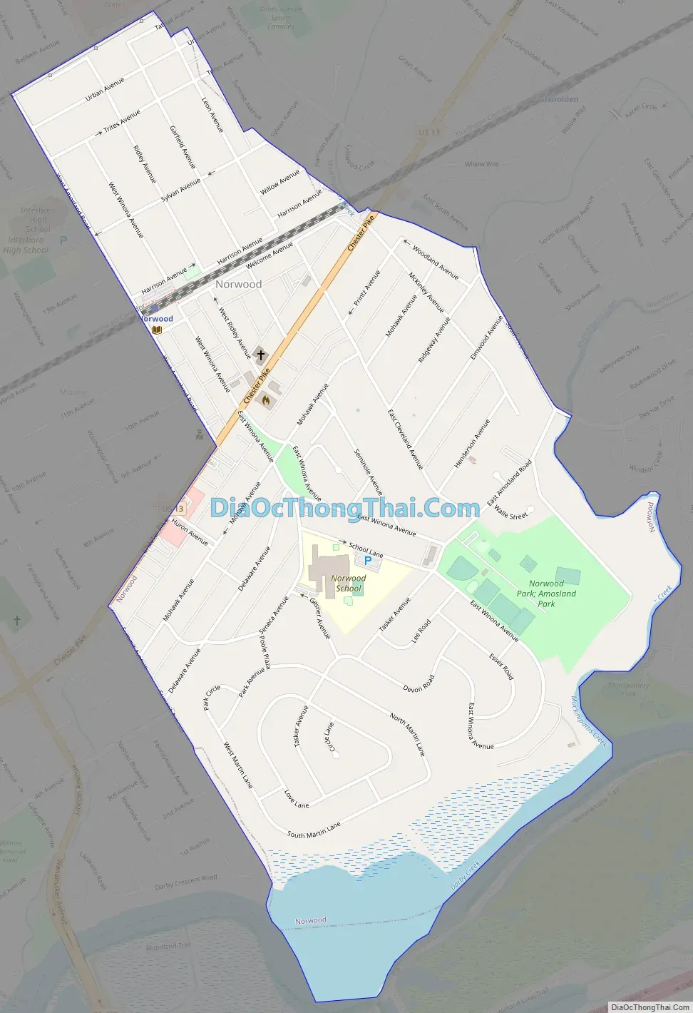
Norwood Road Map
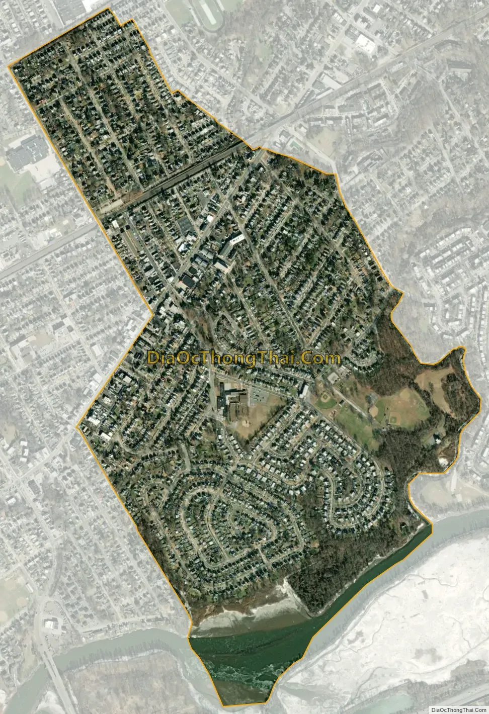
Norwood city Satellite Map
Geography
Norwood is located in southeastern Delaware County at 39°53′18″N 75°17′50″W / 39.88833°N 75.29722°W / 39.88833; -75.29722 (39.888312, -75.297178). It is bordered to the northeast by Glenolden, to the east by Folcroft, to the south by Tinicum Township, to the west by Prospect Park, and to the west and north by Ridley Township.
Norwood is also bordered by Darby Creek to the south and the Muckinipattis Creek to the east.
According to the United States Census Bureau, Norwood has a total area of 0.81 square miles (2.1 km), of which 0.77 square miles (2.0 km) is land and 0.04 square miles (0.1 km), or 4.54%, is water.
See also
Map of Pennsylvania State and its subdivision:- Adams
- Allegheny
- Armstrong
- Beaver
- Bedford
- Berks
- Blair
- Bradford
- Bucks
- Butler
- Cambria
- Cameron
- Carbon
- Centre
- Chester
- Clarion
- Clearfield
- Clinton
- Columbia
- Crawford
- Cumberland
- Dauphin
- Delaware
- Elk
- Erie
- Fayette
- Forest
- Franklin
- Fulton
- Greene
- Huntingdon
- Indiana
- Jefferson
- Juniata
- Lackawanna
- Lancaster
- Lawrence
- Lebanon
- Lehigh
- Luzerne
- Lycoming
- Mc Kean
- Mercer
- Mifflin
- Monroe
- Montgomery
- Montour
- Northampton
- Northumberland
- Perry
- Philadelphia
- Pike
- Potter
- Schuylkill
- Snyder
- Somerset
- Sullivan
- Susquehanna
- Tioga
- Union
- Venango
- Warren
- Washington
- Wayne
- Westmoreland
- Wyoming
- York
- Alabama
- Alaska
- Arizona
- Arkansas
- California
- Colorado
- Connecticut
- Delaware
- District of Columbia
- Florida
- Georgia
- Hawaii
- Idaho
- Illinois
- Indiana
- Iowa
- Kansas
- Kentucky
- Louisiana
- Maine
- Maryland
- Massachusetts
- Michigan
- Minnesota
- Mississippi
- Missouri
- Montana
- Nebraska
- Nevada
- New Hampshire
- New Jersey
- New Mexico
- New York
- North Carolina
- North Dakota
- Ohio
- Oklahoma
- Oregon
- Pennsylvania
- Rhode Island
- South Carolina
- South Dakota
- Tennessee
- Texas
- Utah
- Vermont
- Virginia
- Washington
- West Virginia
- Wisconsin
- Wyoming


