Oak Hills is a census-designated place (CDP) in Butler County, Pennsylvania, United States. The population was 2,333 at the 2010 census.
| Name: | Oak Hills CDP |
|---|---|
| LSAD Code: | 57 |
| LSAD Description: | CDP (suffix) |
| State: | Pennsylvania |
| County: | Butler County |
| Elevation: | 1,230 ft (370 m) |
| Total Area: | 3.37 sq mi (8.72 km²) |
| Land Area: | 3.37 sq mi (8.72 km²) |
| Water Area: | 0.00 sq mi (0.00 km²) |
| Total Population: | 2,382 |
| Population Density: | 707.03/sq mi (273.02/km²) |
| FIPS code: | 4255969 |
Online Interactive Map
Click on ![]() to view map in "full screen" mode.
to view map in "full screen" mode.
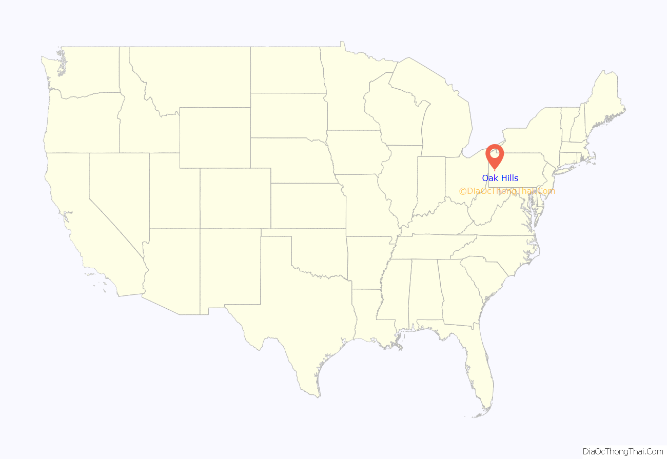
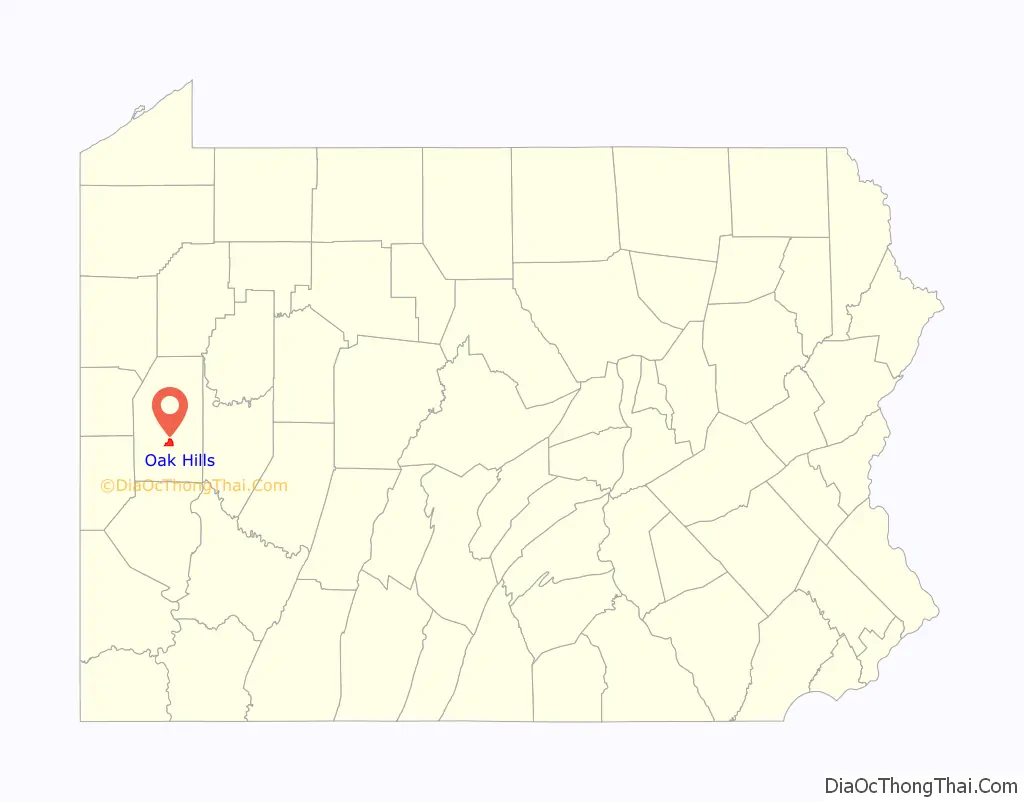
Oak Hills location map. Where is Oak Hills CDP?
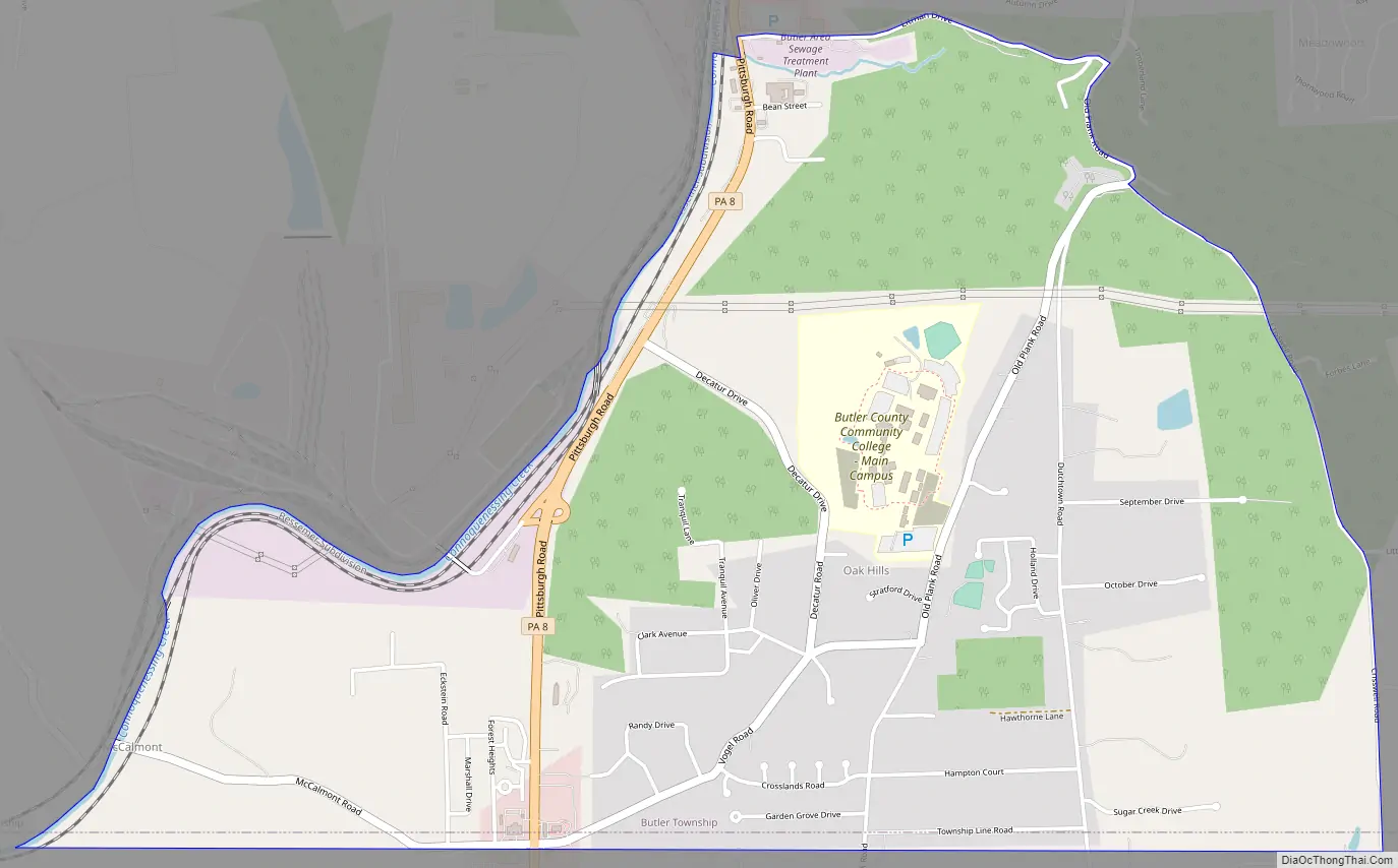
Oak Hills Road Map
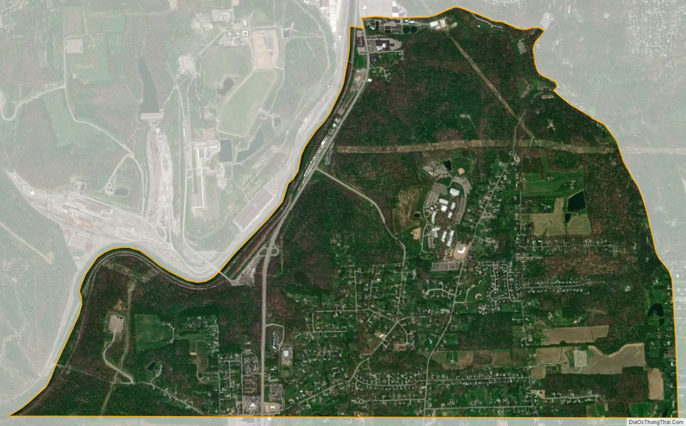
Oak Hills city Satellite Map
Geography
Oak Hills is located in the southern part of Butler Township at 40°49′30″N 79°55′8″W / 40.82500°N 79.91889°W / 40.82500; -79.91889 (40.825041, −79.918853). It is bordered to the northeast by Meadowood. The northwestern boundary of the CDP follows Connoquenessing Creek. Pennsylvania Route 8 passes through the CDP, leading north 4 miles (6 km) to downtown Butler and south 29 miles (47 km) to downtown Pittsburgh.
Butler County Community College is located in Oak Hills.
According to the United States Census Bureau, the CDP has a total area of 3.4 square miles (8.7 km), all land.
See also
Map of Pennsylvania State and its subdivision:- Adams
- Allegheny
- Armstrong
- Beaver
- Bedford
- Berks
- Blair
- Bradford
- Bucks
- Butler
- Cambria
- Cameron
- Carbon
- Centre
- Chester
- Clarion
- Clearfield
- Clinton
- Columbia
- Crawford
- Cumberland
- Dauphin
- Delaware
- Elk
- Erie
- Fayette
- Forest
- Franklin
- Fulton
- Greene
- Huntingdon
- Indiana
- Jefferson
- Juniata
- Lackawanna
- Lancaster
- Lawrence
- Lebanon
- Lehigh
- Luzerne
- Lycoming
- Mc Kean
- Mercer
- Mifflin
- Monroe
- Montgomery
- Montour
- Northampton
- Northumberland
- Perry
- Philadelphia
- Pike
- Potter
- Schuylkill
- Snyder
- Somerset
- Sullivan
- Susquehanna
- Tioga
- Union
- Venango
- Warren
- Washington
- Wayne
- Westmoreland
- Wyoming
- York
- Alabama
- Alaska
- Arizona
- Arkansas
- California
- Colorado
- Connecticut
- Delaware
- District of Columbia
- Florida
- Georgia
- Hawaii
- Idaho
- Illinois
- Indiana
- Iowa
- Kansas
- Kentucky
- Louisiana
- Maine
- Maryland
- Massachusetts
- Michigan
- Minnesota
- Mississippi
- Missouri
- Montana
- Nebraska
- Nevada
- New Hampshire
- New Jersey
- New Mexico
- New York
- North Carolina
- North Dakota
- Ohio
- Oklahoma
- Oregon
- Pennsylvania
- Rhode Island
- South Carolina
- South Dakota
- Tennessee
- Texas
- Utah
- Vermont
- Virginia
- Washington
- West Virginia
- Wisconsin
- Wyoming


