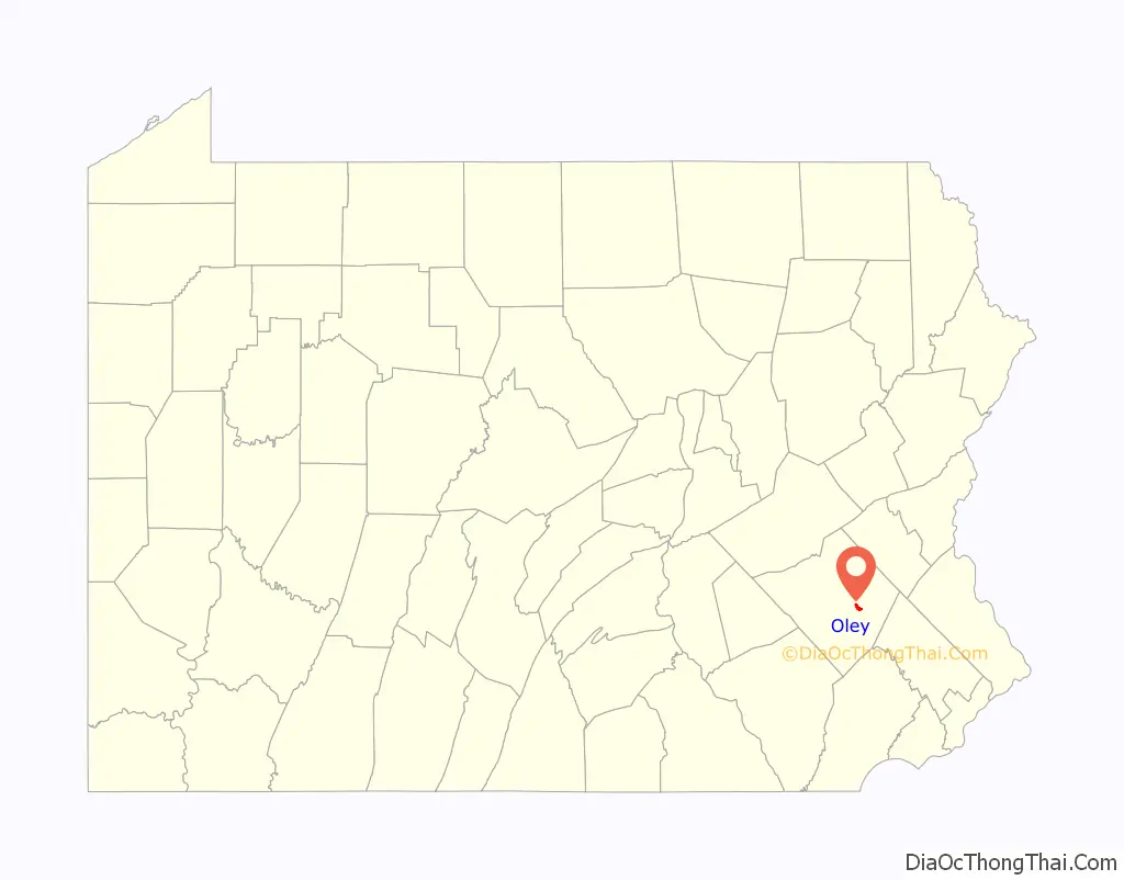
Oley (also called Friedensburg) is a census-designated place (CDP) that is located on Routes 73 and 662 in northern Oley Township, Berks County, United States.
The ZIP code is 19547.
| Name: | Oley CDP |
|---|---|
| LSAD Code: | 57 |
| LSAD Description: | CDP (suffix) |
| State: | Pennsylvania |
| County: | Berks County |
| Elevation: | 443 ft (135 m) |
| Total Area: | 1.24 sq mi (3.22 km²) |
| Land Area: | 1.23 sq mi (3.18 km²) |
| Water Area: | 0.01 sq mi (0.04 km²) |
| Total Population: | 1,244 |
| Population Density: | 1,013.85/sq mi (391.32/km²) |
| ZIP code: | 19547 |
| Area code: | 610 and 484 |
| FIPS code: | 4256664 |
| GNISfeature ID: | 1198264 |
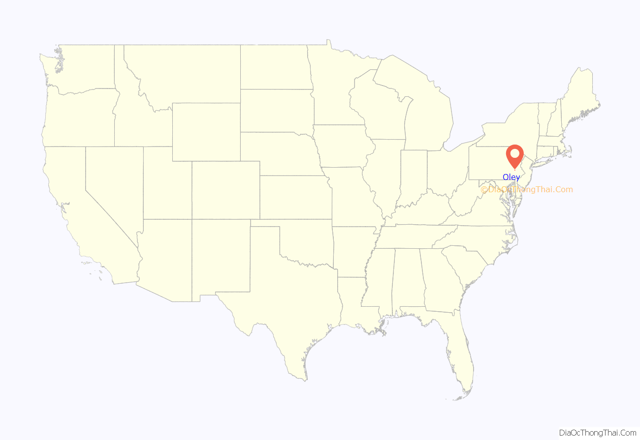
Online Interactive Map
Click on ![]() to view map in "full screen" mode.
to view map in "full screen" mode.
Oley location map. Where is Oley CDP?
History
A post office named Oley Furnace was established in 1828 and renamed as Oley in 1836. The community took its name from Oley Township.
The entire township is listed on the National Register of Historic Places.
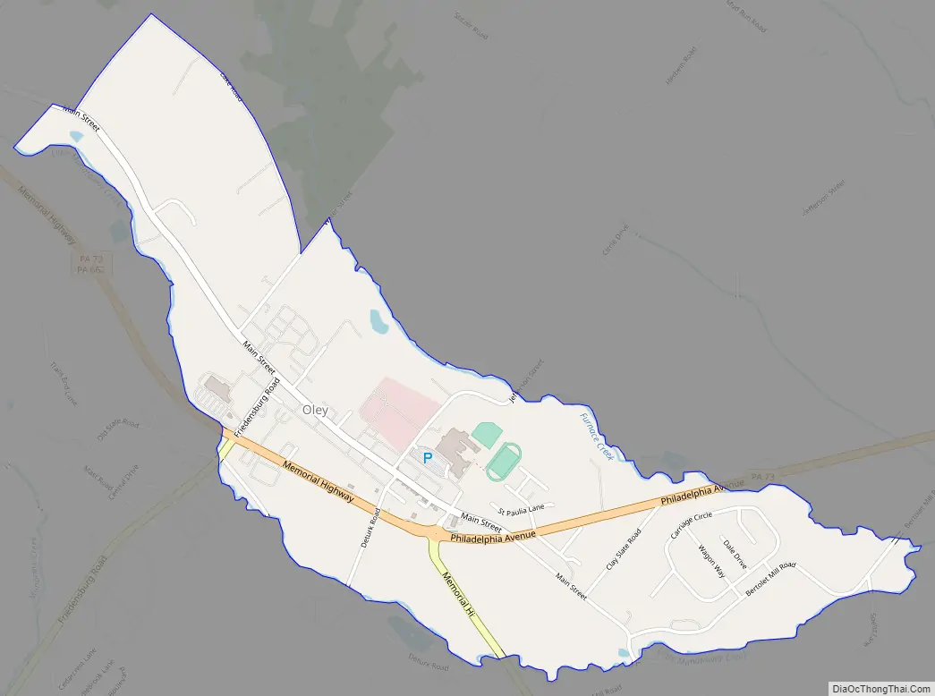
Oley Road Map
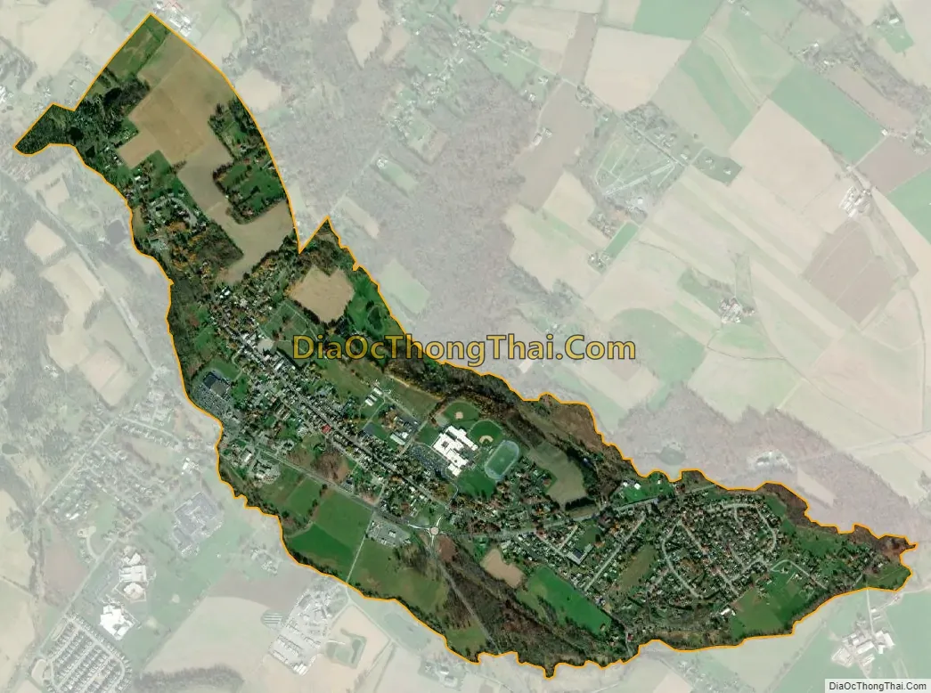
Oley city Satellite Map
Geography
The Little Manatawny Creek flows southeastward through Oley into the Manatawny Creek, a tributary of the Schuylkill River.
The Berks Career and Technology Center has a campus in Oley that serves eastern Berks County. Oley Valley High School and the Reading Motorcycle Club are also located in Oley.
See also
Map of Pennsylvania State and its subdivision:- Adams
- Allegheny
- Armstrong
- Beaver
- Bedford
- Berks
- Blair
- Bradford
- Bucks
- Butler
- Cambria
- Cameron
- Carbon
- Centre
- Chester
- Clarion
- Clearfield
- Clinton
- Columbia
- Crawford
- Cumberland
- Dauphin
- Delaware
- Elk
- Erie
- Fayette
- Forest
- Franklin
- Fulton
- Greene
- Huntingdon
- Indiana
- Jefferson
- Juniata
- Lackawanna
- Lancaster
- Lawrence
- Lebanon
- Lehigh
- Luzerne
- Lycoming
- Mc Kean
- Mercer
- Mifflin
- Monroe
- Montgomery
- Montour
- Northampton
- Northumberland
- Perry
- Philadelphia
- Pike
- Potter
- Schuylkill
- Snyder
- Somerset
- Sullivan
- Susquehanna
- Tioga
- Union
- Venango
- Warren
- Washington
- Wayne
- Westmoreland
- Wyoming
- York
- Alabama
- Alaska
- Arizona
- Arkansas
- California
- Colorado
- Connecticut
- Delaware
- District of Columbia
- Florida
- Georgia
- Hawaii
- Idaho
- Illinois
- Indiana
- Iowa
- Kansas
- Kentucky
- Louisiana
- Maine
- Maryland
- Massachusetts
- Michigan
- Minnesota
- Mississippi
- Missouri
- Montana
- Nebraska
- Nevada
- New Hampshire
- New Jersey
- New Mexico
- New York
- North Carolina
- North Dakota
- Ohio
- Oklahoma
- Oregon
- Pennsylvania
- Rhode Island
- South Carolina
- South Dakota
- Tennessee
- Texas
- Utah
- Vermont
- Virginia
- Washington
- West Virginia
- Wisconsin
- Wyoming


