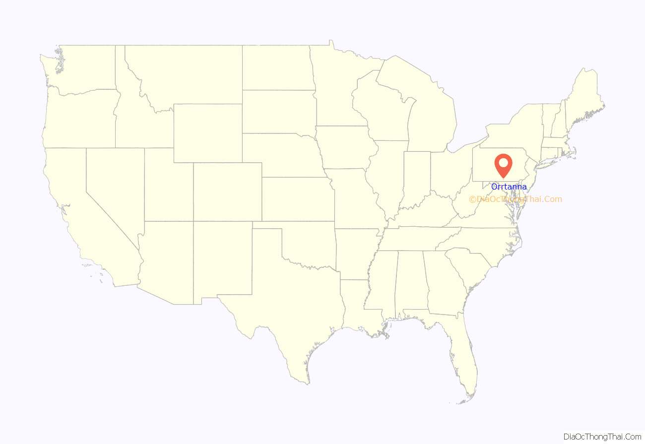
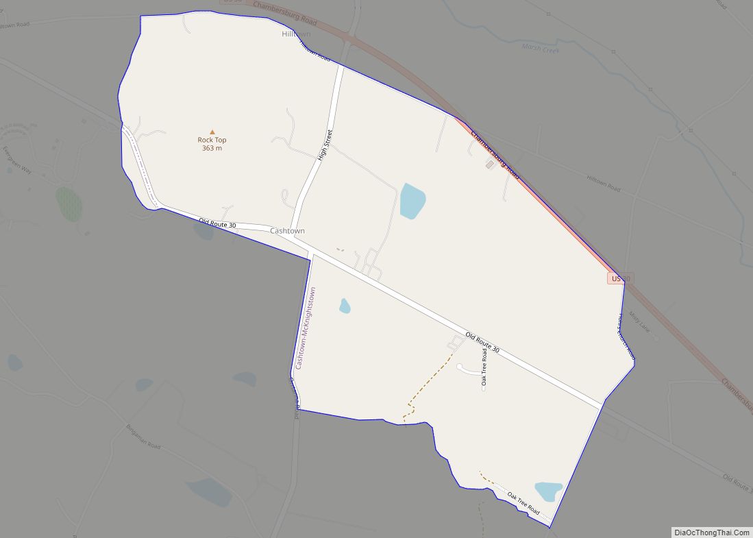
Orrtanna is a census-designated place (CDP) in Adams County, Pennsylvania, United States. The population was 183 at the 2020 census.
| Name: | Orrtanna CDP |
|---|---|
| LSAD Code: | 57 |
| LSAD Description: | CDP (suffix) |
| State: | Pennsylvania |
| County: | Adams County |
| Elevation: | 670 ft (200 m) |
| Total Area: | 0.21 sq mi (0.53 km²) |
| Land Area: | 0.20 sq mi (0.53 km²) |
| Water Area: | 0.00 sq mi (0.01 km²) |
| Total Population: | 183 |
| Population Density: | 901.48/sq mi (348.53/km²) |
| ZIP code: | 17353 |
| Area code: | 717 |
| FIPS code: | 4257120 |
| GNISfeature ID: | 1183049 |
Online Interactive Map
Click on ![]() to view map in "full screen" mode.
to view map in "full screen" mode.
Orrtanna location map. Where is Orrtanna CDP?
History
Orrtanna was established in 1885 around Orr Station, a stop on the Baltimore and Harrisburg Railway. It originally was known as Wortzville after George Wortz, a local businessman, but was changed to Orr Station and then Orr Glen. The establishment of the post office in 1892 lead to the realization that Orr Glen was already a registered town name in Pennsylvania, so the name finally became Orrtanna in 1892, for Isaiah Orr, a large property owner in the area, and a nearby tannery.
A number of businesses have existed in Orrtanna. The Orrtanna Canning Company was founded in 1913 by John S. Musselman and Ivan Z. Musselman. Notably, in October 1919, approximately 30 women apple peelers walked out of the factory as part of a general movement for greater wages in canning factories in Gardners and Biglerville. In 1949, the Orrtanna Canning Company was sold to Knouse Foods Cooperative. The Adams County Winery opened in 1975, making it the fifth oldest operating winery in Pennsylvania and Hickory Bridge Farm opened in 1977 as a bed and breakfast. The post office was closed at the end of 2010 though.
Orrtanna Road Map
Orrtanna city Satellite Map
Geography
Orrtanna is located in western Adams County at 39°50′53″N 77°21′27″W / 39.84806°N 77.35750°W / 39.84806; -77.35750 (39.848021, -77.357446), at the eastern foot of South Mountain. The community is primarily in the northeastern corner of Hamiltonban Township, with a small portion extending into the northwestern corner of Highland Township.
According to the United States Census Bureau, the CDP has a total area of 0.19 square miles (0.5 km), all land.
See also
Map of Pennsylvania State and its subdivision:- Adams
- Allegheny
- Armstrong
- Beaver
- Bedford
- Berks
- Blair
- Bradford
- Bucks
- Butler
- Cambria
- Cameron
- Carbon
- Centre
- Chester
- Clarion
- Clearfield
- Clinton
- Columbia
- Crawford
- Cumberland
- Dauphin
- Delaware
- Elk
- Erie
- Fayette
- Forest
- Franklin
- Fulton
- Greene
- Huntingdon
- Indiana
- Jefferson
- Juniata
- Lackawanna
- Lancaster
- Lawrence
- Lebanon
- Lehigh
- Luzerne
- Lycoming
- Mc Kean
- Mercer
- Mifflin
- Monroe
- Montgomery
- Montour
- Northampton
- Northumberland
- Perry
- Philadelphia
- Pike
- Potter
- Schuylkill
- Snyder
- Somerset
- Sullivan
- Susquehanna
- Tioga
- Union
- Venango
- Warren
- Washington
- Wayne
- Westmoreland
- Wyoming
- York
- Alabama
- Alaska
- Arizona
- Arkansas
- California
- Colorado
- Connecticut
- Delaware
- District of Columbia
- Florida
- Georgia
- Hawaii
- Idaho
- Illinois
- Indiana
- Iowa
- Kansas
- Kentucky
- Louisiana
- Maine
- Maryland
- Massachusetts
- Michigan
- Minnesota
- Mississippi
- Missouri
- Montana
- Nebraska
- Nevada
- New Hampshire
- New Jersey
- New Mexico
- New York
- North Carolina
- North Dakota
- Ohio
- Oklahoma
- Oregon
- Pennsylvania
- Rhode Island
- South Carolina
- South Dakota
- Tennessee
- Texas
- Utah
- Vermont
- Virginia
- Washington
- West Virginia
- Wisconsin
- Wyoming
