Orviston is an unincorporated community and census-designated place (CDP) in Curtin Township, Centre County, Pennsylvania, United States. As of the 2010 census, the population was 95. It is located in far northern Centre County, near the Clinton County border. Beech Creek runs through the center of the town, flowing southeast towards Bald Eagle Creek in the West Branch Susquehanna River watershed.
Orviston is known as the last town accessible by the Monument/Orviston road – a 10.8-mile paved county road stemming from Beech Creek, Pennsylvania, and ending at the entrance to Orviston. Traffic can flow through Orviston, however, West on the Orviston-Kato road, South on the Orviston Mountain road to Romola and Marsh Creek, and North on the Dehass road to PA 144 N and E of Clarence. All are unpaved mountain roads. Formed prior to the mining boom, Orviston was so named in 1904 as replacement for its original name, Hayes Run, Pennsylvania, in honor of Judge Ellis Orvis, owner of the Orviston Fire Brick Company and President Judge of the 49th Judicial District of Pennsylvania. Judge Orvis owned a number of brick plants including the Centre Brick and Clay Company at the Western end of Orviston as well as the Snow Shoe Fire Brick Company in Snow Shoe among others. The now defunct Beech Creek Railroad – charted August 12, 1882 under the name Susquehanna and Southwestern Railroad which was absorbed by the New York Central Railroad which later became the Penn Central – ran through Orviston and its sister town, Monument, Pennsylvania, until the early 1960s.
| Name: | Orviston CDP |
|---|---|
| LSAD Code: | 57 |
| LSAD Description: | CDP (suffix) |
| State: | Pennsylvania |
| County: | Centre County |
| Elevation: | 849 ft (259 m) |
| Total Area: | 0.11 sq mi (0.28 km²) |
| Land Area: | 0.11 sq mi (0.28 km²) |
| Water Area: | 0.00 sq mi (0.00 km²) |
| Total Population: | 64 |
| Population Density: | 598.13/sq mi (230.68/km²) |
| ZIP code: | 16864 |
| FIPS code: | 4257160 |
| GNISfeature ID: | 1183056 |
Online Interactive Map
Click on ![]() to view map in "full screen" mode.
to view map in "full screen" mode.
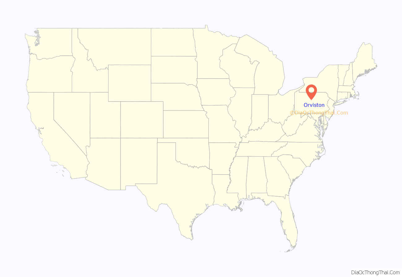
Orviston location map. Where is Orviston CDP?
Orviston Road Map
Orviston city Satellite Map
See also
Map of Pennsylvania State and its subdivision:- Adams
- Allegheny
- Armstrong
- Beaver
- Bedford
- Berks
- Blair
- Bradford
- Bucks
- Butler
- Cambria
- Cameron
- Carbon
- Centre
- Chester
- Clarion
- Clearfield
- Clinton
- Columbia
- Crawford
- Cumberland
- Dauphin
- Delaware
- Elk
- Erie
- Fayette
- Forest
- Franklin
- Fulton
- Greene
- Huntingdon
- Indiana
- Jefferson
- Juniata
- Lackawanna
- Lancaster
- Lawrence
- Lebanon
- Lehigh
- Luzerne
- Lycoming
- Mc Kean
- Mercer
- Mifflin
- Monroe
- Montgomery
- Montour
- Northampton
- Northumberland
- Perry
- Philadelphia
- Pike
- Potter
- Schuylkill
- Snyder
- Somerset
- Sullivan
- Susquehanna
- Tioga
- Union
- Venango
- Warren
- Washington
- Wayne
- Westmoreland
- Wyoming
- York
- Alabama
- Alaska
- Arizona
- Arkansas
- California
- Colorado
- Connecticut
- Delaware
- District of Columbia
- Florida
- Georgia
- Hawaii
- Idaho
- Illinois
- Indiana
- Iowa
- Kansas
- Kentucky
- Louisiana
- Maine
- Maryland
- Massachusetts
- Michigan
- Minnesota
- Mississippi
- Missouri
- Montana
- Nebraska
- Nevada
- New Hampshire
- New Jersey
- New Mexico
- New York
- North Carolina
- North Dakota
- Ohio
- Oklahoma
- Oregon
- Pennsylvania
- Rhode Island
- South Carolina
- South Dakota
- Tennessee
- Texas
- Utah
- Vermont
- Virginia
- Washington
- West Virginia
- Wisconsin
- Wyoming
