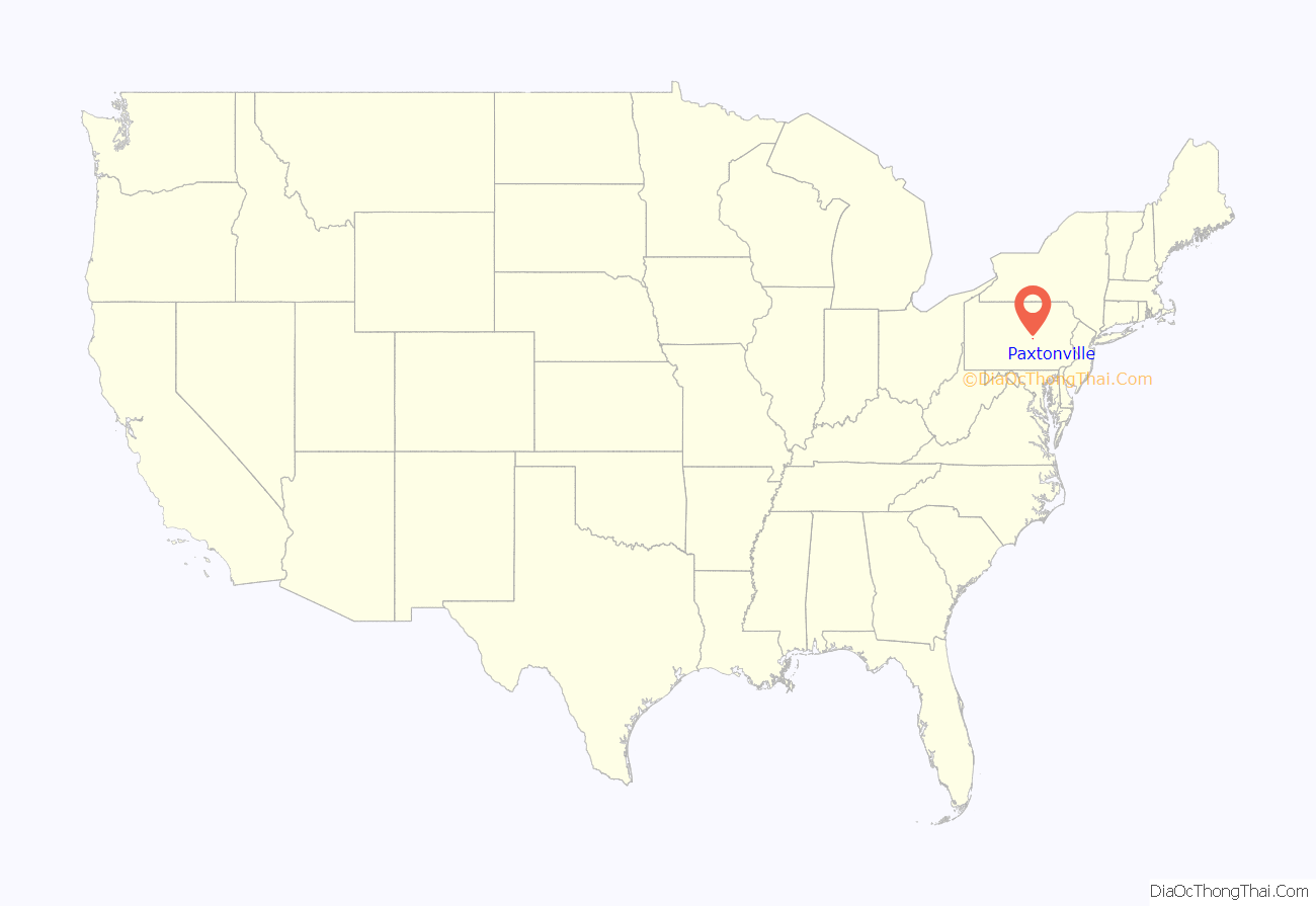
Paxtonville is a census-designated place (CDP) in Snyder County, Pennsylvania, United States. The population was 221 at the 2000 census.
| Name: | Paxtonville CDP |
|---|---|
| LSAD Code: | 57 |
| LSAD Description: | CDP (suffix) |
| State: | Pennsylvania |
| County: | Snyder County |
| Total Area: | 0.88 sq mi (2.27 km²) |
| Land Area: | 0.87 sq mi (2.26 km²) |
| Water Area: | 0.00 sq mi (0.01 km²) |
| Total Population: | 314 |
| Population Density: | 359.68/sq mi (138.94/km²) |
| FIPS code: | 4258536 |
Online Interactive Map
Click on ![]() to view map in "full screen" mode.
to view map in "full screen" mode.
Paxtonville location map. Where is Paxtonville CDP?
History
The village of Paxtonville lies on Middle Creek and is connected to Middleburg, Koonhunter and Beavertown by the Paxtonville Road. Before the road existed connecting the main street, Paxton Street, to Route 522, in use today, the main route ran along the north side of Middle Creek to Royer’s Bridge. Settled in the late 18th century, it was first known as Kern’s Mill and was renamed after Robert Paxton. Just after the Civil War, an iron furnace was built there, but fell into disuse after a relatively short period of time when richer ores were found in the Great Lakes region. In the early years of the 20th century, brick-making was a major industry; this ended in the summer of 1963 when fire destroyed the Paxton Brick Company. A water-powered sawmill and cider press were in operation circa 1900. At various times businesses included a creamery, a restaurant, a cigar factory, a shirt factory, one or two general stores, a movie house, a barbershop, a grist mill and a gunsmith. As of December 2007, the town boasted a church and a feed mill, as well as a community center. The building housing the community center was previously a two-room school house in which instruction was provided for grades 1 through 8. Its last use for this purpose was in the Spring of 1955; after this time pupils were bussed to Middleburg. Around 1890 a school building stood on the north-east corner of Mill Street and the Paxtonville Road.
The soil underlying the village is principally glacial till, but approximately 150 feet west and 50 feet south of the juncture of the Paxtonville Road and Paxton Street, sedimentary rock lies just beneath the soil surface. Stone American Indian artifacts, chiefly arrow and spear points, are to be found at the north edge of town near the bank of Middle Creek. The completion of the Sunbury and Lewistown Railroad in the 1870s connected Paxtonville with these two cities, and for many years a number of daily passenger trains stopped at the Paxtonville station, which was located near the creek. Passenger service ended in the late 1920s, although freight service to Paxtonville area continued into the 1960s. For a short period of time, toward the end of the 19th century, Paxtonville was shown on railroad maps as “Benfer.” A number of the oldest houses are log, but this construction is not evident because they have frame or shingle siding; they date from the early 19th century. As of 2007 there stands on the south side of Maple Avenue, approximately 100 feet west of the intersection with Paxton Street, a house of unusual construction. Built by Gabriel Gill in about 1885, it lacks a frame, but the exterior walls serve this purpose, being constructed of three layers of one inch planks, with the middle layer running at a 90 degree angle to the other two which is one form of vertical plank wall construction.
Over the years most residents have been of Pennsylvania-Dutch ancestry, as witnessed by family names such as Gill, Gift, Graybill, Hassinger, Kerstetter, Oldt, Olmstead/Umstead, Musser, Shaffer, Straub, Walter, and Wenrich. Circa 1900, the cemetery was moved from its position behind the church on the east edge of the village to its modern location on the southwestern edge. Coffins and their contents were carried on horse-drawn wagons. Immediately after World War I, donations from townspeople allowed the construction of the Memorial Hall on the west side of Paxton Street. It served a number of functions, including showing movies. During the era of silent films, these were accompanied by the Paxtonville Orchestra.
Paxtonville Road Map
Paxtonville city Satellite Map
Geography
Paxtonville is located at 40°46′14″N 77°5′8″W / 40.77056°N 77.08556°W / 40.77056; -77.08556 (40.770448, -77.085661).
According to the United States Census Bureau, the CDP has a total area of 0.9 square miles (2.3 km), all land.
See also
Map of Pennsylvania State and its subdivision:- Adams
- Allegheny
- Armstrong
- Beaver
- Bedford
- Berks
- Blair
- Bradford
- Bucks
- Butler
- Cambria
- Cameron
- Carbon
- Centre
- Chester
- Clarion
- Clearfield
- Clinton
- Columbia
- Crawford
- Cumberland
- Dauphin
- Delaware
- Elk
- Erie
- Fayette
- Forest
- Franklin
- Fulton
- Greene
- Huntingdon
- Indiana
- Jefferson
- Juniata
- Lackawanna
- Lancaster
- Lawrence
- Lebanon
- Lehigh
- Luzerne
- Lycoming
- Mc Kean
- Mercer
- Mifflin
- Monroe
- Montgomery
- Montour
- Northampton
- Northumberland
- Perry
- Philadelphia
- Pike
- Potter
- Schuylkill
- Snyder
- Somerset
- Sullivan
- Susquehanna
- Tioga
- Union
- Venango
- Warren
- Washington
- Wayne
- Westmoreland
- Wyoming
- York
- Alabama
- Alaska
- Arizona
- Arkansas
- California
- Colorado
- Connecticut
- Delaware
- District of Columbia
- Florida
- Georgia
- Hawaii
- Idaho
- Illinois
- Indiana
- Iowa
- Kansas
- Kentucky
- Louisiana
- Maine
- Maryland
- Massachusetts
- Michigan
- Minnesota
- Mississippi
- Missouri
- Montana
- Nebraska
- Nevada
- New Hampshire
- New Jersey
- New Mexico
- New York
- North Carolina
- North Dakota
- Ohio
- Oklahoma
- Oregon
- Pennsylvania
- Rhode Island
- South Carolina
- South Dakota
- Tennessee
- Texas
- Utah
- Vermont
- Virginia
- Washington
- West Virginia
- Wisconsin
- Wyoming
