Pleasantville, also known as Alum Bank, is a borough in Bedford County, Pennsylvania, United States. The population was 195 at the 2020 census.
| Name: | Pleasantville borough |
|---|---|
| LSAD Code: | 21 |
| LSAD Description: | borough (suffix) |
| State: | Pennsylvania |
| County: | Bedford County |
| Incorporated: | 1871 |
| Elevation: | 1,437 ft (438 m) |
| Total Area: | 0.07 sq mi (0.19 km²) |
| Land Area: | 0.07 sq mi (0.19 km²) |
| Water Area: | 0.00 sq mi (0.00 km²) |
| Total Population: | 191 |
| Population Density: | 2,581.08/sq mi (994.46/km²) |
| Area code: | 814 |
| FIPS code: | 4261496 |
| GNISfeature ID: | 1214902 |
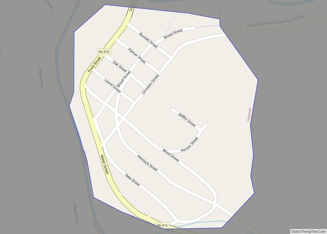
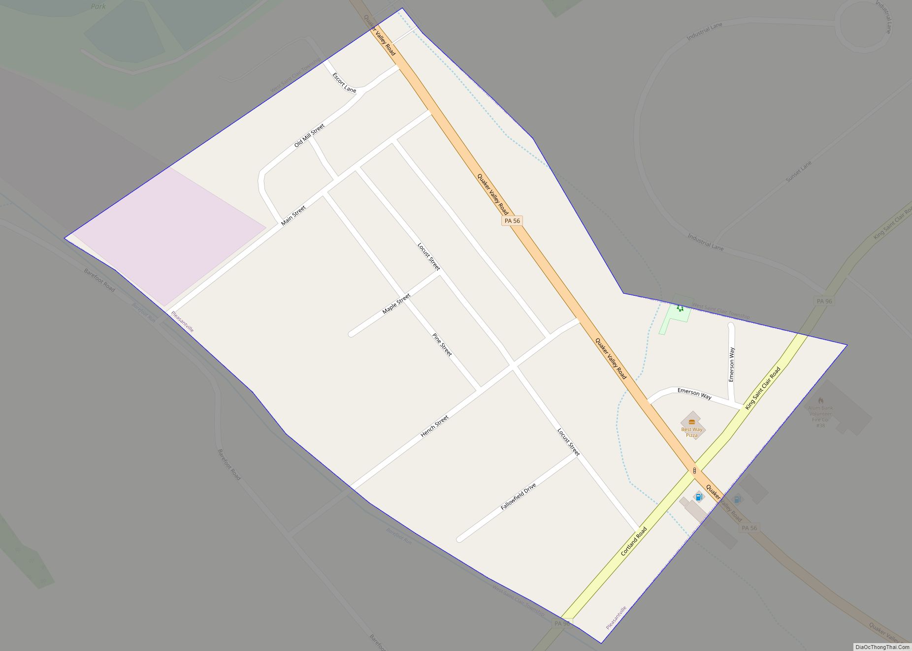
Online Interactive Map
Click on ![]() to view map in "full screen" mode.
to view map in "full screen" mode.
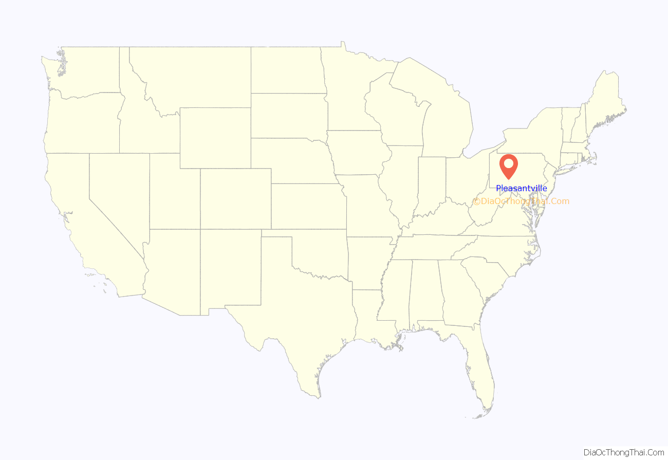
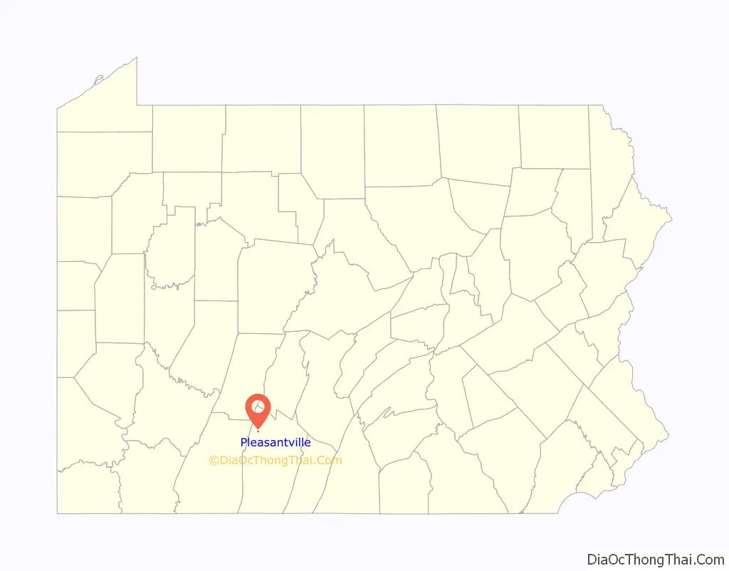
Pleasantville location map. Where is Pleasantville borough?
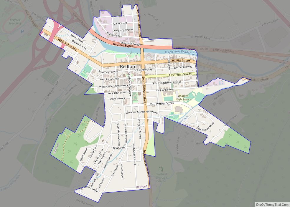
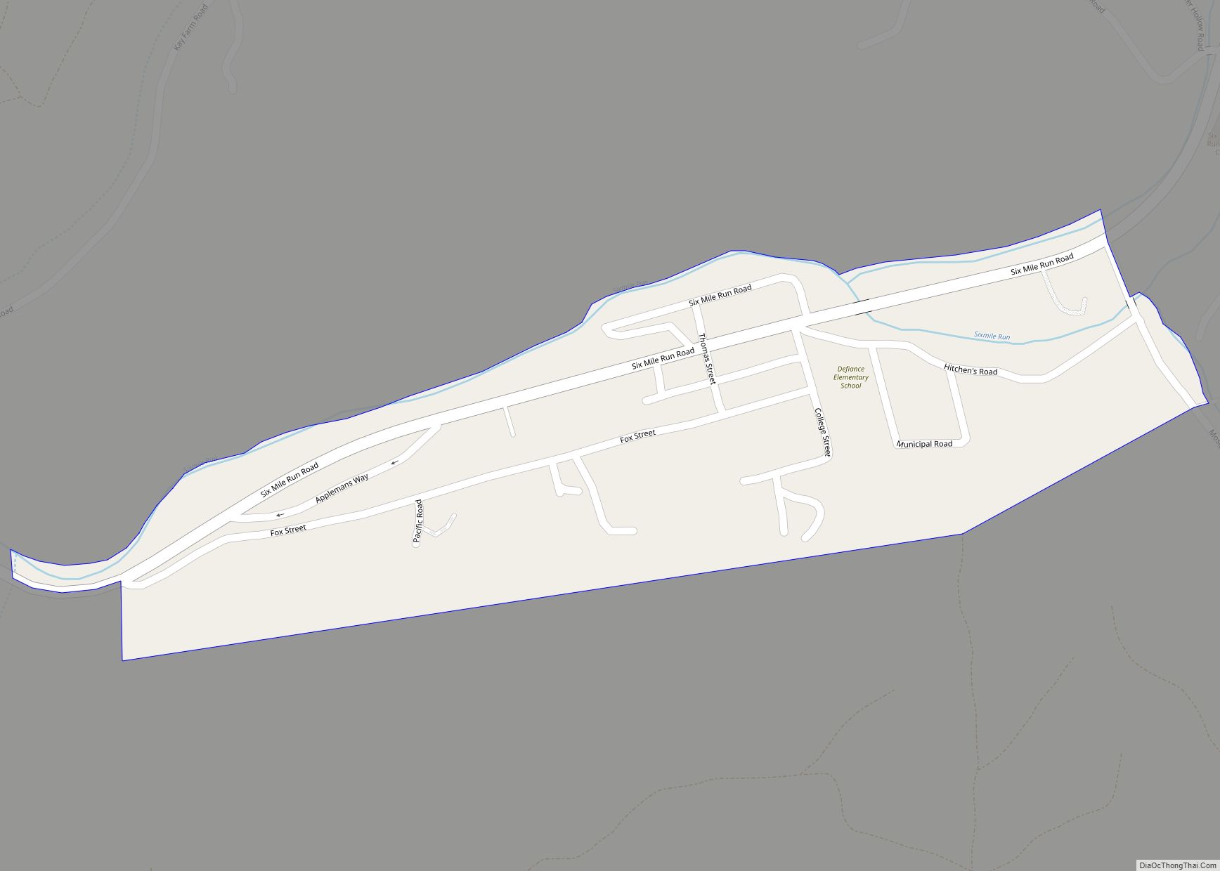
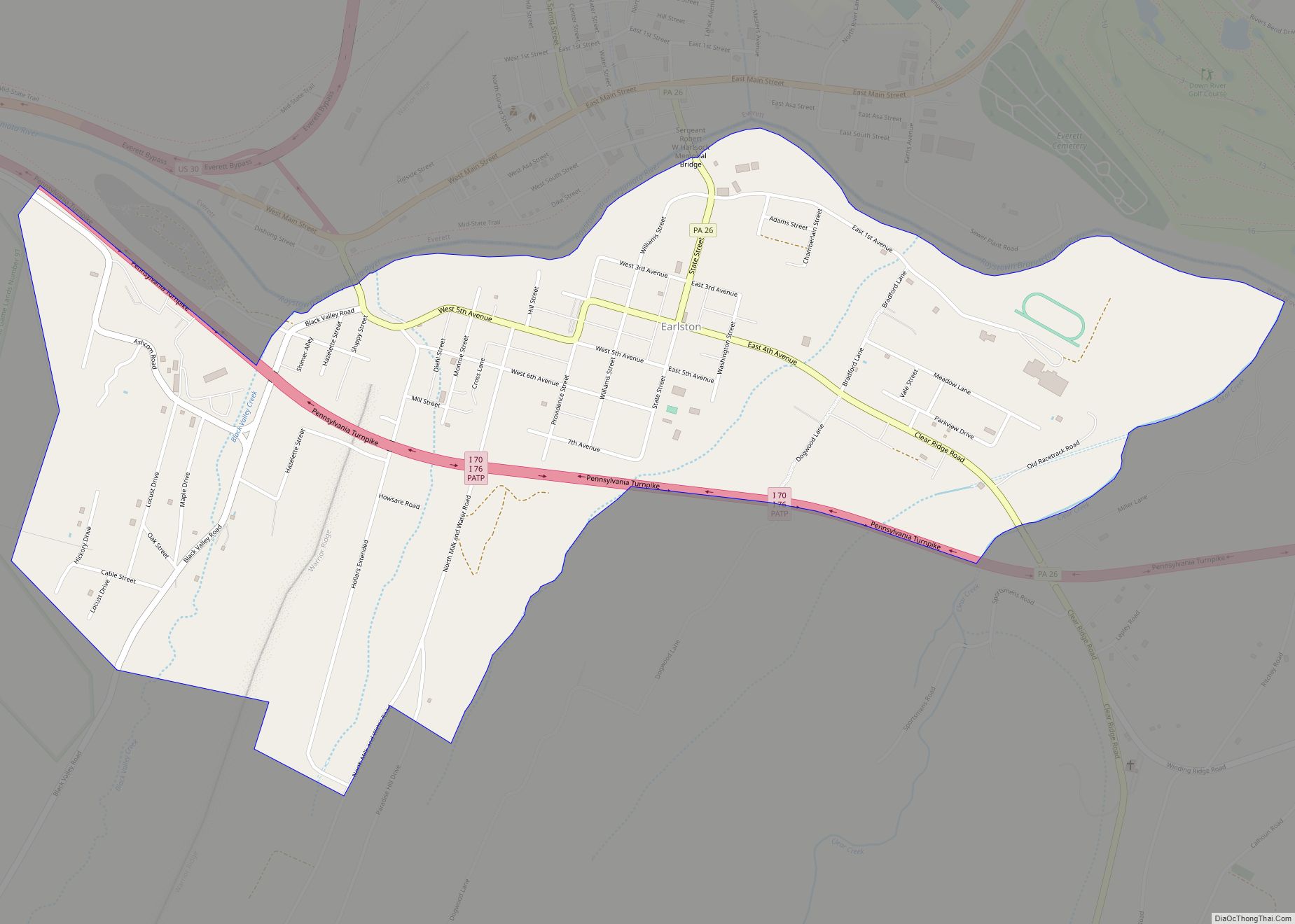
Pleasantville Road Map
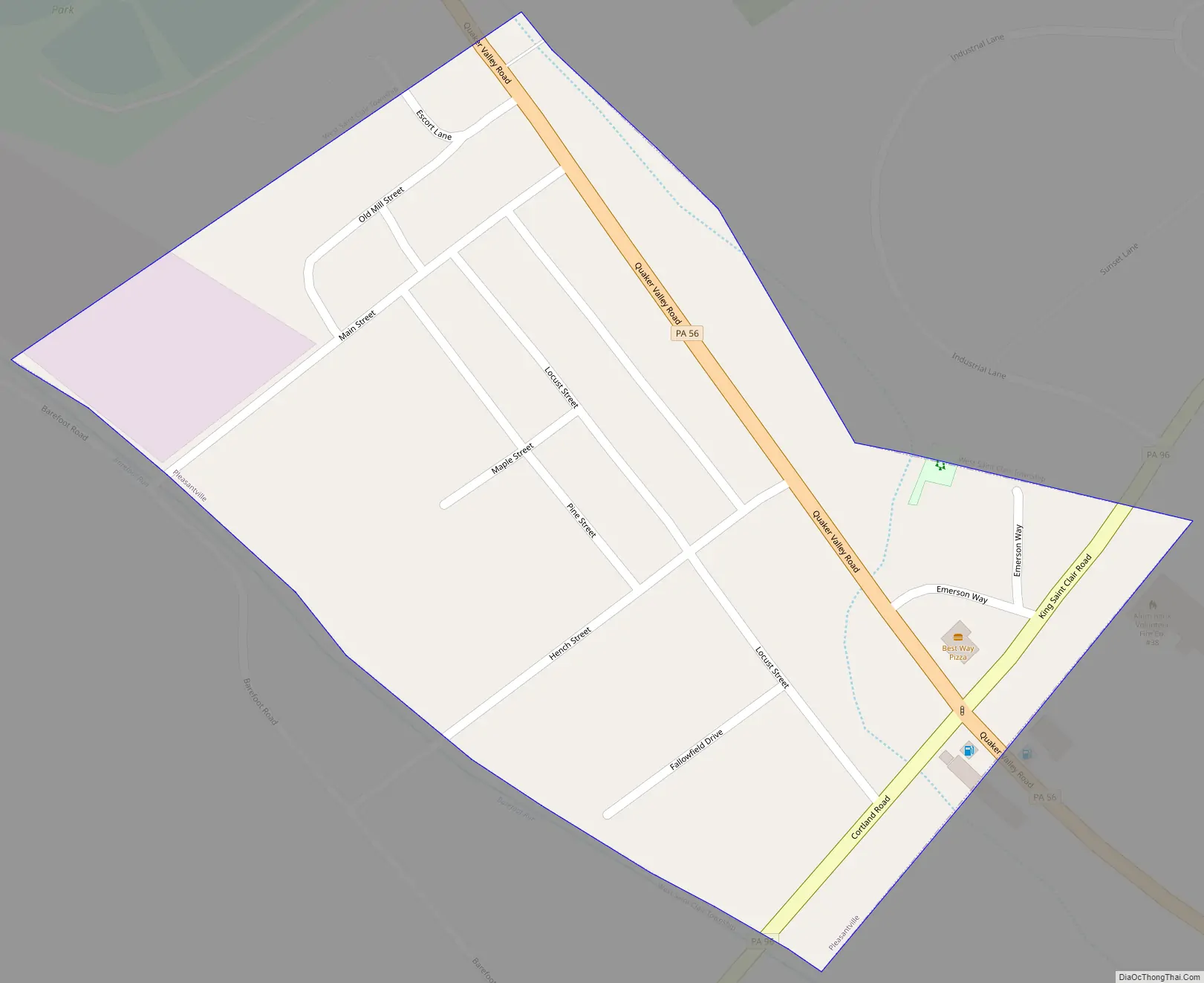
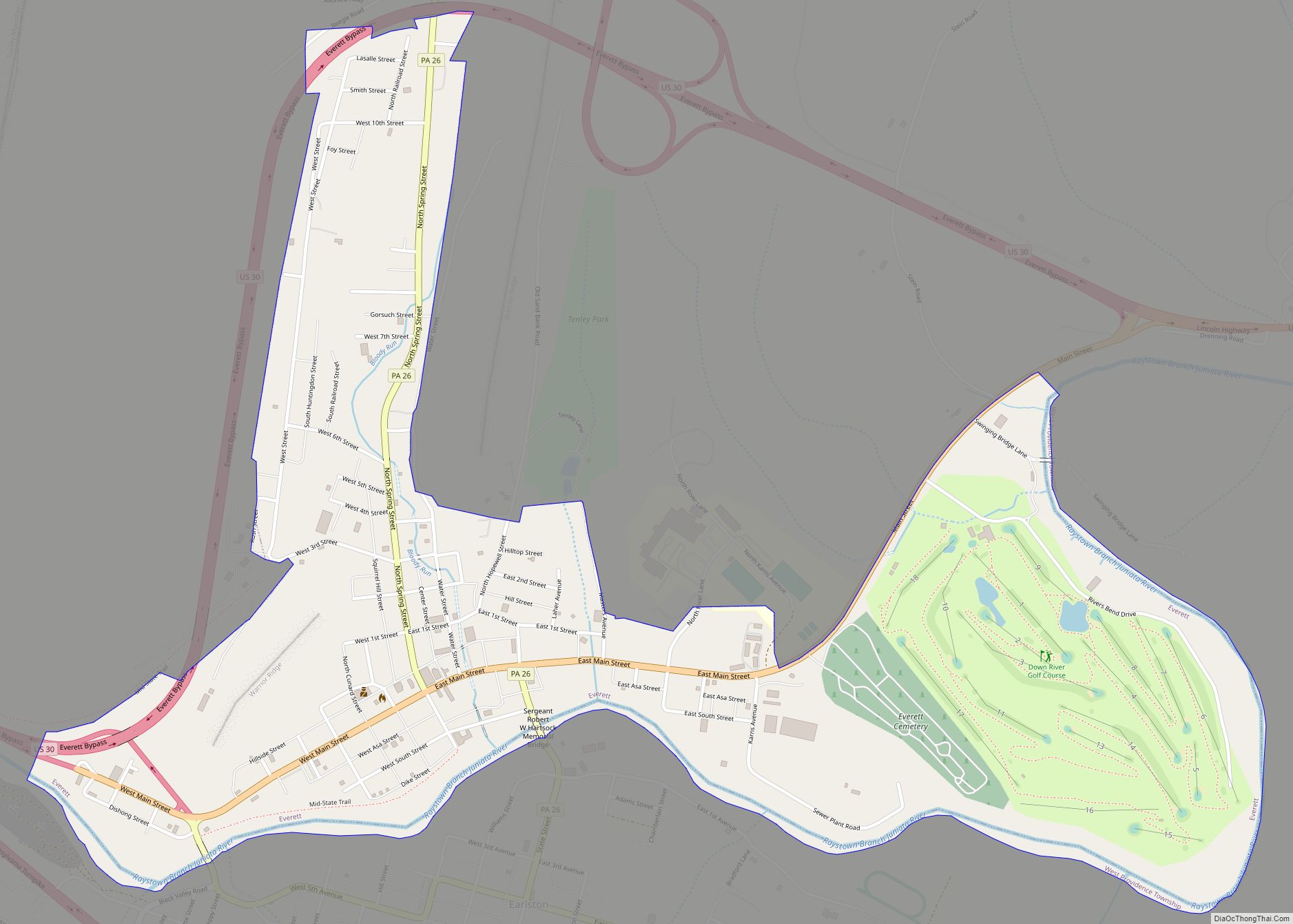
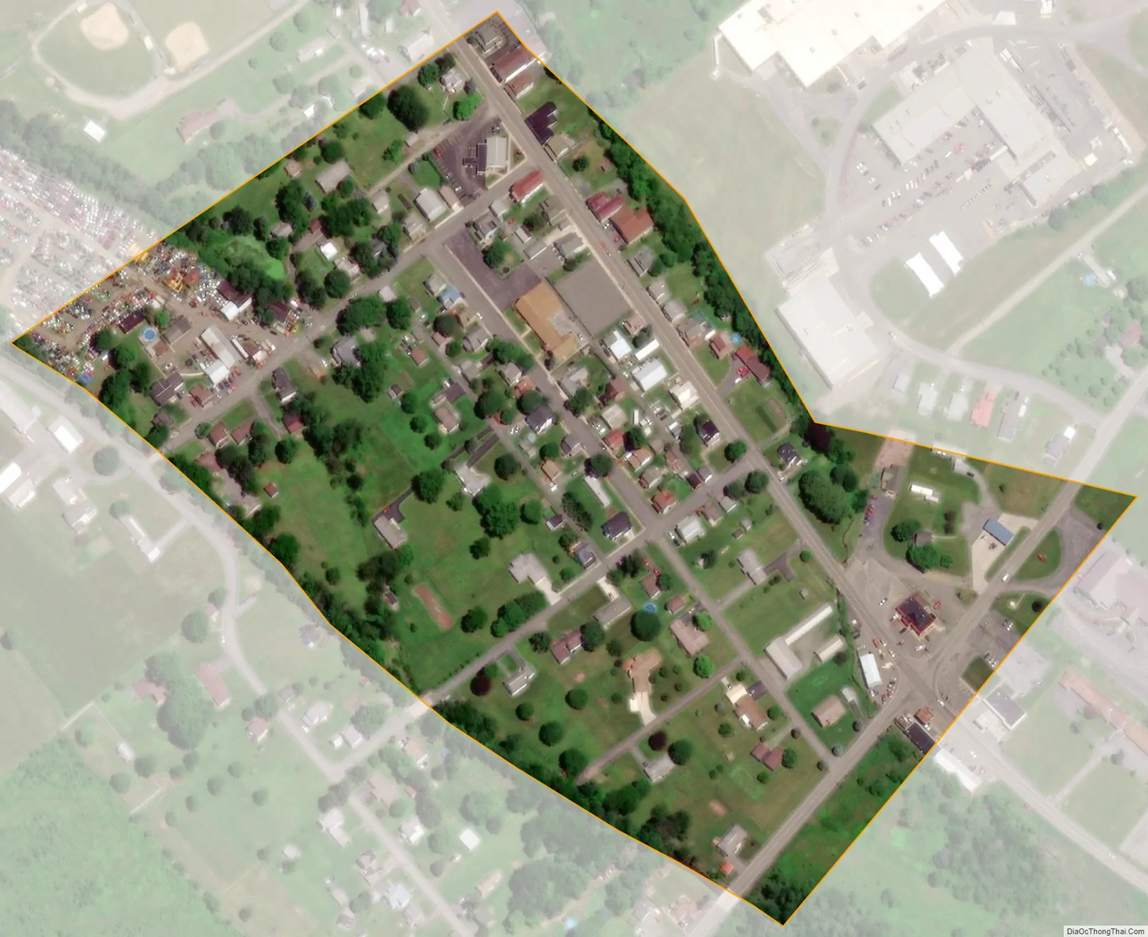
Pleasantville city Satellite Map
Geography
Pleasantville is located in northwestern Bedford County at 40°10′46″N 78°36′48″W / 40.17944°N 78.61333°W / 40.17944; -78.61333 (40.179581, -78.613315). It lies at the northern end of Chestnut Ridge.
Pennsylvania Route 56 passes through the borough, leading southeast 14 miles (23 km) to Bedford, the county seat, and northwestward over the Allegheny Front 24 miles (39 km) to Johnstown. Pennsylvania Route 96 leads south from Pleasantville 10 miles (16 km) to Schellsburg.
According to the United States Census Bureau, Pleasantville has a total area of 0.073 square miles (0.19 km), all land.
See also
Map of Pennsylvania State and its subdivision:- Adams
- Allegheny
- Armstrong
- Beaver
- Bedford
- Berks
- Blair
- Bradford
- Bucks
- Butler
- Cambria
- Cameron
- Carbon
- Centre
- Chester
- Clarion
- Clearfield
- Clinton
- Columbia
- Crawford
- Cumberland
- Dauphin
- Delaware
- Elk
- Erie
- Fayette
- Forest
- Franklin
- Fulton
- Greene
- Huntingdon
- Indiana
- Jefferson
- Juniata
- Lackawanna
- Lancaster
- Lawrence
- Lebanon
- Lehigh
- Luzerne
- Lycoming
- Mc Kean
- Mercer
- Mifflin
- Monroe
- Montgomery
- Montour
- Northampton
- Northumberland
- Perry
- Philadelphia
- Pike
- Potter
- Schuylkill
- Snyder
- Somerset
- Sullivan
- Susquehanna
- Tioga
- Union
- Venango
- Warren
- Washington
- Wayne
- Westmoreland
- Wyoming
- York
- Alabama
- Alaska
- Arizona
- Arkansas
- California
- Colorado
- Connecticut
- Delaware
- District of Columbia
- Florida
- Georgia
- Hawaii
- Idaho
- Illinois
- Indiana
- Iowa
- Kansas
- Kentucky
- Louisiana
- Maine
- Maryland
- Massachusetts
- Michigan
- Minnesota
- Mississippi
- Missouri
- Montana
- Nebraska
- Nevada
- New Hampshire
- New Jersey
- New Mexico
- New York
- North Carolina
- North Dakota
- Ohio
- Oklahoma
- Oregon
- Pennsylvania
- Rhode Island
- South Carolina
- South Dakota
- Tennessee
- Texas
- Utah
- Vermont
- Virginia
- Washington
- West Virginia
- Wisconsin
- Wyoming