Red Hill is a borough in Montgomery County, Pennsylvania, United States. It is primarily a lakeshore, lowlands, suburban community northwest of Philadelphia in the Delaware River Valley watershed, as is the balance of its county. Its population was 2,383 at the 2010 census.
Red Hill is served by the Upper Perkiomen School District. It is also part of the strip of small towns that run together along Route 29, Red Hill, Pennsburg, and East Greenville, colloquially known as Red Pennsville. The town is named after the large amounts of red shale in the soil and ground layers of the hill.
| Name: | Red Hill borough |
|---|---|
| LSAD Code: | 21 |
| LSAD Description: | borough (suffix) |
| State: | Pennsylvania |
| County: | Montgomery County |
| Elevation: | 358 ft (109 m) |
| Total Area: | 0.67 sq mi (1.73 km²) |
| Land Area: | 0.67 sq mi (1.73 km²) |
| Water Area: | 0.00 sq mi (0.00 km²) |
| Total Population: | 2,496 |
| Population Density: | 3,742.13/sq mi (1,443.77/km²) |
| FIPS code: | 4263808 |
| Website: | https://www.redhillborough.org/ |
Online Interactive Map
Click on ![]() to view map in "full screen" mode.
to view map in "full screen" mode.
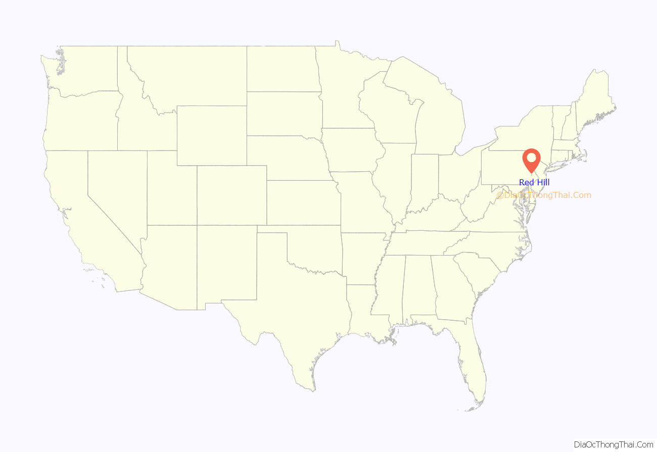
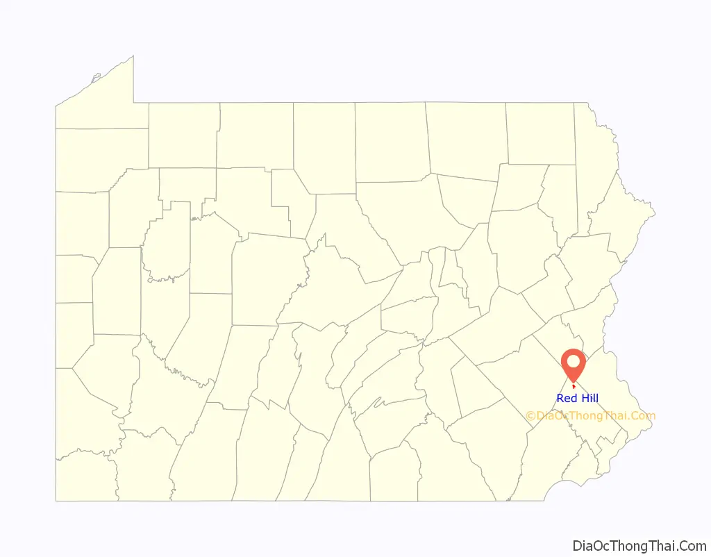
Red Hill location map. Where is Red Hill borough?
History
The Red Hill Historic District was added to the National Register of Historic Places in 1985.
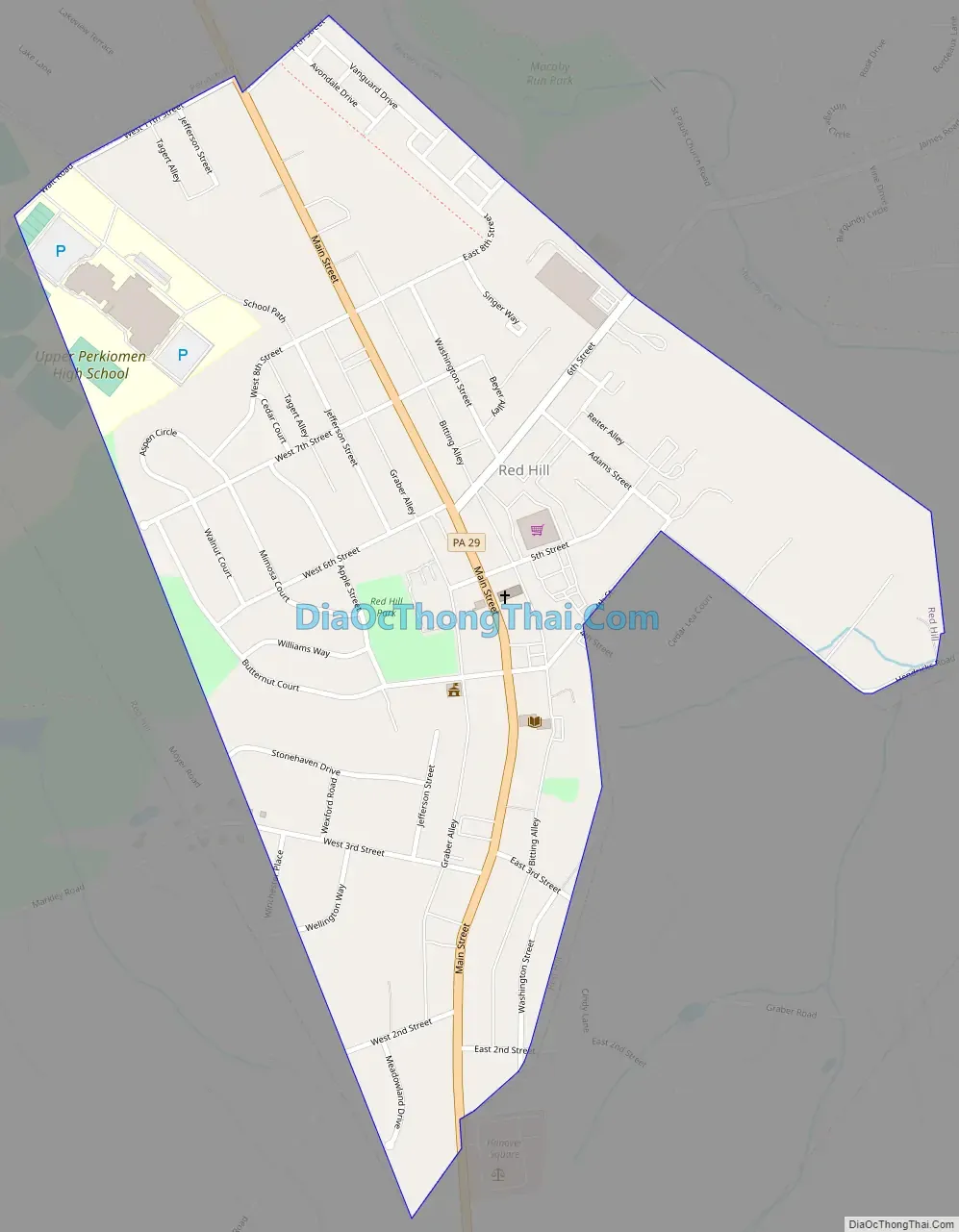
Red Hill Road Map
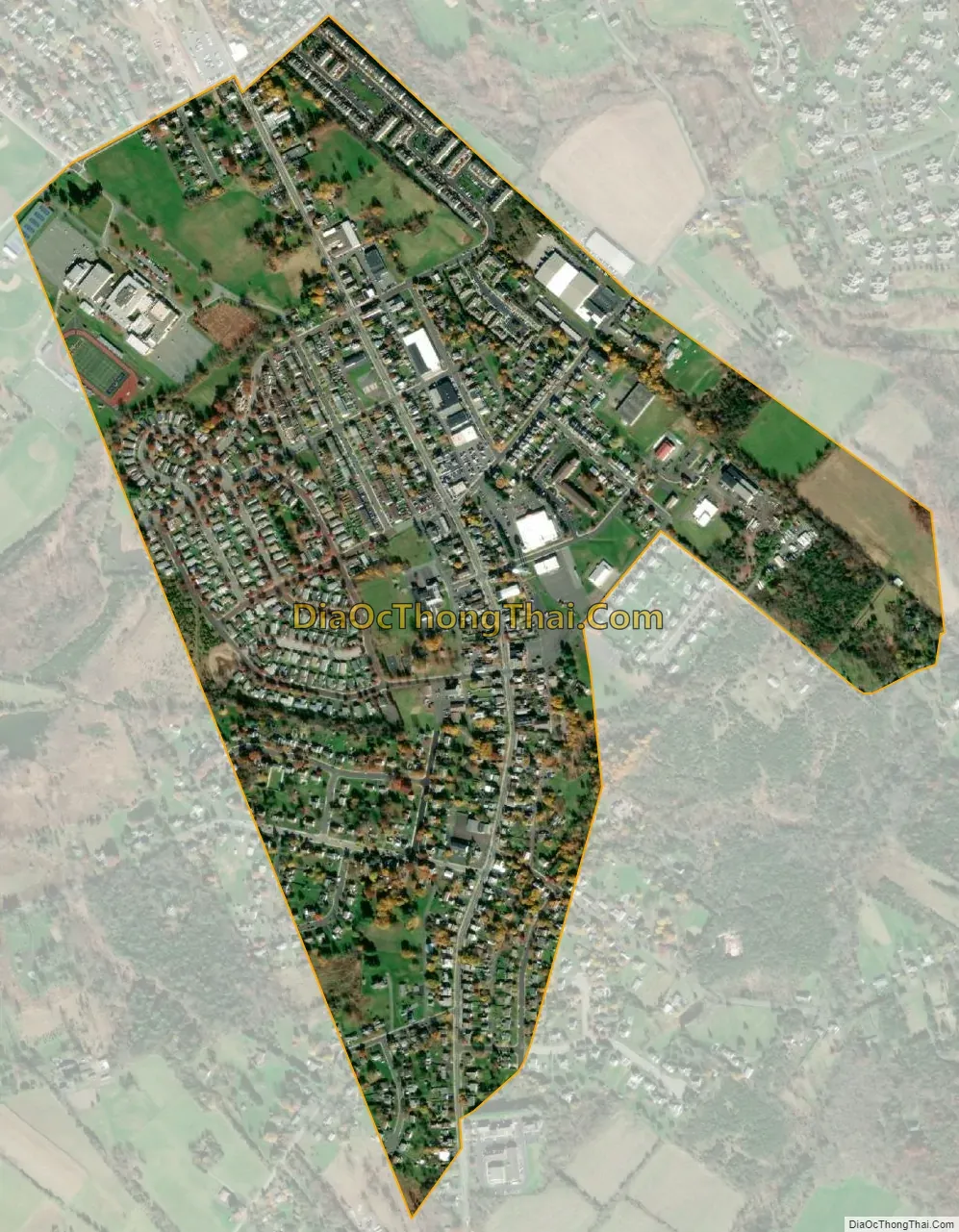
Red Hill city Satellite Map
Geography
Red Hill is located at 40°22′35″N 75°29′4″W / 40.37639°N 75.48444°W / 40.37639; -75.48444 (40.376288, -75.484308). According to the U.S. Census Bureau, the borough has a total area of 0.7 square miles (1.8 km), all land.
See also
Map of Pennsylvania State and its subdivision:- Adams
- Allegheny
- Armstrong
- Beaver
- Bedford
- Berks
- Blair
- Bradford
- Bucks
- Butler
- Cambria
- Cameron
- Carbon
- Centre
- Chester
- Clarion
- Clearfield
- Clinton
- Columbia
- Crawford
- Cumberland
- Dauphin
- Delaware
- Elk
- Erie
- Fayette
- Forest
- Franklin
- Fulton
- Greene
- Huntingdon
- Indiana
- Jefferson
- Juniata
- Lackawanna
- Lancaster
- Lawrence
- Lebanon
- Lehigh
- Luzerne
- Lycoming
- Mc Kean
- Mercer
- Mifflin
- Monroe
- Montgomery
- Montour
- Northampton
- Northumberland
- Perry
- Philadelphia
- Pike
- Potter
- Schuylkill
- Snyder
- Somerset
- Sullivan
- Susquehanna
- Tioga
- Union
- Venango
- Warren
- Washington
- Wayne
- Westmoreland
- Wyoming
- York
- Alabama
- Alaska
- Arizona
- Arkansas
- California
- Colorado
- Connecticut
- Delaware
- District of Columbia
- Florida
- Georgia
- Hawaii
- Idaho
- Illinois
- Indiana
- Iowa
- Kansas
- Kentucky
- Louisiana
- Maine
- Maryland
- Massachusetts
- Michigan
- Minnesota
- Mississippi
- Missouri
- Montana
- Nebraska
- Nevada
- New Hampshire
- New Jersey
- New Mexico
- New York
- North Carolina
- North Dakota
- Ohio
- Oklahoma
- Oregon
- Pennsylvania
- Rhode Island
- South Carolina
- South Dakota
- Tennessee
- Texas
- Utah
- Vermont
- Virginia
- Washington
- West Virginia
- Wisconsin
- Wyoming


