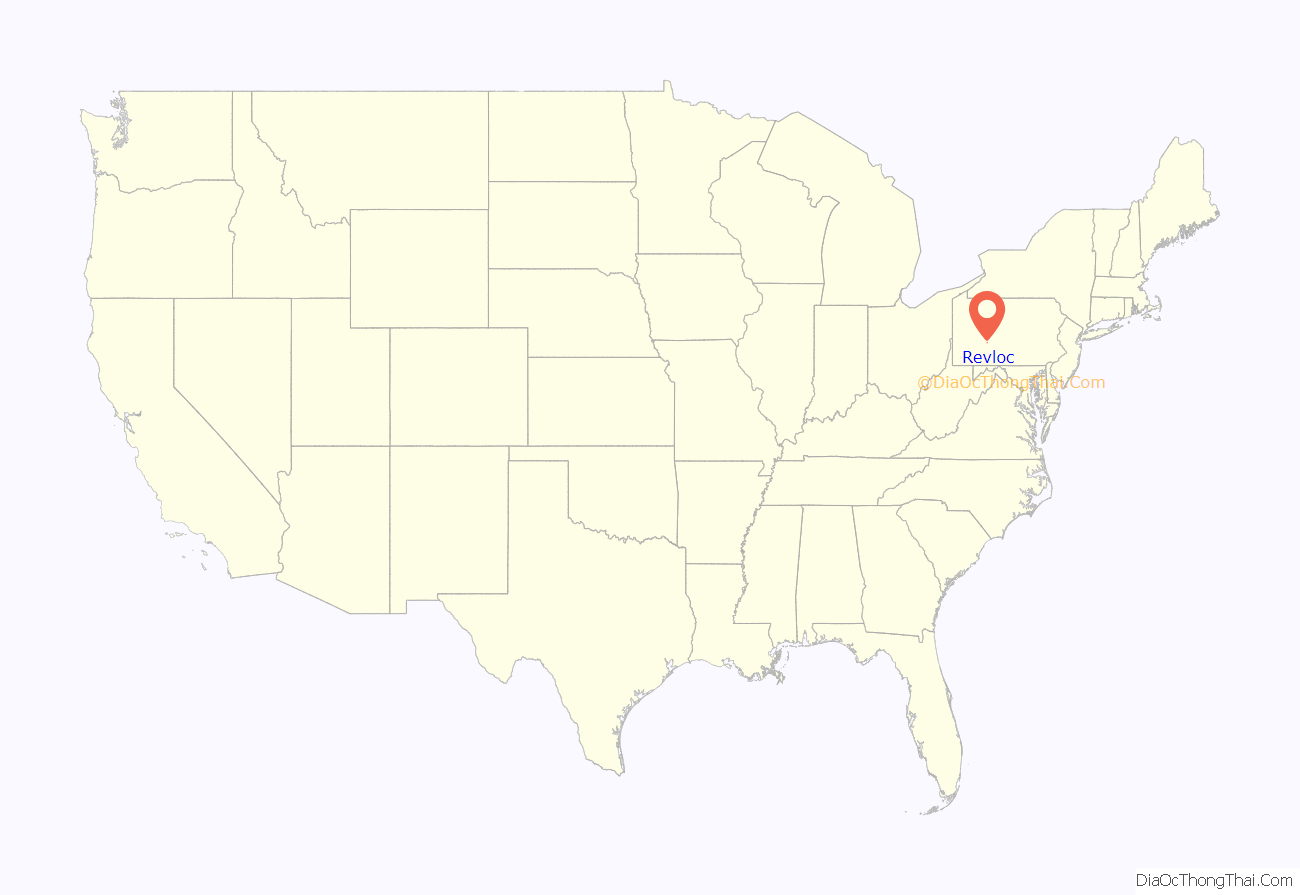
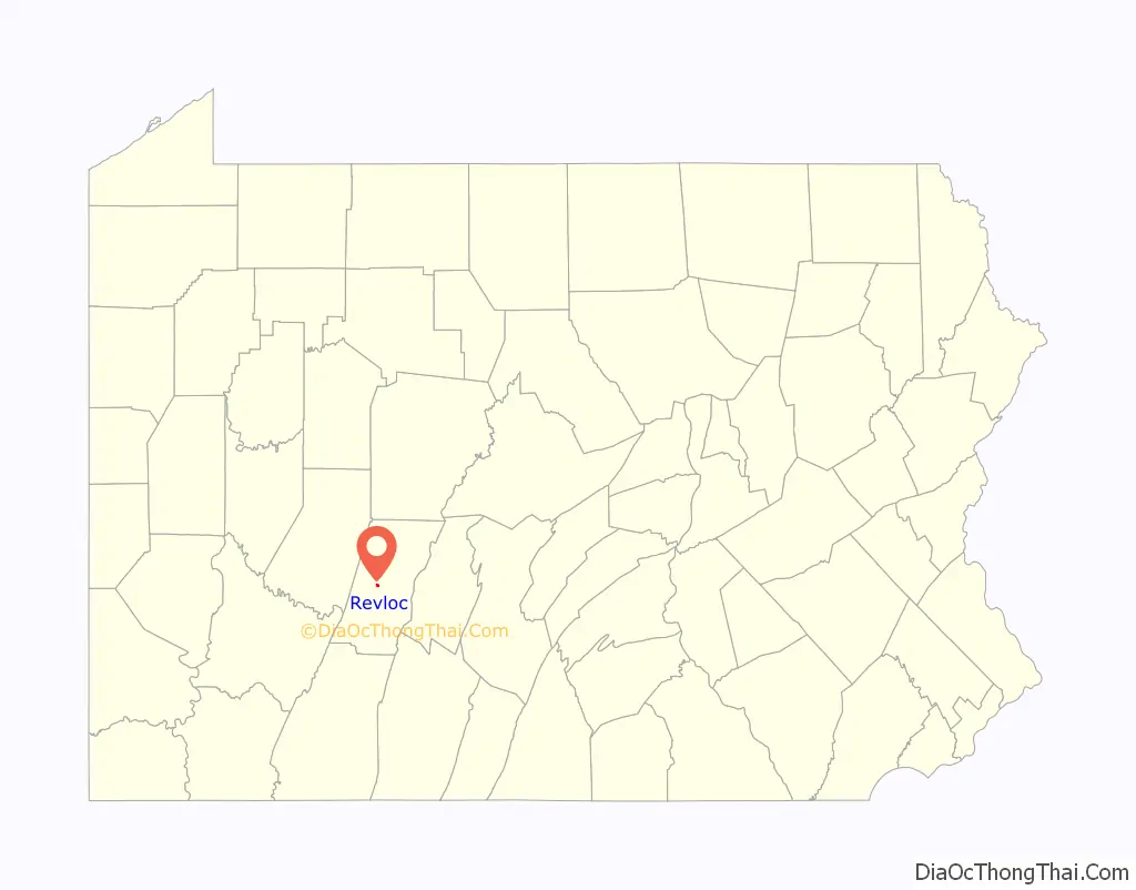
Revloc is an unincorporated community and census-designated place in Cambria Township, Cambria County, Pennsylvania, United States. It is located near the intersections of US Routes 422 and 219, and is approximately 2 miles (3 km) west of the borough of Ebensburg, the Cambria County seat. As of the 2010 census, the population of Revloc was 570.
“Revloc” is the reverse-spelling of neighboring community Colver.
| Name: | Revloc CDP |
|---|---|
| LSAD Code: | 57 |
| LSAD Description: | CDP (suffix) |
| State: | Pennsylvania |
| County: | Cambria County |
| Elevation: | 2,060 ft (630 m) |
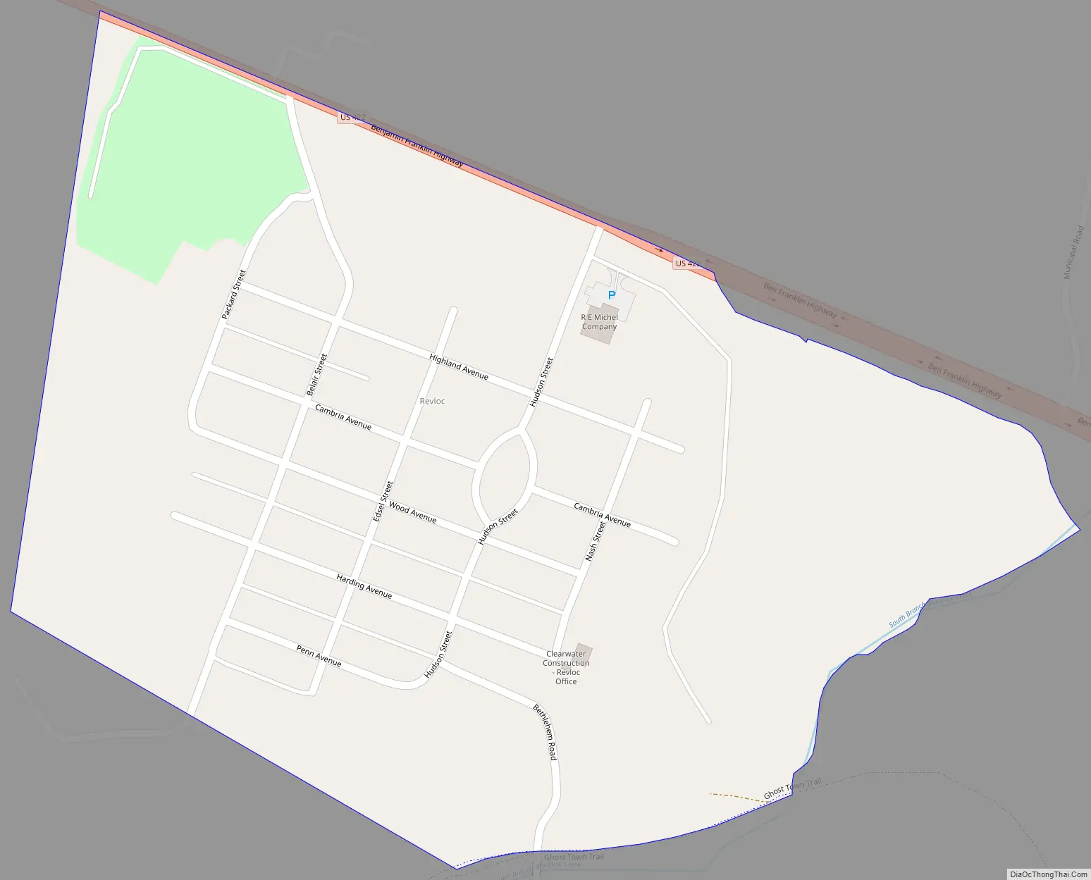
| Total Area: | 0.34 sq mi (0.89 km²) |
| Land Area: | 0.34 sq mi (0.89 km²) |
| Water Area: | 0.0 sq mi (0.0 km²) |
| Total Population: | 570 |
| Population Density: | 1,659/sq mi (640.4/km²) |
| ZIP code: | 15948 |
| FIPS code: | 4264288 |
| GNISfeature ID: | 1184954 |
Online Interactive Map
Click on ![]() to view map in "full screen" mode.
to view map in "full screen" mode.
Revloc location map. Where is Revloc CDP?
History
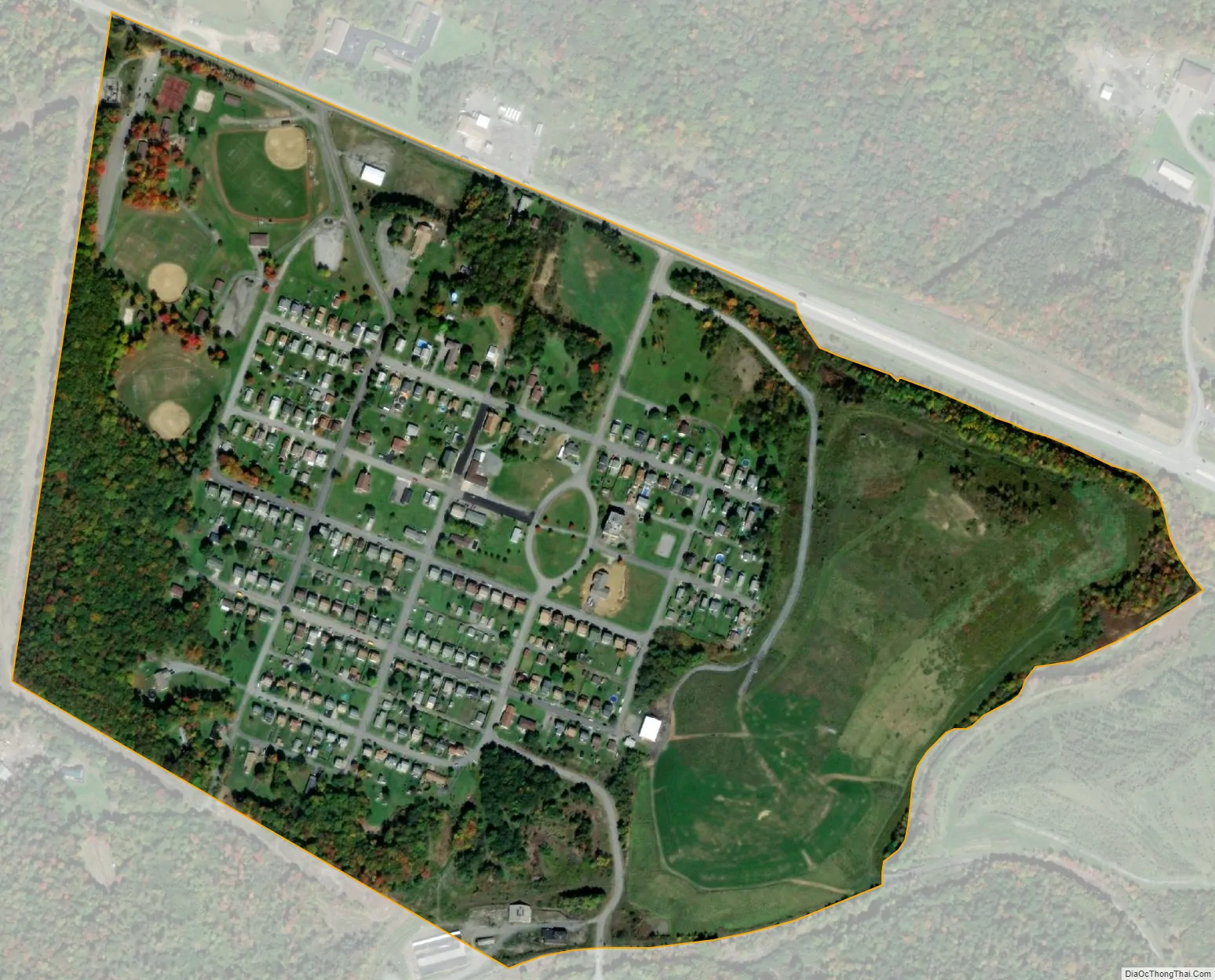
The Revloc mine, located south of the community, was originally constructed by the Monroe Coal Company (also known as the Coleman & Weaver Company) in 1916–1917. These mines later fell under the authority of Bethlehem Mining (BethEnergy), which operated them until the 1980s. In 1978, the Beaver County Times announced plans to reopen the mines after more than one year of closure, following a fire that resulted in over $10 million in losses. The original structures of the Revloc mines are still in existence, including a boiler house, an office building, and a red brick 1940s-era bathhouse.
The community of Revloc was founded in 1917 as a coal patch town to house the workers of the mines. The community was home to a notable amount of Eastern European immigrants, including those from Ukraine and Poland.
Revloc Road Map
Revloc city Satellite Map
See also
Map of Pennsylvania State and its subdivision:- Adams
- Allegheny
- Armstrong
- Beaver
- Bedford
- Berks
- Blair
- Bradford
- Bucks
- Butler
- Cambria
- Cameron
- Carbon
- Centre
- Chester
- Clarion
- Clearfield
- Clinton
- Columbia
- Crawford
- Cumberland
- Dauphin
- Delaware
- Elk
- Erie
- Fayette
- Forest
- Franklin
- Fulton
- Greene
- Huntingdon
- Indiana
- Jefferson
- Juniata
- Lackawanna
- Lancaster
- Lawrence
- Lebanon
- Lehigh
- Luzerne
- Lycoming
- Mc Kean
- Mercer
- Mifflin
- Monroe
- Montgomery
- Montour
- Northampton
- Northumberland
- Perry
- Philadelphia
- Pike
- Potter
- Schuylkill
- Snyder
- Somerset
- Sullivan
- Susquehanna
- Tioga
- Union
- Venango
- Warren
- Washington
- Wayne
- Westmoreland
- Wyoming
- York
- Alabama
- Alaska
- Arizona
- Arkansas
- California
- Colorado
- Connecticut
- Delaware
- District of Columbia
- Florida
- Georgia
- Hawaii
- Idaho
- Illinois
- Indiana
- Iowa
- Kansas
- Kentucky
- Louisiana
- Maine
- Maryland
- Massachusetts
- Michigan
- Minnesota
- Mississippi
- Missouri
- Montana
- Nebraska
- Nevada
- New Hampshire
- New Jersey
- New Mexico
- New York
- North Carolina
- North Dakota
- Ohio
- Oklahoma
- Oregon
- Pennsylvania
- Rhode Island
- South Carolina
- South Dakota
- Tennessee
- Texas
- Utah
- Vermont
- Virginia
- Washington
- West Virginia
- Wisconsin
- Wyoming


