Robesonia is a borough in Berks County, Pennsylvania, United States. The population was 2,061 at the 2010 census. Once famous for its iron furnaces (c. 1794–1927), the town was founded in 1855 by Henry P. Robeson, who had acquired existing iron manufacturing operations and founded the Robesonia Iron Company in 1845. The town is now supported by large industry. Several of the largest employers include C&S Wholesale Grocers, a food distributor, Magnatech International, and Snap-On Tools. The town is also famous for its Pennsylvania German-style pottery, also sometimes called redware. The Robesonia area is served by the Conrad Weiser Area School District and Conrad Weiser High School.
The Robesonia Furnace Historic District was listed on the National Register of Historic Places in 1991.
| Name: | Robesonia borough |
|---|---|
| LSAD Code: | 21 |
| LSAD Description: | borough (suffix) |
| State: | Pennsylvania |
| County: | Berks County |
| Elevation: | 433 ft (132 m) |
| Total Area: | 0.89 sq mi (2.31 km²) |
| Land Area: | 0.89 sq mi (2.31 km²) |
| Water Area: | 0.00 sq mi (0.01 km²) |
| Total Population: | 2,061 |
| Population Density: | 2,319.87/sq mi (895.84/km²) |
| ZIP code: | 19551 |
| Area code: | 610 |
| FIPS code: | 4265336 |
| Website: | www.robesoniaboro.org |
Online Interactive Map
Click on ![]() to view map in "full screen" mode.
to view map in "full screen" mode.
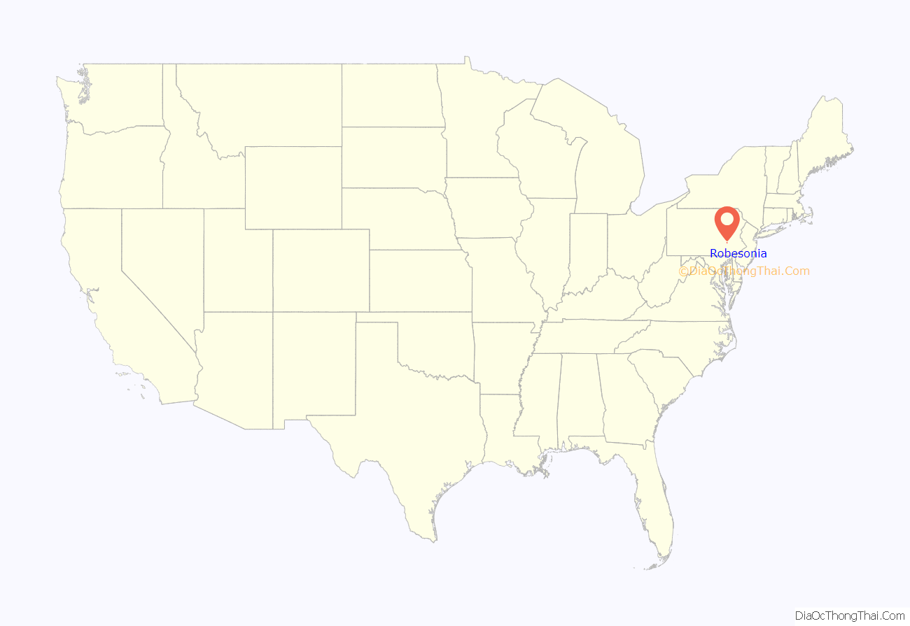
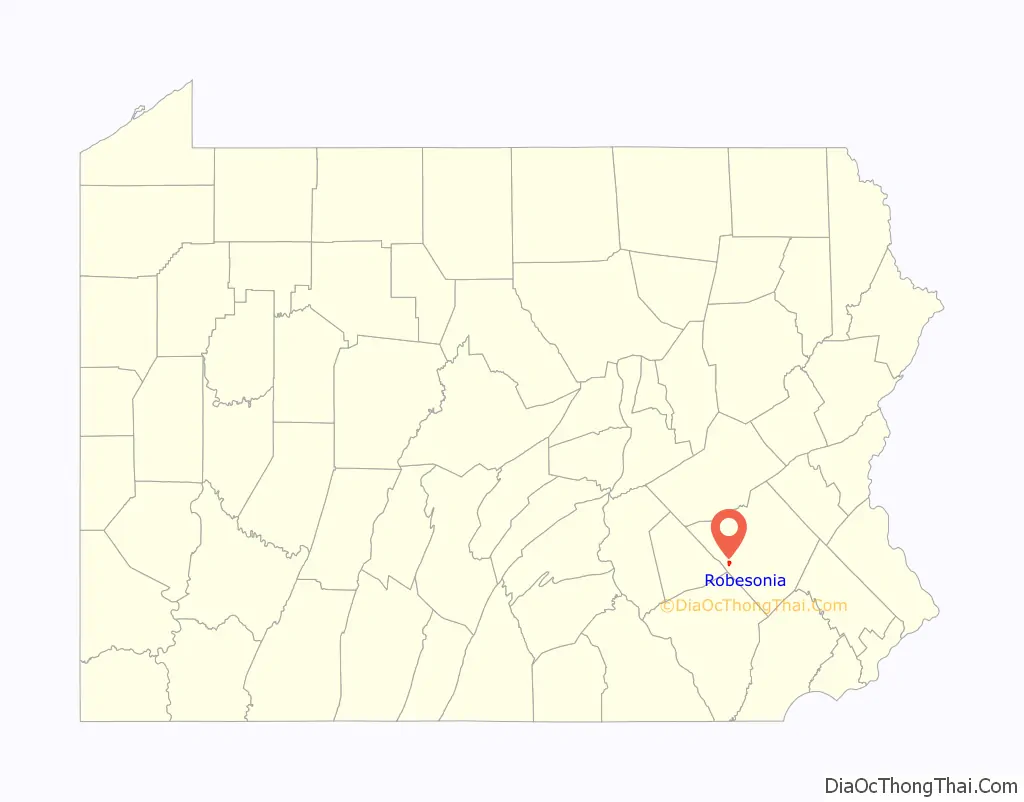
Robesonia location map. Where is Robesonia borough?
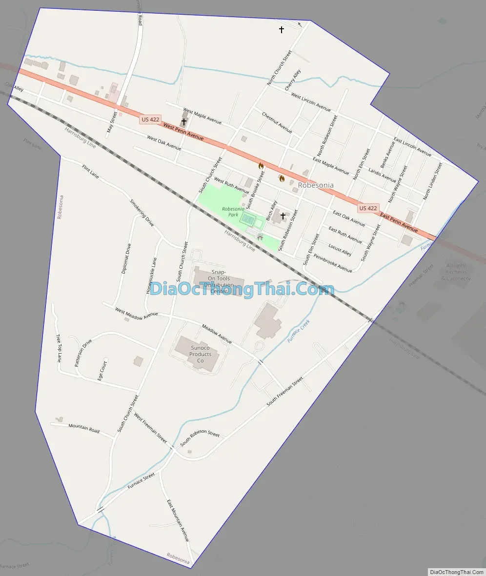
Robesonia Road Map
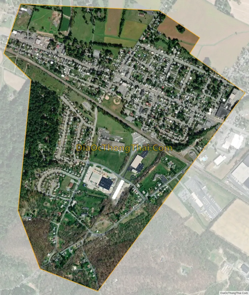
Robesonia city Satellite Map
Geography
Robesonia is located in western Berks County at 40°21′6″N 76°8′12″W / 40.35167°N 76.13667°W / 40.35167; -76.13667 (40.351539, -76.136538). It is surrounded by Heidelberg Township but separate from it.
According to the United States Census Bureau, the borough has a total area of 0.9 square miles (2.3 km), all land. Robesonia has a hot-summer humid continental climate with monthly averages ranging from 29.3 °F in January to 74.2 °F in July. [1] The local hardiness zone is 6b.
See also
Map of Pennsylvania State and its subdivision:- Adams
- Allegheny
- Armstrong
- Beaver
- Bedford
- Berks
- Blair
- Bradford
- Bucks
- Butler
- Cambria
- Cameron
- Carbon
- Centre
- Chester
- Clarion
- Clearfield
- Clinton
- Columbia
- Crawford
- Cumberland
- Dauphin
- Delaware
- Elk
- Erie
- Fayette
- Forest
- Franklin
- Fulton
- Greene
- Huntingdon
- Indiana
- Jefferson
- Juniata
- Lackawanna
- Lancaster
- Lawrence
- Lebanon
- Lehigh
- Luzerne
- Lycoming
- Mc Kean
- Mercer
- Mifflin
- Monroe
- Montgomery
- Montour
- Northampton
- Northumberland
- Perry
- Philadelphia
- Pike
- Potter
- Schuylkill
- Snyder
- Somerset
- Sullivan
- Susquehanna
- Tioga
- Union
- Venango
- Warren
- Washington
- Wayne
- Westmoreland
- Wyoming
- York
- Alabama
- Alaska
- Arizona
- Arkansas
- California
- Colorado
- Connecticut
- Delaware
- District of Columbia
- Florida
- Georgia
- Hawaii
- Idaho
- Illinois
- Indiana
- Iowa
- Kansas
- Kentucky
- Louisiana
- Maine
- Maryland
- Massachusetts
- Michigan
- Minnesota
- Mississippi
- Missouri
- Montana
- Nebraska
- Nevada
- New Hampshire
- New Jersey
- New Mexico
- New York
- North Carolina
- North Dakota
- Ohio
- Oklahoma
- Oregon
- Pennsylvania
- Rhode Island
- South Carolina
- South Dakota
- Tennessee
- Texas
- Utah
- Vermont
- Virginia
- Washington
- West Virginia
- Wisconsin
- Wyoming


