Rockwood is a borough in Somerset County, Pennsylvania, United States. The population was 850 at the 2020 census. It is part of the Johnstown, Pennsylvania, Metropolitan Statistical Area, and located due north of Pennsylvania’s highest peak, Mount Davis, which significantly constricts land travel routing south of the municipality.
| Name: | Rockwood borough |
|---|---|
| LSAD Code: | 21 |
| LSAD Description: | borough (suffix) |
| State: | Pennsylvania |
| County: | Somerset County |
| Incorporated: | 1885 |
| Elevation: | 1,837 ft (560 m) |
| Total Area: | 0.33 sq mi (0.87 km²) |
| Land Area: | 0.33 sq mi (0.87 km²) |
| Water Area: | 0.00 sq mi (0.00 km²) |
| Total Population: | 850 |
| Population Density: | 2,455.09/sq mi (947.69/km²) |
| Area code: | 814 |
| FIPS code: | 4265736 |
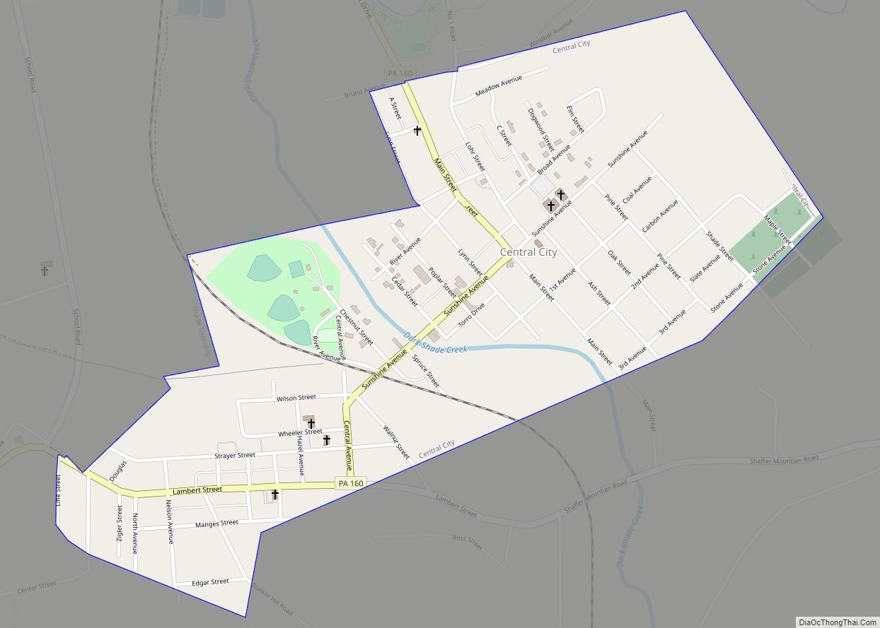
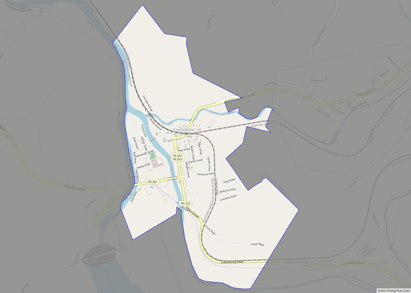
Online Interactive Map
Click on ![]() to view map in "full screen" mode.
to view map in "full screen" mode.
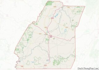
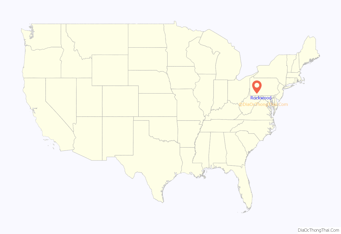
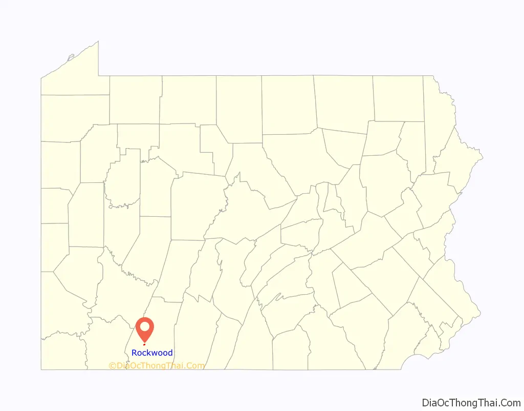
Rockwood location map. Where is Rockwood borough?
History
Rockwood was initially known as Shaff’s Bridge and then Mineral Point. Philip Wolfersberger built a house in what is now Rockwood in 1856, and he laid out the town in 1857 with Martin Meyers serving as the primary surveyor. John Poister built a hotel in 1860. 1868 saw the development of a post office, Henry Werner built a tannery in 1869, and a railroad depot was built in 1871. Philip Stauffer Wolfersberger, a son of the above Philip Wolfersberger, was a ticket agent of the Baltimore & Ohio Railroad (B&O) and was instrumental in getting the current name of Rockwood to take hold. A view of Mineral Point / Rockwood appeared in a collection of photographs from along the B&O’s lines that was published in book form in 1872 and digitized by the DeGolyer Library, Southern Methodist University.
The Somerset & Mineral Point Railroad connected the town of Somerset with the Pittsburgh & Connellsville Railroad (owned by the B&O) as it passed through Mineral Point / Rockwood. Both the Somerset & Mineral Point Railroad and the Pittsburgh & Connellsville Railroad were completed in 1871; the final section of the line between Pittsburgh & Cumberland was completed on the afternoon of April 10, 1871, with the final rail being laid near Forge Bridge, about 3 miles to the west of Mineral Point. There were eight stations located along the Somerset & Mineral Point line as it ran northeast along Coxes Creek: Mineral Point, Sames, Baker’s, Milford, Mud Pike Crossing, Roberts, Cantner, and Somerset. Two individuals who were involved in the founding of Ursina, which had its own small branch railroad further south in Somerset County, were officers of the Somerset & Mineral Point Railroad in 1873: William J. Baer was President and H.L. Baer was Secretary. The B&O bought the 10-mile Somerset & Mineral Point Railroad in 1879 for $60,000, knowing that an extension of the line to Johnstown, Pennsylvania, in Cambria County, was quite possible; this extension had already received legislative approval with session law no. 321 on Aug. 12, 1873. The Johnstown & Somerset Railroad followed the Stonycreek valley north-by-northeast from Somerset through Stoystown to Johnstown; it was built in 1881. The result was a rail line known as the Somerset & Cambria Branch Railroad stretching between the Pittsburgh & Connellsville Railroad at Rockwood and the Pennsylvania Railroad at Johnstown. The Somerset & Cambria Branch later became known as the S&C Subdivision.
In 1891 the Somerset Stone Company built a branch line from the Somerset & Cambria Branch Railroad’s station at Milford east to its operation at Bare Rocks. A tragic accident along this company line on the evening of April 25, 1893, killed several people. A collision between two trains on the Pittsburgh & Connellsville Railroad, occurring about three miles east of Rockwood, claimed six lives in November 1894. The Wilson Creek Coal Company, in 1900, constructed a branch railroad off of the Somerset & Cambria Branch; this company line ran from about one mile north of Rockwood to its mining property about three miles to the east.
The Baltimore & Ohio Railroad passes through Rockwood as it bends northerly in a long bow about the roots of Mount Davis, and it is now owned and operated by CSX, with daily Amtrak express trains between Pittsburgh and Cumberland, MD passing through the town and the nearby Cumberland Narrows. It is situated near and below the West slope-side summit-point of both the Nemacolin Trail and Braddock’s Road, as well as the railway as each ascended past the crest up through the Cumberland Narrows pass from the forks of the Potomac at Harper’s Ferry. The town was thus an important stop over point in the post-American Revolution westward migration into the Ohio Country and via the river boats built in Brownsville. The Penrose Wolf Building was added to the National Register of Historic Places in 2002.
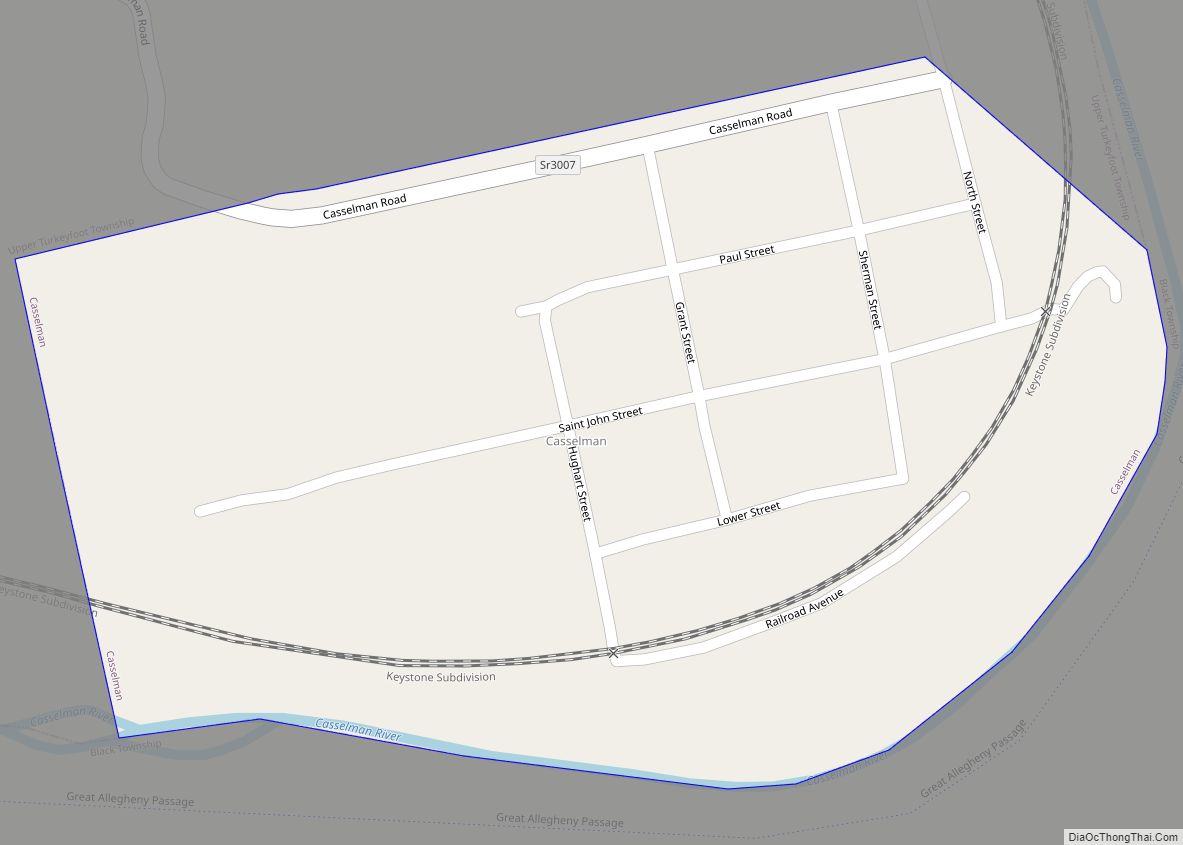
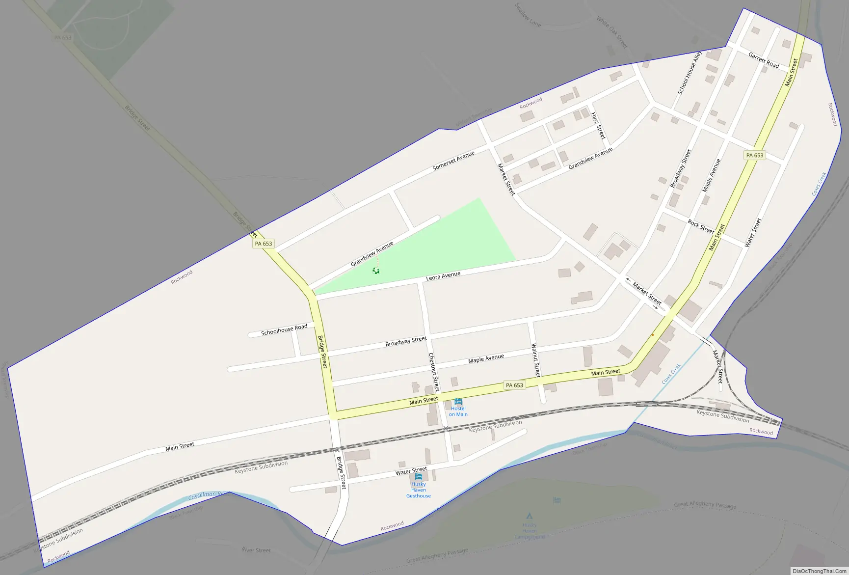
Rockwood Road Map
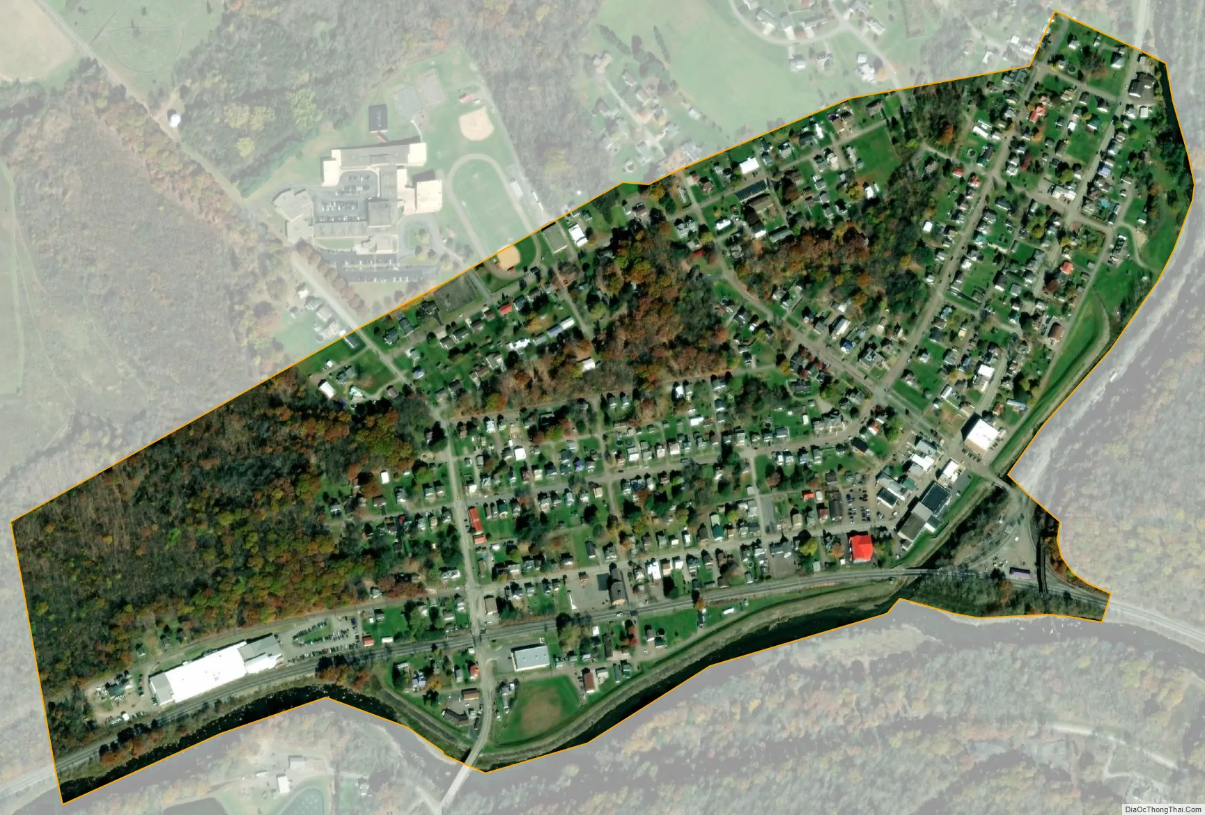
Rockwood city Satellite Map
Geography
Rockwood is located at 39°54′58″N 79°9′21″W / 39.91611°N 79.15583°W / 39.91611; -79.15583 (39.916222, -79.155808). It is situated near and below the west-side crest of the Eastern Continental Divide separating the Potomac-Mississippi riverine systems along the north bank of the Casselman River—whose head waters are to the south in nearby Western Maryland—and just west of its confluence with Coxes Creek.
According to the United States Census Bureau, the borough has a total area of 0.3 square miles (0.78 km), all land.
See also
Map of Pennsylvania State and its subdivision:- Adams
- Allegheny
- Armstrong
- Beaver
- Bedford
- Berks
- Blair
- Bradford
- Bucks
- Butler
- Cambria
- Cameron
- Carbon
- Centre
- Chester
- Clarion
- Clearfield
- Clinton
- Columbia
- Crawford
- Cumberland
- Dauphin
- Delaware
- Elk
- Erie
- Fayette
- Forest
- Franklin
- Fulton
- Greene
- Huntingdon
- Indiana
- Jefferson
- Juniata
- Lackawanna
- Lancaster
- Lawrence
- Lebanon
- Lehigh
- Luzerne
- Lycoming
- Mc Kean
- Mercer
- Mifflin
- Monroe
- Montgomery
- Montour
- Northampton
- Northumberland
- Perry
- Philadelphia
- Pike
- Potter
- Schuylkill
- Snyder
- Somerset
- Sullivan
- Susquehanna
- Tioga
- Union
- Venango
- Warren
- Washington
- Wayne
- Westmoreland
- Wyoming
- York
- Alabama
- Alaska
- Arizona
- Arkansas
- California
- Colorado
- Connecticut
- Delaware
- District of Columbia
- Florida
- Georgia
- Hawaii
- Idaho
- Illinois
- Indiana
- Iowa
- Kansas
- Kentucky
- Louisiana
- Maine
- Maryland
- Massachusetts
- Michigan
- Minnesota
- Mississippi
- Missouri
- Montana
- Nebraska
- Nevada
- New Hampshire
- New Jersey
- New Mexico
- New York
- North Carolina
- North Dakota
- Ohio
- Oklahoma
- Oregon
- Pennsylvania
- Rhode Island
- South Carolina
- South Dakota
- Tennessee
- Texas
- Utah
- Vermont
- Virginia
- Washington
- West Virginia
- Wisconsin
- Wyoming