Roseto is a borough in Northampton County, Pennsylvania. The population of Roseto was 1,567 at the 2010 census. Roseto is part of the Lehigh Valley metropolitan area, which has a population of 861,899 and is the 68th most populated metropolitan area in the U.S. as of the 2020 census.
Roseto is known in the fields of sociology and cardiology for the Roseto effect, wherein the close-knit Italian American community exhibited half the national average rate of heart disease in the mid-20th century. This finding helped to establish that stress can contribute to heart disease.
| Name: | Roseto borough |
|---|---|
| LSAD Code: | 21 |
| LSAD Description: | borough (suffix) |
| State: | Pennsylvania |
| County: | Northampton County |
| Elevation: | 794 ft (242 m) |
| Land Area: | 0.63 sq mi (1.63 km²) |
| Water Area: | 0.01 sq mi (0.02 km²) |
| Population Density: | 2,448.33/sq mi (945.83/km²) |
| ZIP code: | 18013 |
| Area code: | 610 and 484 |
| FIPS code: | 4266168 |
| Website: | boroughroseto.com |
Online Interactive Map
Click on ![]() to view map in "full screen" mode.
to view map in "full screen" mode.
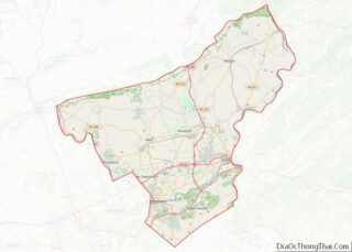
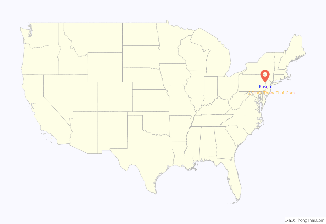
Roseto location map. Where is Roseto borough?
History
Roseto, meaning “Rose garden” in Italian, is named for the village of Roseto Valfortore. Neighboring communities were settled primarily by those of German, English, and Welsh descent. The first Italian immigrants from Roseto Valfortore, Italy arrived in 1882 to work in the local slate quarries. The Wind Gap and Delaware Railroad opened a line through the town in 1883. It was operated by the Central Railroad of New Jersey until 1905, after which it was merged into the Lehigh and New England Railroad, which abandoned the line in 1955. Roseto was incorporated as a borough in 1912.
Roseto Road Map
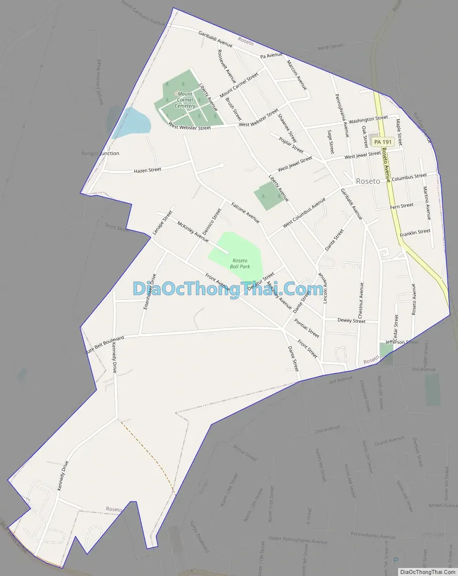
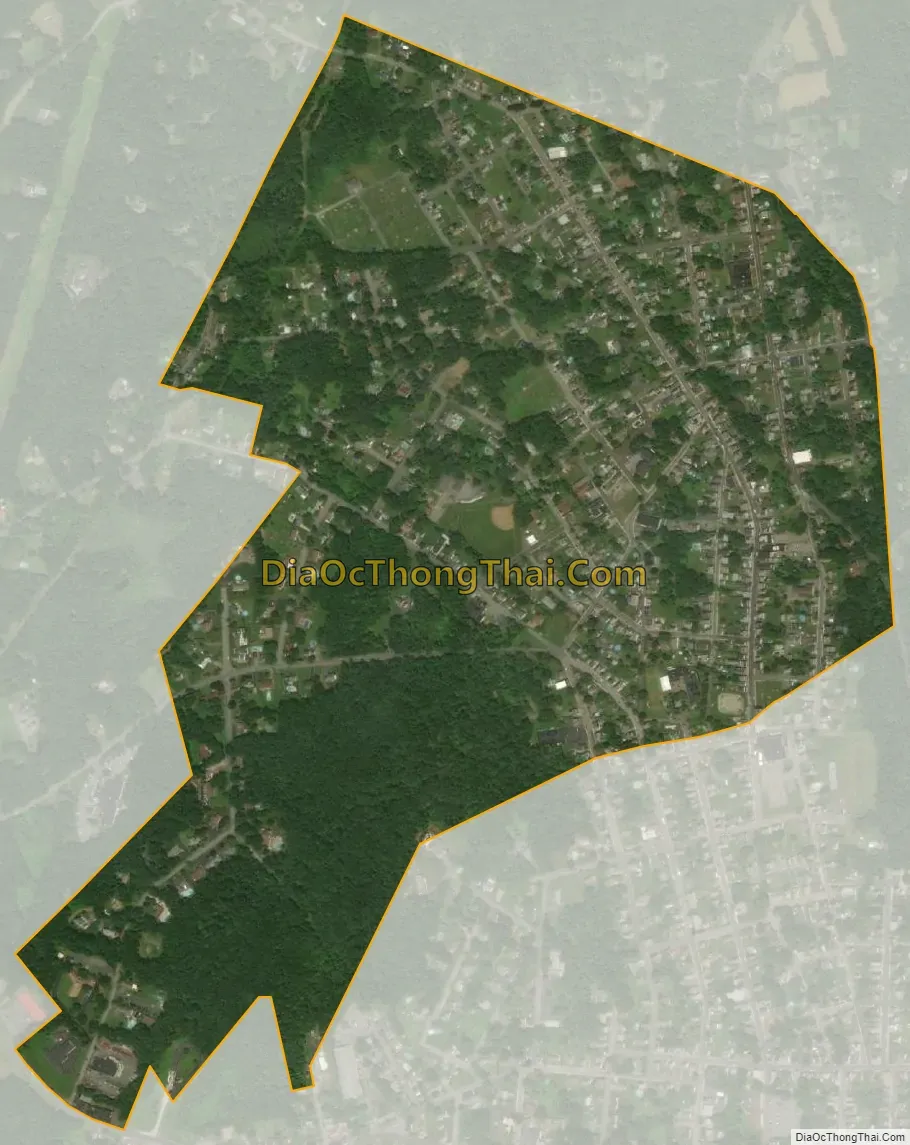
Roseto city Satellite Map
Geography
Roseto is located at 40°52′50″N 75°13′2″W / 40.88056°N 75.21722°W / 40.88056; -75.21722 (40.880576, -75.217345). According to the U.S. Census Bureau, the borough has a total area of 0.6 square miles (1.6 km), 0% of it being water.
See also
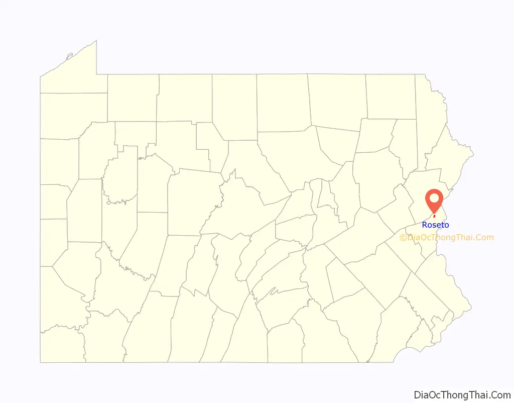
Map of Pennsylvania State and its subdivision:- Adams
- Allegheny
- Armstrong
- Beaver
- Bedford
- Berks
- Blair
- Bradford
- Bucks
- Butler
- Cambria
- Cameron
- Carbon
- Centre
- Chester
- Clarion
- Clearfield
- Clinton
- Columbia
- Crawford
- Cumberland
- Dauphin
- Delaware
- Elk
- Erie
- Fayette
- Forest
- Franklin
- Fulton
- Greene
- Huntingdon
- Indiana
- Jefferson
- Juniata
- Lackawanna
- Lancaster
- Lawrence
- Lebanon
- Lehigh
- Luzerne
- Lycoming
- Mc Kean
- Mercer
- Mifflin
- Monroe
- Montgomery
- Montour
- Northampton
- Northumberland
- Perry
- Philadelphia
- Pike
- Potter
- Schuylkill
- Snyder
- Somerset
- Sullivan
- Susquehanna
- Tioga
- Union
- Venango
- Warren
- Washington
- Wayne
- Westmoreland
- Wyoming
- York
- Alabama
- Alaska
- Arizona
- Arkansas
- California
- Colorado
- Connecticut
- Delaware
- District of Columbia
- Florida
- Georgia
- Hawaii
- Idaho
- Illinois
- Indiana
- Iowa
- Kansas
- Kentucky
- Louisiana
- Maine
- Maryland
- Massachusetts
- Michigan
- Minnesota
- Mississippi
- Missouri
- Montana
- Nebraska
- Nevada
- New Hampshire
- New Jersey
- New Mexico
- New York
- North Carolina
- North Dakota
- Ohio
- Oklahoma
- Oregon
- Pennsylvania
- Rhode Island
- South Carolina
- South Dakota
- Tennessee
- Texas
- Utah
- Vermont
- Virginia
- Washington
- West Virginia
- Wisconsin
- Wyoming