Rowes Run is an unincorporated community and census-designated place in Redstone Township, Fayette County, Pennsylvania, United States. As of the 2010 census, its population was 564. The community was part of the Grindstone-Rowes Run CDP before it was split into two separate CDPs for the 2010 census.
| Name: | Rowes Run CDP |
|---|---|
| LSAD Code: | 57 |
| LSAD Description: | CDP (suffix) |
| State: | Pennsylvania |
| County: | Fayette County |
| Elevation: | 980 ft (300 m) |
| Total Area: | 1.2 sq mi (3.2 km²) |
| Land Area: | 1.2 sq mi (3.2 km²) |
| Water Area: | 0.0 sq mi (0.0 km²) |
| Total Population: | 564 |
| Population Density: | 458/sq mi (176.8/km²) |
| FIPS code: | 4266472 |
| GNISfeature ID: | 1193232 |
Online Interactive Map
Click on ![]() to view map in "full screen" mode.
to view map in "full screen" mode.
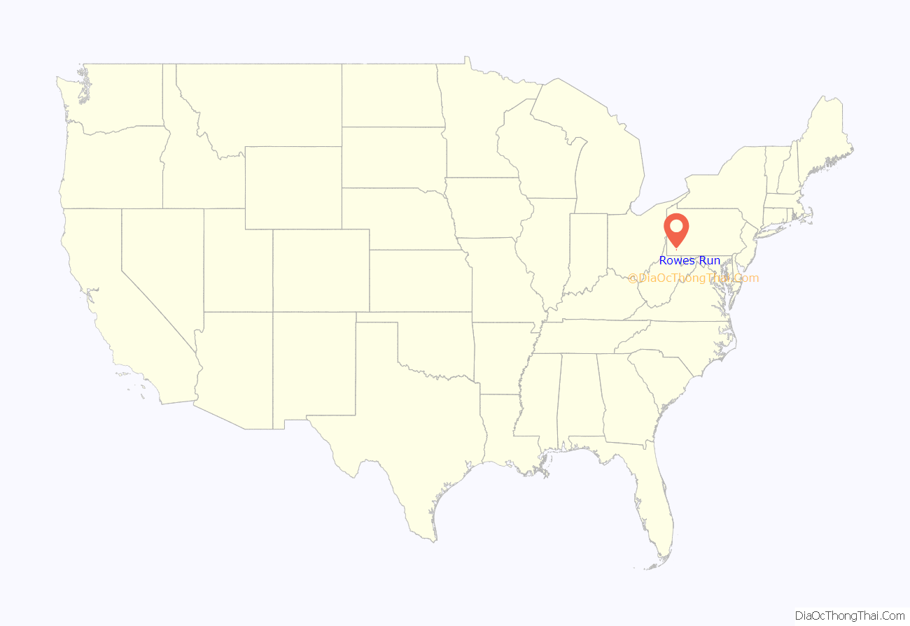
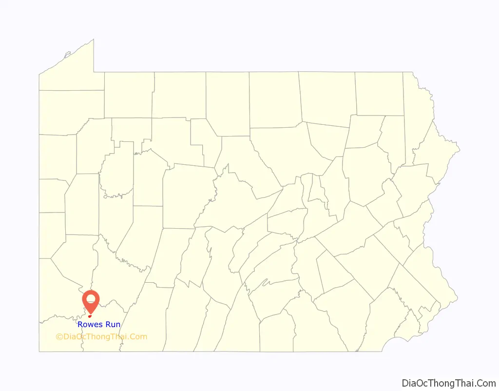
Rowes Run location map. Where is Rowes Run CDP?
History
Rowes Run was founded in 1907 by the Pittsburgh Coal Company. Also known as “New Hill”, it was named for a stream that ran through property owned by James Rowe, a prominent figure in the area. The mine located in the town was known as Colonial #3. In 1911, the town was acquired by the H. C. Frick Coke Company.
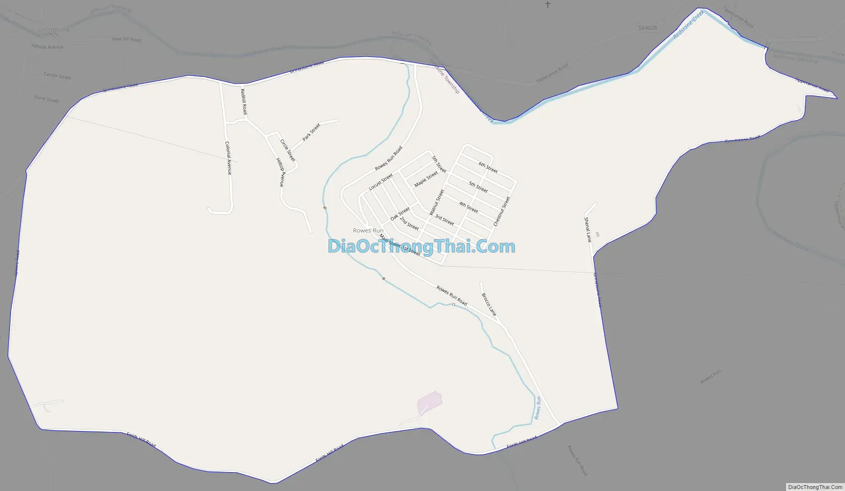
Rowes Run Road Map
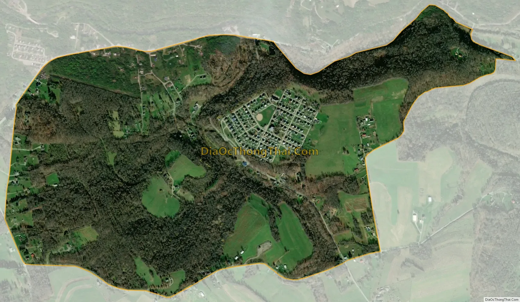
Rowes Run city Satellite Map
Geography
Rowes Run is located in northwestern Fayette County, at the northern end of Redstone Township. It is bordered to the north, across Grindstone Road, by the community of Grindstone. Redstone Creek forms the northern border of the Rowes Run CDP east of Grindstone Road. Brownsville is 5 miles (8 km) to the west, and Uniontown, the county seat, is 11 miles (18 km) to the southeast.
According to the U.S. Census Bureau, the Rowes Run CDP has an area of 1.2 square miles (3.2 km), all land.
See also
Map of Pennsylvania State and its subdivision:- Adams
- Allegheny
- Armstrong
- Beaver
- Bedford
- Berks
- Blair
- Bradford
- Bucks
- Butler
- Cambria
- Cameron
- Carbon
- Centre
- Chester
- Clarion
- Clearfield
- Clinton
- Columbia
- Crawford
- Cumberland
- Dauphin
- Delaware
- Elk
- Erie
- Fayette
- Forest
- Franklin
- Fulton
- Greene
- Huntingdon
- Indiana
- Jefferson
- Juniata
- Lackawanna
- Lancaster
- Lawrence
- Lebanon
- Lehigh
- Luzerne
- Lycoming
- Mc Kean
- Mercer
- Mifflin
- Monroe
- Montgomery
- Montour
- Northampton
- Northumberland
- Perry
- Philadelphia
- Pike
- Potter
- Schuylkill
- Snyder
- Somerset
- Sullivan
- Susquehanna
- Tioga
- Union
- Venango
- Warren
- Washington
- Wayne
- Westmoreland
- Wyoming
- York
- Alabama
- Alaska
- Arizona
- Arkansas
- California
- Colorado
- Connecticut
- Delaware
- District of Columbia
- Florida
- Georgia
- Hawaii
- Idaho
- Illinois
- Indiana
- Iowa
- Kansas
- Kentucky
- Louisiana
- Maine
- Maryland
- Massachusetts
- Michigan
- Minnesota
- Mississippi
- Missouri
- Montana
- Nebraska
- Nevada
- New Hampshire
- New Jersey
- New Mexico
- New York
- North Carolina
- North Dakota
- Ohio
- Oklahoma
- Oregon
- Pennsylvania
- Rhode Island
- South Carolina
- South Dakota
- Tennessee
- Texas
- Utah
- Vermont
- Virginia
- Washington
- West Virginia
- Wisconsin
- Wyoming