Royalton is a borough in Dauphin County, Pennsylvania, United States. As of the 2020 census the borough population was 1,134.
It is part of the Harrisburg–Carlisle Metropolitan Statistical Area. It shares its ZIP code with neighboring Middletown.
| Name: | Royalton borough |
|---|---|
| LSAD Code: | 21 |
| LSAD Description: | borough (suffix) |
| State: | Pennsylvania |
| County: | Dauphin County |
| Incorporated: | 1892 |
| Elevation: | 305 ft (93 m) |
| Total Area: | 0.35 sq mi (0.91 km²) |
| Land Area: | 0.32 sq mi (0.82 km²) |
| Water Area: | 0.03 sq mi (0.08 km²) |
| Total Population: | 1,134 |
| Population Density: | 3,213.84/sq mi (1,239.34/km²) |
| ZIP code: | 17057 |
| Area code: | 717 |
| FIPS code: | 4266560 |
| Website: | royaltonpa.com |
Online Interactive Map
Click on ![]() to view map in "full screen" mode.
to view map in "full screen" mode.
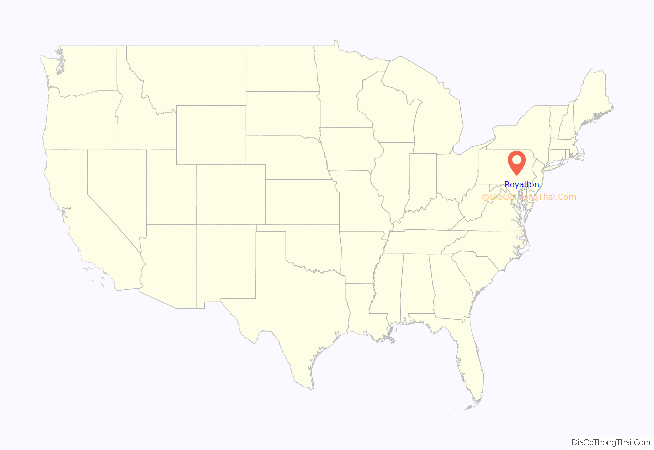
Royalton location map. Where is Royalton borough?
History
Royalton was officially incorporated in September 1891. It was formed by combining the communities of Furnace Hill to the north and Port Royal to the south. Its first postmaster was Mary E. Snavely.
Early industries included a sixty-foot planing mill that was built by John McCreary in 1891 and the Middletown Shale Brick Works, which was built in the borough’s southeast section circa 1900 and operated by H. O. Keener, Joseph Landis, Frank Nissley, Dr. J. C. Nissley, and S. C. Peters. Within four years, the latter business had increased its workforce to thirty and was producing roughly twenty-five thousand bricks per year.
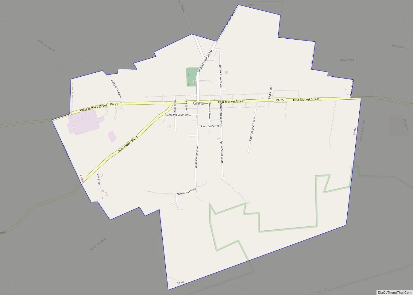
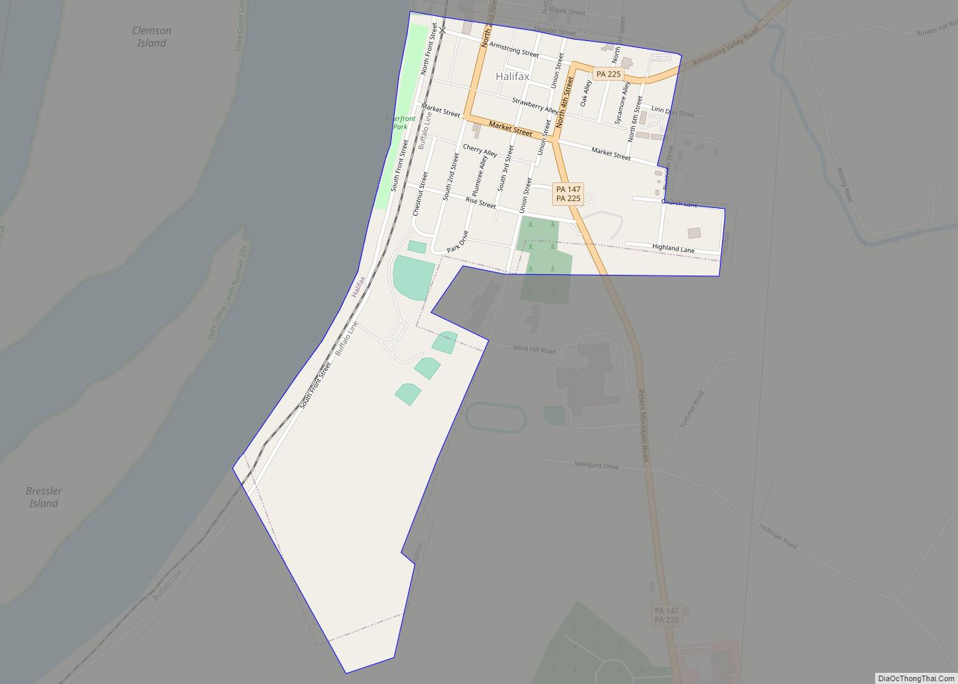
Royalton Road Map
Royalton city Satellite Map
Geography
Royalton is located in southern Dauphin County at 40°11′18″N 76°43′38″W / 40.18833°N 76.72722°W / 40.18833; -76.72722 (40.188325, -76.727280). It is bordered to the southwest by the Susquehanna River, and to the west and north by Swatara Creek, across which is the borough of Middletown.
Pennsylvania Route 441 (Canal Street) passes through the center of the borough, leading north into Middletown and southeast (downriver) 18 miles (29 km) to Columbia.
Harrisburg, the state capital, is eleven miles to the northwest (upriver).
According to the United States Census Bureau, the borough of Royalton has a total area of 0.34 square miles (0.87 km), of which 0.30 square miles (0.78 km) is land and 0.03 square miles (0.08 km), or 9.48%, is water.
See also
Map of Pennsylvania State and its subdivision:- Adams
- Allegheny
- Armstrong
- Beaver
- Bedford
- Berks
- Blair
- Bradford
- Bucks
- Butler
- Cambria
- Cameron
- Carbon
- Centre
- Chester
- Clarion
- Clearfield
- Clinton
- Columbia
- Crawford
- Cumberland
- Dauphin
- Delaware
- Elk
- Erie
- Fayette
- Forest
- Franklin
- Fulton
- Greene
- Huntingdon
- Indiana
- Jefferson
- Juniata
- Lackawanna
- Lancaster
- Lawrence
- Lebanon
- Lehigh
- Luzerne
- Lycoming
- Mc Kean
- Mercer
- Mifflin
- Monroe
- Montgomery
- Montour
- Northampton
- Northumberland
- Perry
- Philadelphia
- Pike
- Potter
- Schuylkill
- Snyder
- Somerset
- Sullivan
- Susquehanna
- Tioga
- Union
- Venango
- Warren
- Washington
- Wayne
- Westmoreland
- Wyoming
- York
- Alabama
- Alaska
- Arizona
- Arkansas
- California
- Colorado
- Connecticut
- Delaware
- District of Columbia
- Florida
- Georgia
- Hawaii
- Idaho
- Illinois
- Indiana
- Iowa
- Kansas
- Kentucky
- Louisiana
- Maine
- Maryland
- Massachusetts
- Michigan
- Minnesota
- Mississippi
- Missouri
- Montana
- Nebraska
- Nevada
- New Hampshire
- New Jersey
- New Mexico
- New York
- North Carolina
- North Dakota
- Ohio
- Oklahoma
- Oregon
- Pennsylvania
- Rhode Island
- South Carolina
- South Dakota
- Tennessee
- Texas
- Utah
- Vermont
- Virginia
- Washington
- West Virginia
- Wisconsin
- Wyoming
