Royersford is a borough in Montgomery County, Pennsylvania, United States, 32 miles (51 km) northwest of Philadelphia, on the Schuylkill River.
| Name: | Royersford borough |
|---|---|
| LSAD Code: | 21 |
| LSAD Description: | borough (suffix) |
| State: | Pennsylvania |
| County: | Montgomery County |
| Incorporated: | 1879 |
| Elevation: | 239 ft (73 m) |
| Total Area: | 0.82 sq mi (2.13 km²) |
| Land Area: | 0.79 sq mi (2.04 km²) |
| Water Area: | 0.03 sq mi (0.09 km²) |
| Total Population: | 4,940 |
| Population Density: | 6,253.16/sq mi (2,414.36/km²) |
| ZIP code: | 19468 |
| Area code: | 610 and 484 |
| FIPS code: | 4266576 |
| Website: | www.royersfordborough.org |
Online Interactive Map
Click on ![]() to view map in "full screen" mode.
to view map in "full screen" mode.
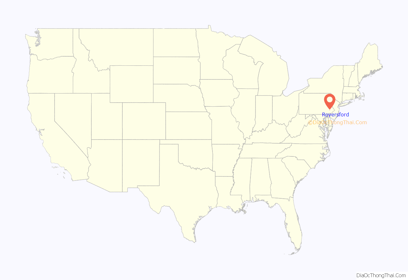
Royersford location map. Where is Royersford borough?
History
The town drew its name from the location of a ford across the Schuylkill River, which happened to be adjacent to land owned by the Royer family. Early in the twentieth century, it had several stove factories, two glass and bottle works, hosiery and silk mills, a dye and bleaching plant, manufactories of bricks, gas meters, stockings, shirts, shafting parts, wagons, agricultural implements, etc. The population stood at 2,607 people in 1900, and at 3,073 in 1910. The population was 4,940 at the 2020 census. The borough was formed from the southeastern corner of Limerick Township in 1879. Royersford is served by the Spring-Ford Area School District.
The Continental Stove Works was added to the National Register of Historic Places in 1986.
Royersford Road Map
Royersford city Satellite Map
Geography
Royersford is located at 40°11′7″N 75°32′16″W / 40.18528°N 75.53778°W / 40.18528; -75.53778 (40.185239, -75.537648). The borough lies on the northern banks of the Schuylkill River, and is considered a suburb of Philadelphia.
According to the United States Census Bureau, the borough has a total area of 0.8 square miles (2.1 km), of which 0.8 square miles (2.1 km) is land and 0.04 square miles (0.10 km) (4.88%) is water.
See also
Map of Pennsylvania State and its subdivision:- Adams
- Allegheny
- Armstrong
- Beaver
- Bedford
- Berks
- Blair
- Bradford
- Bucks
- Butler
- Cambria
- Cameron
- Carbon
- Centre
- Chester
- Clarion
- Clearfield
- Clinton
- Columbia
- Crawford
- Cumberland
- Dauphin
- Delaware
- Elk
- Erie
- Fayette
- Forest
- Franklin
- Fulton
- Greene
- Huntingdon
- Indiana
- Jefferson
- Juniata
- Lackawanna
- Lancaster
- Lawrence
- Lebanon
- Lehigh
- Luzerne
- Lycoming
- Mc Kean
- Mercer
- Mifflin
- Monroe
- Montgomery
- Montour
- Northampton
- Northumberland
- Perry
- Philadelphia
- Pike
- Potter
- Schuylkill
- Snyder
- Somerset
- Sullivan
- Susquehanna
- Tioga
- Union
- Venango
- Warren
- Washington
- Wayne
- Westmoreland
- Wyoming
- York
- Alabama
- Alaska
- Arizona
- Arkansas
- California
- Colorado
- Connecticut
- Delaware
- District of Columbia
- Florida
- Georgia
- Hawaii
- Idaho
- Illinois
- Indiana
- Iowa
- Kansas
- Kentucky
- Louisiana
- Maine
- Maryland
- Massachusetts
- Michigan
- Minnesota
- Mississippi
- Missouri
- Montana
- Nebraska
- Nevada
- New Hampshire
- New Jersey
- New Mexico
- New York
- North Carolina
- North Dakota
- Ohio
- Oklahoma
- Oregon
- Pennsylvania
- Rhode Island
- South Carolina
- South Dakota
- Tennessee
- Texas
- Utah
- Vermont
- Virginia
- Washington
- West Virginia
- Wisconsin
- Wyoming
