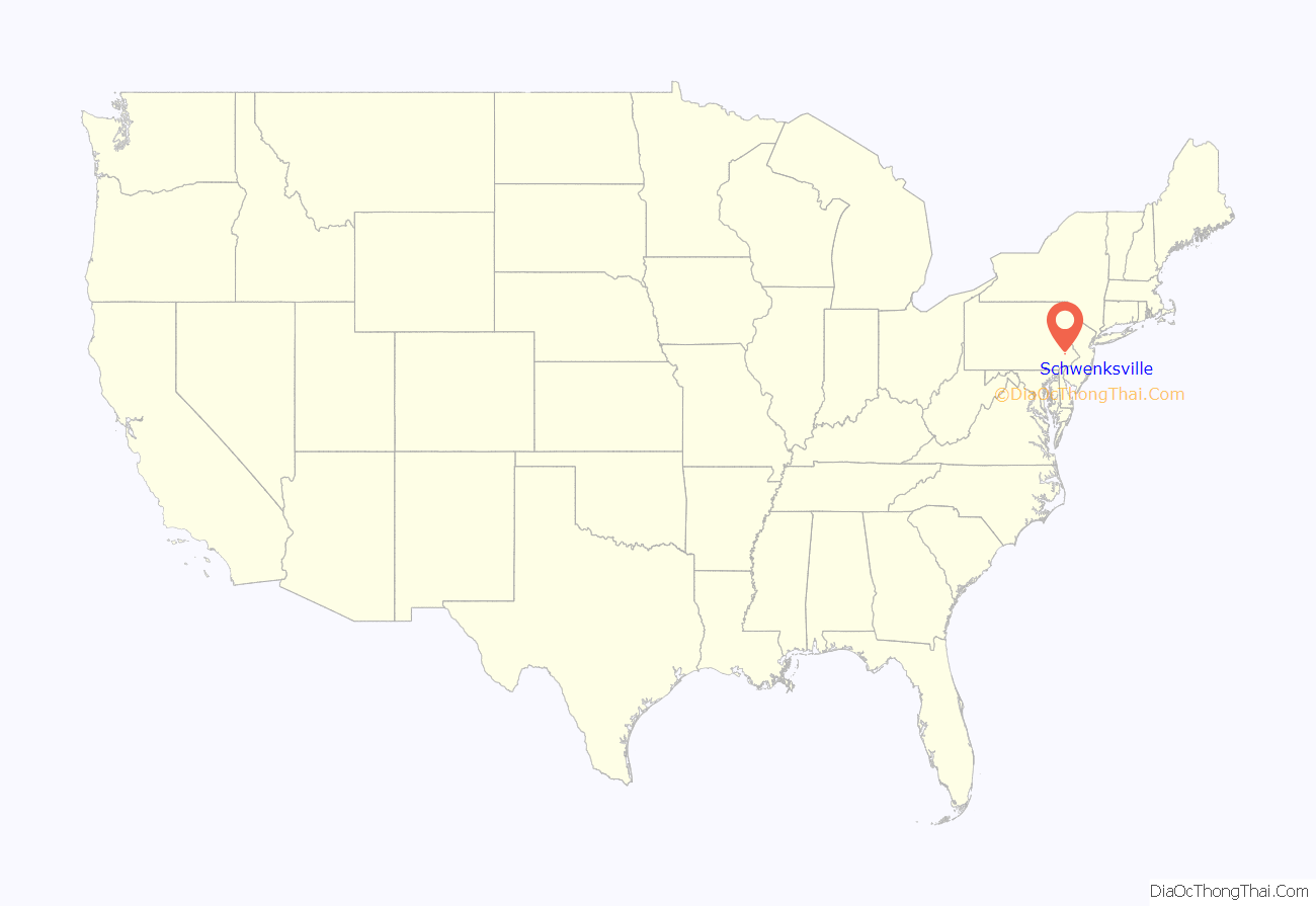
Schwenksville is a borough in Montgomery County, Pennsylvania, United States. The population was 1,431 at the 2020 census. It is notable for being located near the site of the Philadelphia Folk Festival. The borough was founded in 1684, when the Lenni-Lenape Indians ceded to William Penn the land along the Perkiomen Creek; it was incorporated in 1903. The borough was named for George Schwenk, whose son, Jacob Schwenk, served in George Washington’s army.
The town was the inspiration for the protagonist in Catherine Gilbert Murdock’s novel Dairy Queen (2006).
The Hall & Oates song “Perkiomen” was written about the Perkiomen Creek, which constitutes Schwenksville’s eastern border. “Perkiomen” is Lenape for “muddy waters” and “where the cranberries grow.”
Schwenksville is also the gateway to the Perkiomen Trail, a nineteen-mile section of the former Reading Railroad’s Perkiomen Valley corridor. It now serves as a multi-use rail trail and was completed in 2003.
| Name: | Schwenksville borough |
|---|---|
| LSAD Code: | 21 |
| LSAD Description: | borough (suffix) |
| State: | Pennsylvania |
| County: | Montgomery County |
| Elevation: | 213 ft (65 m) |
| Total Area: | 0.40 sq mi (1.04 km²) |
| Land Area: | 0.40 sq mi (1.04 km²) |
| Water Area: | 0.00 sq mi (0.01 km²) |
| Total Population: | 1,296 |
| Population Density: | 3,240.00/sq mi (1,250.23/km²) |
| ZIP code: | 19473 |
| Area code: | 610 and 484 |
| FIPS code: | 4268328 |
Online Interactive Map
Click on ![]() to view map in "full screen" mode.
to view map in "full screen" mode.
Schwenksville location map. Where is Schwenksville borough?
History
General George Washington and the Continental Army camped in and around Schwenksville – September 26 to 29 and October 4 to 8, 1777 – prior to and immediately following the October 4 Battle of Germantown. Washington’s headquarters probably was at the Henry Kelly House (demolished), just southwest of the town that he called “Pawling’s Mill.” The bulk of the Army camped on the opposite side of the Perkiomen Creek, at Pennypacker Mills.
The borough was originally part of Perkiomen Township and home to the first copper mine in Pennsylvania. Ice harvesting was a major industry in the area. Several large icehouses were located along the creek, and ice was regularly shipped to Philadelphia. Mills devoted to grain and textiles were also very prominent which is evident by the existing historic structures. Its location along the Perkiomen Creek made the Borough a great summer resort community during its early existence, and Schwenksville was once home to The Perkiomen Inn, Spring Mountain House, and The Woodside Inn.
It was home to the Schwenksville Union School District until amalgamation with the Perkiomen Joint School District to form Perkiomen Valley School District in 1969.
Today the Borough is a residential community. Commercial and industrial businesses are located along the Main Street corridor. Schwenksville Elementary School; the Perkiomen Valley Branch of the Montgomery County-Norristown Public Library; the Schwenksville post office; two banks; three churches – Heidelberg United Church of Christ, Jerusalem Lutheran, and Eden Mennonite; and a 6.47-acre park along the Perkiomen Creek are located within the borough.
The Pennypacker Mansion and Sunrise Mill are listed on the National Register of Historic Places.
Schwenksville Road Map
Schwenksville city Satellite Map
Geography
Schwenksville is located at 40°15′23″N 75°27′54″W / 40.25639°N 75.46500°W / 40.25639; -75.46500 (40.256418, -75.465012).
According to the United States Census Bureau, the borough has a total area of 0.4 square miles (1.0 km), of which 0.4 square miles (1.0 km) of land and 2.38% is water.
Climate
The climate in this area is characterized by hot, humid summers and generally mild to cool winters. According to the Köppen Climate Classification system, Schwenksville has a humid subtropical climate, abbreviated “Cfa” on climate maps.
See also
Map of Pennsylvania State and its subdivision:- Adams
- Allegheny
- Armstrong
- Beaver
- Bedford
- Berks
- Blair
- Bradford
- Bucks
- Butler
- Cambria
- Cameron
- Carbon
- Centre
- Chester
- Clarion
- Clearfield
- Clinton
- Columbia
- Crawford
- Cumberland
- Dauphin
- Delaware
- Elk
- Erie
- Fayette
- Forest
- Franklin
- Fulton
- Greene
- Huntingdon
- Indiana
- Jefferson
- Juniata
- Lackawanna
- Lancaster
- Lawrence
- Lebanon
- Lehigh
- Luzerne
- Lycoming
- Mc Kean
- Mercer
- Mifflin
- Monroe
- Montgomery
- Montour
- Northampton
- Northumberland
- Perry
- Philadelphia
- Pike
- Potter
- Schuylkill
- Snyder
- Somerset
- Sullivan
- Susquehanna
- Tioga
- Union
- Venango
- Warren
- Washington
- Wayne
- Westmoreland
- Wyoming
- York
- Alabama
- Alaska
- Arizona
- Arkansas
- California
- Colorado
- Connecticut
- Delaware
- District of Columbia
- Florida
- Georgia
- Hawaii
- Idaho
- Illinois
- Indiana
- Iowa
- Kansas
- Kentucky
- Louisiana
- Maine
- Maryland
- Massachusetts
- Michigan
- Minnesota
- Mississippi
- Missouri
- Montana
- Nebraska
- Nevada
- New Hampshire
- New Jersey
- New Mexico
- New York
- North Carolina
- North Dakota
- Ohio
- Oklahoma
- Oregon
- Pennsylvania
- Rhode Island
- South Carolina
- South Dakota
- Tennessee
- Texas
- Utah
- Vermont
- Virginia
- Washington
- West Virginia
- Wisconsin
- Wyoming
