Souderton is a borough in Montgomery County, Pennsylvania, United States. The population was 7,246 in 2022 according to the Census Bureau.
Souderton formerly hosted the end of the annual Bucks County Classic, a professional bicycle race.
| Name: | Souderton borough |
|---|---|
| LSAD Code: | 21 |
| LSAD Description: | borough (suffix) |
| State: | Pennsylvania |
| County: | Montgomery County |
| Incorporated: | 1887 |
| Elevation: | 400 ft (100 m) |
| Total Area: | 1.12 sq mi (2.90 km²) |
| Land Area: | 1.12 sq mi (2.90 km²) |
| Water Area: | 0.00 sq mi (0.00 km²) |
| Total Population: | 6,618 |
| Population Density: | 6,317.57/sq mi (2,438.39/km²) |
| ZIP code: | 18964 |
| Area code: | 215, 267 and 445 |
| FIPS code: | 4271856 |
| Website: | www.soudertonborough.org |
Online Interactive Map
Click on ![]() to view map in "full screen" mode.
to view map in "full screen" mode.
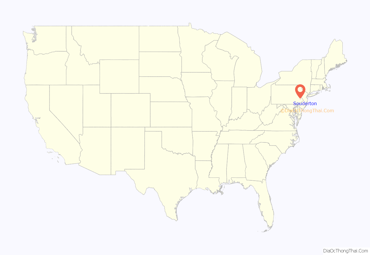
Souderton location map. Where is Souderton borough?
History
The town was originally named Welshtown, because it was settled by the Welsh. Souderton is prefigured in a map of 1847 as Souder’s Lumberyard, and the new name was certainly in place by the railroad era in the second half of the 19th century. The name comes from town resident Henry O. Souder and his store near the railroad.
The Souderton Historic District was listed on the National Register of Historic Places in 2011.
Souderton Road Map
Souderton city Satellite Map
Geography
Souderton is located at 40°18′37″N 75°19′18″W / 40.31028°N 75.32167°W / 40.31028; -75.32167 (40.310215, -75.321682).
According to the United States Census Bureau, the borough has a total area of 1.1 square miles (2.9 km), all land. The terrain consists of gently rolling hills, with some steeper hills in the downtown area, and flat terrain throughout.
Neighboring municipalities
Souderton is bordered by:
- Franconia Township on the east, southeast and south
- Telford borough on the northwest
- Hilltown Township in Bucks County across County Line Road on the northeast
Some adjacent areas in Hilltown Township, Bucks County, including Calvary Church, have a Souderton postal address.
Climate
Souderton has a hot-summer humid continental climate (Dfa) and average monthly temperatures range from 29.5 °F in January to 74.1 °F in July. [1] The local hardiness zone is 6b.
See also
Map of Pennsylvania State and its subdivision:- Adams
- Allegheny
- Armstrong
- Beaver
- Bedford
- Berks
- Blair
- Bradford
- Bucks
- Butler
- Cambria
- Cameron
- Carbon
- Centre
- Chester
- Clarion
- Clearfield
- Clinton
- Columbia
- Crawford
- Cumberland
- Dauphin
- Delaware
- Elk
- Erie
- Fayette
- Forest
- Franklin
- Fulton
- Greene
- Huntingdon
- Indiana
- Jefferson
- Juniata
- Lackawanna
- Lancaster
- Lawrence
- Lebanon
- Lehigh
- Luzerne
- Lycoming
- Mc Kean
- Mercer
- Mifflin
- Monroe
- Montgomery
- Montour
- Northampton
- Northumberland
- Perry
- Philadelphia
- Pike
- Potter
- Schuylkill
- Snyder
- Somerset
- Sullivan
- Susquehanna
- Tioga
- Union
- Venango
- Warren
- Washington
- Wayne
- Westmoreland
- Wyoming
- York
- Alabama
- Alaska
- Arizona
- Arkansas
- California
- Colorado
- Connecticut
- Delaware
- District of Columbia
- Florida
- Georgia
- Hawaii
- Idaho
- Illinois
- Indiana
- Iowa
- Kansas
- Kentucky
- Louisiana
- Maine
- Maryland
- Massachusetts
- Michigan
- Minnesota
- Mississippi
- Missouri
- Montana
- Nebraska
- Nevada
- New Hampshire
- New Jersey
- New Mexico
- New York
- North Carolina
- North Dakota
- Ohio
- Oklahoma
- Oregon
- Pennsylvania
- Rhode Island
- South Carolina
- South Dakota
- Tennessee
- Texas
- Utah
- Vermont
- Virginia
- Washington
- West Virginia
- Wisconsin
- Wyoming
