South Renovo is a borough in Clinton County, Pennsylvania, United States, located on the West Branch Susquehanna River, directly across from Renovo. The population was 439 at the 2010 census, down from 557 in 2000.
Historically, the economy of the area was based on lumbering, but when the mountains of the region had been stripped of their first-growth forest, the industry collapsed. There are also deposits of bituminous coal and fire clay in the region.
Today, the area largely consists of state land in the form of state forests, state parks and game lands. The region is known as the Pennsylvania Wilds.
| Name: | South Renovo borough |
|---|---|
| LSAD Code: | 21 |
| LSAD Description: | borough (suffix) |
| State: | Pennsylvania |
| County: | Clinton County |
| Elevation: | 700 ft (200 m) |
| Total Area: | 0.23 sq mi (0.60 km²) |
| Land Area: | 0.20 sq mi (0.53 km²) |
| Water Area: | 0.03 sq mi (0.08 km²) |
| Total Population: | 439 |
| Population Density: | 2,088.24/sq mi (806.99/km²) |
| ZIP code: | 17764 |
| Area code: | 570 |
| FIPS code: | 4272448 |
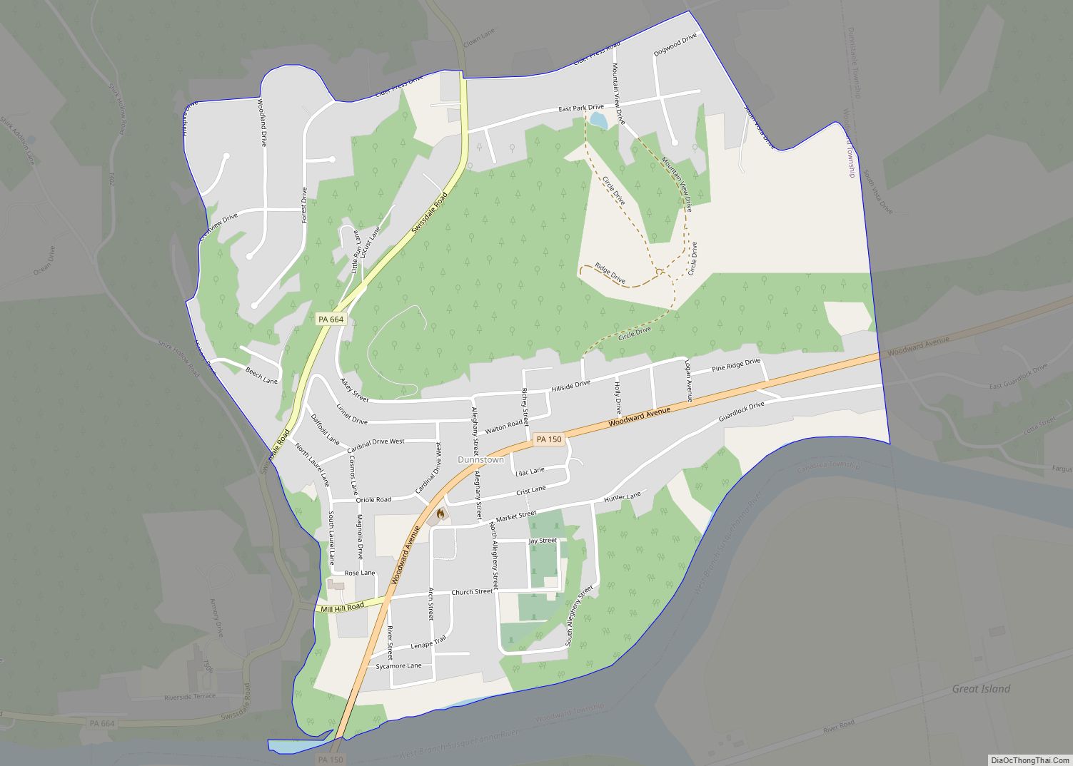
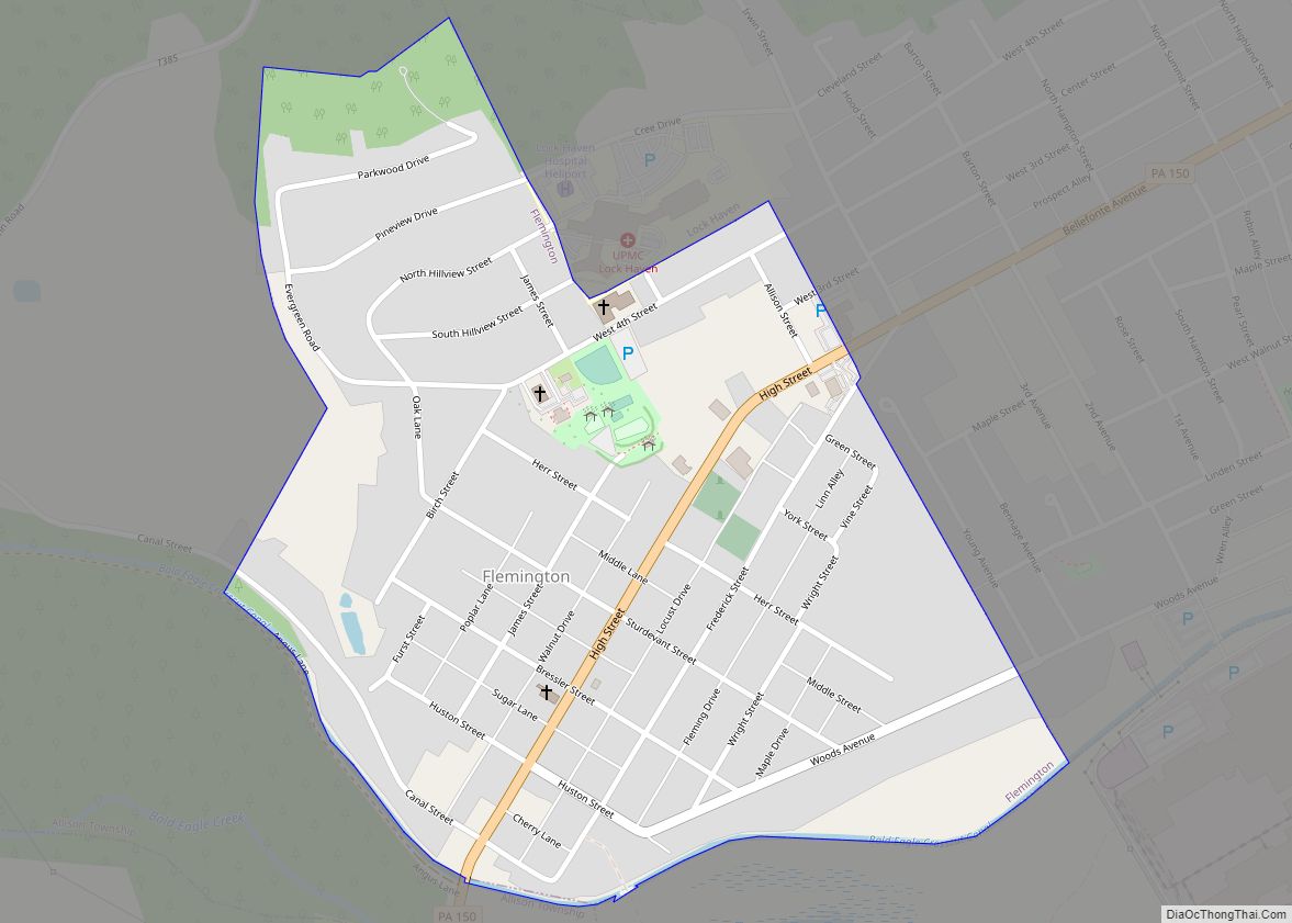
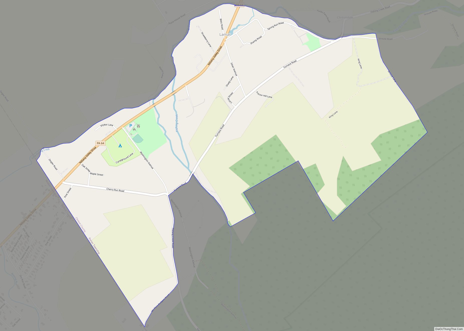
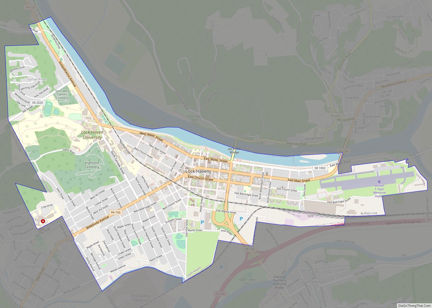
Online Interactive Map
Click on ![]() to view map in "full screen" mode.
to view map in "full screen" mode.
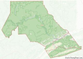
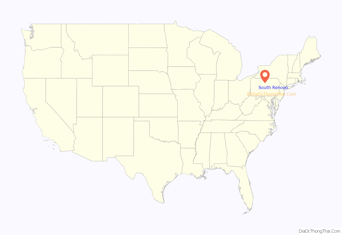
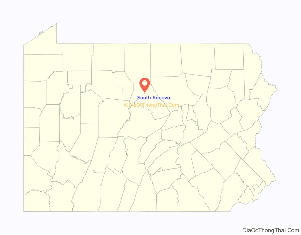
South Renovo location map. Where is South Renovo borough?
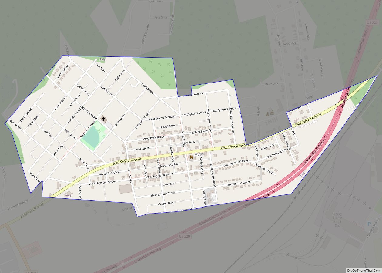
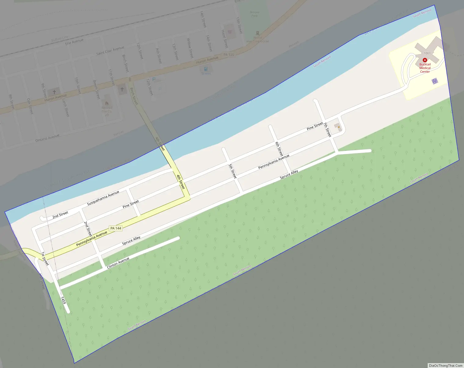
South Renovo Road Map
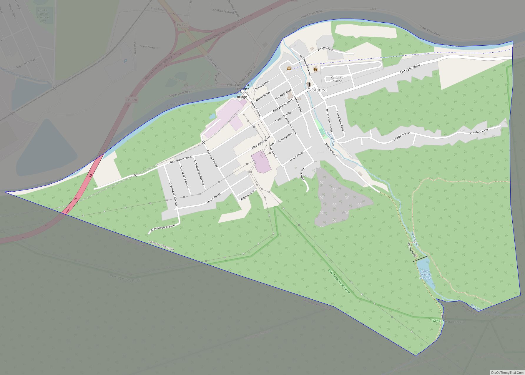
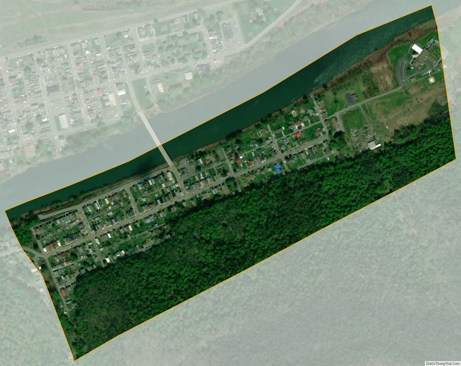
South Renovo city Satellite Map
Geography
South Renovo is located in north-central Clinton County at 41°19′28″N 77°44′40″W / 41.32444°N 77.74444°W / 41.32444; -77.74444 (41.324405, -77.744307), on the south bank of the West Branch Susquehanna River. It is bordered by the borough of Renovo on the north bank. According to the United States Census Bureau, South Renovo has a total area of 0.23 square miles (0.60 km), of which 0.20 square miles (0.53 km) is land and 0.03 square miles (0.08 km), or 12.60%, is water.
Pennsylvania Route 144 passes through the borough, crossing the West Branch into Renovo to the north, and leading south 34 miles (55 km) to Snow Shoe and Interstate 80.
See also
Map of Pennsylvania State and its subdivision:- Adams
- Allegheny
- Armstrong
- Beaver
- Bedford
- Berks
- Blair
- Bradford
- Bucks
- Butler
- Cambria
- Cameron
- Carbon
- Centre
- Chester
- Clarion
- Clearfield
- Clinton
- Columbia
- Crawford
- Cumberland
- Dauphin
- Delaware
- Elk
- Erie
- Fayette
- Forest
- Franklin
- Fulton
- Greene
- Huntingdon
- Indiana
- Jefferson
- Juniata
- Lackawanna
- Lancaster
- Lawrence
- Lebanon
- Lehigh
- Luzerne
- Lycoming
- Mc Kean
- Mercer
- Mifflin
- Monroe
- Montgomery
- Montour
- Northampton
- Northumberland
- Perry
- Philadelphia
- Pike
- Potter
- Schuylkill
- Snyder
- Somerset
- Sullivan
- Susquehanna
- Tioga
- Union
- Venango
- Warren
- Washington
- Wayne
- Westmoreland
- Wyoming
- York
- Alabama
- Alaska
- Arizona
- Arkansas
- California
- Colorado
- Connecticut
- Delaware
- District of Columbia
- Florida
- Georgia
- Hawaii
- Idaho
- Illinois
- Indiana
- Iowa
- Kansas
- Kentucky
- Louisiana
- Maine
- Maryland
- Massachusetts
- Michigan
- Minnesota
- Mississippi
- Missouri
- Montana
- Nebraska
- Nevada
- New Hampshire
- New Jersey
- New Mexico
- New York
- North Carolina
- North Dakota
- Ohio
- Oklahoma
- Oregon
- Pennsylvania
- Rhode Island
- South Carolina
- South Dakota
- Tennessee
- Texas
- Utah
- Vermont
- Virginia
- Washington
- West Virginia
- Wisconsin
- Wyoming