St. Petersburg is a borough in Clarion County, Pennsylvania, United States. The population was 338 at the 2020 census.
| Name: | St. Petersburg borough |
|---|---|
| LSAD Code: | 21 |
| LSAD Description: | borough (suffix) |
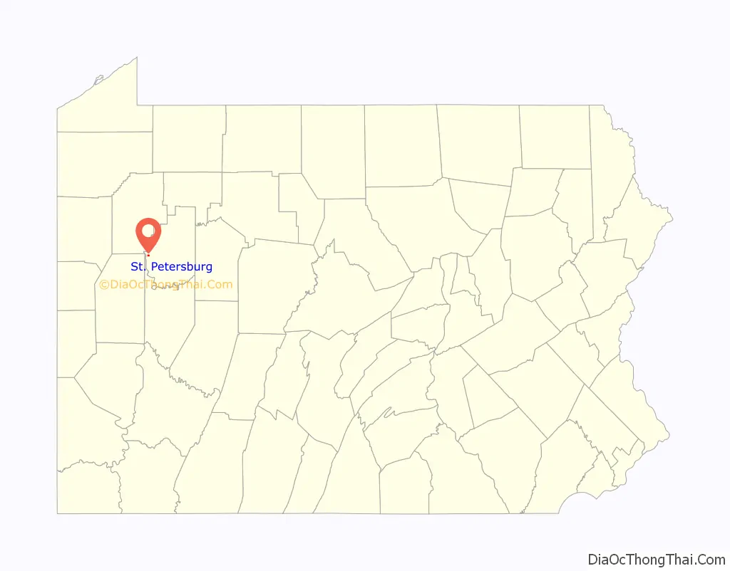
| State: | Pennsylvania |
| County: | Clarion County |
| Elevation: | 1,390 ft (420 m) |
| Total Area: | 0.32 sq mi (0.83 km²) |
| Land Area: | 0.32 sq mi (0.83 km²) |
| Water Area: | 0.00 sq mi (0.00 km²) |
| Total Population: | 336 |
| Population Density: | 1,053.29/sq mi (406.68/km²) |
| ZIP code: | 16054 |
| FIPS code: | 4267384 |
| Website: | www.stpetersburgpa.com |
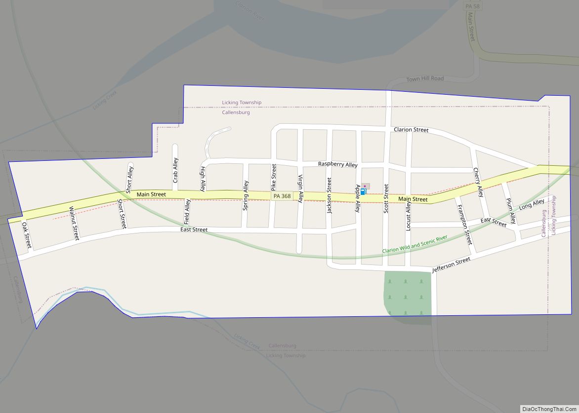
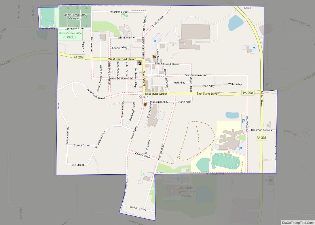
Online Interactive Map
Click on ![]() to view map in "full screen" mode.
to view map in "full screen" mode.
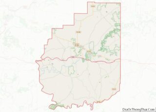
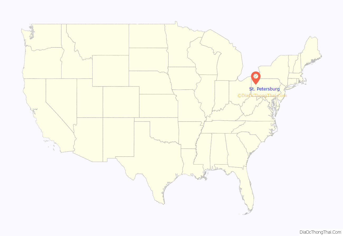
St. Petersburg location map. Where is St. Petersburg borough?
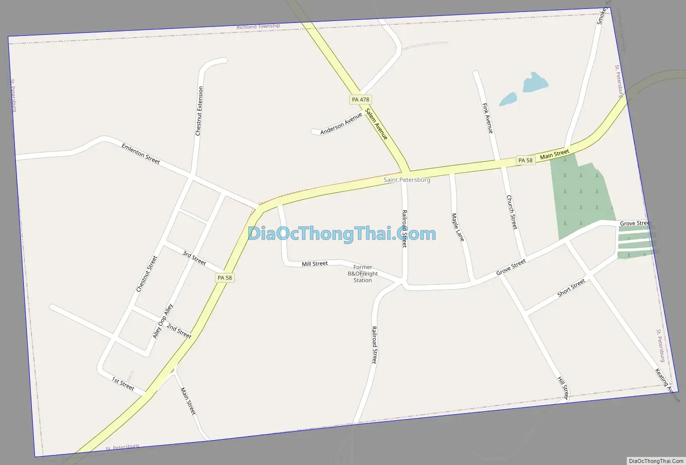
St. Petersburg Road Map
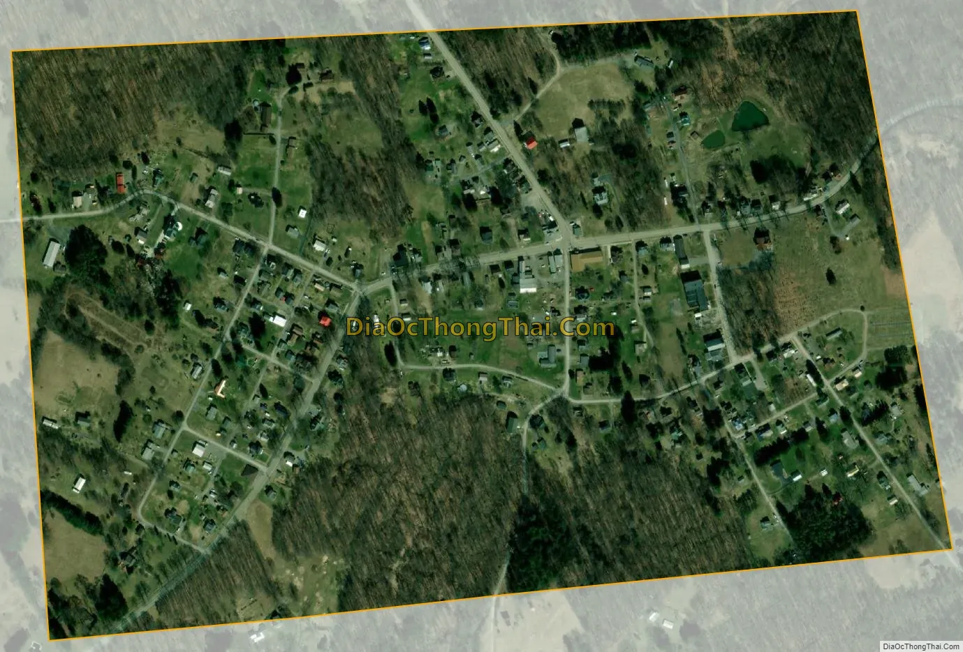
St. Petersburg city Satellite Map
Geography
St. Petersburg is located in western Clarion County at 41°09′39″N 79°39′14″W / 41.160944°N 79.653937°W / 41.160944; -79.653937. Pennsylvania Route 58 passes through the borough, leading 2 miles (3 km) southwest to Foxburg on the Allegheny River and east 7 miles (11 km) to Callensburg on the Clarion River. Pennsylvania Route 478 leads northwest 2 miles (3 km) to Interstate 80 east of Emlenton.
According to the United States Census Bureau, St. Petersburg has a total area of 0.32 square miles (0.83 km), all land.
See also
Map of Pennsylvania State and its subdivision:- Adams
- Allegheny
- Armstrong
- Beaver
- Bedford
- Berks
- Blair
- Bradford
- Bucks
- Butler
- Cambria
- Cameron
- Carbon
- Centre
- Chester
- Clarion
- Clearfield
- Clinton
- Columbia
- Crawford
- Cumberland
- Dauphin
- Delaware
- Elk
- Erie
- Fayette
- Forest
- Franklin
- Fulton
- Greene
- Huntingdon
- Indiana
- Jefferson
- Juniata
- Lackawanna
- Lancaster
- Lawrence
- Lebanon
- Lehigh
- Luzerne
- Lycoming
- Mc Kean
- Mercer
- Mifflin
- Monroe
- Montgomery
- Montour
- Northampton
- Northumberland
- Perry
- Philadelphia
- Pike
- Potter
- Schuylkill
- Snyder
- Somerset
- Sullivan
- Susquehanna
- Tioga
- Union
- Venango
- Warren
- Washington
- Wayne
- Westmoreland
- Wyoming
- York
- Alabama
- Alaska
- Arizona
- Arkansas
- California
- Colorado
- Connecticut
- Delaware
- District of Columbia
- Florida
- Georgia
- Hawaii
- Idaho
- Illinois
- Indiana
- Iowa
- Kansas
- Kentucky
- Louisiana
- Maine
- Maryland
- Massachusetts
- Michigan
- Minnesota
- Mississippi
- Missouri
- Montana
- Nebraska
- Nevada
- New Hampshire
- New Jersey
- New Mexico
- New York
- North Carolina
- North Dakota
- Ohio
- Oklahoma
- Oregon
- Pennsylvania
- Rhode Island
- South Carolina
- South Dakota
- Tennessee
- Texas
- Utah
- Vermont
- Virginia
- Washington
- West Virginia
- Wisconsin
- Wyoming