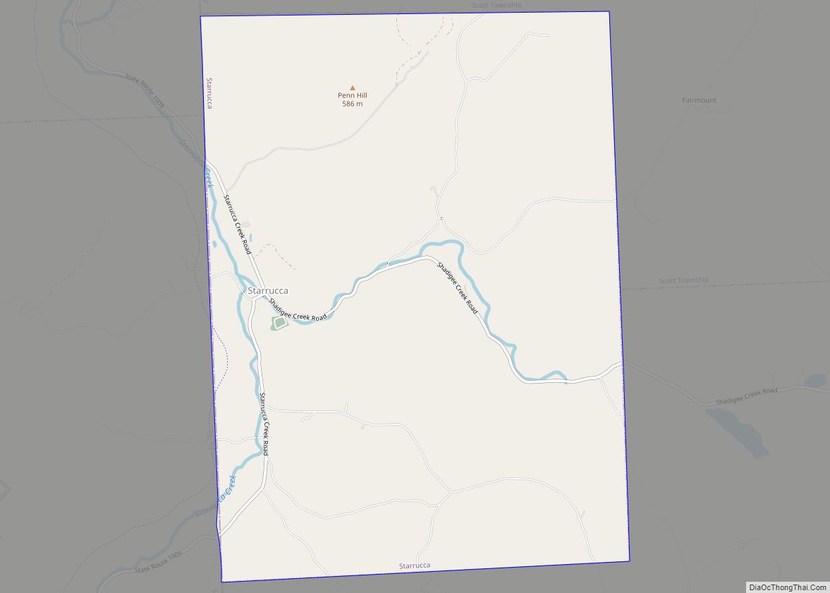
Starrucca (/ˈstrʌkə/ STRUK-ə) is a borough in Wayne County, Pennsylvania, United States. The borough’s population was 173 at the time of the 2010 United States Census.
| Name: | Starrucca borough |
|---|---|
| LSAD Code: | 21 |
| LSAD Description: | borough (suffix) |
| State: | Pennsylvania |
| County: | Wayne County |
| Elevation: | 1,309 ft (399 m) |
| Total Area: | 8.98 sq mi (23.27 km²) |
| Land Area: | 8.91 sq mi (23.09 km²) |
| Water Area: | 0.07 sq mi (0.18 km²) |
| Total Population: | 173 |
| Population Density: | 18.51/sq mi (7.15/km²) |
| ZIP code: | De jure 18462 (De facto) 18462 18465 (Thompson) 18847 (Susquehanna) |
| Area code: | 570 |
| FIPS code: | 4273784 |
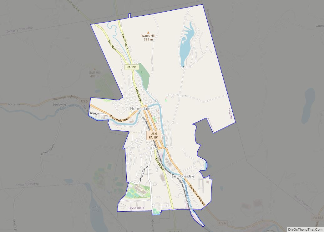
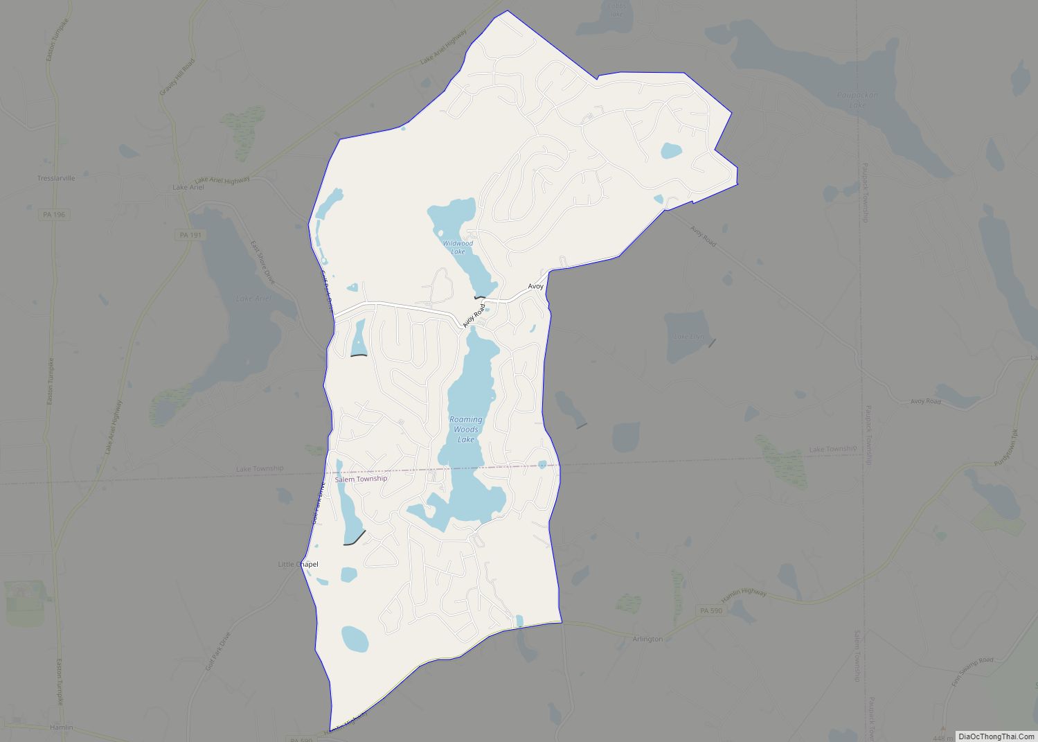
Online Interactive Map
Click on ![]() to view map in "full screen" mode.
to view map in "full screen" mode.
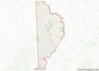
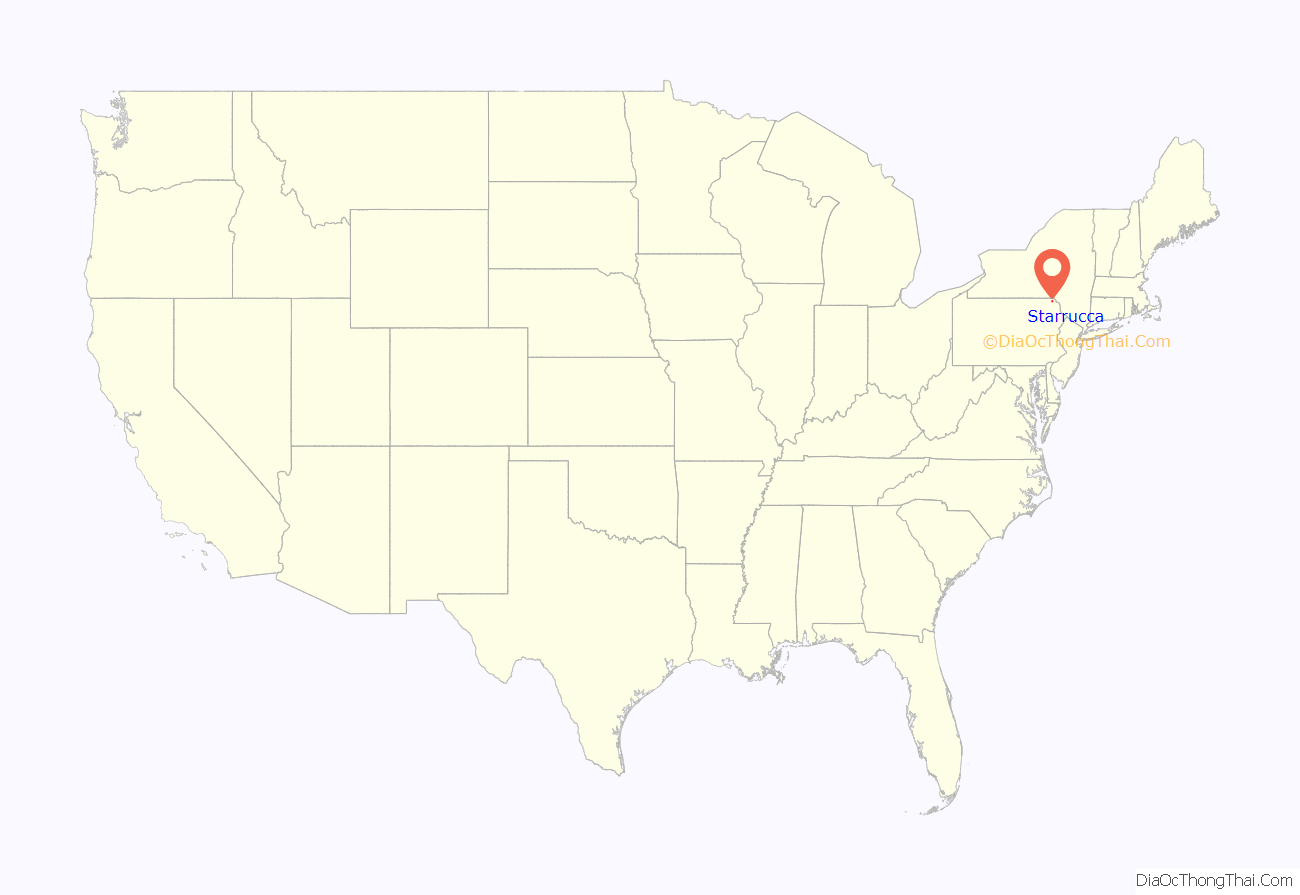
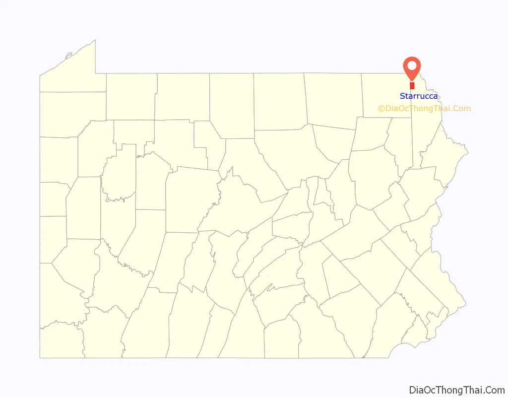
Starrucca location map. Where is Starrucca borough?
History
Starrucca was named after the founder’s horse which he rode on as he surveyed the land.
The historic Stone Arch Bridge over Starrucca Creek was added to the National Register of Historic Places on January 1, 1979, and was delisted on May 8, 1986, after being demolished.
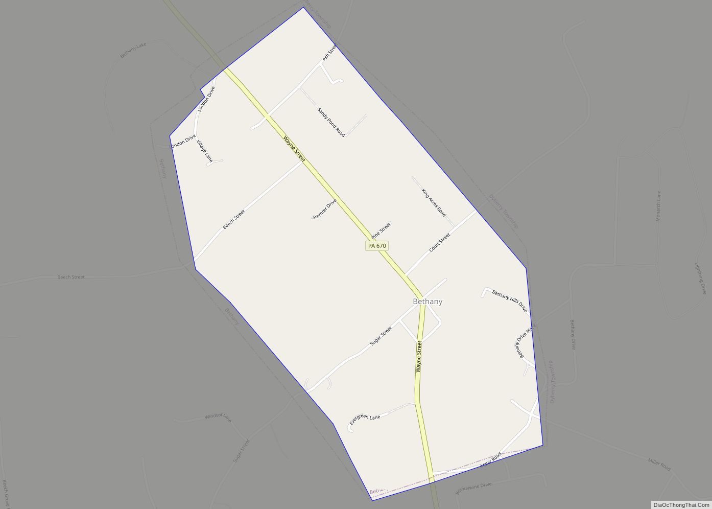
Starrucca Road Map
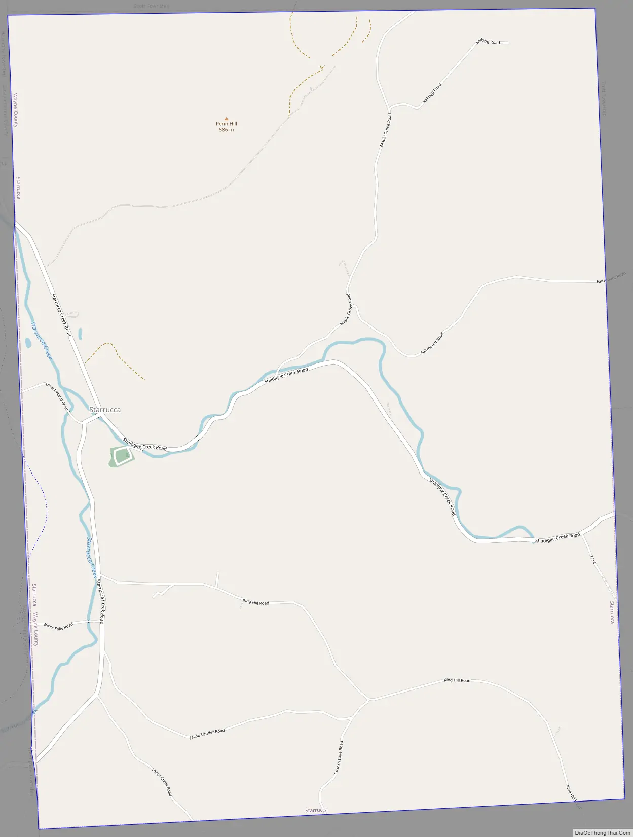
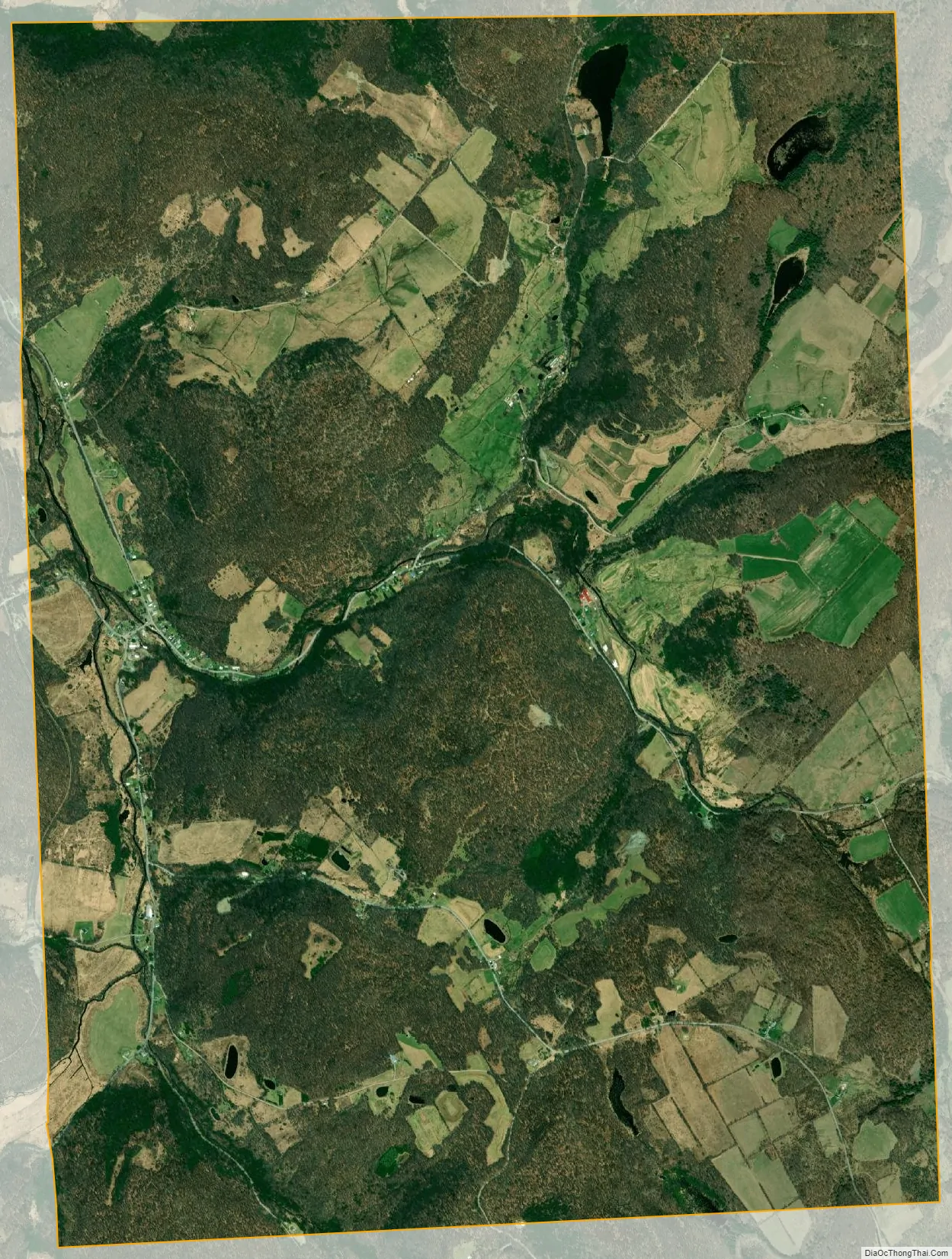
Starrucca city Satellite Map
Geography
Starrucca is located at 41°53′58″N 75°27′40″W / 41.89944°N 75.46111°W / 41.89944; -75.46111 (41.574214, -75.255966). According to the United States Census Bureau, Starrucca has a total area of 8.985 sq mi (23.27 km), of which 8.915 sq mi (23.09 km) is land and 0.070 sq mi (0.18 km), or 0.77%, is water.
See also
Map of Pennsylvania State and its subdivision:- Adams
- Allegheny
- Armstrong
- Beaver
- Bedford
- Berks
- Blair
- Bradford
- Bucks
- Butler
- Cambria
- Cameron
- Carbon
- Centre
- Chester
- Clarion
- Clearfield
- Clinton
- Columbia
- Crawford
- Cumberland
- Dauphin
- Delaware
- Elk
- Erie
- Fayette
- Forest
- Franklin
- Fulton
- Greene
- Huntingdon
- Indiana
- Jefferson
- Juniata
- Lackawanna
- Lancaster
- Lawrence
- Lebanon
- Lehigh
- Luzerne
- Lycoming
- Mc Kean
- Mercer
- Mifflin
- Monroe
- Montgomery
- Montour
- Northampton
- Northumberland
- Perry
- Philadelphia
- Pike
- Potter
- Schuylkill
- Snyder
- Somerset
- Sullivan
- Susquehanna
- Tioga
- Union
- Venango
- Warren
- Washington
- Wayne
- Westmoreland
- Wyoming
- York
- Alabama
- Alaska
- Arizona
- Arkansas
- California
- Colorado
- Connecticut
- Delaware
- District of Columbia
- Florida
- Georgia
- Hawaii
- Idaho
- Illinois
- Indiana
- Iowa
- Kansas
- Kentucky
- Louisiana
- Maine
- Maryland
- Massachusetts
- Michigan
- Minnesota
- Mississippi
- Missouri
- Montana
- Nebraska
- Nevada
- New Hampshire
- New Jersey
- New Mexico
- New York
- North Carolina
- North Dakota
- Ohio
- Oklahoma
- Oregon
- Pennsylvania
- Rhode Island
- South Carolina
- South Dakota
- Tennessee
- Texas
- Utah
- Vermont
- Virginia
- Washington
- West Virginia
- Wisconsin
- Wyoming