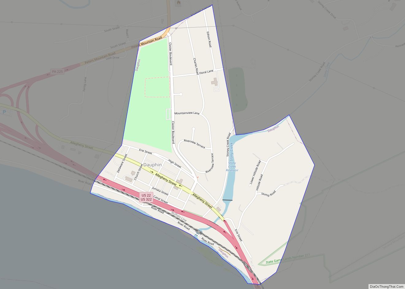
Steelton is a borough in Dauphin County, Pennsylvania, United States, 4 miles (6 km) southeast of Harrisburg. The population was 6,263 at the 2020 census. The borough is part of the Harrisburg–Carlisle Metropolitan Statistical Area.
| Name: | Steelton borough |
|---|---|
| LSAD Code: | 21 |
| LSAD Description: | borough (suffix) |
| State: | Pennsylvania |
| County: | Dauphin County |
| Incorporated: | 1880 |
| Elevation: | 315 ft (96 m) |
| Total Area: | 1.90 sq mi (4.91 km²) |
| Land Area: | 1.90 sq mi (4.91 km²) |
| Water Area: | 0.00 sq mi (0.00 km²) |
| Total Population: | 6,263 |
| Population Density: | 3,144.51/sq mi (1,214.39/km²) |
| ZIP code: | 17113 |
| Area code: | 717 |
| FIPS code: | 4273888 |
| Website: | www.steeltonpa.com |
Online Interactive Map
Click on ![]() to view map in "full screen" mode.
to view map in "full screen" mode.
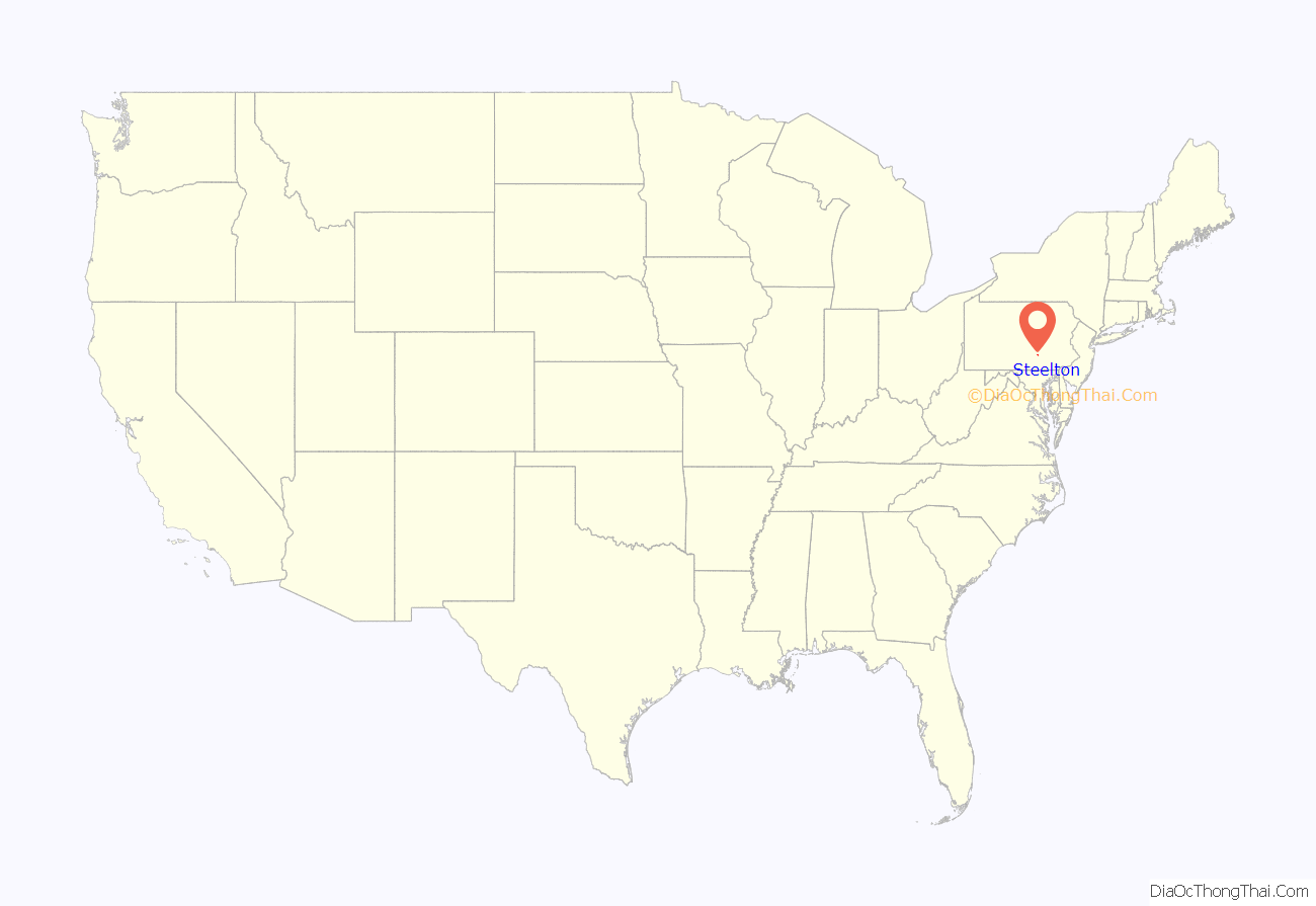
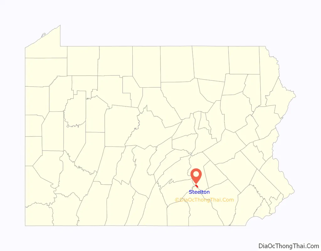
Steelton location map. Where is Steelton borough?
History
After initial habitation by Susquehannock Indians and subsequent nearby Harrisburg establishment, the area was owned by the Kelker family of Harrisburg by the 1800s. The 100-acre area was chosen in 1866 by Samuel Morse Felton Sr., president of the Pennsylvania Steel Company, to begin construction of a steel mill. This particular site was favored because of the location’s proximity to the Pennsylvania Railroad, the Pennsylvania Canal, and the nearby iron mine in Cornwall, Lebanon County. The land was purchased from owners Henry A. and Rudolph F. Kelker; then, steel pioneer Alexander Lyman Holley was chosen to build the mill along the Susquehanna River, which was completed by 1867 (along with a mansion for Felton), and began operation on May 15, 1868. Originally named “Baldwin” after Matthew Baldwin, founder of the Baldwin Locomotive Works, by 1871 it had changed to “Steel Works” after the existence of another Baldwin, Pennsylvania Post Office, and finally “Steelton” in 1879 after confusion of the Post Office with the steel mill itself. It was incorporated as a borough on January 19, 1880. The extensive steel works of the Pennsylvania Steel Company later became operated by Bethlehem Steel, ArcelorMittal, and currently Cleveland-Cliffs. Also present at one time were brickyards, a flouring mill, and machine shops.
19 people were killed and 199 injured, when a Baseball Special train from Harrisburg to Philadelphia derailed at Steelton on July 28, 1962. Three of the nine cars landed in the Susquehanna River. A passing U.S. Navy drill team participated in the rescue efforts.
Steelton Road Map
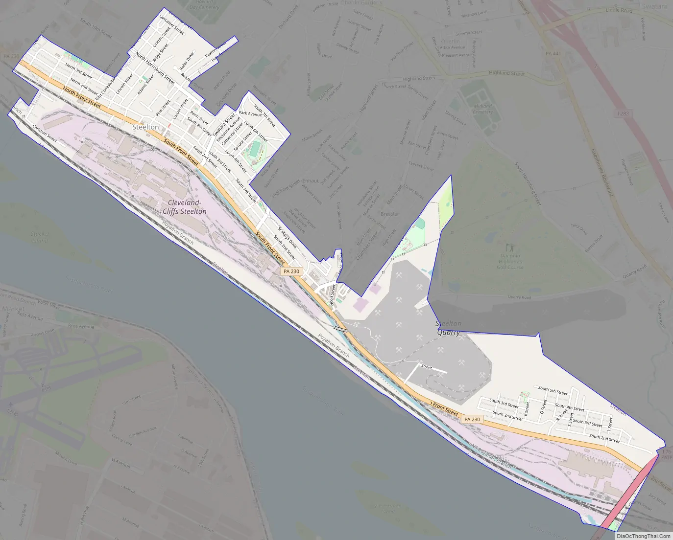
Steelton city Satellite Map
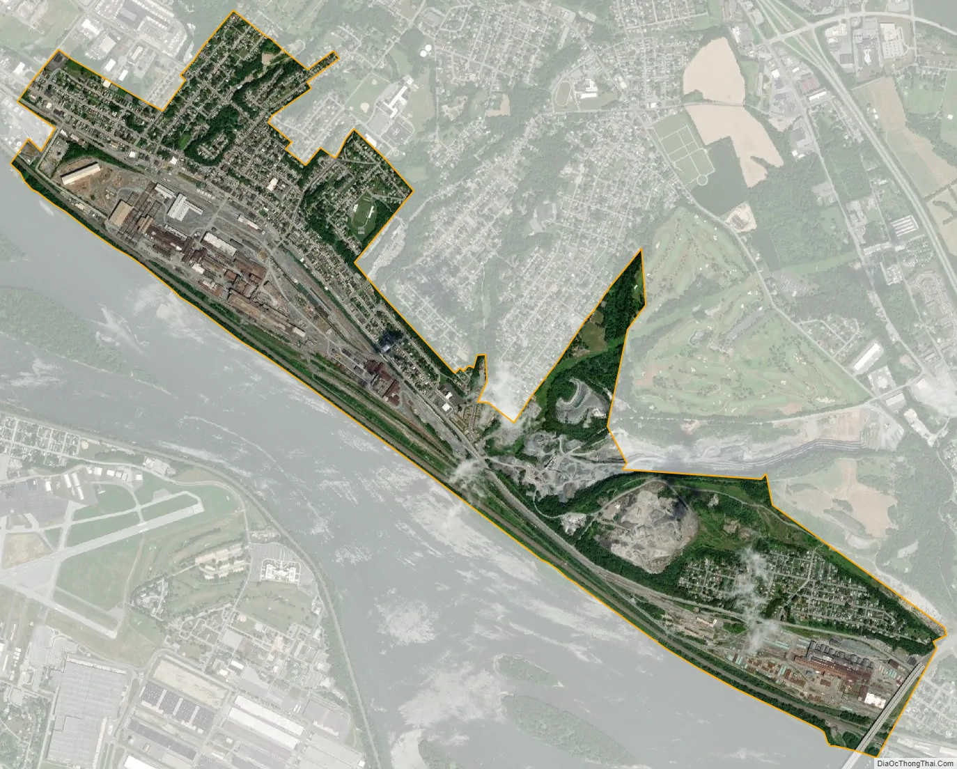
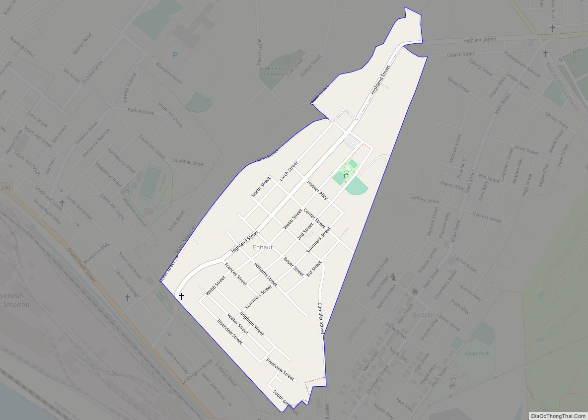
Geography
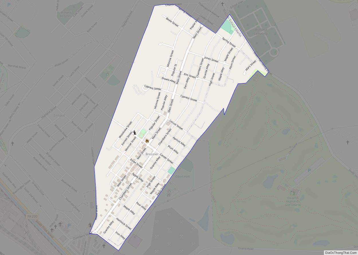
Steelton is located in southern Dauphin County along the northeast bank of the Susquehanna River. It is bordered to the southeast by the borough of Highspire and to the northeast by the unincorporated communities of Enhaut and Bressler. To the northwest, the city limits of Harrisburg, the state capital, come within 0.3 miles (0.48 km) of the borough limits of Steelton; the city center is 4 miles (6 km) northwest of Steelton’s center.
According to the United States Census Bureau, the borough has a total area of 1.9 square miles (4.9 km), all land.
Pennsylvania Route 230 (Front Street) is the main road through the borough, connecting Harrisburg to the northwest with Highspire and Middletown to the southeast.
See also
Map of Pennsylvania State and its subdivision:- Adams
- Allegheny
- Armstrong
- Beaver
- Bedford
- Berks
- Blair
- Bradford
- Bucks
- Butler
- Cambria
- Cameron
- Carbon
- Centre
- Chester
- Clarion
- Clearfield
- Clinton
- Columbia
- Crawford
- Cumberland
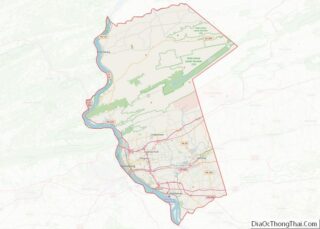
- Dauphin
- Delaware
- Elk
- Erie
- Fayette
- Forest
- Franklin
- Fulton
- Greene
- Huntingdon
- Indiana
- Jefferson
- Juniata
- Lackawanna
- Lancaster
- Lawrence
- Lebanon
- Lehigh
- Luzerne
- Lycoming
- Mc Kean
- Mercer
- Mifflin
- Monroe
- Montgomery
- Montour
- Northampton
- Northumberland
- Perry
- Philadelphia
- Pike
- Potter
- Schuylkill
- Snyder
- Somerset
- Sullivan
- Susquehanna
- Tioga
- Union
- Venango
- Warren
- Washington
- Wayne
- Westmoreland
- Wyoming
- York
- Alabama
- Alaska
- Arizona
- Arkansas
- California
- Colorado
- Connecticut
- Delaware
- District of Columbia
- Florida
- Georgia
- Hawaii
- Idaho
- Illinois
- Indiana
- Iowa
- Kansas
- Kentucky
- Louisiana
- Maine
- Maryland
- Massachusetts
- Michigan
- Minnesota
- Mississippi
- Missouri
- Montana
- Nebraska
- Nevada
- New Hampshire
- New Jersey
- New Mexico
- New York
- North Carolina
- North Dakota
- Ohio
- Oklahoma
- Oregon
- Pennsylvania
- Rhode Island
- South Carolina
- South Dakota
- Tennessee
- Texas
- Utah
- Vermont
- Virginia
- Washington
- West Virginia
- Wisconsin
- Wyoming