Stewartstown is a borough in York County, Pennsylvania, United States. The population was 2,125 at the 2020 census.
| Name: | Stewartstown borough |
|---|---|
| LSAD Code: | 21 |
| LSAD Description: | borough (suffix) |
| State: | Pennsylvania |
| County: | York County |
| Founded: | 1767 |
| Elevation: | 870.1 ft (265.2 m) |
| Total Area: | 0.84 sq mi (2.18 km²) |
| Land Area: | 0.84 sq mi (2.18 km²) |
| Water Area: | 0.00 sq mi (0.00 km²) |
| Total Population: | 2,129 |
| Population Density: | 2,525.50/sq mi (975.06/km²) |
| ZIP code: | 17363 |
| FIPS code: | 4274104 |
| Website: | www.stewartstown.org |
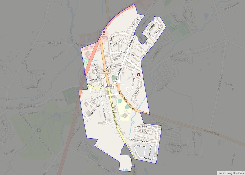
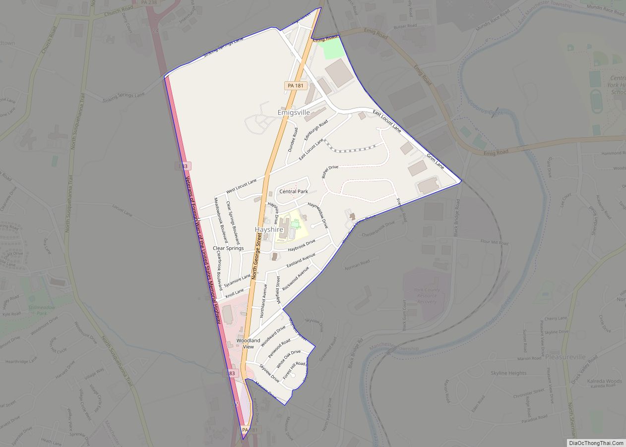
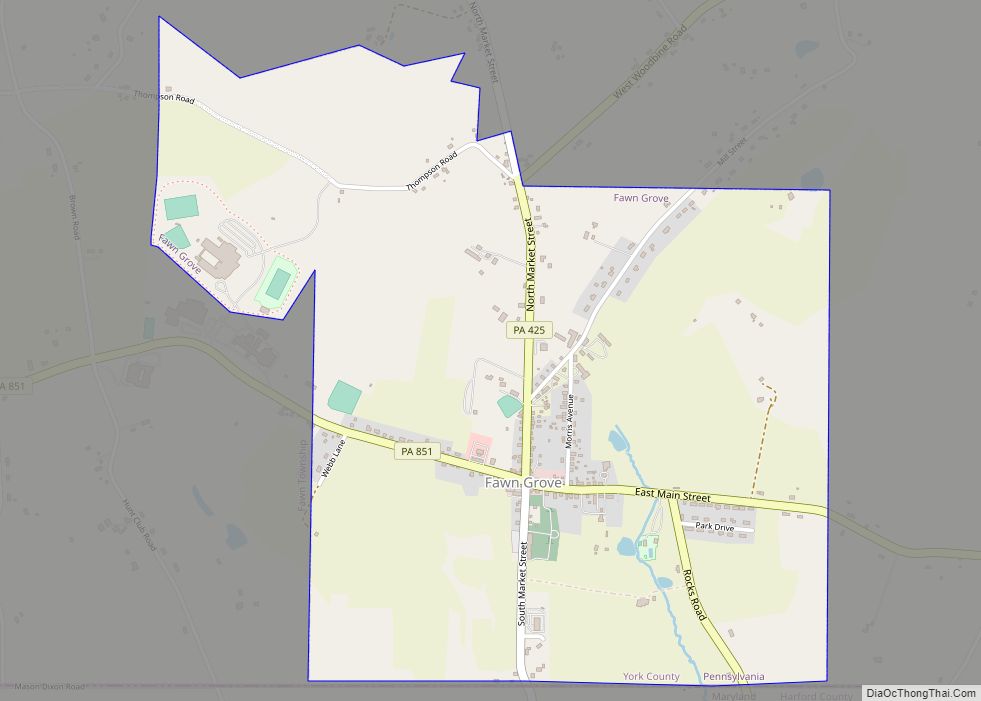
Online Interactive Map
Click on ![]() to view map in "full screen" mode.
to view map in "full screen" mode.
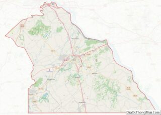
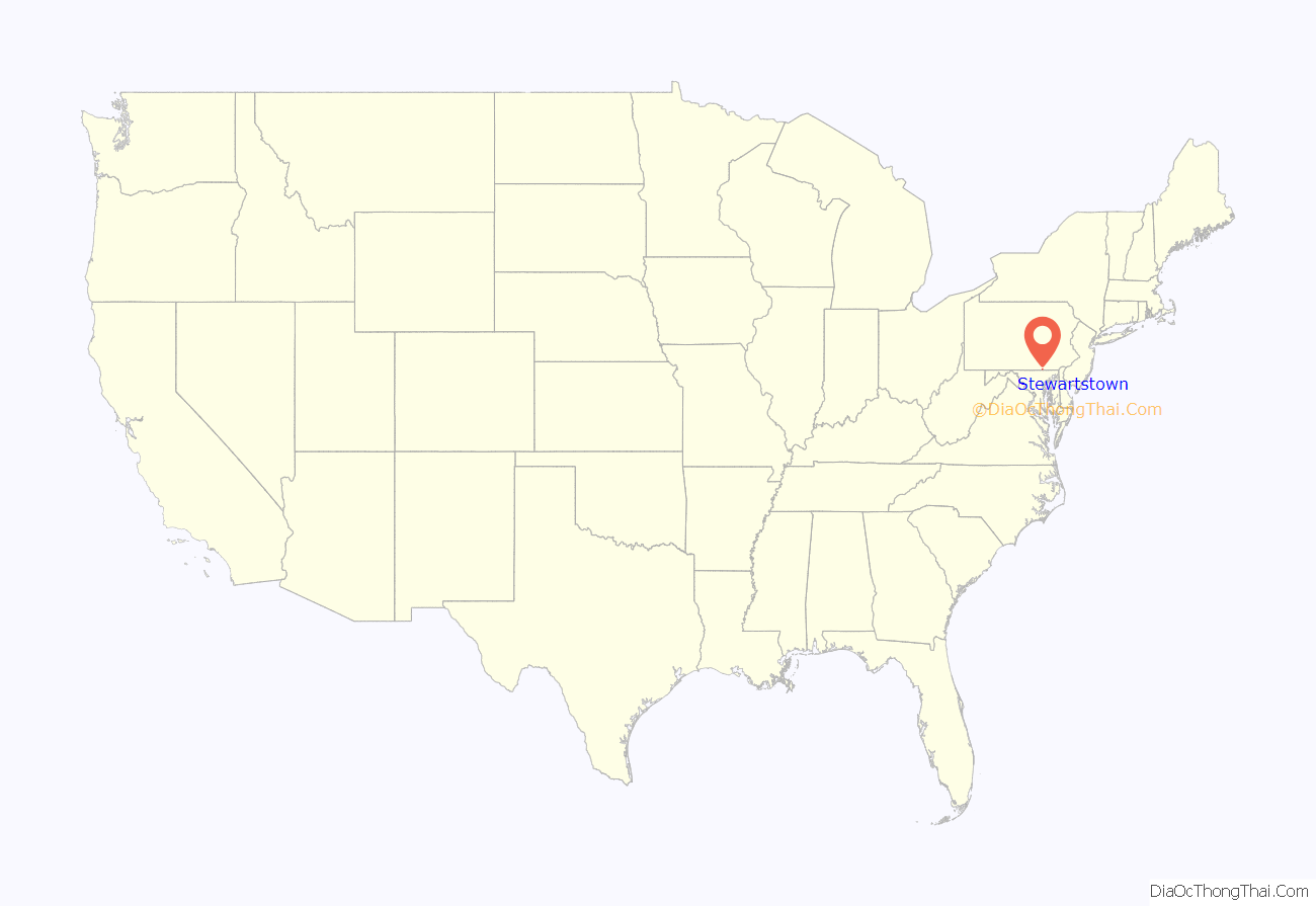
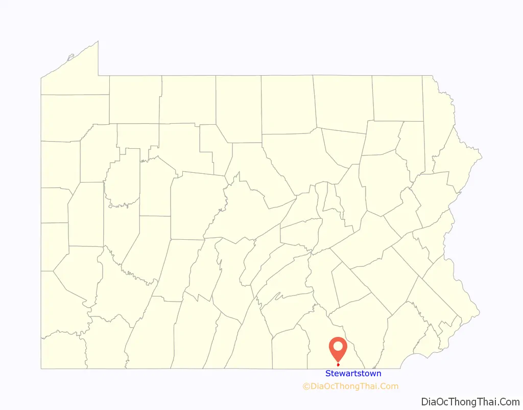
Stewartstown location map. Where is Stewartstown borough?
History
There were settlers in the Stewartstown area as early as 1750. This part of southern York County was claimed by both Maryland and Pennsylvania, and the boundary dispute was settled by the surveying of the Mason–Dixon Line in 1767.
By 1777, a road had been well established between York and Baltimore, and Stewartstown’s main street of today lies along a portion of the road. Around 1812, a group of farmers set out to establish a town in south central Hopewell Township. The earliest buildings were several houses, a workshop for making furniture and wheels, a store, and a tavern. Anthony Stewart, owner of the workshop, served as the village clerk, and his shop became the main meeting place.
The village was first known as Meadstown, after Benedict Meads, owner of the tavern and the store. Later it became known as Mechanicsburg because of a large number of tradesmen who lived in the community. By 1828, the town had its own post office, and Stewart was appointed the first postmaster. There was already another Pennsylvania town named Mechanicsburg, so postal officials assigned the name “Guilford” to the community. Through the efforts of Anthony Stewart, with the help of Judge Adam Ebaugh, the Post Office Department changed the town’s postmark to “Stewartstown” on March 24, 1832.
The Stewartstown Engine House, Stewartstown Railroad and Stewartstown Railroad Station are listed on the National Register of Historic Places.
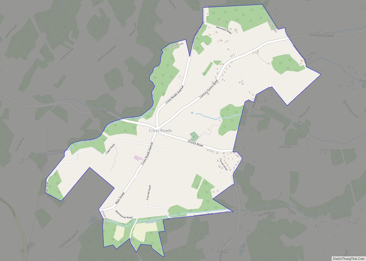
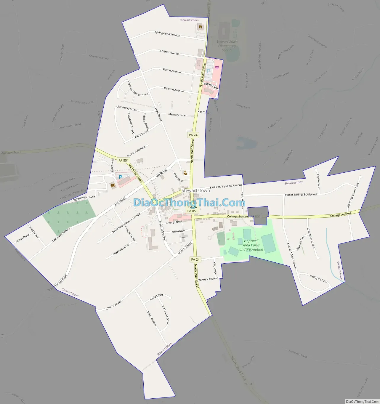
Stewartstown Road Map
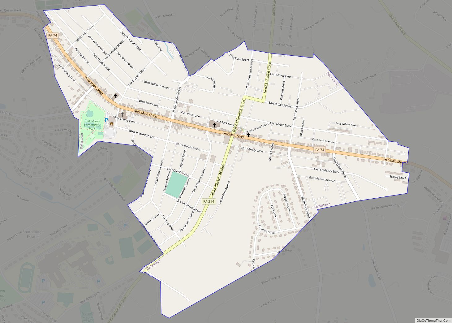
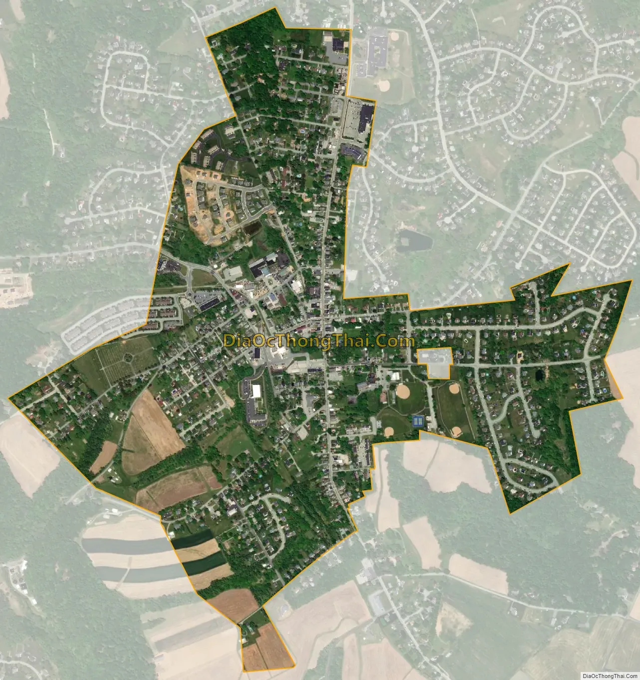
Stewartstown city Satellite Map
Geography
Stewartstown is located at 39°45′15″N 76°35′35″W / 39.75417°N 76.59306°W / 39.75417; -76.59306 (39.754106, -76.593181).
According to the United States Census Bureau, the borough has a total area of 0.8 square miles (2.1 km), all land.
See also
Map of Pennsylvania State and its subdivision:- Adams
- Allegheny
- Armstrong
- Beaver
- Bedford
- Berks
- Blair
- Bradford
- Bucks
- Butler
- Cambria
- Cameron
- Carbon
- Centre
- Chester
- Clarion
- Clearfield
- Clinton
- Columbia
- Crawford
- Cumberland
- Dauphin
- Delaware
- Elk
- Erie
- Fayette
- Forest
- Franklin
- Fulton
- Greene
- Huntingdon
- Indiana
- Jefferson
- Juniata
- Lackawanna
- Lancaster
- Lawrence
- Lebanon
- Lehigh
- Luzerne
- Lycoming
- Mc Kean
- Mercer
- Mifflin
- Monroe
- Montgomery
- Montour
- Northampton
- Northumberland
- Perry
- Philadelphia
- Pike
- Potter
- Schuylkill
- Snyder
- Somerset
- Sullivan
- Susquehanna
- Tioga
- Union
- Venango
- Warren
- Washington
- Wayne
- Westmoreland
- Wyoming
- York
- Alabama
- Alaska
- Arizona
- Arkansas
- California
- Colorado
- Connecticut
- Delaware
- District of Columbia
- Florida
- Georgia
- Hawaii
- Idaho
- Illinois
- Indiana
- Iowa
- Kansas
- Kentucky
- Louisiana
- Maine
- Maryland
- Massachusetts
- Michigan
- Minnesota
- Mississippi
- Missouri
- Montana
- Nebraska
- Nevada
- New Hampshire
- New Jersey
- New Mexico
- New York
- North Carolina
- North Dakota
- Ohio
- Oklahoma
- Oregon
- Pennsylvania
- Rhode Island
- South Carolina
- South Dakota
- Tennessee
- Texas
- Utah
- Vermont
- Virginia
- Washington
- West Virginia
- Wisconsin
- Wyoming