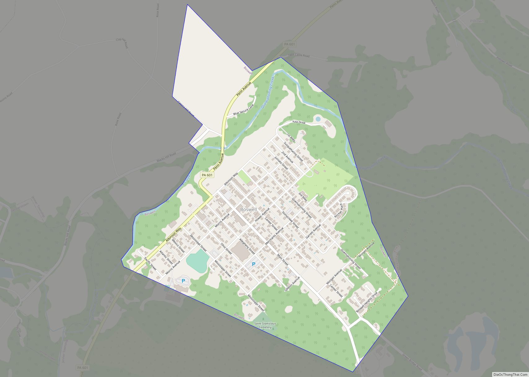
Stoystown is a borough in Somerset County, Pennsylvania, United States. It is part of the Johnstown, Pennsylvania, Metropolitan Statistical Area. The population was 300 at the 2020 census. Stoystown is located south-southeast of Johnstown and northeast of Somerset.
| Name: | Stoystown borough |
|---|---|
| LSAD Code: | 21 |
| LSAD Description: | borough (suffix) |
| State: | Pennsylvania |
| County: | Somerset County |
| Incorporated: | March 29, 1819 |
| Total Area: | 0.19 sq mi (0.49 km²) |
| Land Area: | 0.19 sq mi (0.49 km²) |
| Water Area: | 0.00 sq mi (0.00 km²) |
| Total Population: | 300 |
| Population Density: | 1,578.95/sq mi (609.08/km²) |
| Area code: | 814 |
| FIPS code: | 4274672 |
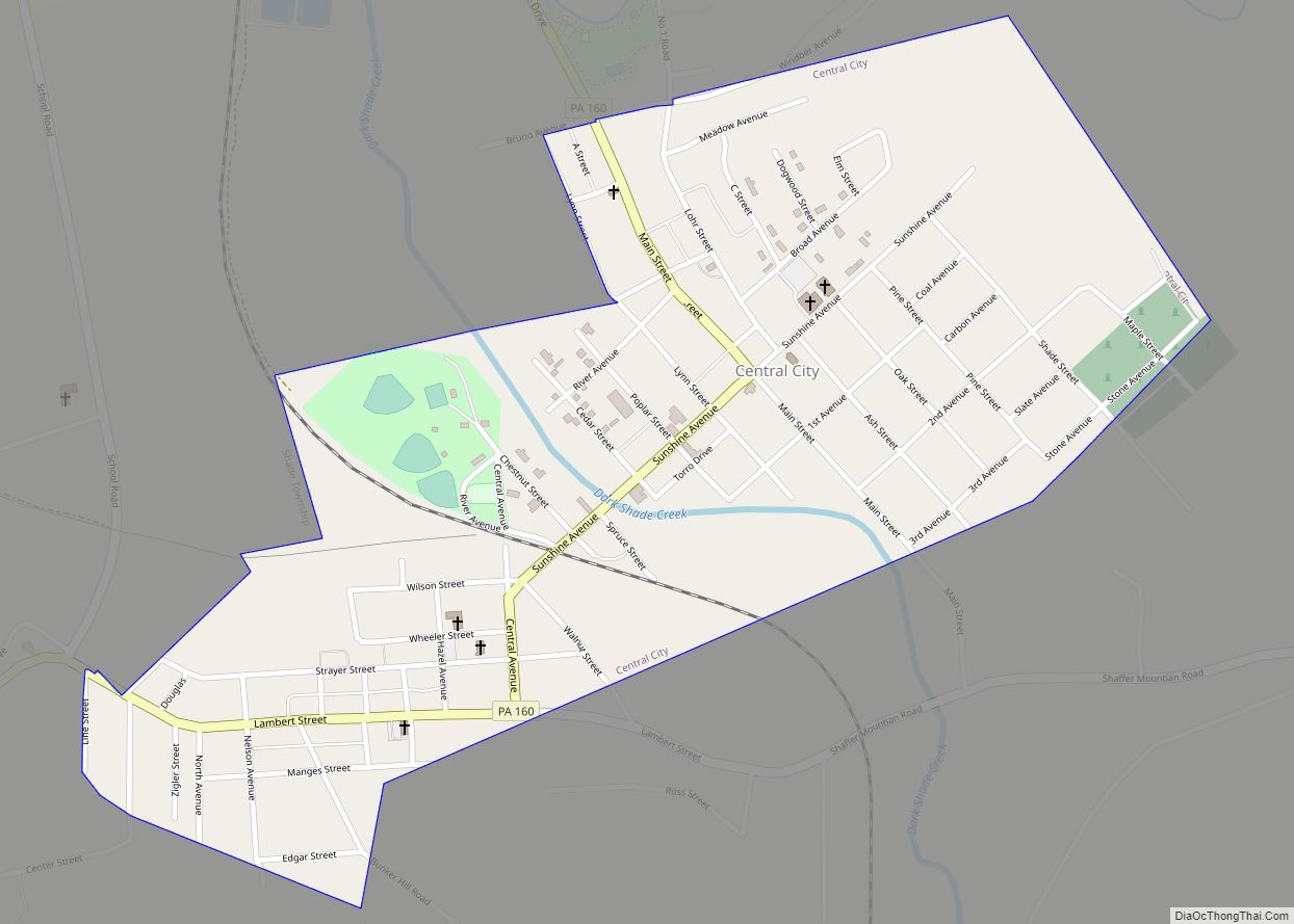
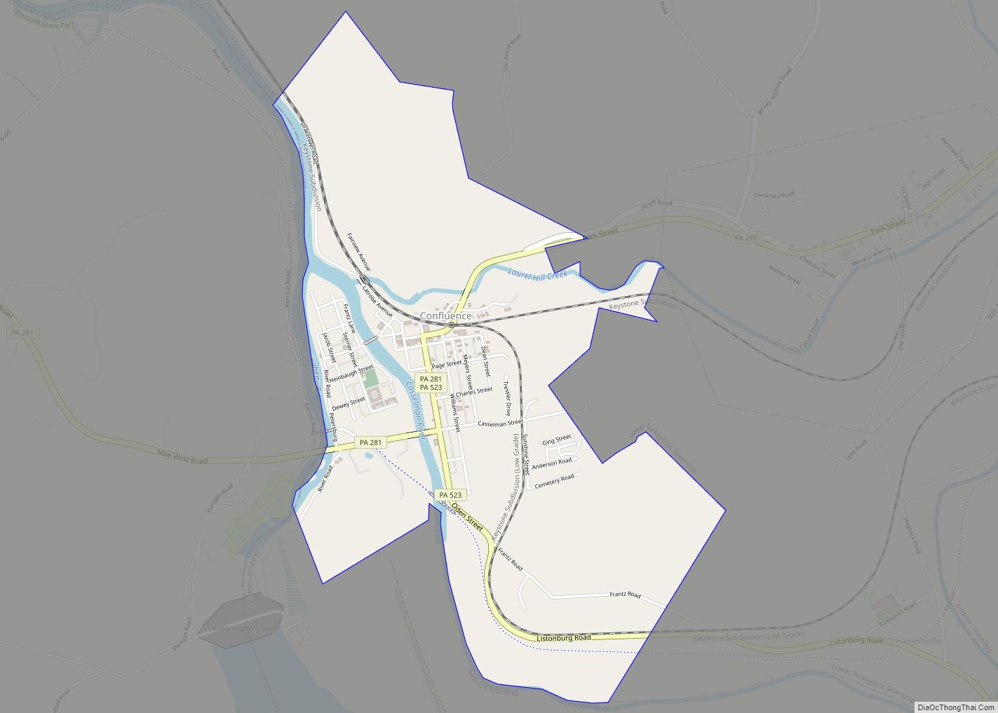
Online Interactive Map
Click on ![]() to view map in "full screen" mode.
to view map in "full screen" mode.
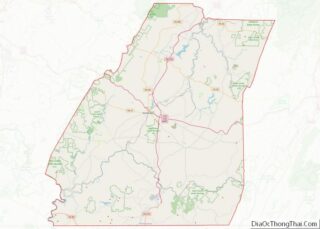
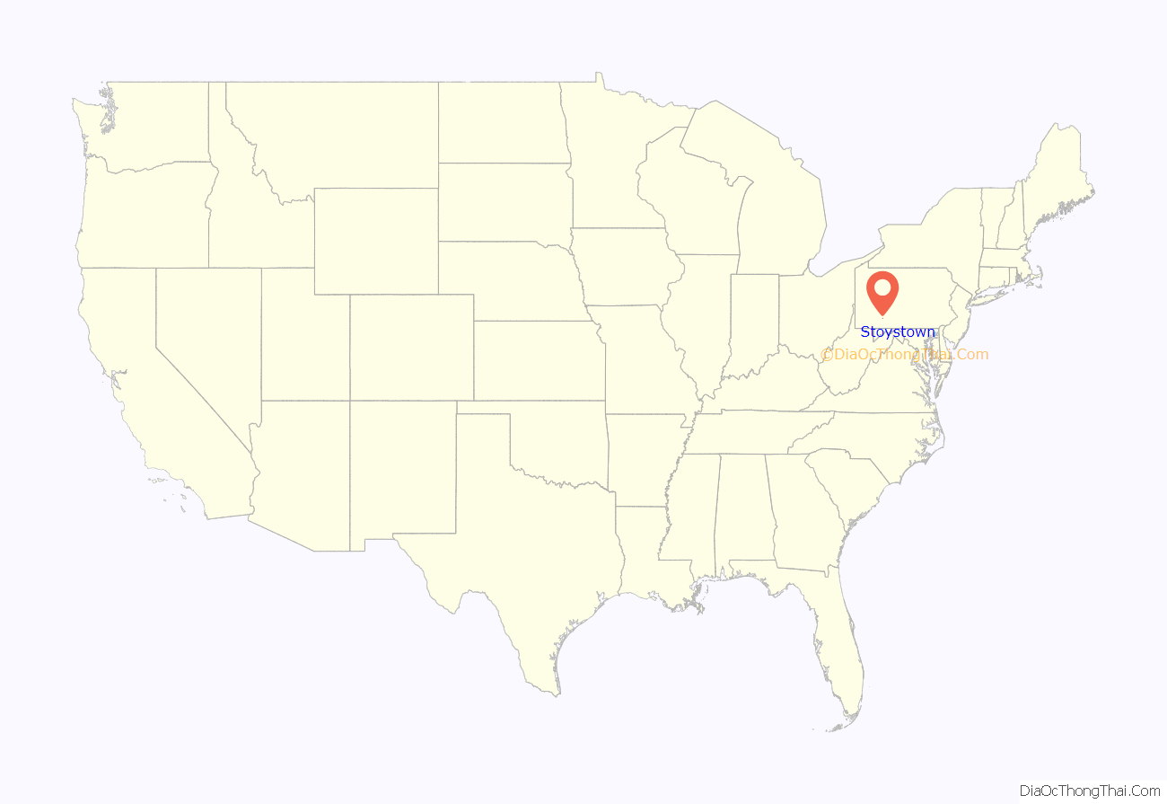
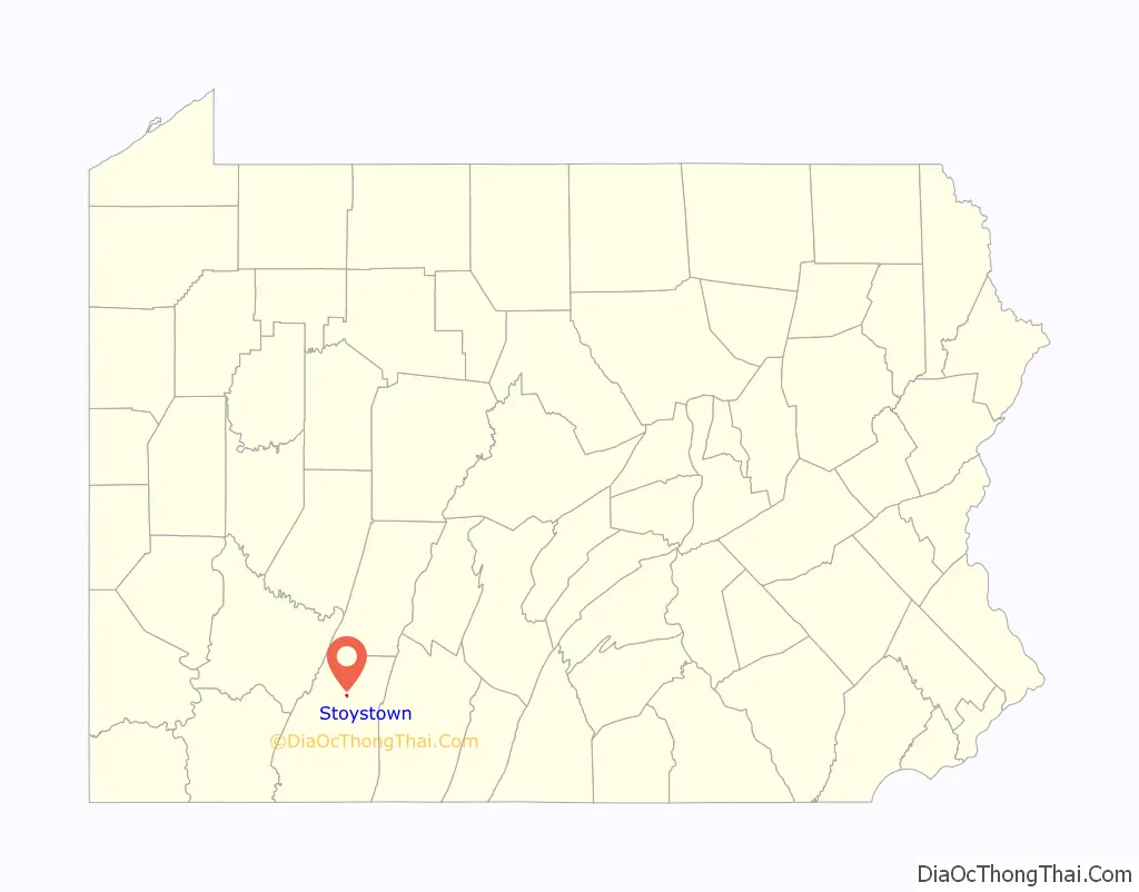
Stoystown location map. Where is Stoystown borough?
History
The site of the Stony Creek Encampment is near the eastern end of Stoystown, slightly north of U.S. Route 30. This small supply depot was located along Forbes Road during the French & Indian War.
Daniel Stoy was one of the first settlers west of the mountains. From the records of Harmon Husband, we find that Stoy lived along the Forbes Road about 1762 near the Casper Stotler place in Shade Township, that he made his living by hunting, and that he was driven from his cabin home several times by the Indians, taking refuge at Fort Bedford. The records of Husband state that on one occasion Stoy shot an Indian intruder from his cabin door. With the construction of the Pennsylvania Road, Stoy decided to move to a place about ten miles farther west along the road where he received a warrant for more than three hundred acres of land. Here on this tract of land along the Pennsylvania Road, he founded the town of Stoystown in 1774. Stoy served as a volunteer in the Revolutionary War with the rank of corporal. It is thought that he also served in the French and Indian War, although the records are rather vague. Henry was born in 1747. Married Sally Stoy, daughter of Daniel M. Stoy, who sold lots and laid out the town of Stoystown about 1800, one of the oldest towns in Somerset Co., Pennsylvania. Daniel M. Stoy served as captain in Gen. George Washington’s army for 12 months. He was discharged at Long Island, New York, July 1778. Later he moved to what is now Somerset Co., Pennsylvania. He was a justice of the peace. He served in the General Assembly in 1809–10 and 1813. He died 1834. D.A.R. marker on grave. Daniel Stoy, born in England, May 3, 1738, died January 11, 1835, in Stoystown, Somerset Co., Pennsylvania. He was married about 1759 to Sarah Higgins of Scotland (April 4, 1737 – October 31, 1818. Soon after their marriage they came to America and located at Conchohockin, Pennsylvania, where their six children were born, viz., (1) Sarah (Sally), the oldest daughter, married Henry Beaver; (2)Daniel married a Miss Shedrick; (3)Ned never married; (4) John married Elizabeth Pisel; (5) William; (6) Margaret, the youngest child (Conchohockin, October 15, 1780 – December 6, 1868). She was 7 years old when her parents moved to what was then Bedford Co., now Somerset Co., Pennsylvania. She married Abraham Spangler and they had 14 children. Henry Beaver moved his family from Stoystown, Pennsylvania, to Greensburg, Westmoreland Co., Pennsylvania. They had one son that we know of, John F. Beaver, who read law at Greensburg, Pennsylvania. The Stoystown Historic District and Hite House are listed on the National Register of Historic Places. On September 11, 2001, Flight 93 crashed near the town.
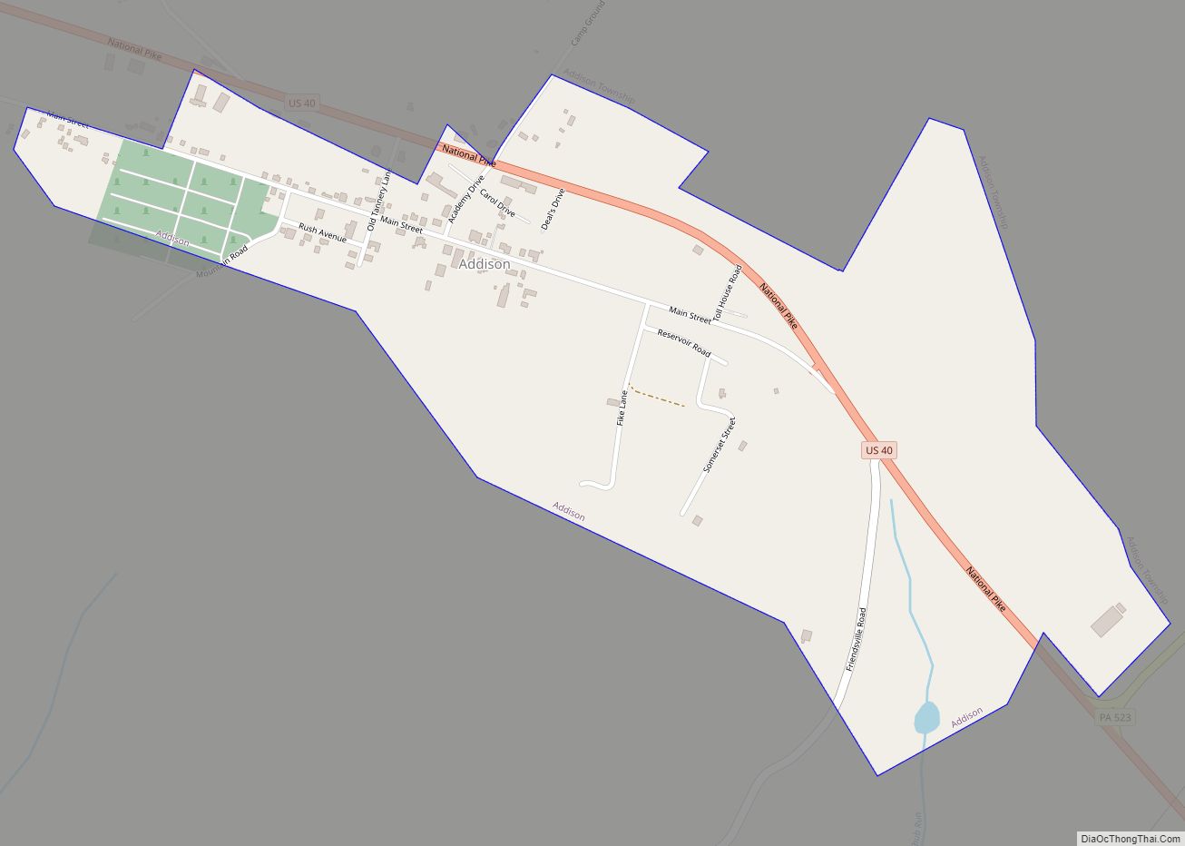
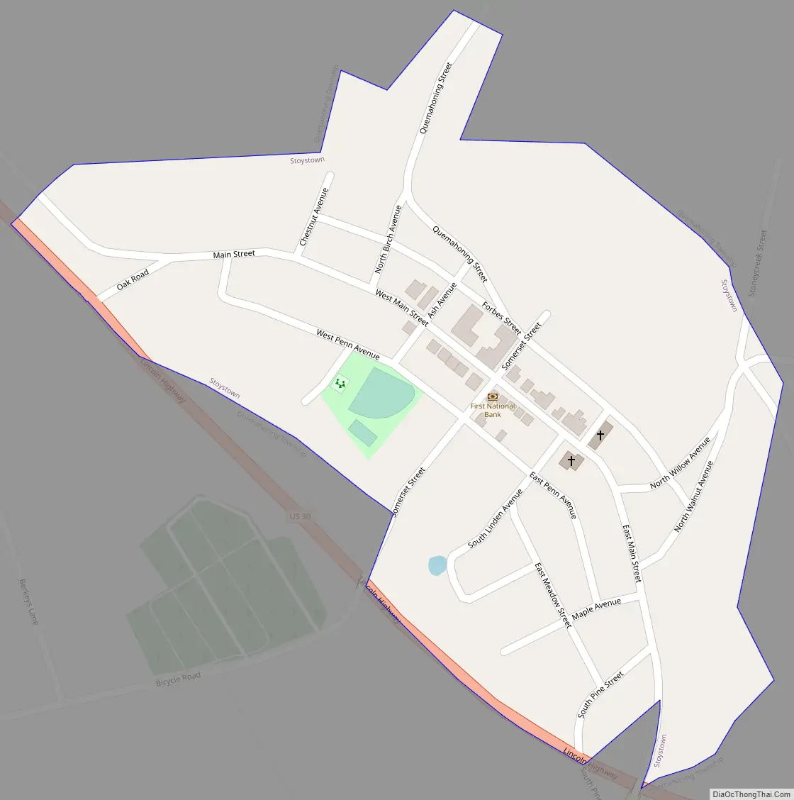
Stoystown Road Map
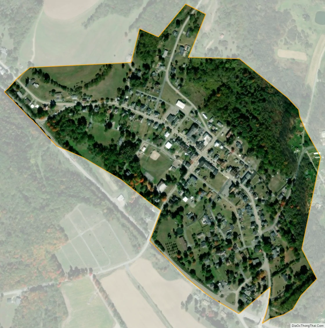
Stoystown city Satellite Map
Geography
Stoystown is located at 40°6′10″N 78°57′14″W / 40.10278°N 78.95389°W / 40.10278; -78.95389 (40.102753, -78.953869). The borough is surrounded by Quemahoning Township.
According to the United States Census Bureau, the borough has a total area of 0.2 square miles (0.52 km), all land.
See also
Map of Pennsylvania State and its subdivision:- Adams
- Allegheny
- Armstrong
- Beaver
- Bedford
- Berks
- Blair
- Bradford
- Bucks
- Butler
- Cambria
- Cameron
- Carbon
- Centre
- Chester
- Clarion
- Clearfield
- Clinton
- Columbia
- Crawford
- Cumberland
- Dauphin
- Delaware
- Elk
- Erie
- Fayette
- Forest
- Franklin
- Fulton
- Greene
- Huntingdon
- Indiana
- Jefferson
- Juniata
- Lackawanna
- Lancaster
- Lawrence
- Lebanon
- Lehigh
- Luzerne
- Lycoming
- Mc Kean
- Mercer
- Mifflin
- Monroe
- Montgomery
- Montour
- Northampton
- Northumberland
- Perry
- Philadelphia
- Pike
- Potter
- Schuylkill
- Snyder
- Somerset
- Sullivan
- Susquehanna
- Tioga
- Union
- Venango
- Warren
- Washington
- Wayne
- Westmoreland
- Wyoming
- York
- Alabama
- Alaska
- Arizona
- Arkansas
- California
- Colorado
- Connecticut
- Delaware
- District of Columbia
- Florida
- Georgia
- Hawaii
- Idaho
- Illinois
- Indiana
- Iowa
- Kansas
- Kentucky
- Louisiana
- Maine
- Maryland
- Massachusetts
- Michigan
- Minnesota
- Mississippi
- Missouri
- Montana
- Nebraska
- Nevada
- New Hampshire
- New Jersey
- New Mexico
- New York
- North Carolina
- North Dakota
- Ohio
- Oklahoma
- Oregon
- Pennsylvania
- Rhode Island
- South Carolina
- South Dakota
- Tennessee
- Texas
- Utah
- Vermont
- Virginia
- Washington
- West Virginia
- Wisconsin
- Wyoming