Strattanville is a borough in Clarion County, Pennsylvania, United States. The population was 537 at the 2020 census.
| Name: | Strattanville borough |
|---|---|
| LSAD Code: | 21 |
| LSAD Description: | borough (suffix) |
| State: | Pennsylvania |
| County: | Clarion County |
| Incorporated: | 1850 |
| Elevation: | 1,531 ft (467 m) |
| Total Area: | 0.50 sq mi (1.30 km²) |
| Land Area: | 0.50 sq mi (1.30 km²) |
| Water Area: | 0.00 sq mi (0.00 km²) |
| Total Population: | 537 |
| Population Density: | 996.00/sq mi (384.34/km²) |
| ZIP code: | 16258 |
| FIPS code: | 4274728 |
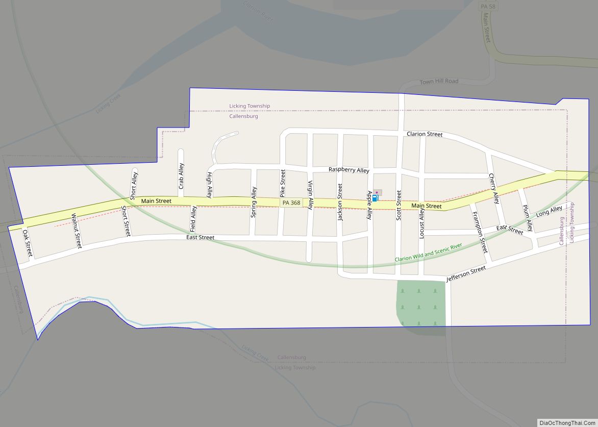
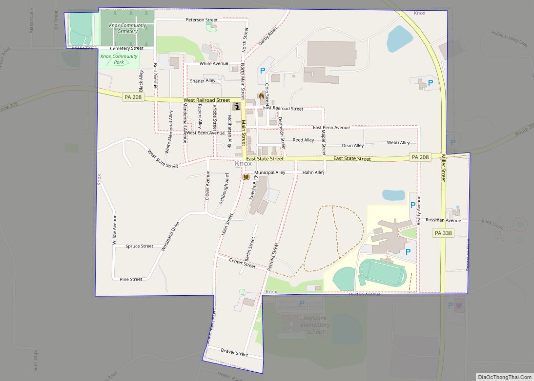
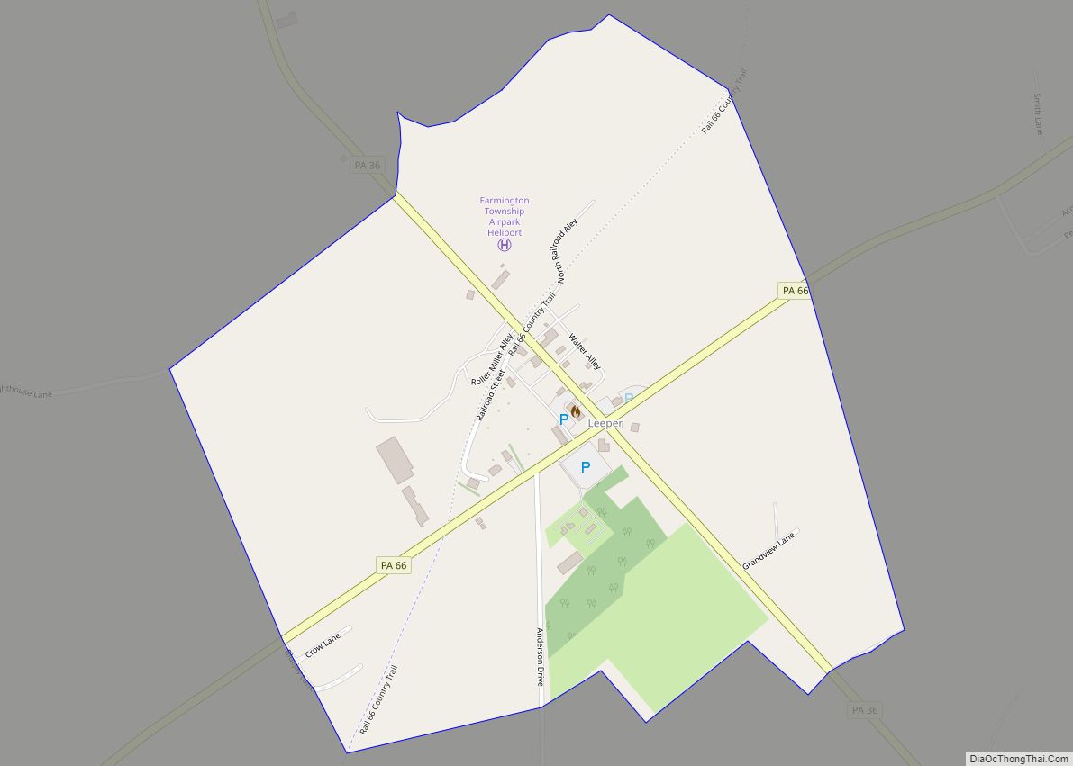
Online Interactive Map
Click on ![]() to view map in "full screen" mode.
to view map in "full screen" mode.
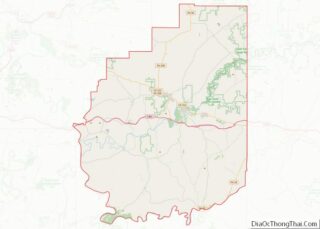
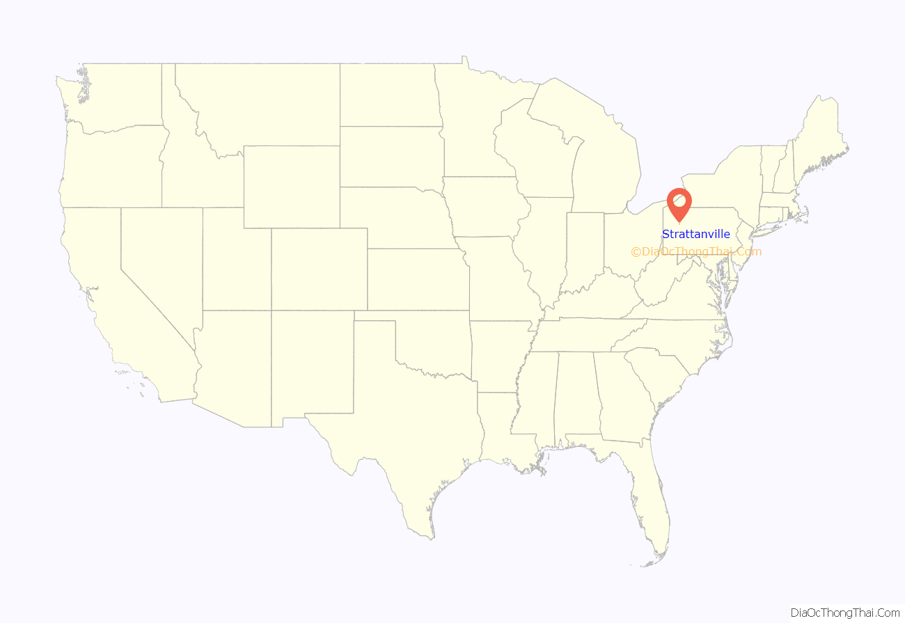
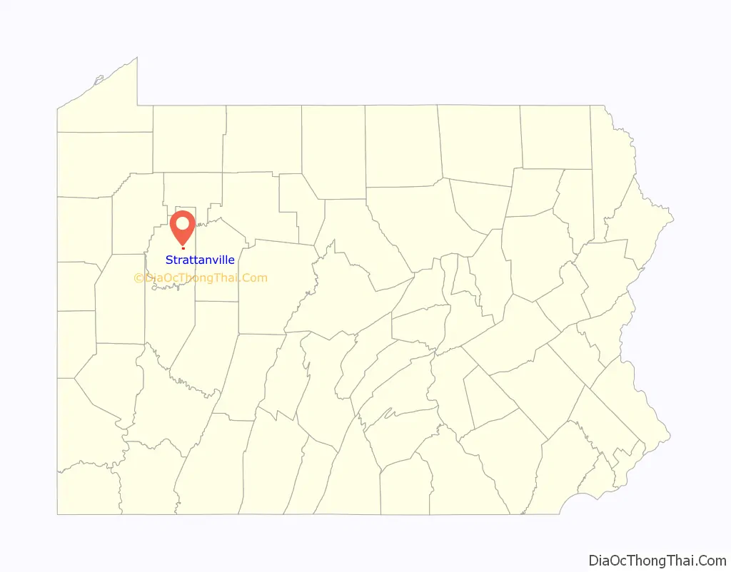
Strattanville location map. Where is Strattanville borough?
History
Originally laid out in 1828 by John Strattan Sr., Strattanville lays claim to be the oldest town in Clarion County. Indeed, the first settlement of the town predates the county by 11 years. In 1850 the village incorporated into a borough. As one of the three original towns of Clarion County, it was once in consideration for the county seat. Due to the political turmoil of the time, it was elected to erect a new, separate municipality to hold the county offices in Clarion, Pennsylvania only three miles away. Strattanville still has many auspices of this age in its history. The old school house now houses the local American Legion. The original store owned by Mr. Strattan still stands at the southeastern corner of Market St. and Main St. However, only the drug and furniture store are easily identifiable of the “four dry goods and grocery stores, a postoffice, one drug store, one hardware store, one foundry, two boot and shoe shops, two millinery establishments, one blacksmith shop, one tannery, one furniture store and undertaking establishment, one barber shop, a Western Union telegraph office, two hotels, one livery stable, and a lumber office” that once populated the borough.
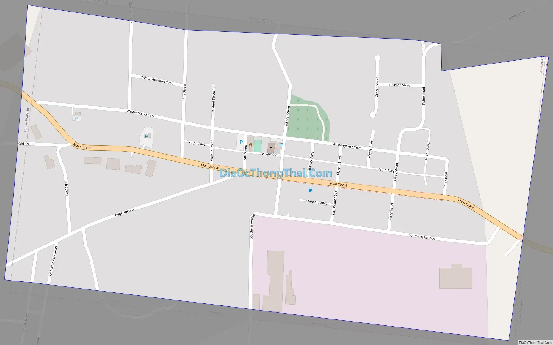
Strattanville Road Map
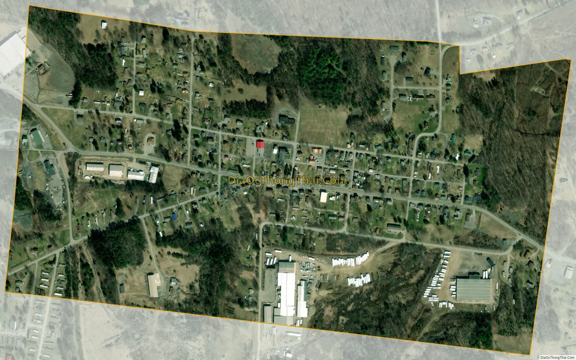
Strattanville city Satellite Map
Geography
Strattanville is located in eastern Clarion County at 41°12′9″N 79°19′44″W / 41.20250°N 79.32889°W / 41.20250; -79.32889 (41.202482, -79.328934). U.S. Route 322 passes through the borough, leading west 3 miles (5 km) to Clarion, the county seat, and east 4.5 miles (7.2 km) to Interstate 80. Exit 64 on I-80 is 3 miles (5 km) southwest of Strattanville via secondary roads.
According to the United States Census Bureau, the borough has a total area of 0.51 square miles (1.31 km), all land.
See also
Map of Pennsylvania State and its subdivision:- Adams
- Allegheny
- Armstrong
- Beaver
- Bedford
- Berks
- Blair
- Bradford
- Bucks
- Butler
- Cambria
- Cameron
- Carbon
- Centre
- Chester
- Clarion
- Clearfield
- Clinton
- Columbia
- Crawford
- Cumberland
- Dauphin
- Delaware
- Elk
- Erie
- Fayette
- Forest
- Franklin
- Fulton
- Greene
- Huntingdon
- Indiana
- Jefferson
- Juniata
- Lackawanna
- Lancaster
- Lawrence
- Lebanon
- Lehigh
- Luzerne
- Lycoming
- Mc Kean
- Mercer
- Mifflin
- Monroe
- Montgomery
- Montour
- Northampton
- Northumberland
- Perry
- Philadelphia
- Pike
- Potter
- Schuylkill
- Snyder
- Somerset
- Sullivan
- Susquehanna
- Tioga
- Union
- Venango
- Warren
- Washington
- Wayne
- Westmoreland
- Wyoming
- York
- Alabama
- Alaska
- Arizona
- Arkansas
- California
- Colorado
- Connecticut
- Delaware
- District of Columbia
- Florida
- Georgia
- Hawaii
- Idaho
- Illinois
- Indiana
- Iowa
- Kansas
- Kentucky
- Louisiana
- Maine
- Maryland
- Massachusetts
- Michigan
- Minnesota
- Mississippi
- Missouri
- Montana
- Nebraska
- Nevada
- New Hampshire
- New Jersey
- New Mexico
- New York
- North Carolina
- North Dakota
- Ohio
- Oklahoma
- Oregon
- Pennsylvania
- Rhode Island
- South Carolina
- South Dakota
- Tennessee
- Texas
- Utah
- Vermont
- Virginia
- Washington
- West Virginia
- Wisconsin
- Wyoming