Summerhill is a borough in Cambria County, Pennsylvania, United States. The population was 490 at the 2010 census.
| Name: | Summerhill borough |
|---|---|
| LSAD Code: | 21 |
| LSAD Description: | borough (suffix) |
| State: | Pennsylvania |
| County: | Cambria County |
| Incorporated: | 1892 |
| Elevation: | 1,588 ft (484 m) |
| Total Area: | 0.33 sq mi (0.86 km²) |
| Land Area: | 0.33 sq mi (0.85 km²) |
| Water Area: | 0.01 sq mi (0.01 km²) |
| Total Population: | 490 |
| Population Density: | 1,353.66/sq mi (522.79/km²) |
| ZIP code: | 15958 |
| Area code: | 814 |
| FIPS code: | 4275136 |
| GNISfeature ID: | 2086657 |
Online Interactive Map
Click on ![]() to view map in "full screen" mode.
to view map in "full screen" mode.
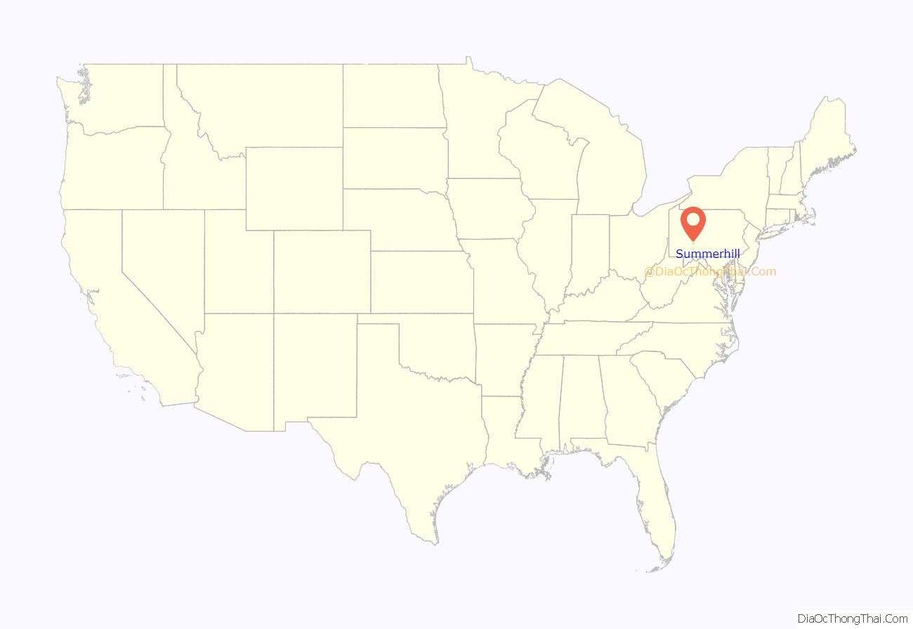
Summerhill location map. Where is Summerhill borough?

History
Summerhill, a small borough in the Allegheny Mountains in southwestern Pennsylvania, was settled in the early 1800s and grew in large part from the Allegheny Portage Railroad and the Pennsylvania Railroad.
The Thomas and Barbara Croyle family was one of the earliest recorded families to settle in the town in 1794. Their family homestead, a two-story stone structure that still stands, served the family as a fortress against Indian attacks. According to some sources, Indians burned the Croyles’ cabin and property, causing the family to seek refuge at Fort Bedford. By 1800, Barbara Croyle chose to rebuild their homestead with stone; she limited windows to two sides of the house to keep it stronger if attacked.
The Croyle family built a grist mill, known locally as Croyle’s Mill, and a dam on the Little Conemaugh River to operate it. The establishment of the mill was significant enough for the county to notice and fund its first public works project, a dirt road from Ebensburg to Croyle’s Mill. The mill operated into the 1900s.
In February 1810, Summerhill Township was devolved from larger Conemaugh Township, one of three original townships established in Cambria County. Originally spelled “Somerhill”, the township was likely named for Joseph and David Somers, some of its early, chief landowners.
In the 1820s, Summerhill Township covered a large swath of land in the north-central part of the current county, including present-day Jackson, Munster, Washington, Portage and Blacklick townships. The existing borough took its name from Summerhill Township and was then known as Summer Hill. Records from 1926 indicate the borough’s current spelling, Summerhill.
Summerhill Road Map
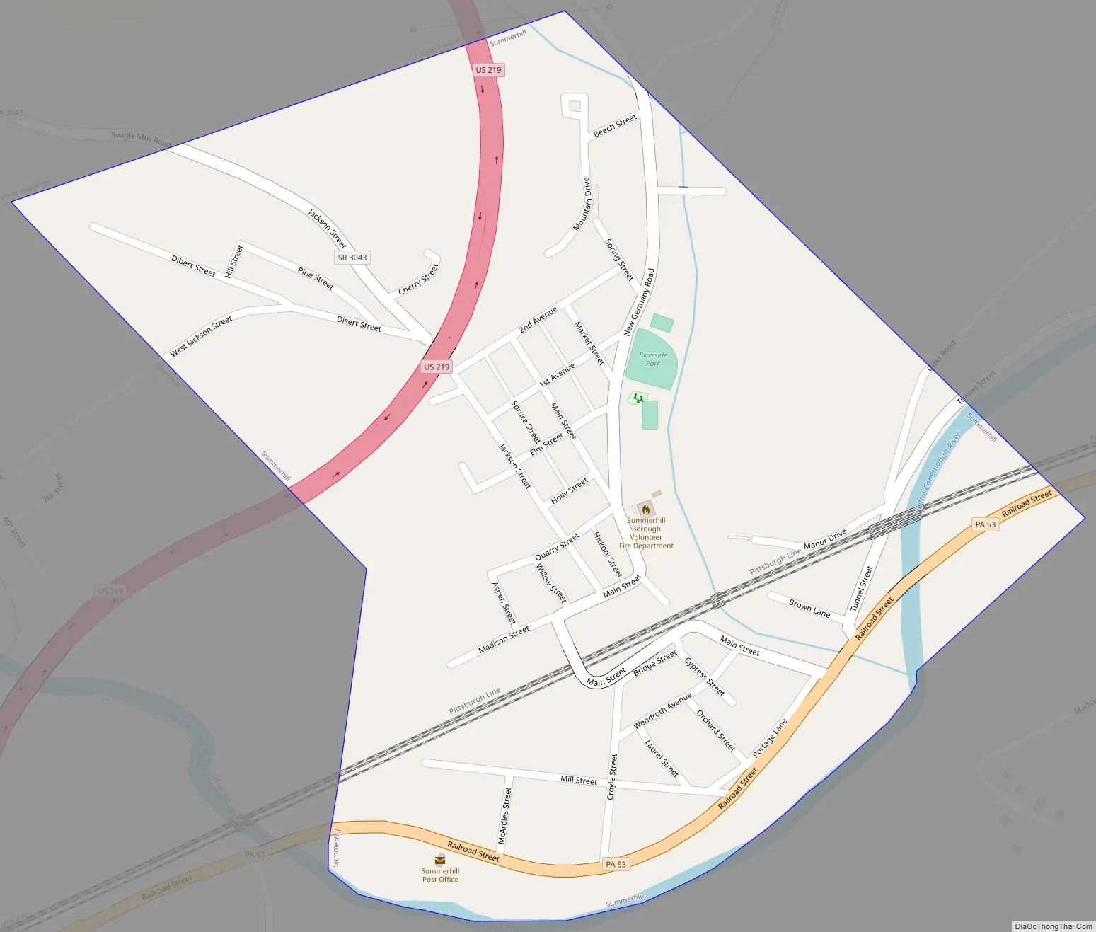
Summerhill city Satellite Map

Geography
Summerhill is located in south-central Cambria County at 40°22′32″N 78°45′38″W / 40.37556°N 78.76056°W / 40.37556; -78.76056 (40.375424, -78.760623) in the Laurel Highlands of the Allegheny Mountains. The north branch of the Little Conemaugh River and Laurel Run, tributaries of the Conemaugh River, run through the community. Summerhill is bordered on the west by the borough of Ehrenfeld.
U.S. Route 219, a four-lane expressway, runs through the northwestern part of the borough, with access from an interchange with Pennsylvania Route 53 southwest of the borough limits. US 219 leads north 10 miles (16 km) to Ebensburg, the county seat. Johnstown is 14 miles (23 km) to the southwest via US 219 and Pennsylvania Route 56.
According to the United States Census Bureau, Summerhill borough has a total area of 0.33 square miles (0.86 km), of which 0.33 square miles (0.85 km) is land and 0.004 square miles (0.01 km), or 1.53%, is water.
See also
Map of Pennsylvania State and its subdivision:- Adams
- Allegheny
- Armstrong
- Beaver
- Bedford
- Berks
- Blair
- Bradford
- Bucks
- Butler
- Cambria
- Cameron
- Carbon
- Centre
- Chester
- Clarion
- Clearfield
- Clinton
- Columbia
- Crawford
- Cumberland
- Dauphin
- Delaware
- Elk
- Erie
- Fayette
- Forest
- Franklin
- Fulton
- Greene
- Huntingdon
- Indiana
- Jefferson
- Juniata
- Lackawanna
- Lancaster
- Lawrence
- Lebanon
- Lehigh
- Luzerne
- Lycoming
- Mc Kean
- Mercer
- Mifflin
- Monroe
- Montgomery
- Montour
- Northampton
- Northumberland
- Perry
- Philadelphia
- Pike
- Potter
- Schuylkill
- Snyder
- Somerset
- Sullivan
- Susquehanna
- Tioga
- Union
- Venango
- Warren
- Washington
- Wayne
- Westmoreland
- Wyoming
- York
- Alabama
- Alaska
- Arizona
- Arkansas
- California
- Colorado
- Connecticut
- Delaware
- District of Columbia
- Florida
- Georgia
- Hawaii
- Idaho
- Illinois
- Indiana
- Iowa
- Kansas
- Kentucky
- Louisiana
- Maine
- Maryland
- Massachusetts
- Michigan
- Minnesota
- Mississippi
- Missouri
- Montana
- Nebraska
- Nevada
- New Hampshire
- New Jersey
- New Mexico
- New York
- North Carolina
- North Dakota
- Ohio
- Oklahoma
- Oregon
- Pennsylvania
- Rhode Island
- South Carolina
- South Dakota
- Tennessee
- Texas
- Utah
- Vermont
- Virginia
- Washington
- West Virginia
- Wisconsin
- Wyoming


