Throop /ˈtruːp/ is a borough in Lackawanna County, Pennsylvania, United States, adjoining Scranton. Formerly, coal mining and silk manufacturing provided employment for the people of Throop, who numbered 2,204 in 1900 and 5,133 in 1910. In 1940, 7,382 people lived in Throop. The population was 4,078 at the 2020 census.
| Name: | Throop borough |
|---|---|
| LSAD Code: | 21 |
| LSAD Description: | borough (suffix) |
| State: | Pennsylvania |
| County: | Lackawanna County |
| Elevation: | 846 ft (258 m) |
| Total Area: | 4.97 sq mi (12.87 km²) |
| Land Area: | 4.97 sq mi (12.87 km²) |
| Water Area: | 0.00 sq mi (0.00 km²) |
| Total Population: | 4,078 |
| Population Density: | 784.22/sq mi (302.79/km²) |
| Area code: | 570 |
| FIPS code: | 4276648 |
| Website: | www.throopboro.com |
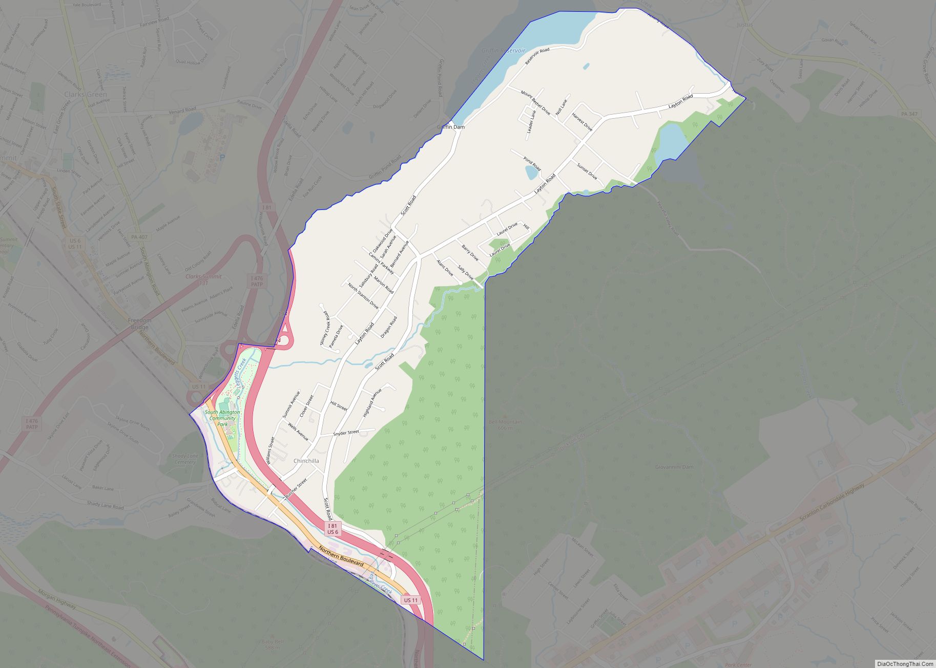
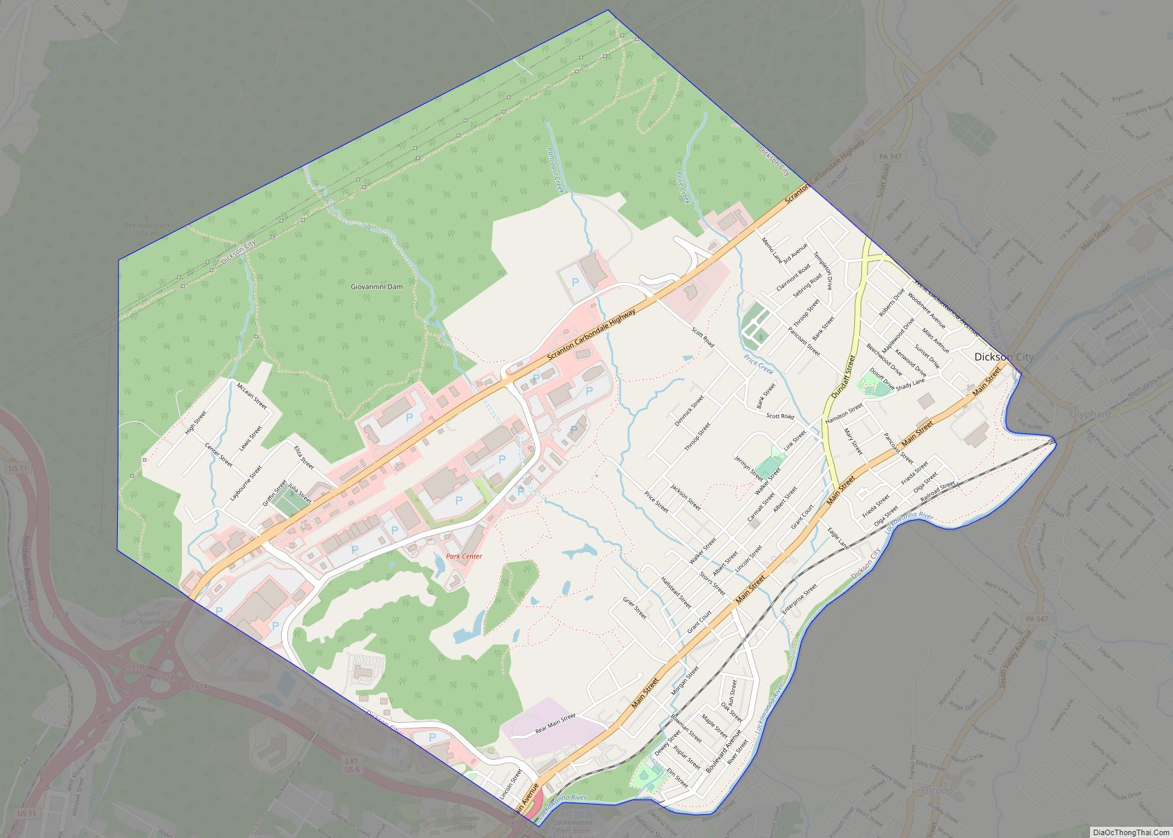
Online Interactive Map
Click on ![]() to view map in "full screen" mode.
to view map in "full screen" mode.
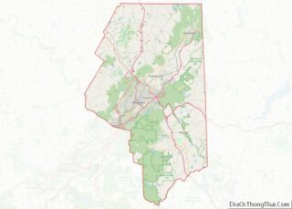
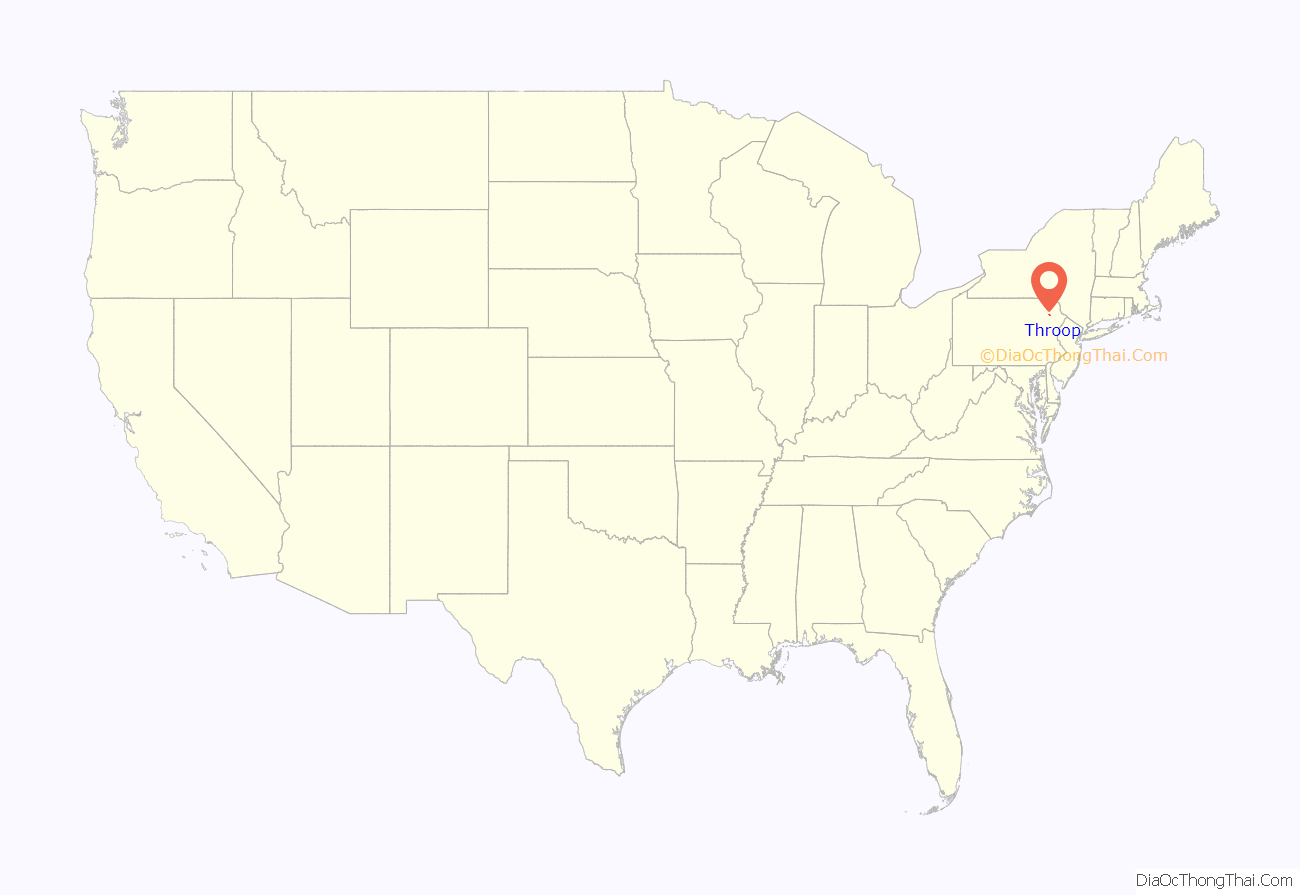
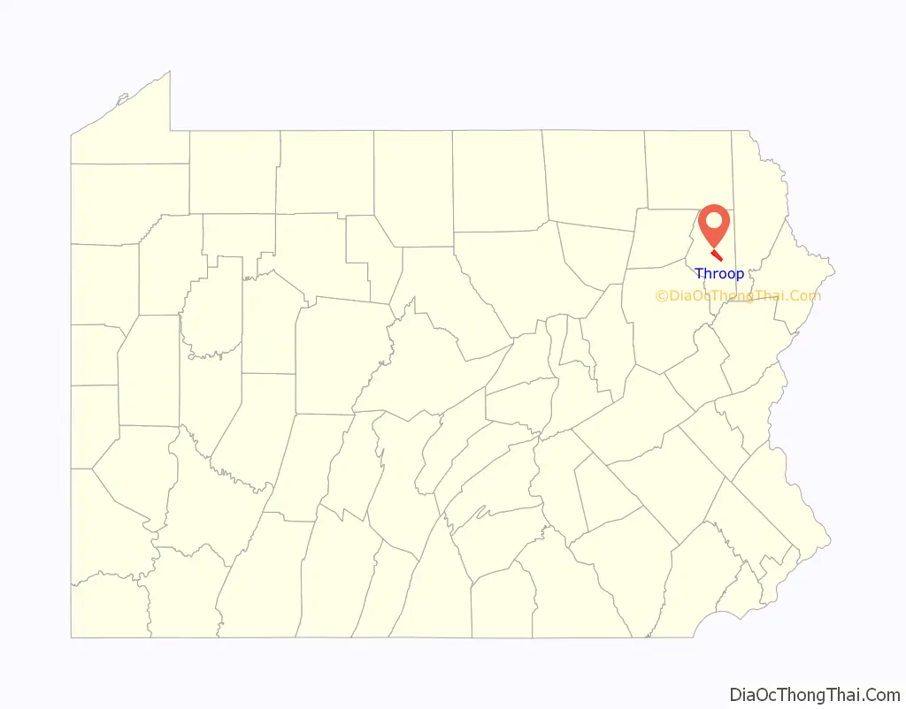
Throop location map. Where is Throop borough?
History
On April 7, 1911, a fire at the Price-Pancoast Colliery killed 72 coal miners in what has been described as “the most appalling mine disaster in the history of the northern anthracite coal fields.”
The borough contains a lead-contaminated parcel of land commonly known as the Marjol Battery site. Now owned by Gould Electronics, the empty land was a former battery processing facility closed in April 1982. Since the late 1980s, the federal United States Environmental Protection Agency and the state DEP have worked to clean up contamination in adjacent areas, but a final remedy for the site itself has remained on hold in recent years, as local officials and citizens fight with the government agencies and Gould over the best solution. In the meantime, the landowner has maintained a policy of basic containment and monitoring.
Throop’s most popular summertime event is its annual Cow Flop, organized by the Throop Booster Club. It has been a tradition in Throop since the late 1980s. The Flop serves as a fundraiser for the club and usually raises about $10,000 annually to benefit youth baseball and softball programs in the borough. The Flop, formerly held on a Sunday in late June, is now a two-day (since 2007) event that features a parade, fireworks, music, food, and other entertainment. The event requires more than 100 volunteers, mostly members of the Booster Club and parents of Throop athletes, to produce. The main event of the Cow Flop is the raffle involving 2,000 squares and a cow’s pick as to where she will relieve herself. Raffle tickets are $10 and the winner of the annual Flop raffle wins $5,000.
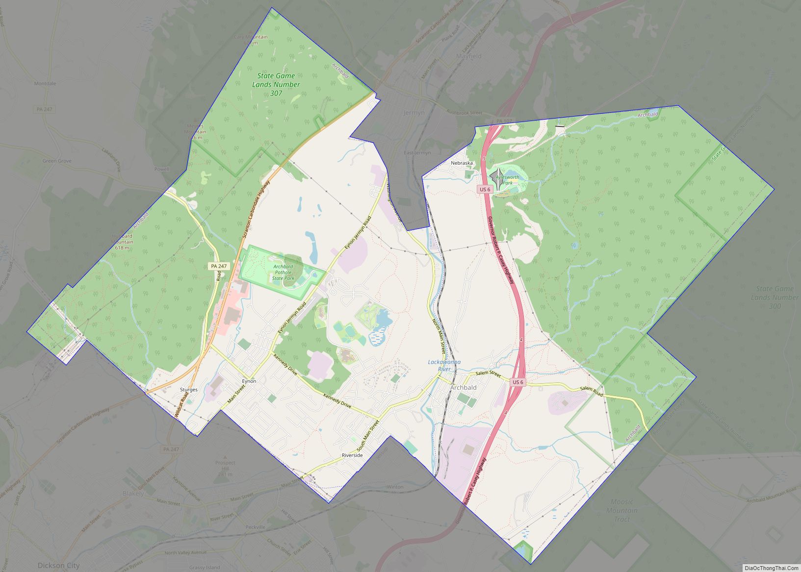
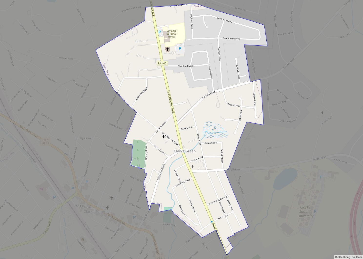
Throop Road Map
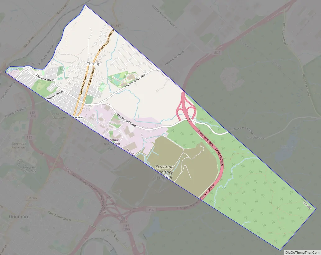
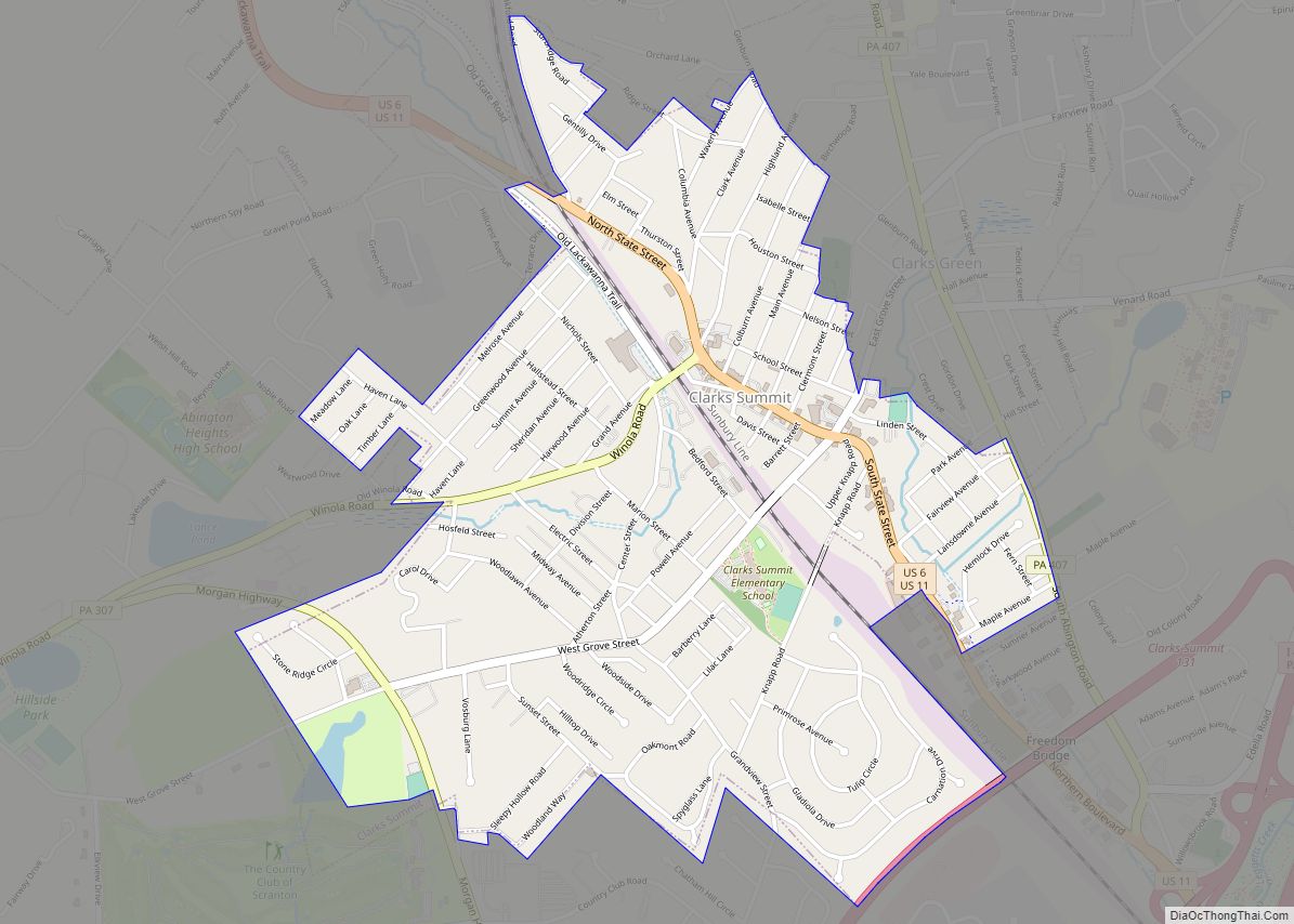
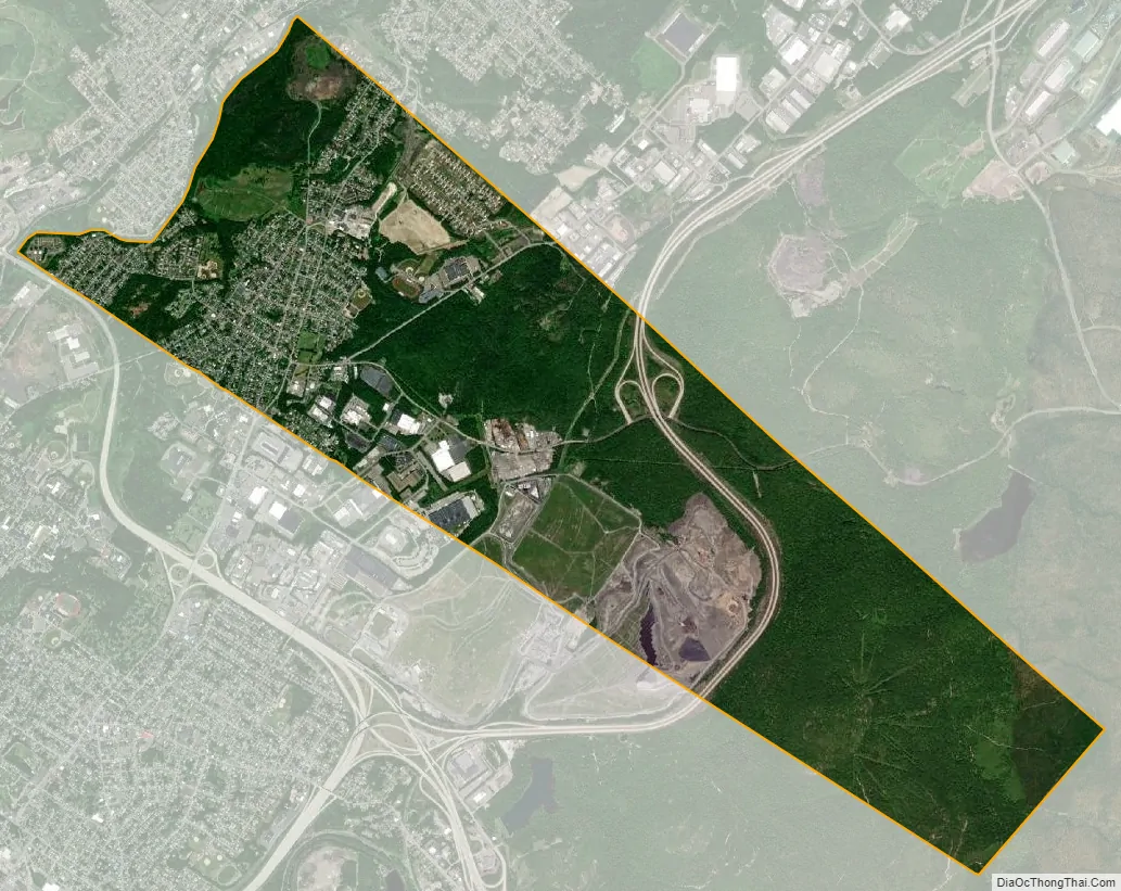
Throop city Satellite Map
Geography
Throop is located at 41°26′44″N 75°36′52″W / 41.44556°N 75.61444°W / 41.44556; -75.61444 (41.445536, -75.614494).
According to the United States Census Bureau, the borough has a total area of 5.0 square miles (13 km), all land. It is bordered to the northeast by Olyphant, to the north by Blakely, to the northwest by Dickson City, to the west by Scranton, and to the south by Dunmore.
See also
Map of Pennsylvania State and its subdivision:- Adams
- Allegheny
- Armstrong
- Beaver
- Bedford
- Berks
- Blair
- Bradford
- Bucks
- Butler
- Cambria
- Cameron
- Carbon
- Centre
- Chester
- Clarion
- Clearfield
- Clinton
- Columbia
- Crawford
- Cumberland
- Dauphin
- Delaware
- Elk
- Erie
- Fayette
- Forest
- Franklin
- Fulton
- Greene
- Huntingdon
- Indiana
- Jefferson
- Juniata
- Lackawanna
- Lancaster
- Lawrence
- Lebanon
- Lehigh
- Luzerne
- Lycoming
- Mc Kean
- Mercer
- Mifflin
- Monroe
- Montgomery
- Montour
- Northampton
- Northumberland
- Perry
- Philadelphia
- Pike
- Potter
- Schuylkill
- Snyder
- Somerset
- Sullivan
- Susquehanna
- Tioga
- Union
- Venango
- Warren
- Washington
- Wayne
- Westmoreland
- Wyoming
- York
- Alabama
- Alaska
- Arizona
- Arkansas
- California
- Colorado
- Connecticut
- Delaware
- District of Columbia
- Florida
- Georgia
- Hawaii
- Idaho
- Illinois
- Indiana
- Iowa
- Kansas
- Kentucky
- Louisiana
- Maine
- Maryland
- Massachusetts
- Michigan
- Minnesota
- Mississippi
- Missouri
- Montana
- Nebraska
- Nevada
- New Hampshire
- New Jersey
- New Mexico
- New York
- North Carolina
- North Dakota
- Ohio
- Oklahoma
- Oregon
- Pennsylvania
- Rhode Island
- South Carolina
- South Dakota
- Tennessee
- Texas
- Utah
- Vermont
- Virginia
- Washington
- West Virginia
- Wisconsin
- Wyoming