Tionesta is a borough in Forest County, Pennsylvania, United States. The population was 475 at the 2020 Census. It is the county seat of Forest County. The name is a Native American word meaning “the home of the wolves.” Visitors and residents are greeted to Tionesta with a sign reading “A special place with a relaxed pace”
Tionesta lies at the heart of a forested region that is a popular destination for hunters and other outdoor lovers. While the general area has seen some growth as a result of this tourist activity, the borough proper has suffered several setbacks in recent years including the closure of an Evenflo plant that was a major employer and a 2002 fire that leveled an entire block of the borough’s downtown area.
| Name: | Tionesta borough |
|---|---|
| LSAD Code: | 21 |
| LSAD Description: | borough (suffix) |
| State: | Pennsylvania |
| County: | Forest County |
| Incorporated: | 1805 |
| Total Area: | 1.38 sq mi (3.56 km²) |
| Land Area: | 1.38 sq mi (3.56 km²) |
| Water Area: | 0.00 sq mi (0.00 km²) |
| Total Population: | 428 |
| Population Density: | 311.27/sq mi (120.21/km²) |
| Area code: | 814 |
| FIPS code: | 4276848 |
Online Interactive Map
Click on ![]() to view map in "full screen" mode.
to view map in "full screen" mode.
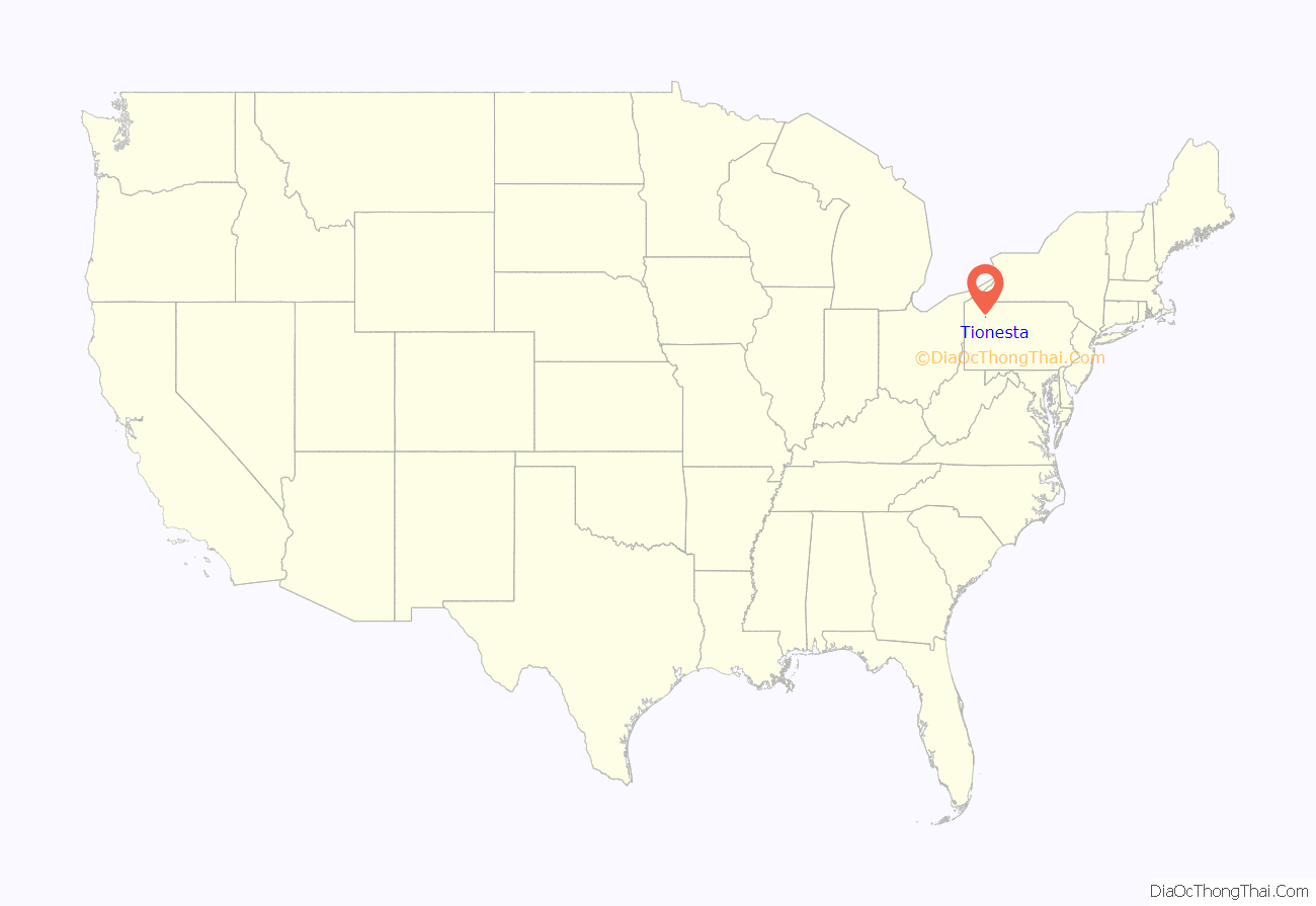
Tionesta location map. Where is Tionesta borough?
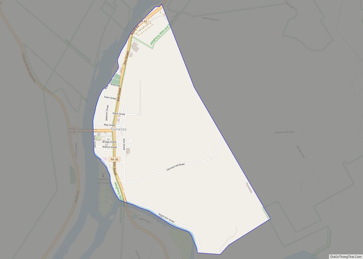
Tionesta Road Map
Tionesta city Satellite Map
Geography
Tionesta is located at 41°29′42″N 79°27′21″W / 41.495017°N 79.455939°W / 41.495017; -79.455939. The borough is located 54 miles (87 km) southeast of Erie and 78 miles (126 km) north of Pittsburgh.
According to the United States Census Bureau, the borough has a total area of 1.3 square miles (3.4 km), all land.
Climate
See also
Map of Pennsylvania State and its subdivision:- Adams
- Allegheny
- Armstrong
- Beaver
- Bedford
- Berks
- Blair
- Bradford
- Bucks
- Butler
- Cambria
- Cameron
- Carbon
- Centre
- Chester
- Clarion
- Clearfield
- Clinton
- Columbia
- Crawford
- Cumberland
- Dauphin
- Delaware
- Elk
- Erie
- Fayette
- Forest
- Franklin
- Fulton
- Greene
- Huntingdon
- Indiana
- Jefferson
- Juniata
- Lackawanna
- Lancaster
- Lawrence
- Lebanon
- Lehigh
- Luzerne
- Lycoming
- Mc Kean
- Mercer
- Mifflin
- Monroe
- Montgomery
- Montour
- Northampton
- Northumberland
- Perry
- Philadelphia
- Pike
- Potter
- Schuylkill
- Snyder
- Somerset
- Sullivan
- Susquehanna
- Tioga
- Union
- Venango
- Warren
- Washington
- Wayne
- Westmoreland
- Wyoming
- York
- Alabama
- Alaska
- Arizona
- Arkansas
- California
- Colorado
- Connecticut
- Delaware
- District of Columbia
- Florida
- Georgia
- Hawaii
- Idaho
- Illinois
- Indiana
- Iowa
- Kansas
- Kentucky
- Louisiana
- Maine
- Maryland
- Massachusetts
- Michigan
- Minnesota
- Mississippi
- Missouri
- Montana
- Nebraska
- Nevada
- New Hampshire
- New Jersey
- New Mexico
- New York
- North Carolina
- North Dakota
- Ohio
- Oklahoma
- Oregon
- Pennsylvania
- Rhode Island
- South Carolina
- South Dakota
- Tennessee
- Texas
- Utah
- Vermont
- Virginia
- Washington
- West Virginia
- Wisconsin
- Wyoming


