Trappe (Pennsylvania German: Drapp) is a borough in Montgomery County, Pennsylvania, United States. The population was 3,509 at the 2010 census. Augustus Lutheran Church, built in 1743, is the oldest unchanged Lutheran church building in the United States in continuous use by the same congregation. It has been designated a National Historic Landmark.
| Name: | Trappe borough |
|---|---|
| LSAD Code: | 21 |
| LSAD Description: | borough (suffix) |
| State: | Pennsylvania |
| County: | Montgomery County |
| Elevation: | 272 ft (83 m) |
| Total Area: | 2.06 sq mi (5.34 km²) |
| Land Area: | 2.06 sq mi (5.34 km²) |
| Water Area: | 0.00 sq mi (0.00 km²) |
| Total Population: | 3,509 |
| Population Density: | 1,807.38/sq mi (697.84/km²) |
| ZIP code: | 19426 |
| Area code: | 610 and 484 |
| FIPS code: | 4277304 |
| Website: | www.trappeborough.com |
Online Interactive Map
Click on ![]() to view map in "full screen" mode.
to view map in "full screen" mode.
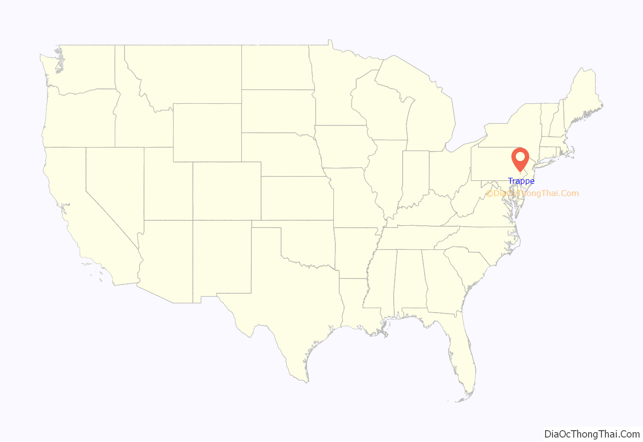
Trappe location map. Where is Trappe borough?
History
European settlers arrived in the area of Trappe in the early 18th century and included many German immigrants. They had landed at the port of Philadelphia and moved west, where land was available.
One of the oldest extant buildings in town is Augustus Lutheran Church. Construction of the old church began in 1743 following the arrival of Lutheran minister Henry Melchior Muhlenberg, who emigrated from Germany in 1742. After a severe storm on February 16, 1860 that damaged the colonial building, it was saved and restored by his grandson William Augustus Muhlenberg. It is the oldest unchanged Lutheran church building in the US in continuous use by the same congregation and has been designated a National Historic Landmark.
A c. 1830 building across from Augustus Lutheran Church served as the US Post Office until 1929, when operations were moved to a larger regional location. The post office/general store is now a private residence.
Trappe is also home to the Henry Melchior Muhlenberg House, which is listed on the National Register of Historic Places. The building has been restored and is operated as a museum by the Historical Society of Trappe, Collegeville, Perkiomen Valley, Inc.
The Speaker’s House, home of Frederick Muhlenberg, is another historic site in Trappe that is open to the public. It is currently undergoing restoration.
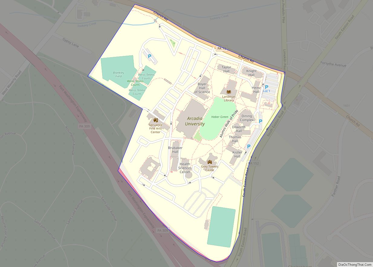
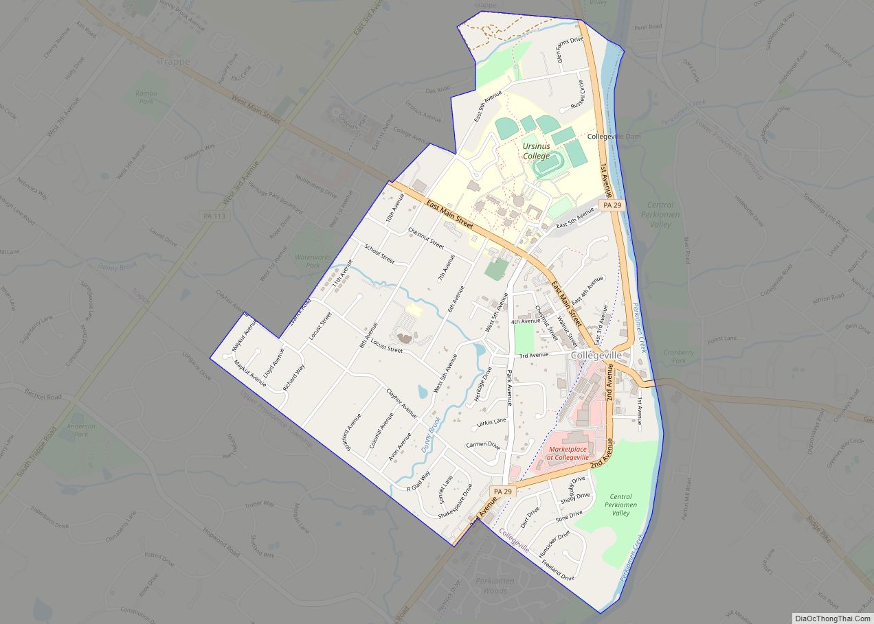
Trappe Road Map
Trappe city Satellite Map
Geography
Trappe is located at 40°12′N 75°29′W / 40.200°N 75.483°W / 40.200; -75.483 (40.197111, -75.475244).
According to the United States Census Bureau, the borough has a total area of 2.1 square miles (5.4 km), all land.
See also
Map of Pennsylvania State and its subdivision:- Adams
- Allegheny
- Armstrong
- Beaver
- Bedford
- Berks
- Blair
- Bradford
- Bucks
- Butler
- Cambria
- Cameron
- Carbon
- Centre
- Chester
- Clarion
- Clearfield
- Clinton
- Columbia
- Crawford
- Cumberland
- Dauphin
- Delaware
- Elk
- Erie
- Fayette
- Forest
- Franklin
- Fulton
- Greene
- Huntingdon
- Indiana
- Jefferson
- Juniata
- Lackawanna
- Lancaster
- Lawrence
- Lebanon
- Lehigh
- Luzerne
- Lycoming
- Mc Kean
- Mercer
- Mifflin
- Monroe
- Montgomery
- Montour
- Northampton
- Northumberland
- Perry
- Philadelphia
- Pike
- Potter
- Schuylkill
- Snyder
- Somerset
- Sullivan
- Susquehanna
- Tioga
- Union
- Venango
- Warren
- Washington
- Wayne
- Westmoreland
- Wyoming
- York
- Alabama
- Alaska
- Arizona
- Arkansas
- California
- Colorado
- Connecticut
- Delaware
- District of Columbia
- Florida
- Georgia
- Hawaii
- Idaho
- Illinois
- Indiana
- Iowa
- Kansas
- Kentucky
- Louisiana
- Maine
- Maryland
- Massachusetts
- Michigan
- Minnesota
- Mississippi
- Missouri
- Montana
- Nebraska
- Nevada
- New Hampshire
- New Jersey
- New Mexico
- New York
- North Carolina
- North Dakota
- Ohio
- Oklahoma
- Oregon
- Pennsylvania
- Rhode Island
- South Carolina
- South Dakota
- Tennessee
- Texas
- Utah
- Vermont
- Virginia
- Washington
- West Virginia
- Wisconsin
- Wyoming
