Ulysses is a borough in Potter County, Pennsylvania, United States. The population was 600 at the 2020 census. The borough is located in a rural farming and forested area in north central Pennsylvania, which is known as the Pennsylvania Wilds. It also stands in the middle of the Triple Continental Divide. In 2019 the borough celebrated its sesquicentennial.
| Name: | Ulysses borough |
|---|---|
| LSAD Code: | 21 |
| LSAD Description: | borough (suffix) |
| State: | Pennsylvania |
| County: | Potter County |
| Total Area: | 4.05 sq mi (10.50 km²) |
| Land Area: | 4.05 sq mi (10.50 km²) |
| Water Area: | 0.00 sq mi (0.00 km²) |
| Total Population: | 599 |
| Population Density: | 147.76/sq mi (57.05/km²) |
| ZIP code: | 16948 |
| Area code: | 814 |
| FIPS code: | 4278240 |
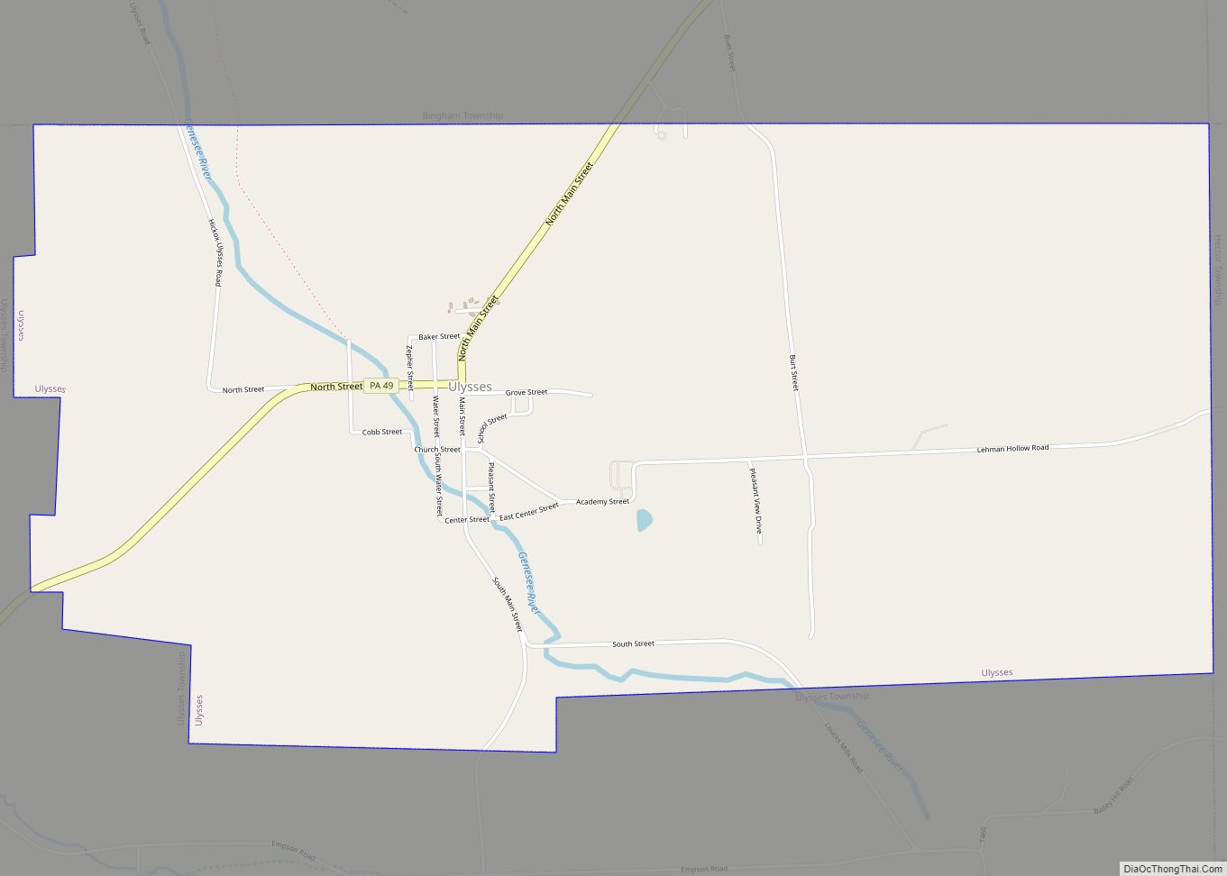
Online Interactive Map
Click on ![]() to view map in "full screen" mode.
to view map in "full screen" mode.
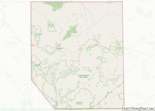
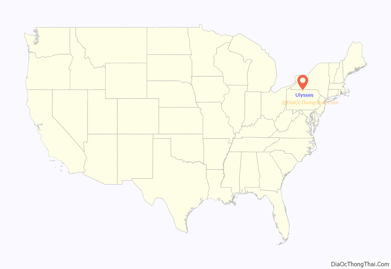
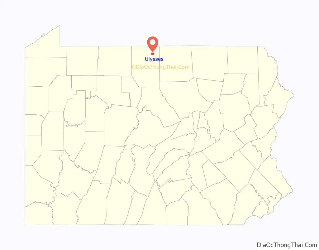
Ulysses location map. Where is Ulysses borough?
History
When it was first settled in 1831, Ulysses was named Lewisville after Orange Lewis, an early settler and prominent farmer who later became justice of the peace and county treasurer. But the post office and newspaper had always called the town Ulysses, and eventually, in 1968, the town itself was officially renamed Ulysses.
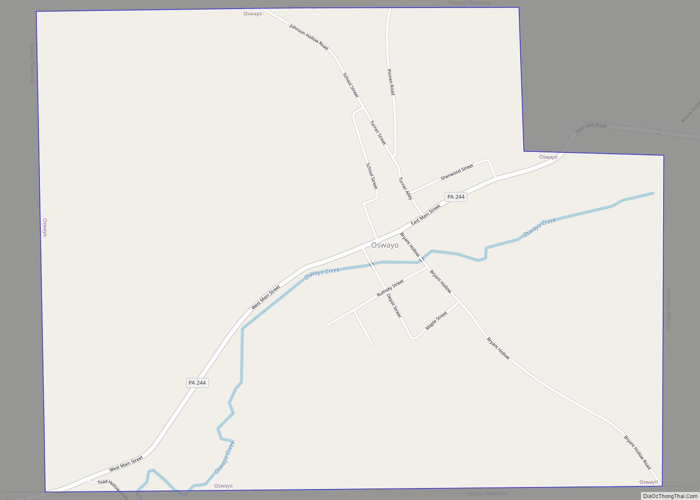
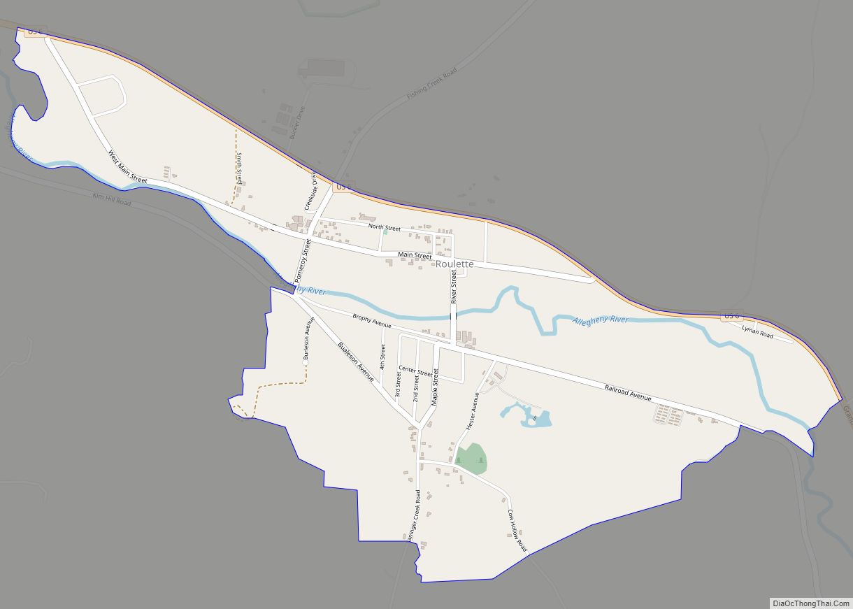
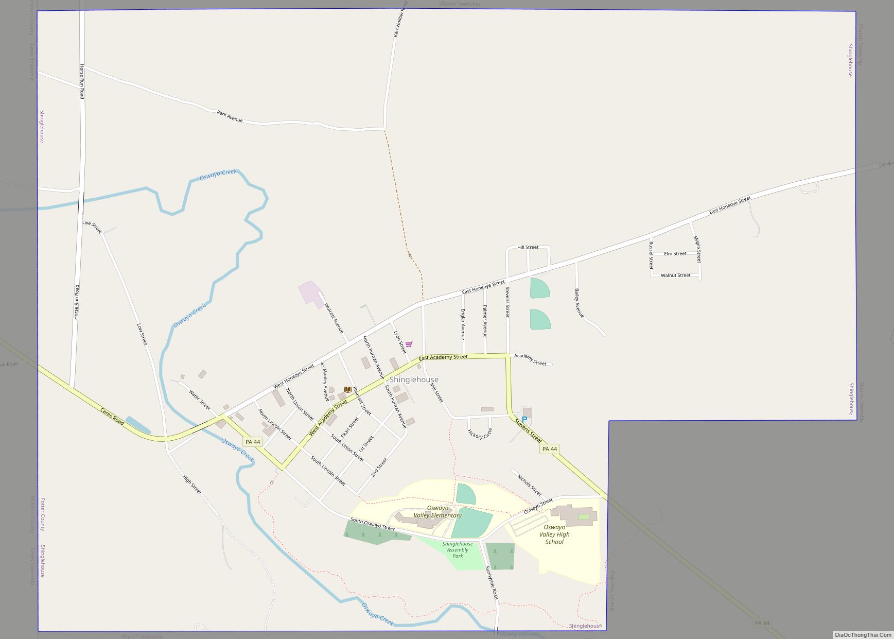
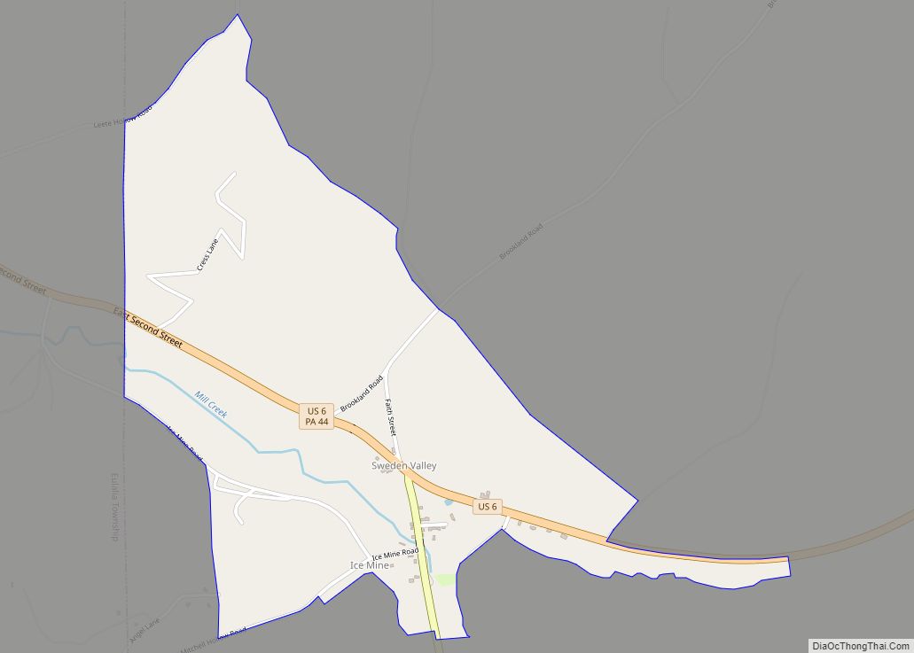
Ulysses Road Map
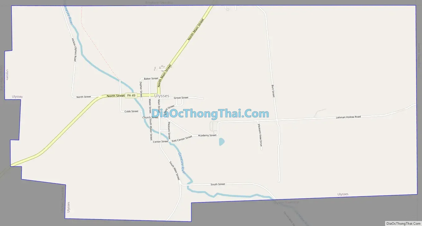
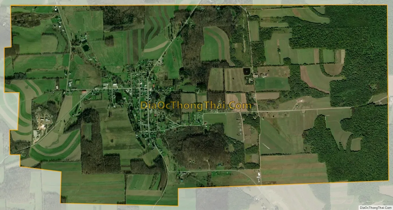
Ulysses city Satellite Map
Geography
Ulysses is located at 41°54′10″N 77°45′40″W / 41.90278°N 77.76111°W / 41.90278; -77.76111 (41.902838, -77.761017).
According to the United States Census Bureau, the borough has a total area of 4.0 square miles (10 km), all land.
See also
Map of Pennsylvania State and its subdivision:- Adams
- Allegheny
- Armstrong
- Beaver
- Bedford
- Berks
- Blair
- Bradford
- Bucks
- Butler
- Cambria
- Cameron
- Carbon
- Centre
- Chester
- Clarion
- Clearfield
- Clinton
- Columbia
- Crawford
- Cumberland
- Dauphin
- Delaware
- Elk
- Erie
- Fayette
- Forest
- Franklin
- Fulton
- Greene
- Huntingdon
- Indiana
- Jefferson
- Juniata
- Lackawanna
- Lancaster
- Lawrence
- Lebanon
- Lehigh
- Luzerne
- Lycoming
- Mc Kean
- Mercer
- Mifflin
- Monroe
- Montgomery
- Montour
- Northampton
- Northumberland
- Perry
- Philadelphia
- Pike
- Potter
- Schuylkill
- Snyder
- Somerset
- Sullivan
- Susquehanna
- Tioga
- Union
- Venango
- Warren
- Washington
- Wayne
- Westmoreland
- Wyoming
- York
- Alabama
- Alaska
- Arizona
- Arkansas
- California
- Colorado
- Connecticut
- Delaware
- District of Columbia
- Florida
- Georgia
- Hawaii
- Idaho
- Illinois
- Indiana
- Iowa
- Kansas
- Kentucky
- Louisiana
- Maine
- Maryland
- Massachusetts
- Michigan
- Minnesota
- Mississippi
- Missouri
- Montana
- Nebraska
- Nevada
- New Hampshire
- New Jersey
- New Mexico
- New York
- North Carolina
- North Dakota
- Ohio
- Oklahoma
- Oregon
- Pennsylvania
- Rhode Island
- South Carolina
- South Dakota
- Tennessee
- Texas
- Utah
- Vermont
- Virginia
- Washington
- West Virginia
- Wisconsin
- Wyoming