Vintondale is a borough in Cambria County, Pennsylvania, United States. It is part of the Johnstown, Pennsylvania Metropolitan Statistical Area. The population was 414 as of the 2010 census.
| Name: | Vintondale borough |
|---|---|
| LSAD Code: | 21 |
| LSAD Description: | borough (suffix) |
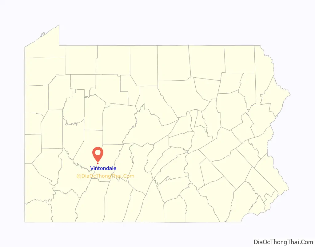
| State: | Pennsylvania |
| County: | Cambria County |
| Incorporated: | 1907 |
| Elevation: | 1,408 ft (429 m) |
| Total Area: | 0.49 sq mi (1.26 km²) |
| Land Area: | 0.47 sq mi (1.22 km²) |
| Water Area: | 0.02 sq mi (0.04 km²) |
| Total Population: | 412 |
| Population Density: | 876.60/sq mi (338.57/km²) |
| ZIP code: | 15961 |
| Area code: | 814 |
| FIPS code: | 4280288 |
| GNISfeature ID: | 1215037 |
Online Interactive Map
Click on ![]() to view map in "full screen" mode.
to view map in "full screen" mode.
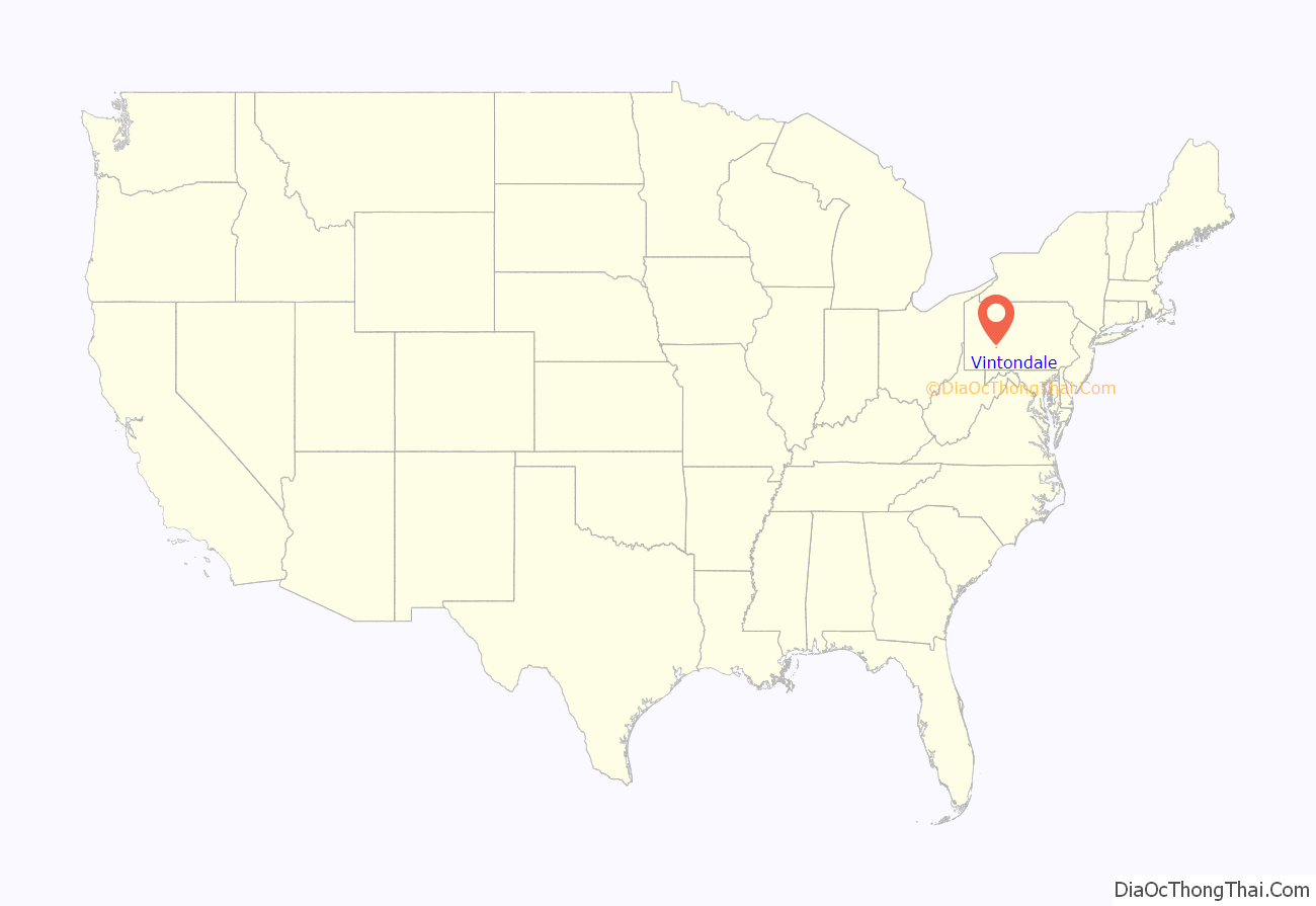
Vintondale location map. Where is Vintondale borough?
History
Vintondale was founded by Warren Delano IV, maternal uncle of President Franklin Delano Roosevelt in 1892. He was a property owner and mayor of the town. The town was described as “wild and wooly” upon its founding. The Vinton Colliery Company operated in the town and ran 6 mines, 152 coke ovens, and one of the first long wall mining operations within the U.S. It was the scene of many clashes between company guard and union organizers. Significantly, during a 1922 strike, New York lawyer for the then fledgling American Civil Liberties Union, Arthur Garfield Hayes was imprisoned in the towns small jail with only one cell for 30 minutes for trespassing on company property -the staircase outside the company store. He was released on bail.
To the north of town, the old Eliza Furnace sits on the Ghost Town Trail. At its peak the furnace produced about 1,080 tons of iron annually, employed over 90 men and boys, and used 45 mules. The furnace was listed on the National Register of Historic Places in 1991.
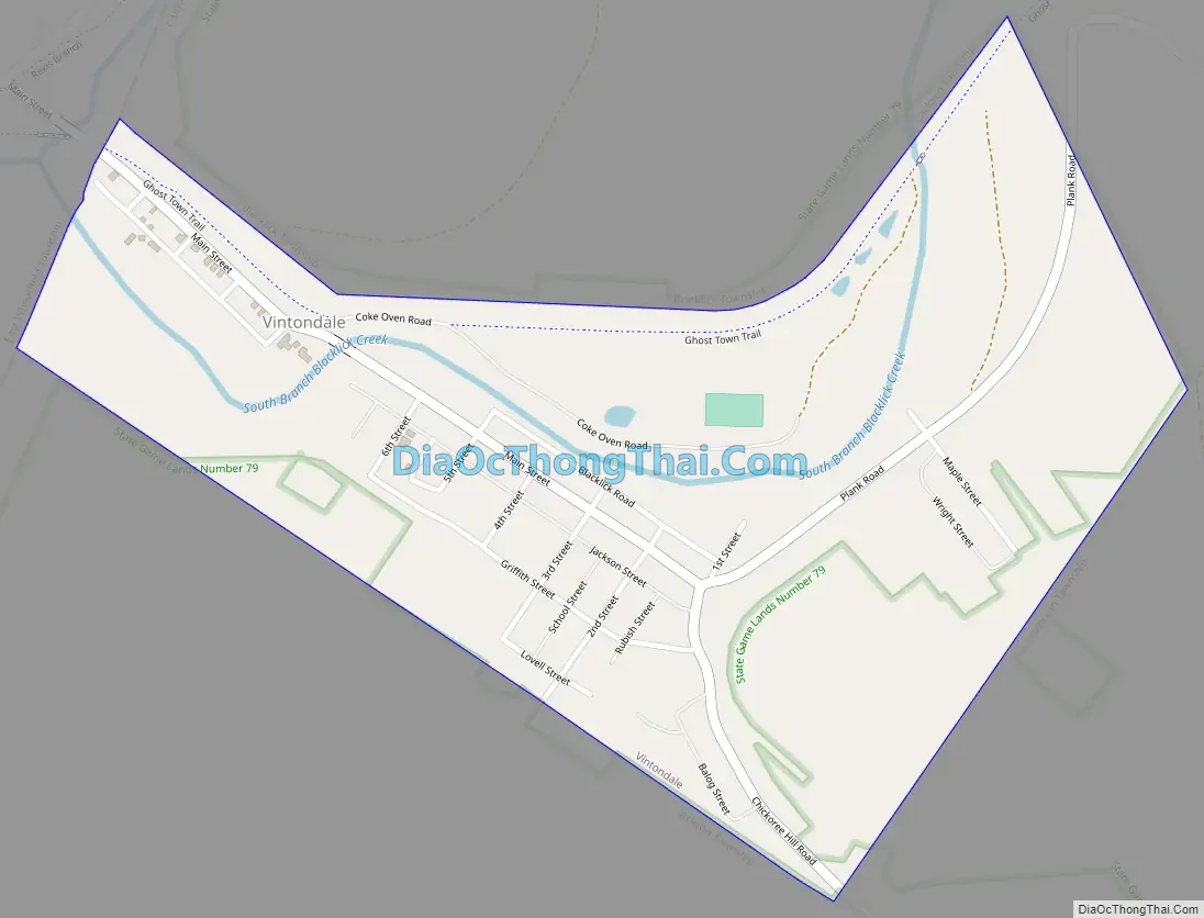
Vintondale Road Map
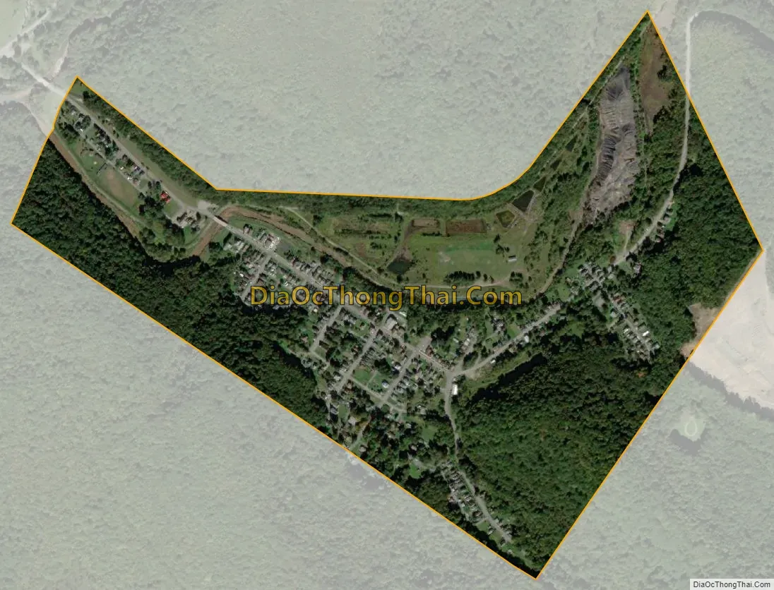
Vintondale city Satellite Map
Geography
Vintondale is located on the western border of Cambria County at 40°28′42″N 78°54′51″W / 40.47833°N 78.91417°W / 40.47833; -78.91417 (40.478370, -78.914097), along the South Branch of Blacklick Creek. It is at the approximate midpoint of the Ghost Town Trail, a rail trail extending through Cambria and Indiana counties.
Vintondale is 13 miles (21 km) west of Ebensburg, the Cambria County seat, 14 miles (23 km) north of the city of Johnstown, and 21 miles (34 km) southeast of the borough of Indiana.
According to the United States Census Bureau, Vintondale has a total area of 0.49 square miles (1.26 km), of which 0.47 square miles (1.22 km) is land and 0.02 square miles (0.04 km), or 3.49%, is water.
See also
Map of Pennsylvania State and its subdivision:- Adams
- Allegheny
- Armstrong
- Beaver
- Bedford
- Berks
- Blair
- Bradford
- Bucks
- Butler
- Cambria
- Cameron
- Carbon
- Centre
- Chester
- Clarion
- Clearfield
- Clinton
- Columbia
- Crawford
- Cumberland
- Dauphin
- Delaware
- Elk
- Erie
- Fayette
- Forest
- Franklin
- Fulton
- Greene
- Huntingdon
- Indiana
- Jefferson
- Juniata
- Lackawanna
- Lancaster
- Lawrence
- Lebanon
- Lehigh
- Luzerne
- Lycoming
- Mc Kean
- Mercer
- Mifflin
- Monroe
- Montgomery
- Montour
- Northampton
- Northumberland
- Perry
- Philadelphia
- Pike
- Potter
- Schuylkill
- Snyder
- Somerset
- Sullivan
- Susquehanna
- Tioga
- Union
- Venango
- Warren
- Washington
- Wayne
- Westmoreland
- Wyoming
- York
- Alabama
- Alaska
- Arizona
- Arkansas
- California
- Colorado
- Connecticut
- Delaware
- District of Columbia
- Florida
- Georgia
- Hawaii
- Idaho
- Illinois
- Indiana
- Iowa
- Kansas
- Kentucky
- Louisiana
- Maine
- Maryland
- Massachusetts
- Michigan
- Minnesota
- Mississippi
- Missouri
- Montana
- Nebraska
- Nevada
- New Hampshire
- New Jersey
- New Mexico
- New York
- North Carolina
- North Dakota
- Ohio
- Oklahoma
- Oregon
- Pennsylvania
- Rhode Island
- South Carolina
- South Dakota
- Tennessee
- Texas
- Utah
- Vermont
- Virginia
- Washington
- West Virginia
- Wisconsin
- Wyoming


