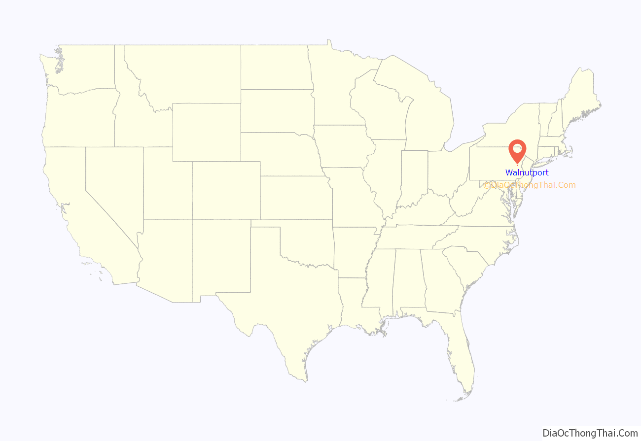
Walnutport is a borough in Northampton County, Pennsylvania. It was first incorporated in 1909. The population of Walnutport was 2,067 at the 2020 census.
Walnutport is located along the Lehigh River and is part of the Lehigh Valley metropolitan area, which had a population of 861,899 and was the 68th-most populous metropolitan area in the U.S. as of the 2020 census. The ZIP Code is 18088.
| Name: | Walnutport borough |
|---|---|
| LSAD Code: | 21 |
| LSAD Description: | borough (suffix) |
| State: | Pennsylvania |
| County: | Northampton County |
| Elevation: | 814 ft (248 m) |
| Land Area: | 0.75 sq mi (1.95 km²) |
| Water Area: | 0.07 sq mi (0.19 km²) |
| Population Density: | 2,748.67/sq mi (1,061.75/km²) |
| ZIP code: | 18088 |
| Area code: | 610 and 484 |
| FIPS code: | 4280800 |
| Website: | www.walnutportpa.org |
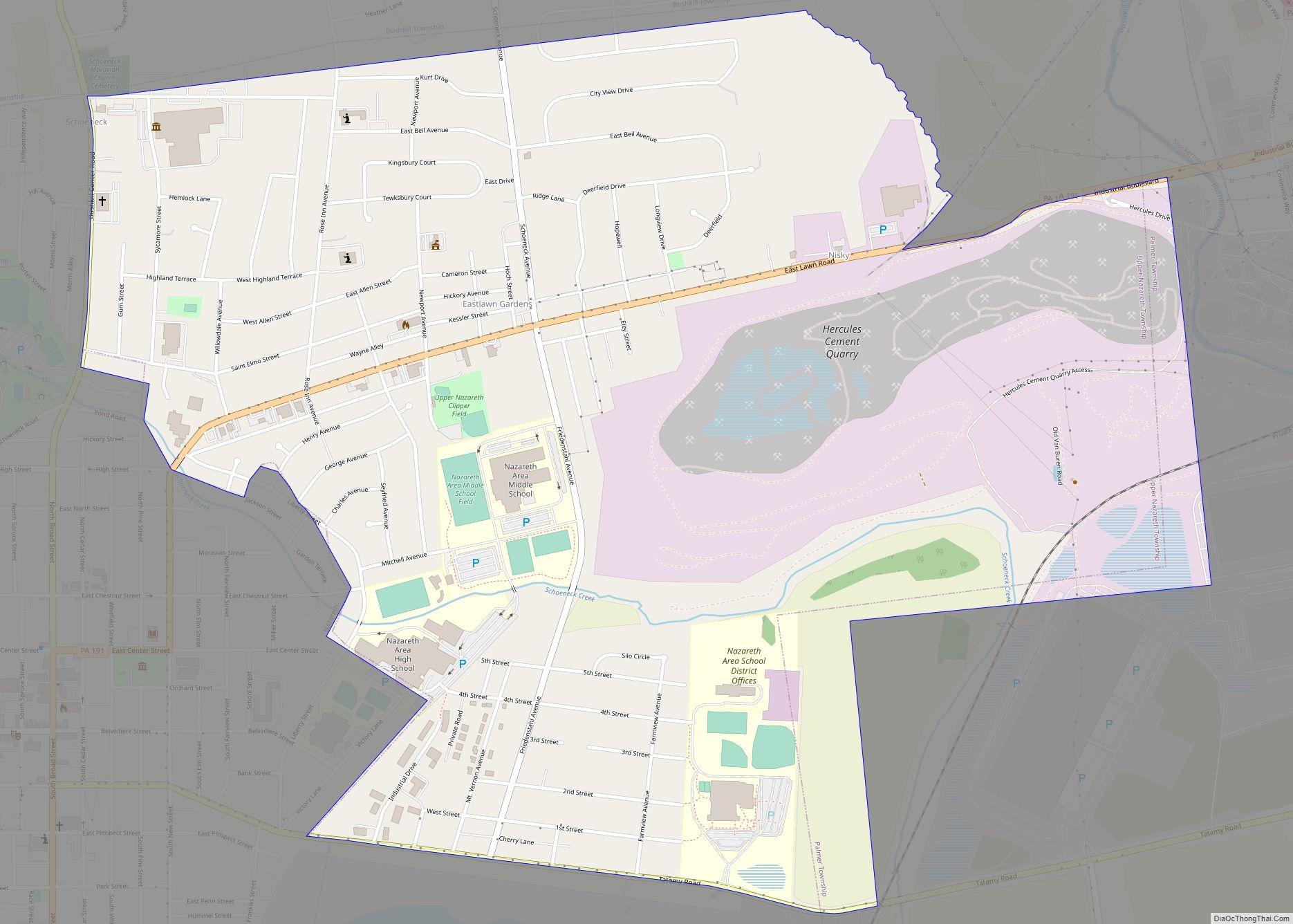
Online Interactive Map
Click on ![]() to view map in "full screen" mode.
to view map in "full screen" mode.
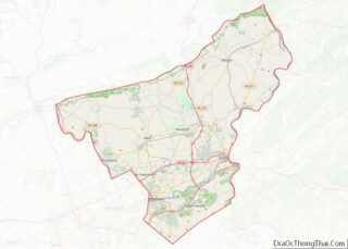
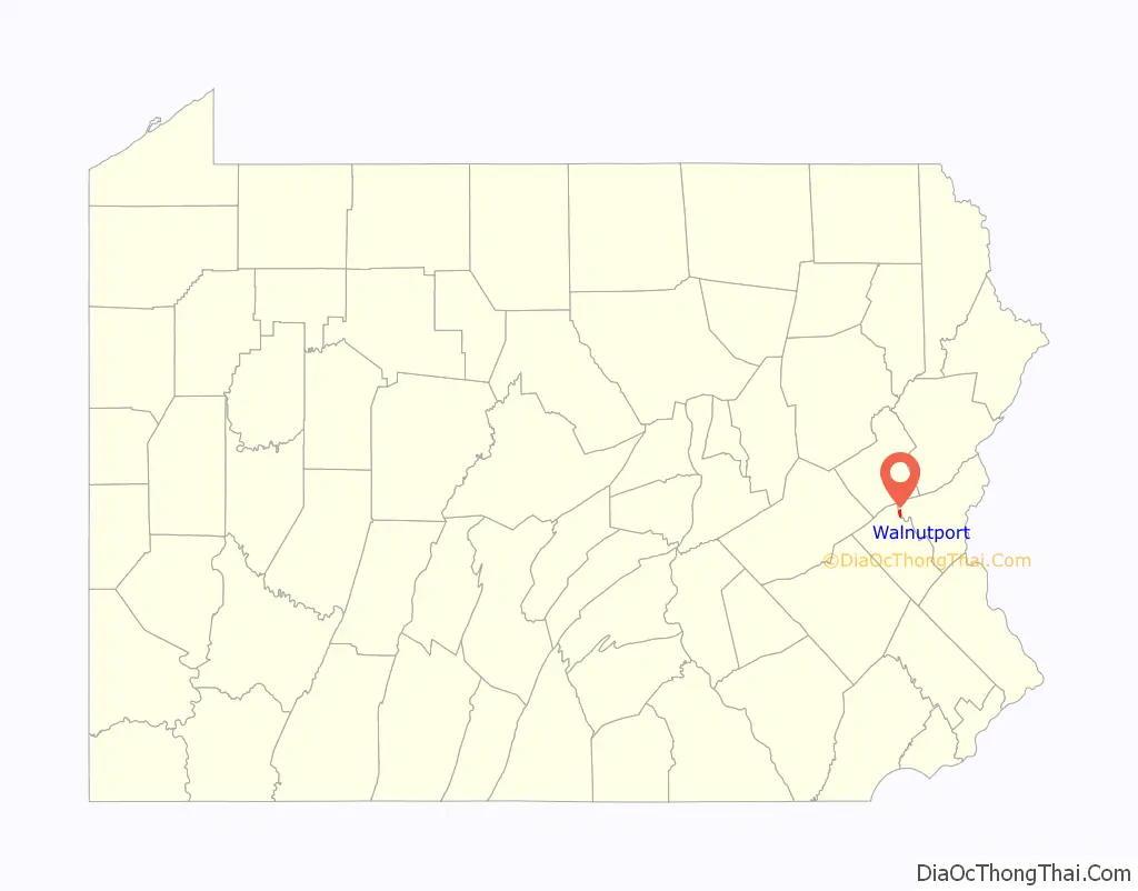
Walnutport location map. Where is Walnutport borough?
Walnutport Road Map
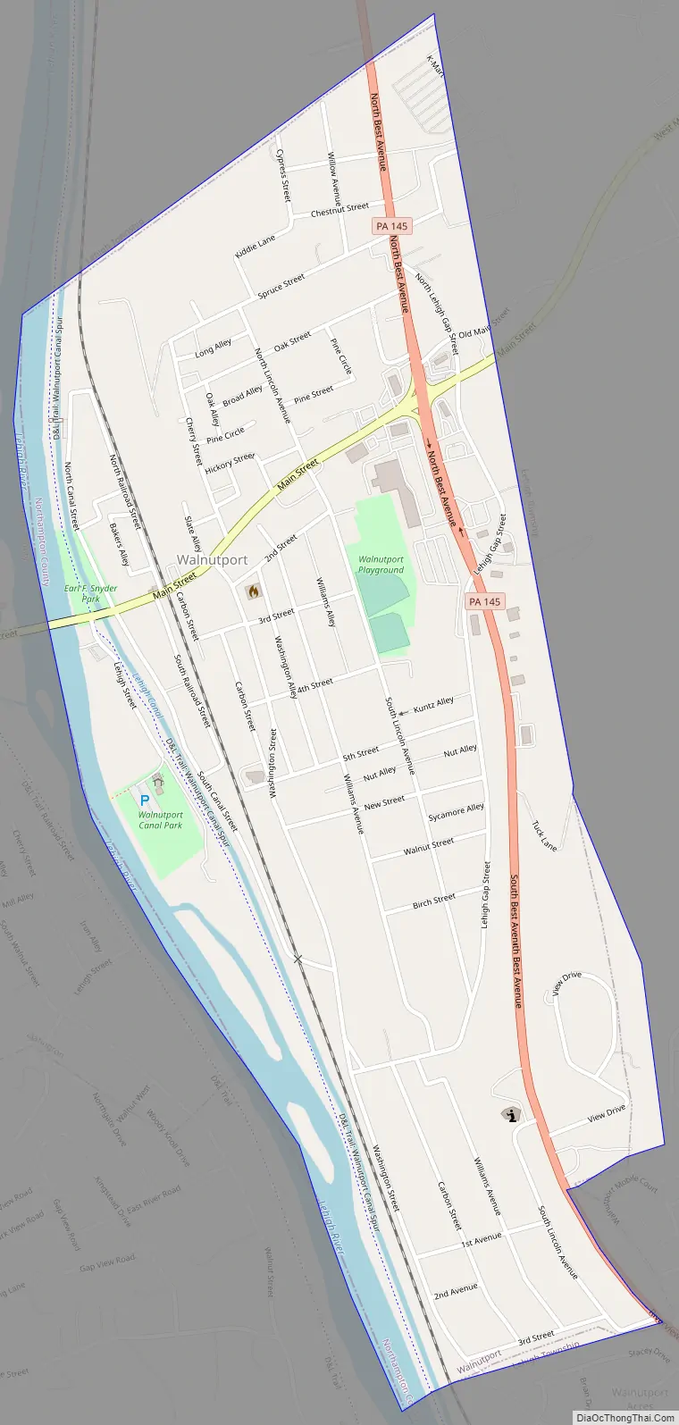
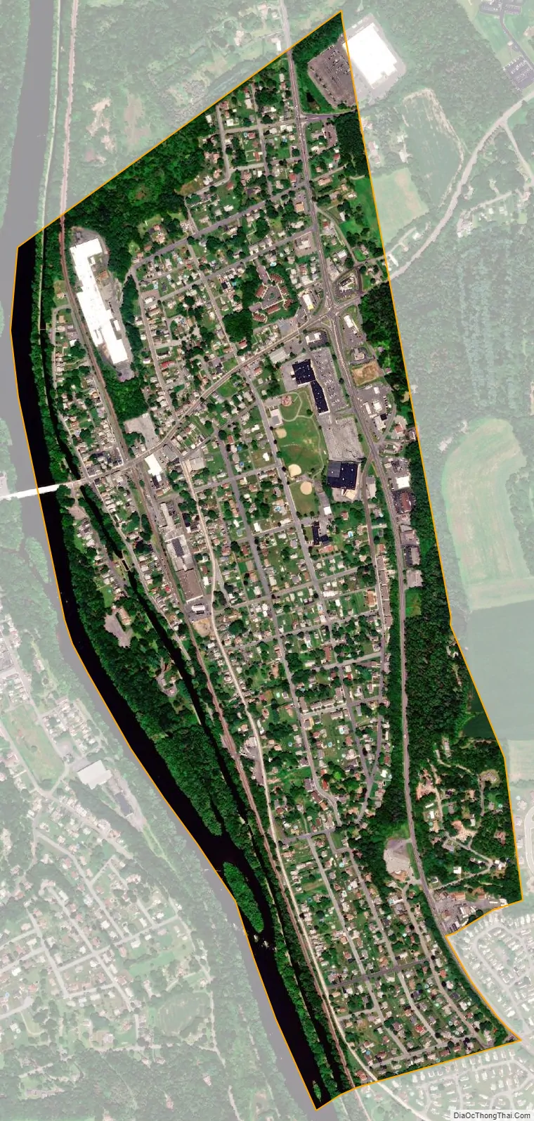
Walnutport city Satellite Map
Geography
Walnutport is located at 40°45′6″N 75°35′44″W / 40.75167°N 75.59556°W / 40.75167; -75.59556 (40.751554, -75.595574). According to the U.S. Census Bureau, the borough has a total area of 0.8 square miles (2.1 km), of which 0.8 square miles (1.9 km) is land and 0.1 square miles (0.2 km) (7.41%) is water.
Walnutport is located 20 miles (32 km) north of Bethlehem, 4 miles (6.4 km) south of Palmerton, 1 mile (1.6 km) east of Slatington, and 46 miles (74 km) south of Scranton, in the Wyoming Valley, which is also known as the Scranton/Wilkes-Barre metropolitan area.
Walnutport’s elevation is at 814 feet (248 m) above sea level.
See also
Map of Pennsylvania State and its subdivision:- Adams
- Allegheny
- Armstrong
- Beaver
- Bedford
- Berks
- Blair
- Bradford
- Bucks
- Butler
- Cambria
- Cameron
- Carbon
- Centre
- Chester
- Clarion
- Clearfield
- Clinton
- Columbia
- Crawford
- Cumberland
- Dauphin
- Delaware
- Elk
- Erie
- Fayette
- Forest
- Franklin
- Fulton
- Greene
- Huntingdon
- Indiana
- Jefferson
- Juniata
- Lackawanna
- Lancaster
- Lawrence
- Lebanon
- Lehigh
- Luzerne
- Lycoming
- Mc Kean
- Mercer
- Mifflin
- Monroe
- Montgomery
- Montour
- Northampton
- Northumberland
- Perry
- Philadelphia
- Pike
- Potter
- Schuylkill
- Snyder
- Somerset
- Sullivan
- Susquehanna
- Tioga
- Union
- Venango
- Warren
- Washington
- Wayne
- Westmoreland
- Wyoming
- York
- Alabama
- Alaska
- Arizona
- Arkansas
- California
- Colorado
- Connecticut
- Delaware
- District of Columbia
- Florida
- Georgia
- Hawaii
- Idaho
- Illinois
- Indiana
- Iowa
- Kansas
- Kentucky
- Louisiana
- Maine
- Maryland
- Massachusetts
- Michigan
- Minnesota
- Mississippi
- Missouri
- Montana
- Nebraska
- Nevada
- New Hampshire
- New Jersey
- New Mexico
- New York
- North Carolina
- North Dakota
- Ohio
- Oklahoma
- Oregon
- Pennsylvania
- Rhode Island
- South Carolina
- South Dakota
- Tennessee
- Texas
- Utah
- Vermont
- Virginia
- Washington
- West Virginia
- Wisconsin
- Wyoming