Waverly is a census-designated place (CDP) comprising the central community within Waverly Township in Lackawanna County, Pennsylvania, United States. Originally called Abington Center, it was founded in the late 18th century by settlers from Connecticut, along the Warriors’ Path. The population of the CDP at the 2010 census was 604.
| Name: | Waverly CDP |
|---|---|
| LSAD Code: | 57 |
| LSAD Description: | CDP (suffix) |
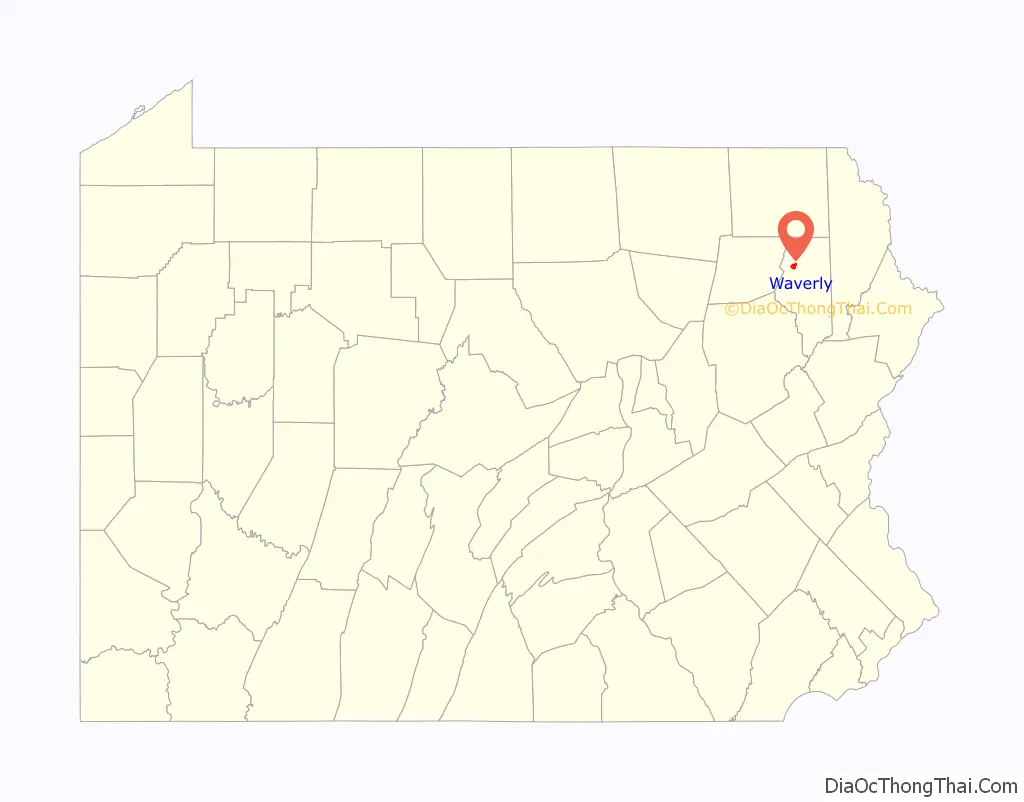
| State: | Pennsylvania |
| County: | Lackawanna County |
| Elevation: | 1,280 ft (390 m) |
| Total Area: | 1.57 sq mi (4.06 km²) |
| Land Area: | 1.57 sq mi (4.06 km²) |
| Water Area: | 0.0 sq mi (0.0 km²) |
| Total Population: | 604 |
| Population Density: | 386/sq mi (148.9/km²) |
| ZIP code: | 18471 |
| FIPS code: | 4281664 |
| GNISfeature ID: | 2630046 |
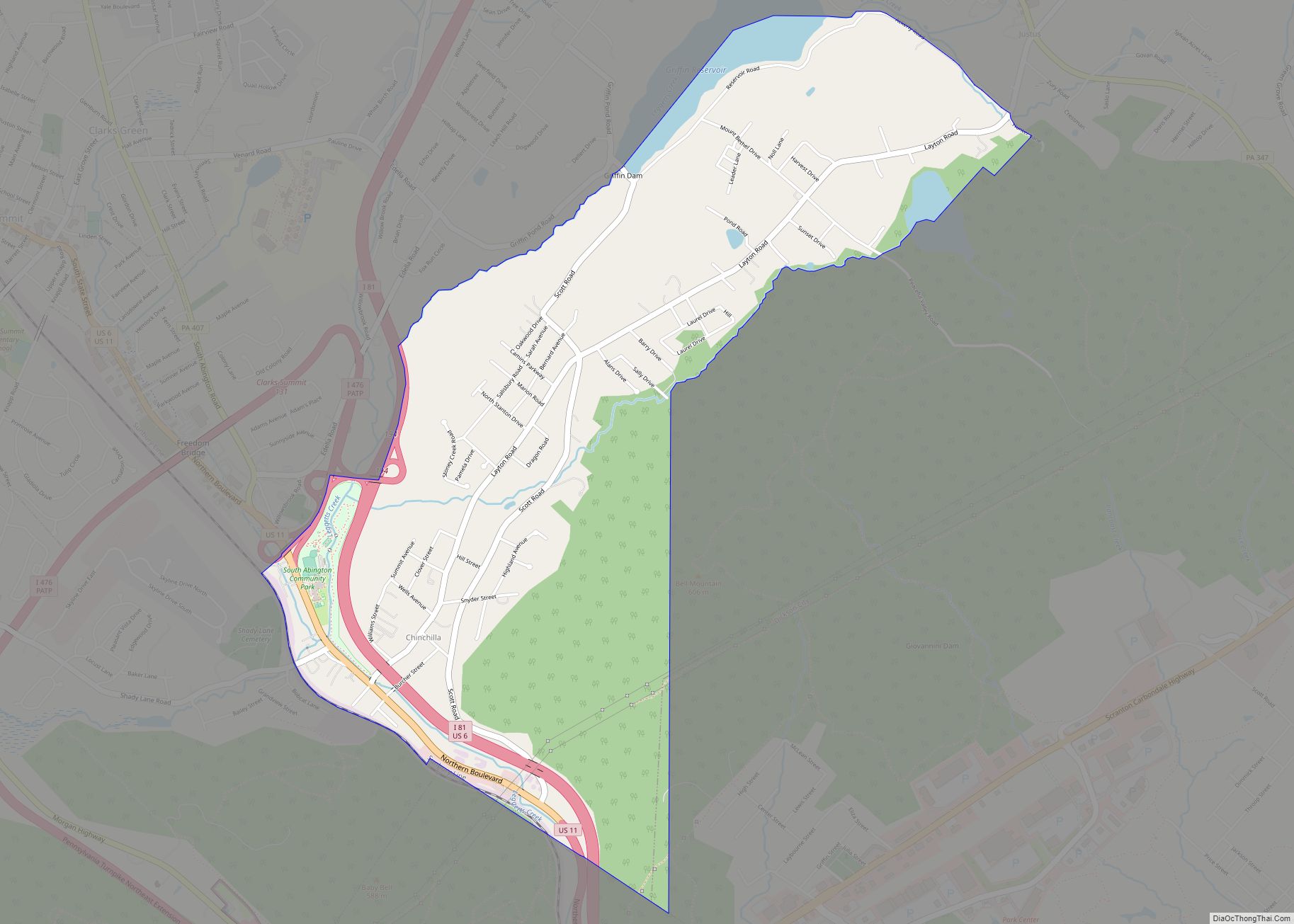
Online Interactive Map
Click on ![]() to view map in "full screen" mode.
to view map in "full screen" mode.
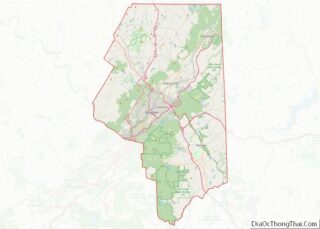
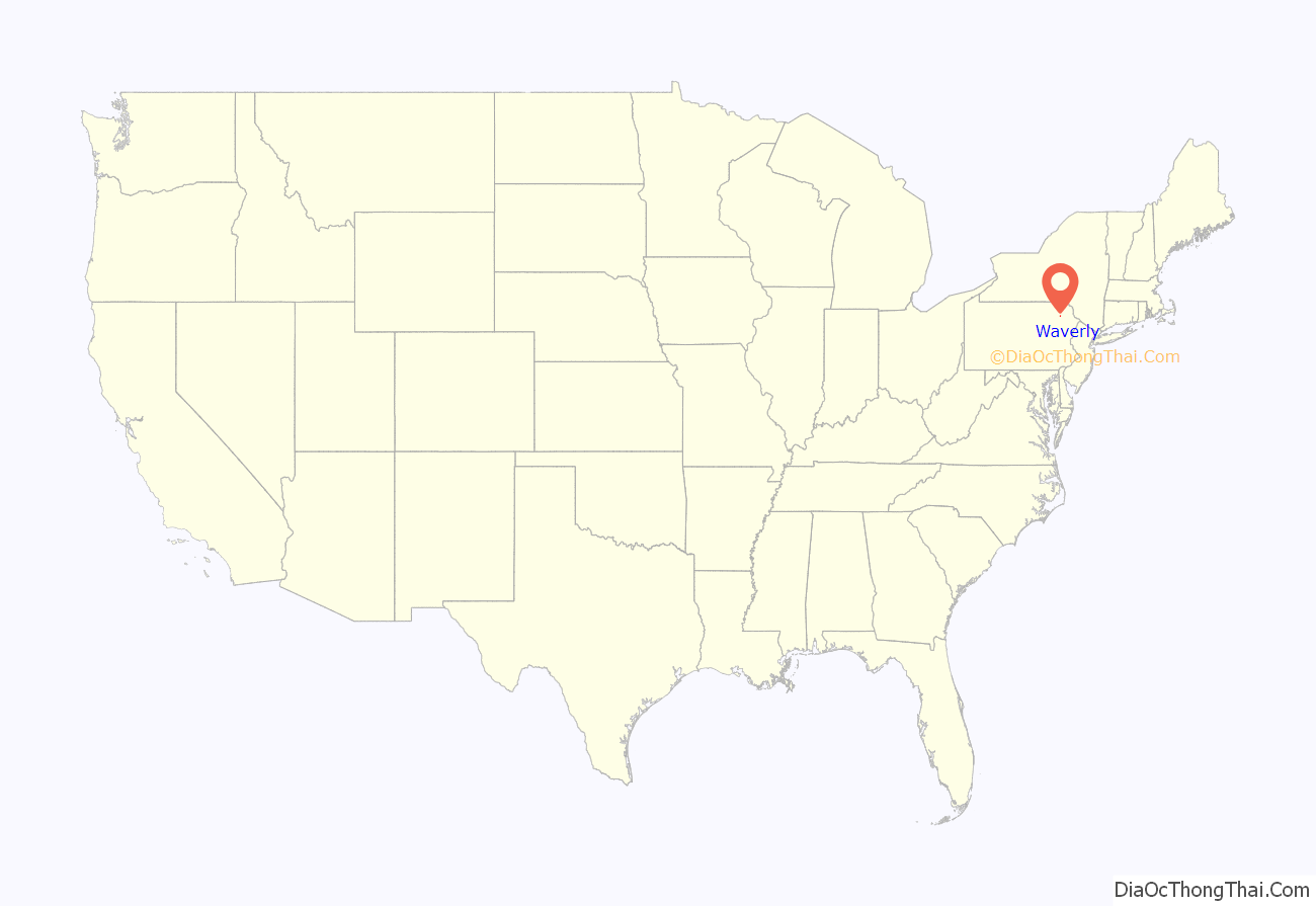
Waverly location map. Where is Waverly CDP?
History
The earliest settlers built cabins in Waverly around 1800. The Philadelphia and Great Bend Turnpike (now Main Street) was chartered in 1819 by the Pennsylvania Legislature along the Warriors’ Path. Started in 1820, this turnpike was completed in 1824. During this time, the first three houses which were not cabins were built. In 1828, the Wayside Inn was built, and the first doctor, Andrew Bedford, set up practice and built a house which stands today on Main Street. The first general store was built in 1830, followed by a second inn and tavern in 1832. A building boom ensued during the years 1847 through 1890, during which time Waverly was a profitable small-scale industrial center. 1850 through 1880 was the heyday of Waverly’s industrial era. Farmers and dairymen shipped their goods to New York City; iron foundries flourished, and numerous retail establishments, including greengrocers, bakers, a drugstore, dime store, hardware store, lumberyard, and harness shops, thrived. In 1880, the railroad was laid to the west of Waverly, and the prosperity of the town faded.
During the mid-19th century, Waverly was a stop on the Underground Railroad. Escaped slaves and freedmen found a sympathetic population in Waverly, and some settled in small houses built by a local farmer and sold to them. The freedmen also built the AME Church, which is in use today as a private residence. It is one of five churches in existence in 1872, three of which still stand and are still active congregations.
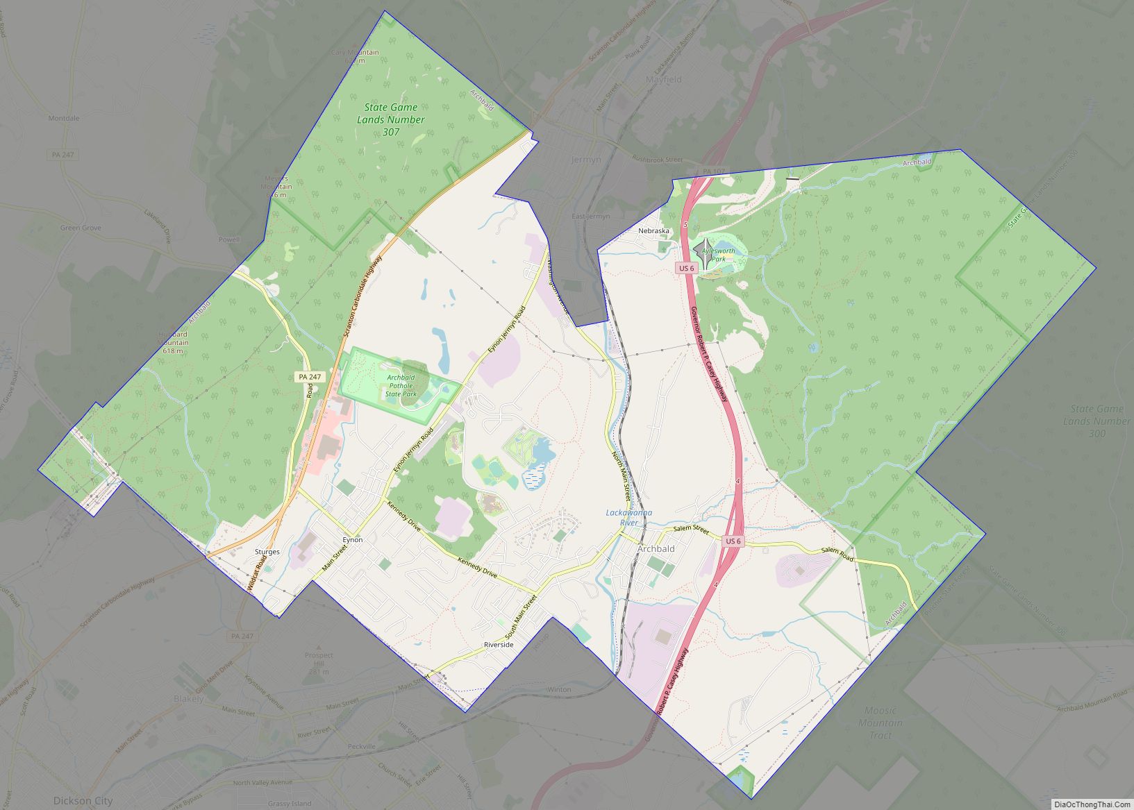
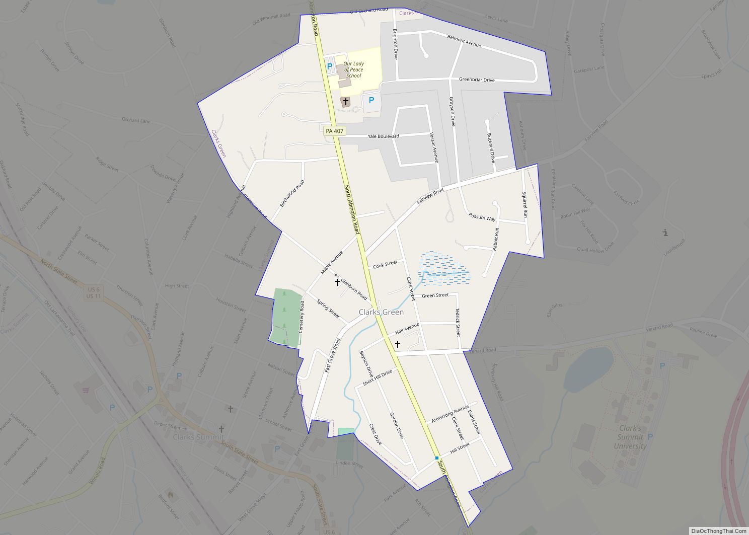
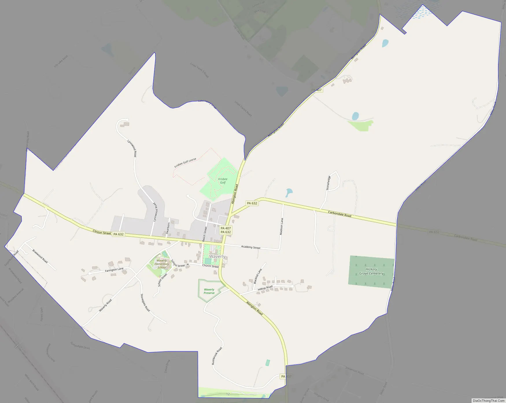
Waverly Road Map
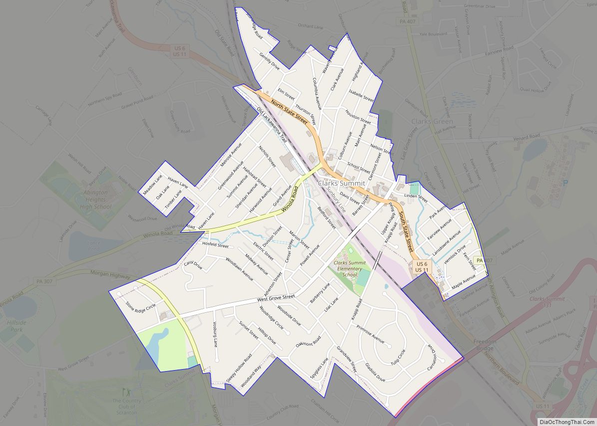
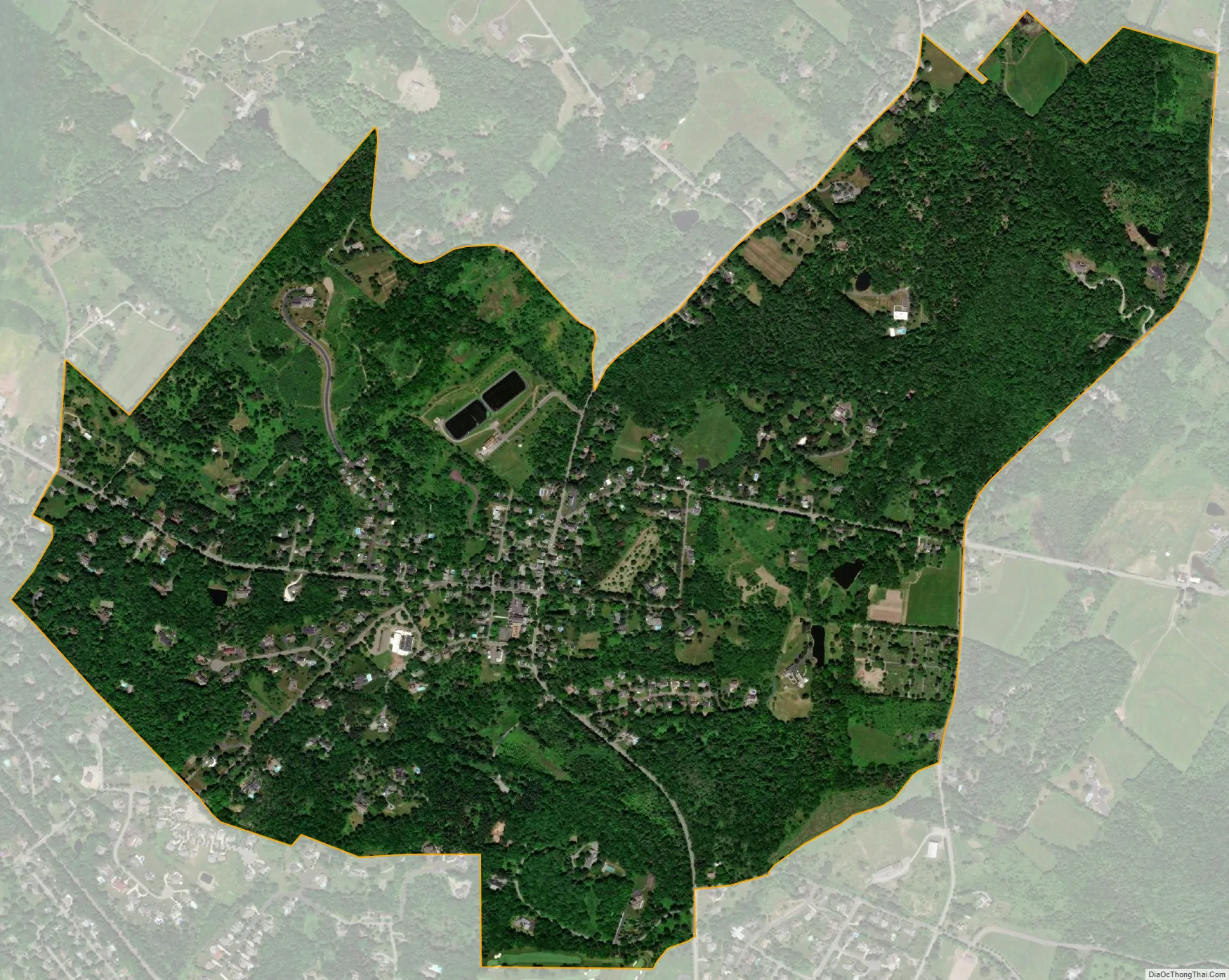
Waverly city Satellite Map
Geography
Waverly is in northwestern Lackawanna County and occupies the north-central part of Waverly Township. It is bordered to the northwest by the borough of Dalton, to the west by Glenburn Township, and to the northeast by North Abington Township. Pennsylvania Route 632 passes through Waverly, as Carbondale Road to the east of the center of town and as Clinton Street to the west. PA 632 leads east 3 miles (5 km) to Interstate 81 and west 2 miles (3 km) to the center of Dalton. Pennsylvania Route 407 (North Abington Road) crosses PA 632 in the center of Waverly and leads north 5 miles (8 km) to Fleetville and south 2 miles (3 km) to Clarks Green. Scranton is 9 miles (14 km) south of Waverly.
According to the U.S. Census Bureau, the Waverly CDP has an area of 1.6 square miles (4.1 km), of which 0.82 acres (3,328 m), or 0.08%, are water. The community drains west via Ackerly Creek and other streams to the south branch of Tunkhannock Creek, which flows west to the Susquehanna River.
See also
Map of Pennsylvania State and its subdivision:- Adams
- Allegheny
- Armstrong
- Beaver
- Bedford
- Berks
- Blair
- Bradford
- Bucks
- Butler
- Cambria
- Cameron
- Carbon
- Centre
- Chester
- Clarion
- Clearfield
- Clinton
- Columbia
- Crawford
- Cumberland
- Dauphin
- Delaware
- Elk
- Erie
- Fayette
- Forest
- Franklin
- Fulton
- Greene
- Huntingdon
- Indiana
- Jefferson
- Juniata
- Lackawanna
- Lancaster
- Lawrence
- Lebanon
- Lehigh
- Luzerne
- Lycoming
- Mc Kean
- Mercer
- Mifflin
- Monroe
- Montgomery
- Montour
- Northampton
- Northumberland
- Perry
- Philadelphia
- Pike
- Potter
- Schuylkill
- Snyder
- Somerset
- Sullivan
- Susquehanna
- Tioga
- Union
- Venango
- Warren
- Washington
- Wayne
- Westmoreland
- Wyoming
- York
- Alabama
- Alaska
- Arizona
- Arkansas
- California
- Colorado
- Connecticut
- Delaware
- District of Columbia
- Florida
- Georgia
- Hawaii
- Idaho
- Illinois
- Indiana
- Iowa
- Kansas
- Kentucky
- Louisiana
- Maine
- Maryland
- Massachusetts
- Michigan
- Minnesota
- Mississippi
- Missouri
- Montana
- Nebraska
- Nevada
- New Hampshire
- New Jersey
- New Mexico
- New York
- North Carolina
- North Dakota
- Ohio
- Oklahoma
- Oregon
- Pennsylvania
- Rhode Island
- South Carolina
- South Dakota
- Tennessee
- Texas
- Utah
- Vermont
- Virginia
- Washington
- West Virginia
- Wisconsin
- Wyoming