Wernersville is a borough in Berks County, Pennsylvania. The population was 2,494 at the 2010 census.
| Name: | Wernersville borough |
|---|---|
| LSAD Code: | 21 |
| LSAD Description: | borough (suffix) |
| State: | Pennsylvania |
| County: | Berks County |
| Elevation: | 387 ft (118 m) |
| Total Area: | 0.75 sq mi (1.95 km²) |
| Land Area: | 0.75 sq mi (1.95 km²) |
| Water Area: | 0.00 sq mi (0.00 km²) |
| Total Population: | 2,494 |
| Population Density: | 3,727.03/sq mi (1,438.82/km²) |
| ZIP code: | 19565 |
| Area code: | 610 and 484 |
| FIPS code: | 4282296 |
| Website: | www.wernersvilleborough.org |
Online Interactive Map
Click on ![]() to view map in "full screen" mode.
to view map in "full screen" mode.
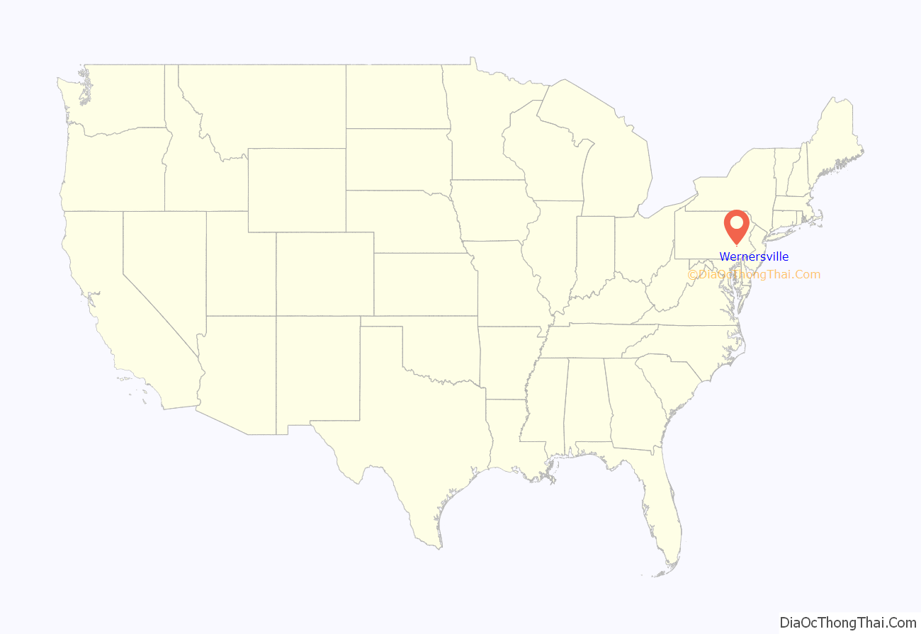
Wernersville location map. Where is Wernersville borough?
History
In the late 19th century and early 20th century, Wernersville was a noted resort community. City dwellers (especially from Philadelphia and New York City) traveled out to Wernersville, a stop on the Reading Railroad to rest and partake of the cool mountain air of South Mountain. A number of large resort hotels were erected for this purpose including Galen Hall, Bynden Wood, Grand View and the Highland Hotel. Some were advertised as sanatoriums, specializing in rest cures for illnesses such as tuberculosis. The most famous of these was Dr. Robert Walter’s Mountain Park (aka Walters Park). Most of these resort hotels have since disappeared due to fire, demolition, or have been transformed into buildings for institutional purposes. Some cottages once associated with the resorts are now private homes.
In 1891, the Wernersville State Hospital opened as the State Asylum for the Chronic Insane. The original hospital buildings remain standing and the State Hospital is still active.
There is a Jesuit Center with a small Jesuit community here; Wernersville was once the location of the Jesuit novitiate center for the Society’s Maryland Province, before the novitiates of the New York and Maryland provinces merged and it was relocated to Syracuse, New York.
The Lerch Tavern and Wertz Mill are listed on the National Register of Historic Places.
Wernersville Road Map
Wernersville city Satellite Map
Geography
Wernersville is located at 40°19′48″N 76°4′51″W / 40.33000°N 76.08083°W / 40.33000; -76.08083 (40.329941, -76.080701).
See also
Map of Pennsylvania State and its subdivision:- Adams
- Allegheny
- Armstrong
- Beaver
- Bedford
- Berks
- Blair
- Bradford
- Bucks
- Butler
- Cambria
- Cameron
- Carbon
- Centre
- Chester
- Clarion
- Clearfield
- Clinton
- Columbia
- Crawford
- Cumberland
- Dauphin
- Delaware
- Elk
- Erie
- Fayette
- Forest
- Franklin
- Fulton
- Greene
- Huntingdon
- Indiana
- Jefferson
- Juniata
- Lackawanna
- Lancaster
- Lawrence
- Lebanon
- Lehigh
- Luzerne
- Lycoming
- Mc Kean
- Mercer
- Mifflin
- Monroe
- Montgomery
- Montour
- Northampton
- Northumberland
- Perry
- Philadelphia
- Pike
- Potter
- Schuylkill
- Snyder
- Somerset
- Sullivan
- Susquehanna
- Tioga
- Union
- Venango
- Warren
- Washington
- Wayne
- Westmoreland
- Wyoming
- York
- Alabama
- Alaska
- Arizona
- Arkansas
- California
- Colorado
- Connecticut
- Delaware
- District of Columbia
- Florida
- Georgia
- Hawaii
- Idaho
- Illinois
- Indiana
- Iowa
- Kansas
- Kentucky
- Louisiana
- Maine
- Maryland
- Massachusetts
- Michigan
- Minnesota
- Mississippi
- Missouri
- Montana
- Nebraska
- Nevada
- New Hampshire
- New Jersey
- New Mexico
- New York
- North Carolina
- North Dakota
- Ohio
- Oklahoma
- Oregon
- Pennsylvania
- Rhode Island
- South Carolina
- South Dakota
- Tennessee
- Texas
- Utah
- Vermont
- Virginia
- Washington
- West Virginia
- Wisconsin
- Wyoming
