West Middlesex is a borough along the Shenango River in southwestern Mercer County, Pennsylvania, United States. The population was 815 at the 2020 Census. It is part of the Youngstown–Warren metropolitan area.
| Name: | West Middlesex borough |
|---|---|
| LSAD Code: | 21 |
| LSAD Description: | borough (suffix) |
| State: | Pennsylvania |
| County: | Mercer County |
| Total Area: | 0.84 sq mi (2.19 km²) |
| Land Area: | 0.84 sq mi (2.19 km²) |
| Water Area: | 0.00 sq mi (0.00 km²) |
| Total Population: | 815 |
| Population Density: | 950.30/sq mi (366.75/km²) |
| Area code: | 724 |
| FIPS code: | 4283496 |
Online Interactive Map
Click on ![]() to view map in "full screen" mode.
to view map in "full screen" mode.
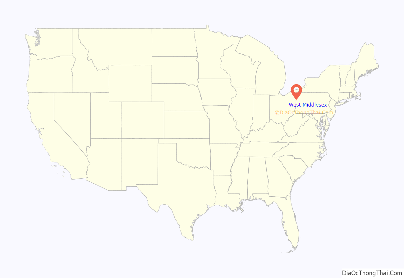
West Middlesex location map. Where is West Middlesex borough?
History
West Middlesex is one of the oldest localities in Mercer County. Samuel Byers, Andrew Wylie, William Bell, Richard Vanfleet and several others arrived in the vicinity in the late 18th century. In 1787, James Gibson received a plot of land west of the Shenango River for military services. Shortly thereafter, ownership of that land passed to Jacob Edeburn. In 1818, Jacob’s son William Edeburn built a log grist mill on part of the land. It was purchased by James McConnell in 1821, who built a log house nearby.
In 1830, Edeburn built a sawmill, and McConnell built a flour mill. James Gilkey, cultivator of the “Neshannock potatoes,” surveyed the site and platted the town in 1836 on McConnell’s land. A store and a tavern were opened about the time the town was platted, and in 1840 the post office was established, with Robert Young as the first postmaster.
In 1864 West Middlesex was incorporated as a borough. The first burgess was D. Edeburn, and the first members of the council were C.W. Watson, Hiram Veach and G.R. Tuttle.
West Middlesex was one of the first places in the Shenango Valley to become a center of the iron business. The old Middlesex furnace, erected in 1845, was a charcoal-burning plant. Additional coke and ore furnaces followed, including the Fannie (1873, remodeled in 1885) and the Ella (1882).
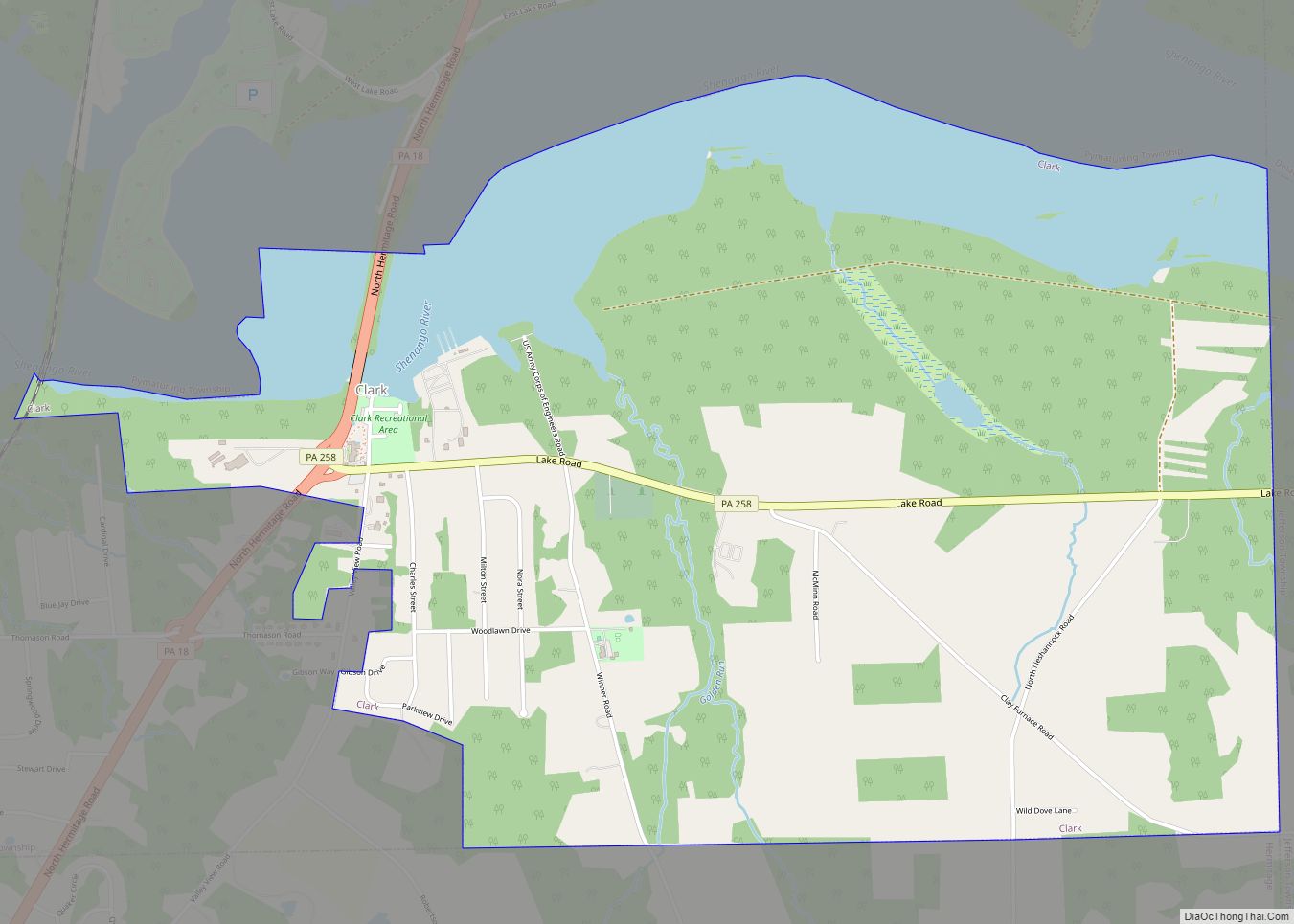
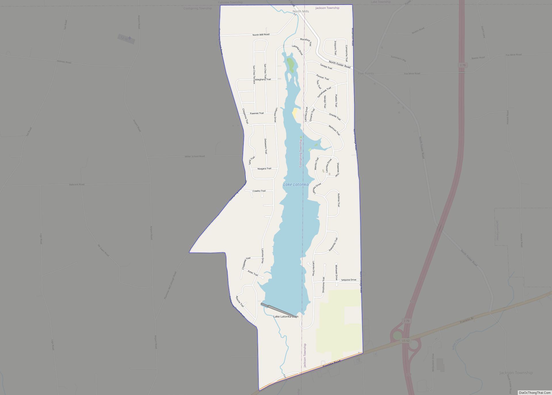
West Middlesex Road Map
West Middlesex city Satellite Map
Geography
West Middlesex is located at 41°10′25″N 80°27′25″W / 41.17361°N 80.45694°W / 41.17361; -80.45694 (41.173630, -80.456874).
According to the United States Census Bureau, the borough has a total area of 0.9 square miles (2.3 km). The Shenango River runs through West Middlesex, making it part of the Shenango Valley.
See also
Map of Pennsylvania State and its subdivision:- Adams
- Allegheny
- Armstrong
- Beaver
- Bedford
- Berks
- Blair
- Bradford
- Bucks
- Butler
- Cambria
- Cameron
- Carbon
- Centre
- Chester
- Clarion
- Clearfield
- Clinton
- Columbia
- Crawford
- Cumberland
- Dauphin
- Delaware
- Elk
- Erie
- Fayette
- Forest
- Franklin
- Fulton
- Greene
- Huntingdon
- Indiana
- Jefferson
- Juniata
- Lackawanna
- Lancaster
- Lawrence
- Lebanon
- Lehigh
- Luzerne
- Lycoming
- Mc Kean
- Mercer
- Mifflin
- Monroe
- Montgomery
- Montour
- Northampton
- Northumberland
- Perry
- Philadelphia
- Pike
- Potter
- Schuylkill
- Snyder
- Somerset
- Sullivan
- Susquehanna
- Tioga
- Union
- Venango
- Warren
- Washington
- Wayne
- Westmoreland
- Wyoming
- York
- Alabama
- Alaska
- Arizona
- Arkansas
- California
- Colorado
- Connecticut
- Delaware
- District of Columbia
- Florida
- Georgia
- Hawaii
- Idaho
- Illinois
- Indiana
- Iowa
- Kansas
- Kentucky
- Louisiana
- Maine
- Maryland
- Massachusetts
- Michigan
- Minnesota
- Mississippi
- Missouri
- Montana
- Nebraska
- Nevada
- New Hampshire
- New Jersey
- New Mexico
- New York
- North Carolina
- North Dakota
- Ohio
- Oklahoma
- Oregon
- Pennsylvania
- Rhode Island
- South Carolina
- South Dakota
- Tennessee
- Texas
- Utah
- Vermont
- Virginia
- Washington
- West Virginia
- Wisconsin
- Wyoming
