Woodlyn is a census-designated place (CDP) in Delaware County, Pennsylvania, United States. The population was 9,485 at the 2010 census, down from 10,036 at the 2000 census. It is a part of Ridley Township, and children residing within the community generally attend schools in the Ridley School District. Woodlyn is served by the Woodlyn Fire Co. for fire, rescue and EMS services.
| Name: | Woodlyn CDP |
|---|---|
| LSAD Code: | 57 |
| LSAD Description: | CDP (suffix) |
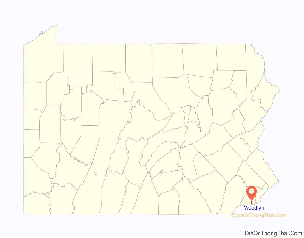
| State: | Pennsylvania |
| County: | Delaware County |
| Elevation: | 112 ft (34 m) |
| Total Area: | 1.7 sq mi (4 km²) |
| Land Area: | 1.7 sq mi (4 km²) |
| Water Area: | 0.0 sq mi (0 km²) |
| Total Population: | 9,485 |
| Population Density: | 5,600/sq mi (2,200/km²) |
| ZIP code: | 19094 |
| Area code: | 610 and 484 |
| FIPS code: | 4286288 |
| GNISfeature ID: | 2390534 |
Online Interactive Map
Click on ![]() to view map in "full screen" mode.
to view map in "full screen" mode.
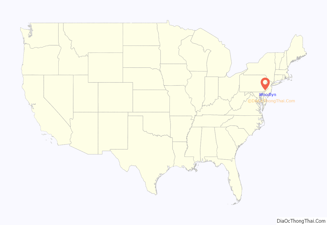
Woodlyn location map. Where is Woodlyn CDP?
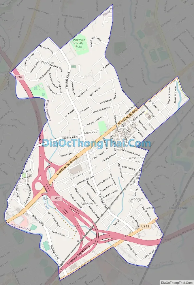
Woodlyn Road Map
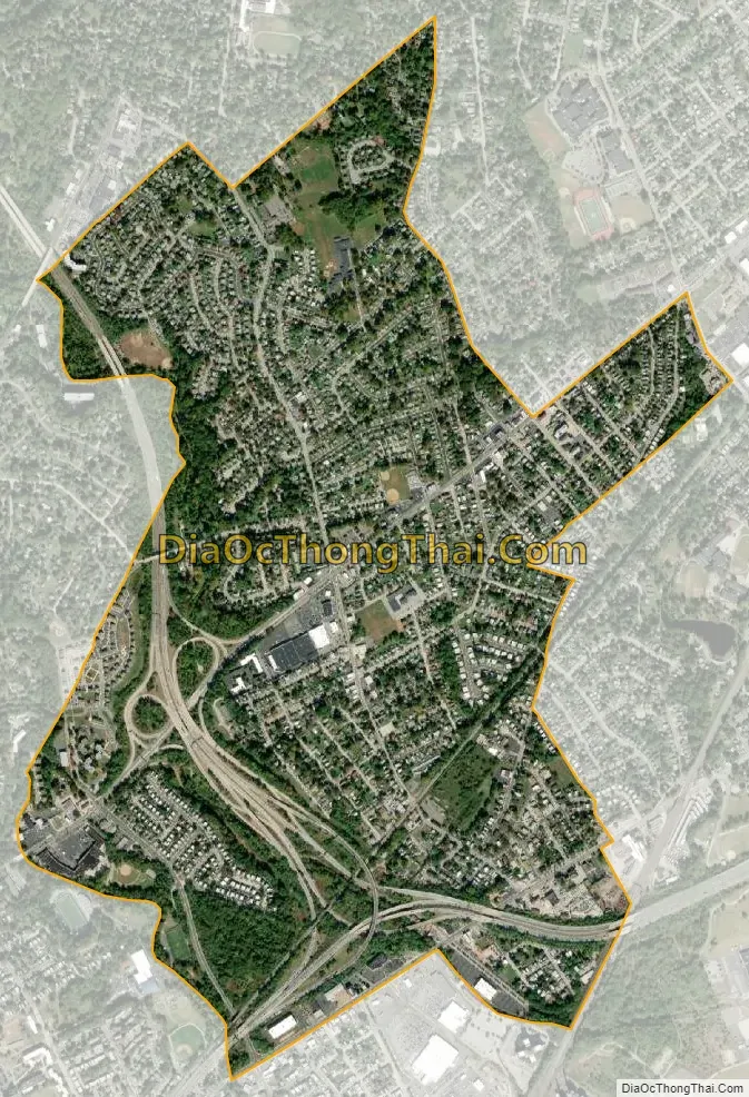
Woodlyn city Satellite Map
Geography
Woodlyn is located in the western part of Ridley Township. It is bordered to the northeast by the Folsom part of Ridley Township, to the east by the borough of Ridley Park, to the south by the borough of Eddystone, to the southwest by the city of Chester, to the west by Nether Providence Township, and to the north by Springfield Township and the borough of Swarthmore. Interstate 476 (the Blue Route) and Interstate 95 intersect in the southern part of Woodlyn. Center City, Philadelphia, is 14 miles (23 km) to the northeast via I-95.
According to the United States Census Bureau, the Woodlyn CDP has a total area of 1.7 square miles (4.3 km), all land.
See also
Map of Pennsylvania State and its subdivision:- Adams
- Allegheny
- Armstrong
- Beaver
- Bedford
- Berks
- Blair
- Bradford
- Bucks
- Butler
- Cambria
- Cameron
- Carbon
- Centre
- Chester
- Clarion
- Clearfield
- Clinton
- Columbia
- Crawford
- Cumberland
- Dauphin
- Delaware
- Elk
- Erie
- Fayette
- Forest
- Franklin
- Fulton
- Greene
- Huntingdon
- Indiana
- Jefferson
- Juniata
- Lackawanna
- Lancaster
- Lawrence
- Lebanon
- Lehigh
- Luzerne
- Lycoming
- Mc Kean
- Mercer
- Mifflin
- Monroe
- Montgomery
- Montour
- Northampton
- Northumberland
- Perry
- Philadelphia
- Pike
- Potter
- Schuylkill
- Snyder
- Somerset
- Sullivan
- Susquehanna
- Tioga
- Union
- Venango
- Warren
- Washington
- Wayne
- Westmoreland
- Wyoming
- York
- Alabama
- Alaska
- Arizona
- Arkansas
- California
- Colorado
- Connecticut
- Delaware
- District of Columbia
- Florida
- Georgia
- Hawaii
- Idaho
- Illinois
- Indiana
- Iowa
- Kansas
- Kentucky
- Louisiana
- Maine
- Maryland
- Massachusetts
- Michigan
- Minnesota
- Mississippi
- Missouri
- Montana
- Nebraska
- Nevada
- New Hampshire
- New Jersey
- New Mexico
- New York
- North Carolina
- North Dakota
- Ohio
- Oklahoma
- Oregon
- Pennsylvania
- Rhode Island
- South Carolina
- South Dakota
- Tennessee
- Texas
- Utah
- Vermont
- Virginia
- Washington
- West Virginia
- Wisconsin
- Wyoming


